

Village Atzalan, Veracruz Xalapa and the coffee hills
Coffee-growing village in Atzalan, wrapped in mist above the canyons, 11 km from the El Cuajilote ruins at Filobobos; fair 9-20 May.
From Martínez de la Torre: 45 min by car (45 km by road) How to get there ↓
Near here
See everything nearby ↓




Plan your visit to Plan de Arroyos
Where to stay near Plan de Arroyos
Compare hotels, posadas and guest houses in Plan de Arroyos.
Tours to Plan de Arroyos
Day trips and guided outings from Teziutlán often include Plan de Arroyos; with a local guide you can get there without a car.
How to get to Plan de Arroyos
- From Martínez de la Torre: about 45 min by road (~45 km)
- Nearest airport: Poza Rica (PAZ), 2 h 14 min by car to Teziutlán
Links open a partner site. We may earn a commission if you book, at no cost to you.
About Plan de Arroyos
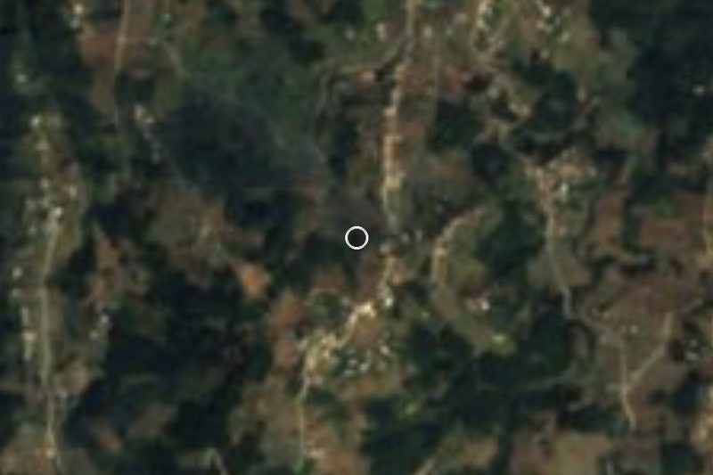
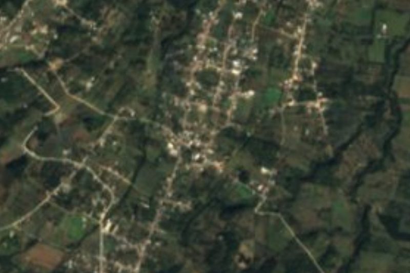
Plan de Arroyos is the largest community in the municipality of Atzalan, bigger than the municipal seat itself: the 2020 census counted 3,387 residents. It sits at about 820 metres on the slopes falling toward the Bobos River basin, 23 km from Tlapacoyan and 11 km from El Cuajilote, one of the two excavated sites in the Filobobos archaeological zone.
Coffee runs the place. The village calls itself "the cradle of coffee" and high-grown beans are farmed on the surrounding hills; older growers call the March-to-May fog "blandura" and credit it with bringing the coffee plants into flower. Citrus, bananas, maize and allspice are grown too. The climate is semi-warm and wet, averaging around 22 °C with roughly 2,600 mm of rain a year, so mist hangs over the plaza much of the time. The one famous break in that mild weather came on the night of 23 December 1989, when several hours of snow fell and wiped out the coffee and banana harvests.
Over time it became the trading centre for this part of Atzalan, with a market, a sports ground, an auditorium and an IMSS hospital. Two dates fill the streets: the feast of the Virgin of Guadalupe on 12 December, with Mass and a small fair, and the May fair, now running from the 9th to the 20th with rides, fireworks, dances, cockfights and horse races, plus the crowning of a coffee-blossom queen.
How to get to Plan de Arroyos
Drive from Martínez de la Torre: 45 min, 45 km
By car, the way in is through Tlapacoyan: from there it is about 23 km, some 25 minutes, on the road that leaves town along Prolongación Zaragoza. From Xalapa it is about 119 km, roughly 1 h 50 min: the 140D toll road toward Perote, the turn-off to Altotonga, then Federal Highway 131 from Altotonga to Tlapacoyan. From Teziutlán, the nearest Pueblo Mágico, it is about 54 km, just under an hour, on Federal Highway 129 to Tlapacoyan. By bus, ADO serves Tlapacoyan from Mexico City's TAPO (about 5 h 15 min), Puebla's CAPU (about 3 h), Xalapa's CAXA terminal (about 3 h 40 min), Teziutlán (1 h) and Martínez de la Torre (45 min). We found no published colectivo timetable between Tlapacoyan and Plan de Arroyos; plan on a taxi or local transport arranged in Tlapacoyan for the last stretch.
Directions to Plan de Arroyos on Google Maps
Distances are in a straight line; the road is usually longer.
Links open a partner site. We may earn a commission if you book, at no cost to you.
From the nearest cities to Plan de Arroyos
- Martínez de la Torre · 45 km by road, 45 min
- Teziutlán · 54 km by road, 55 min
- Papantla · 121 km by road, 1 h 45 min
Drive times by road from OpenStreetMap, without traffic or stops. Times marked ~ are estimated from the straight-line distance.
Visiting Plan de Arroyos: what to see and do
The Church of Our Lady of Guadalupe.
The central park and its bandstand, often lost in fog.
The high-grown coffee plantations around the village.
The Bobos River and Las Pozas, local swimming spots.
The ruins of the old house known as "La Industria".
The Filobobos archaeological zone: El Cuajilote, 11 km away, with its central plaza and ball court, and Vega de la Peña 4 km further north.
The May fair (9th to 20th) and the Guadalupe feast on 12 December.
Plan your trip
Places to stay in Plan de Arroyos
Compare hotels, posadas, and rentals in and around Plan de Arroyos.
Tours & activities
Day trips and guided outings from Teziutlán often include Plan de Arroyos; with a local guide you can get there without a car.
Rental cars
Pick up a car at PAZ (Poza Rica): about 2 h 14 min by road to Teziutlán, then 27 km more to Plan de Arroyos, on your own schedule.
Flights
The nearest airport with scheduled flights is Poza Rica (PAZ), about 2 h 14 min by road from Teziutlán, the base for Plan de Arroyos.
Mobile data
Signal can drop away from Teziutlán: download a map of the way to Plan de Arroyos before you set out, or carry an eSIM with data.
Links open a partner site. We may earn a commission if you book, at no cost to you.
When to go to Plan de Arroyos cool
Plan de Arroyos shares the climate of Teziutlán, 27 km away. The best months to visit are February, March, April, and November.
See the month-by-month climate of Teziutlán
Weather in Plan de Arroyos now and the next 7 days
Live forecast from Open-Meteo. Chance of rain is the day's highest.
The closest Pueblo Mágico: Teziutlán

Teziutlán is the Pueblo Mágico closest to Plan de Arroyos, with places to stay, food, and more to see.
Also close to
- Naolinco · Veracruz · 36 km away
- Tlatlauquitepec · Puebla · 41 km away
- Cuetzalan · Puebla · 45 km away
- Coatepec · Veracruz · 51 km away
- Xico · Veracruz · 54 km away
Closest to Plan de Arroyos
-
Río Filobobos · Nature reserve · 8 km away
-
Hueytamalco · Town · 19 km away
-
Tenochtitlán · Town · 22 km away
-
Adolfo Moreno · Village · 23 km away
-
Pancho Poza · Waterfall · 23 km away
-
Santiago · Village · 24 km away
-
San Juan Xiutetelco · Archaeological site · 25 km away
-
San Francisco · Village · 26 km away
Near Plan de Arroyos




Drive times by road from OpenStreetMap, without traffic. Times marked ~ are estimated from the straight-line distance.
Location from OpenStreetMap. Written by Puebloteca.