
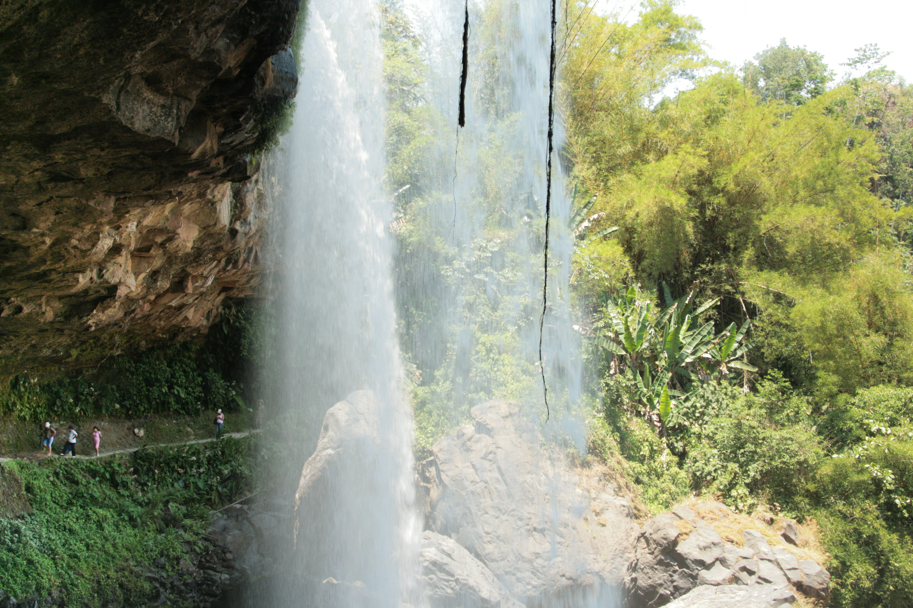
Village Ayotoxco de Guerrero, Puebla Sierra Norte de Puebla
"Place of armadillos": a Totonac-rooted seat at 303 m on the warm slope of the Sierra Norte, with an October maize and Saint Francis fair.
From Teziutlán: 50 min by car (55 km by road) How to get there ↓
Near here
See everything nearby ↓




Plan your visit to Ayotoxco de Guerrero
Where to stay near Ayotoxco de Guerrero
Compare hotels, posadas and guest houses in Ayotoxco de Guerrero.
Tours to Ayotoxco de Guerrero
Day trips and guided outings from Cuetzalan often include Ayotoxco de Guerrero; with a local guide you can get there without a car.
How to get to Ayotoxco de Guerrero
- From Teziutlán: about 50 min by road (~55 km)
- Nearest airport: Poza Rica (PAZ), 2 h 46 min by car to Cuetzalan
Links open a partner site. We may earn a commission if you book, at no cost to you.
About Ayotoxco de Guerrero
From 1 to 6 October Ayotoxco honours Saint Francis of Assisi and, at the same time, holds its regional maize fair: livestock, food and craft shows, and jaripeos (rodeo riding) reputed to be among the best in Puebla's northeastern sierra. The rest of the year it is a hot-country town of 3,163 people in 2020, sitting at just 303 metres where the Sierra Norte de Puebla drops toward the Gulf coast, 14 km in a straight line from Cuetzalan and 49 km from Poza Rica. Its name comes from ayotochtli, armadillo (literally "turtle-rabbit"), with the place ending co: "place of armadillos". The "de Guerrero" was added in 1930 in honour of Vicente Guerrero.
It was founded by Totonacs before the conquest and later subdued by the Triple Alliance; in 1519 it answered to Tlatlauquitepec, and in the 16th century it came under the encomienda system. The state congress raised the hamlet to pueblo status in 1850 and in 1930 split it from Tlatlauquitepec as the seat of its own municipality, which now borders Tenampulco, Hueytamalco, Tlatlauquitepec, Yaonáhuac and Cuetzalan. On the west runs the powerful Apulco River, which for more than 20 km marks the line with Cuetzalan and Jonotla before joining the Tecolutla; through the centre the Huitzilac and Gachupinate flow down to the Metzonate. Between 2,400 and 3,600 mm of rain falls here each year, and in June 2008 floods on these rivers put some twenty thousand people in the region at risk.
Nearly six in ten hectares are pasture and a third is farmed, so cattle matter as much as maize. Close to two thousand people in the municipality speak Totonac or Nahuatl. Craftspeople make hemp cast nets weighted with lead, vine baskets, ixtle horse straps and drawn-thread tablecloths. The cooking comes from river and hearth: acamayas (river prawns) in garlic or broth, pork and chicken barbacoa, oven-baked stuffed pork, smoked meats and mondongo, with pumpkin-seed jamoncillo, cocada and pepitoria for dessert, and tepache or yolixpa, an aguardiente steeped with aromatic herbs, to drink. Close by is El Paraíso de Ayotoxco, an ecotourism ranch with a zip line, rappelling, horse rides to petroglyphs and a temazcal.
How to get to Ayotoxco de Guerrero
Drive from Teziutlán: 50 min, 55 km
Ayotoxco lies 144 km in a straight line from Puebla city, on the Sierra Norte's descent toward Veracruz. By car, take the Mexico-Puebla highway toward Amozoc, turn off at Chachapa for Teziutlán, then drop down to Ayotoxco, roughly another hour. By bus, ADO and VIA leave Puebla's CAPU for Teziutlán (about 2 h 30 min); we found no published timetable for the Teziutlán-Ayotoxco leg, so ask about local transport in Teziutlán.
Directions to Ayotoxco de Guerrero on Google Maps
Distances are in a straight line; the road is usually longer.
Links open a partner site. We may earn a commission if you book, at no cost to you.
From the nearest cities to Ayotoxco de Guerrero
- Teziutlán · 55 km by road, 50 min
- Papantla · 55 km by road, 1 h
- Martínez de la Torre · 71 km by road, 1 h 10 min
Drive times by road from OpenStreetMap, without traffic or stops. Times marked ~ are estimated from the straight-line distance.
Visiting Ayotoxco de Guerrero: what to see and do
The Saint Francis and maize fair, 1 to 6 October, with jaripeos and a livestock show.
The Apulco River on the Cuetzalan boundary.
El Paraíso de Ayotoxco: zip line, rappelling and horse rides to petroglyphs (book rappelling and temazcal ahead).
The Plan de Guinea waterfall nearby.
Plan your trip
Places to stay in Ayotoxco de Guerrero
Compare hotels, posadas, and rentals in and around Ayotoxco de Guerrero.
Tours & activities
Day trips and guided outings from Cuetzalan often include Ayotoxco de Guerrero; with a local guide you can get there without a car.
Rental cars
Pick up a car at PAZ (Poza Rica): about 2 h 46 min by road to Cuetzalan, then 14 km more to Ayotoxco de Guerrero, on your own schedule.
Flights
The nearest airport with scheduled flights is Poza Rica (PAZ), about 2 h 46 min by road from Cuetzalan, the base for Ayotoxco de Guerrero.
Mobile data
Signal can drop away from Cuetzalan: download a map of the way to Ayotoxco de Guerrero before you set out, or carry an eSIM with data.
Links open a partner site. We may earn a commission if you book, at no cost to you.
When to go to Ayotoxco de Guerrero mild
Ayotoxco de Guerrero shares the climate of Cuetzalan, 14 km away. The best months to visit are February, March, April, and December.
See the month-by-month climate of Cuetzalan
Weather in Ayotoxco de Guerrero now and the next 7 days
Live forecast from Open-Meteo. Chance of rain is the day's highest.
The closest Pueblo Mágico: Cuetzalan

Cuetzalan is the Pueblo Mágico closest to Ayotoxco de Guerrero, with places to stay, food, and more to see.
Also close to
- Zozocolco · Veracruz · 19 km away
- Teziutlán · Puebla · 28 km away
- Tlatlauquitepec · Puebla · 29 km away
- Papantla · Veracruz · 40 km away
- Tetela de Ocampo · Puebla · 52 km away
Closest to Ayotoxco de Guerrero
-
Mazatepec · Village · 9 km away
-
Yohualichan · Archaeological site · 10 km away
-
Cascada Las Brisas · Waterfall · 14 km away
-
Presa La Soledad · Lake · 16 km away
-
San Miguel Tzinacapan · Town · 16 km away
-
Tuzamapan de Galeana · Village · 18 km away
-
Jonotla · Town · 19 km away
-
Caxhuacan · Village · 21 km away


Near Ayotoxco de Guerrero





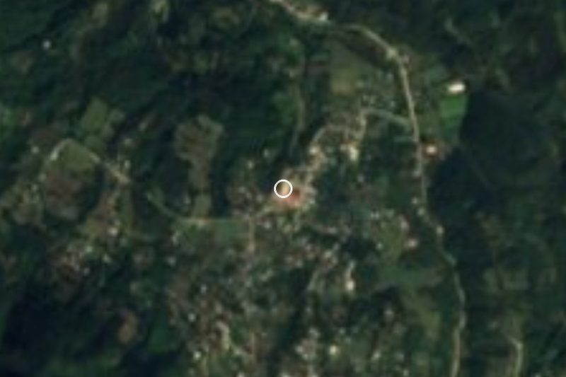

Drive times by road from OpenStreetMap, without traffic. Times marked ~ are estimated from the straight-line distance.
Location from OpenStreetMap. Written by Puebloteca.