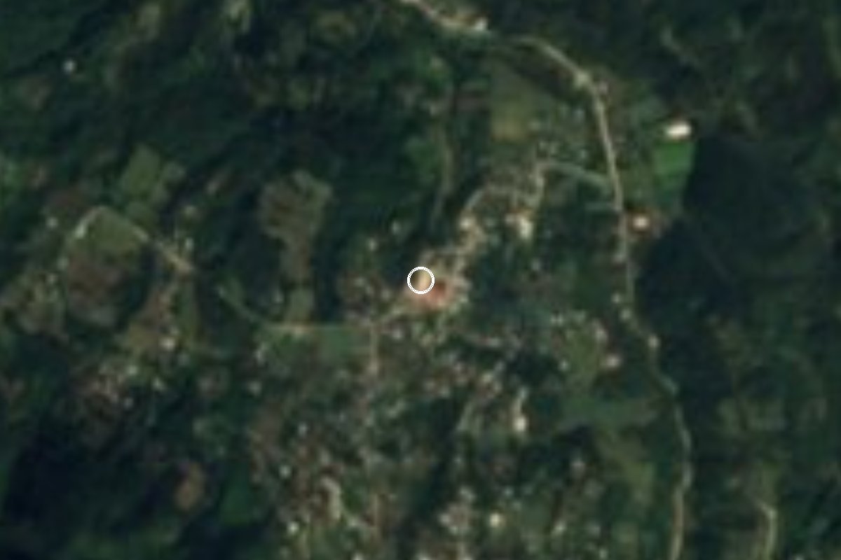
Village Teziutlán, Puebla Sierra Norte de Puebla
Teziutlán sub-municipality older than the city itself; its glyph, 'hill of the magueys', fills one quarter of Teziutlán's coat of arms.
From Teziutlán: 20 min by car (12 km by road) How to get there ↓
Near here
See everything nearby ↓



Plan your visit to Mexcalcuautla
Where to stay near Mexcalcuautla
Compare hotels, posadas and guest houses in Mexcalcuautla.
Tours to Mexcalcuautla
Day trips and guided outings from Teziutlán often include Mexcalcuautla; with a local guide you can get there without a car.
How to get to Mexcalcuautla
- From Teziutlán: about 20 min by road (~12 km)
- Nearest airport: Poza Rica (PAZ), 2 h 14 min by car to Teziutlán
Links open a partner site. We may earn a commission if you book, at no cost to you.
About Mexcalcuautla
Mexcalcuautla is older than the city it now belongs to. In March 1552, when the inspector Diego Ramírez Mendoza came to set the boundaries of the area's towns and found Teziutlán, his arrival was prepared by the Tlaxcalan brothers Miguel and Martín de Rojas, newly named governor and mayor of Mexcalcuautla. The story goes that its founders later left to build Teziutlán, and the village has stayed small ever since.
That history lives on in Teziutlán's coat of arms, adopted by decree in 1943: one quarter shows Mexcalcuautla with a glyph meaning 'hill of the magueys', on the northern end of Cerro Chignautla, its gold field standing for the mineral wealth of the old lordship.
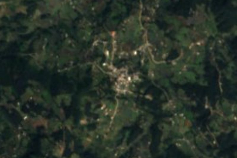
Today it is one of the municipality's five juntas auxiliares (sub-municipal districts), about 6 km northwest of central Teziutlán at 1,646 m, in wooded country that makes it colder than the city. It had 2,124 residents in 2020. Most make a living from farming, mainly maize, and from raising livestock and poultry. Its main historic building is the church.
Every 29 July, during Teziutlán's regional fair for the Padre Jesús de Jalacingo, the juntas auxiliares carry their patron saints out to visit those of the other communities.
How to get to Mexcalcuautla
Drive from Teziutlán: 20 min, 12 km
From the centre of the Pueblo Mágico of Teziutlán, leave along Avenida Morelos and follow streets and local roads northwest: about 13 km and 20 minutes (the federal encyclopedia of municipalities described 9 km of dirt road). From Xalapa, Veracruz, take the 140D toll road (Xalapa–Puebla) to the Perote area and then federal highway 131 to Teziutlán: about 100 km and 1 h 35 min. Teziutlán is about 180 km from Puebla city, according to the same encyclopedia.
Directions to Mexcalcuautla on Google Maps
Distances are in a straight line; the road is usually longer.
Links open a partner site. We may earn a commission if you book, at no cost to you.
From the nearest cities to Mexcalcuautla
- Teziutlán · 12 km by road, 20 min
- Martínez de la Torre · 64 km by road, 1 h 10 min
- Poza Rica · about 95 km by road, ~1 h 25 min
Drive times by road from OpenStreetMap, without traffic or stops. Times marked ~ are estimated from the straight-line distance.
Visiting Mexcalcuautla: what to see and do
The village church, its main historic building.
The wooded country north of Teziutlán.
The patron saints' visits between juntas auxiliares on 29 July.
Teziutlán's coat of arms, with Mexcalcuautla's glyph.
Central Teziutlán: Parque Hidalgo, the cathedral and the 18th-century Carmen church.
Plan your trip
Places to stay in Mexcalcuautla
Compare hotels, posadas, and rentals in and around Mexcalcuautla.
Tours & activities
Day trips and guided outings from Teziutlán often include Mexcalcuautla; with a local guide you can get there without a car.
Rental cars
Pick up a car at PAZ (Poza Rica): about 2 h 14 min by road to Teziutlán, then 4 km more to Mexcalcuautla, on your own schedule.
Flights
The nearest airport with scheduled flights is Poza Rica (PAZ), about 2 h 14 min by road from Teziutlán, the base for Mexcalcuautla.
Mobile data
Signal can drop away from Teziutlán: download a map of the way to Mexcalcuautla before you set out, or carry an eSIM with data.
Links open a partner site. We may earn a commission if you book, at no cost to you.
When to go to Mexcalcuautla cool
Mexcalcuautla shares the climate of Teziutlán, 4 km away. The best months to visit are February, March, April, and November.
See the month-by-month climate of Teziutlán
Weather in Mexcalcuautla now and the next 7 days
Live forecast from Open-Meteo. Chance of rain is the day's highest.
The closest Pueblo Mágico: Teziutlán

Teziutlán is the Pueblo Mágico closest to Mexcalcuautla, with places to stay, food, and more to see.
Also close to
- Tlatlauquitepec · Puebla · 11 km away
- Cuetzalan · Puebla · 22 km away
- Zozocolco · Veracruz · 37 km away
- Tetela de Ocampo · Puebla · 44 km away
- Naolinco · Veracruz · 59 km away
Closest to Mexcalcuautla
-
Tacopan · Village · 5 km away
-
Hueyapan · Town · 6 km away
-
Manantiales de Chignautla · Nature reserve · 6 km away
-
Ahuehuetes · Village · 7 km away
-
Coahuixco · Village · 7 km away
-
Sosa · Village · 7 km away
-
Teteles de Ávila Castillo · Village · 7 km away
-
Atempan · Town · 8 km away

Near Mexcalcuautla
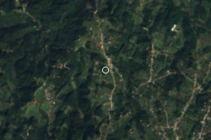





Drive times by road from OpenStreetMap, without traffic. Times marked ~ are estimated from the straight-line distance.
Location from OpenStreetMap. Written by Puebloteca.