Village Zaragoza, Puebla Sierra Norte de Puebla
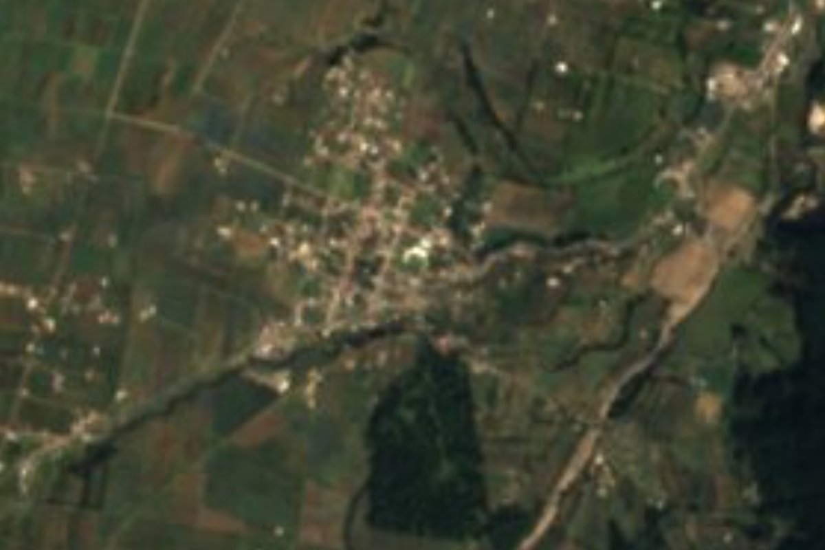
Village in the municipality of Zaragoza, in the north-eastern sierra, named for José María Morelos, among farmland near Tlatlauquitepec.
From Teziutlán: 25 min by car (31 km by road) How to get there ↓
Near here
See everything nearby ↓


Plan your visit to Morelos
Where to stay near Morelos
Compare hotels, posadas and guest houses in Morelos.
Tours to Morelos
Day trips and guided outings from Tlatlauquitepec often include Morelos; with a local guide you can get there without a car.
How to get to Morelos
- From Teziutlán: about 25 min by road (~31 km)
- Nearest airport: Poza Rica (PAZ), 2 h 6 min by car to Tlatlauquitepec
Links open a partner site. We may earn a commission if you book, at no cost to you.
About Morelos
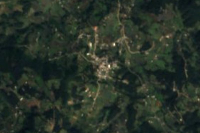
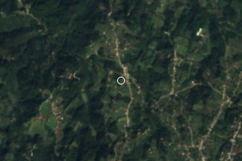
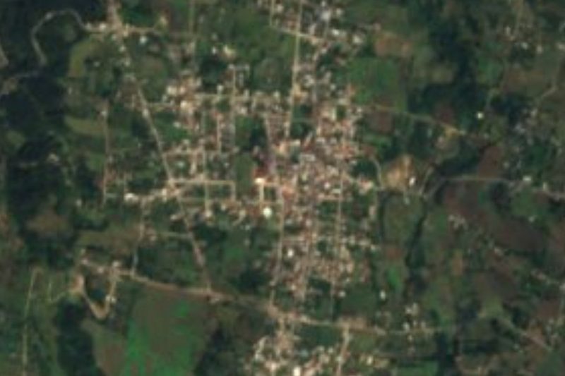
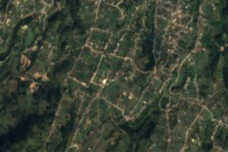
Morelos is named for José María Morelos, the priest who led the fight for independence after Hidalgo's death. It is a village of 1,621 people (2020) in the municipality of Zaragoza, in Puebla's north-eastern sierra, at about 2,330 m and some 14 km from Tlatlauquitepec. From above it appears surrounded by fields.
Zaragoza is heavily farmed: 78% of its land is cultivated, almost 10% is now built up and forest covers barely 11%. The climate is temperate and sub-humid, averaging 12 to 16 °C with 700 to 1,100 mm of summer rain, heavier in the wettest strip. Its seasonal streams, such as the Acongo and Acuaco, drain to the Apulco River and on to the Tecolutla, on the Gulf side.
In the municipal seat, the parish church of Nuestra Señora del Pilar was begun in 1923, and the railway station dates from the early 20th century. Some 700 speakers of indigenous languages live in the municipality, mostly Nahuatl and Totonac. People work woollen textiles and carve wood. Local meals include mole ranchero, mole de olla, smoked chicken, tamales and enchiladas, with fruit preserves, atole, coffee and yolixpa liqueur.
How to get to Morelos
Drive from Teziutlán: 25 min, 31 km
Morelos lies in the municipality of Zaragoza, about 14 km from Tlatlauquitepec and some 103 km in a straight line from Puebla city. Take the Puebla–Teziutlán road via Zaragoza; CAPU buses to Teziutlán and Tlatlauquitepec pass through the area.
Directions to Morelos on Google Maps
Distances are in a straight line; the road is usually longer.
Links open a partner site. We may earn a commission if you book, at no cost to you.
From the nearest cities to Morelos
- Teziutlán · 31 km by road, 25 min
- Huamantla · 76 km by road, 1 h
- Martínez de la Torre · 85 km by road, 1 h 15 min
Drive times by road from OpenStreetMap, without traffic or stops. Times marked ~ are estimated from the straight-line distance.
Visiting Morelos: what to see and do
The farmland of the north-eastern sierra.
The Pilar parish church and railway station in Zaragoza.
Tlatlauquitepec, a Pueblo Mágico about 14 km away.
Plan your trip
Places to stay in Morelos
Compare hotels, posadas, and rentals in and around Morelos.
Tours & activities
Day trips and guided outings from Tlatlauquitepec often include Morelos; with a local guide you can get there without a car.
Rental cars
Pick up a car at PAZ (Poza Rica): about 2 h 6 min by road to Tlatlauquitepec, then 14 km more to Morelos, on your own schedule.
Flights
The nearest airport with scheduled flights is Poza Rica (PAZ), about 2 h 6 min by road from Tlatlauquitepec, the base for Morelos.
Mobile data
Signal can drop away from Tlatlauquitepec: download a map of the way to Morelos before you set out, or carry an eSIM with data.
Links open a partner site. We may earn a commission if you book, at no cost to you.
When to go to Morelos cool
Morelos shares the climate of Tlatlauquitepec, 14 km away. The best months to visit are February, March, April, and May.
See the month-by-month climate of Tlatlauquitepec
Weather in Morelos now and the next 7 days
Live forecast from Open-Meteo. Chance of rain is the day's highest.
The closest Pueblo Mágico: Tlatlauquitepec

Tlatlauquitepec is the Pueblo Mágico closest to Morelos, with places to stay, food, and more to see.
Also close to
- Teziutlán · Puebla · 25 km away
- Tetela de Ocampo · Puebla · 25 km away
- Cuetzalan · Puebla · 30 km away
- Zozocolco · Veracruz · 43 km away
- Zacatlán · Puebla · 45 km away
Closest to Morelos
-
Zaragoza · Town · 3 km away
-
San Miguel Tenextatiloyan · Village · 5 km away
-
Oyameles · Village · 8 km away
-
Cinco de Mayo · Village · 11 km away
-
Tatoxcac · Village · 13 km away
-
Zacapoaxtla · Town · 13 km away
-
Ahuacatlán · Village · 15 km away
-
Tlamanca · Village · 15 km away

Near Morelos





Drive times by road from OpenStreetMap, without traffic. Times marked ~ are estimated from the straight-line distance.
Location from OpenStreetMap. Written by Puebloteca.