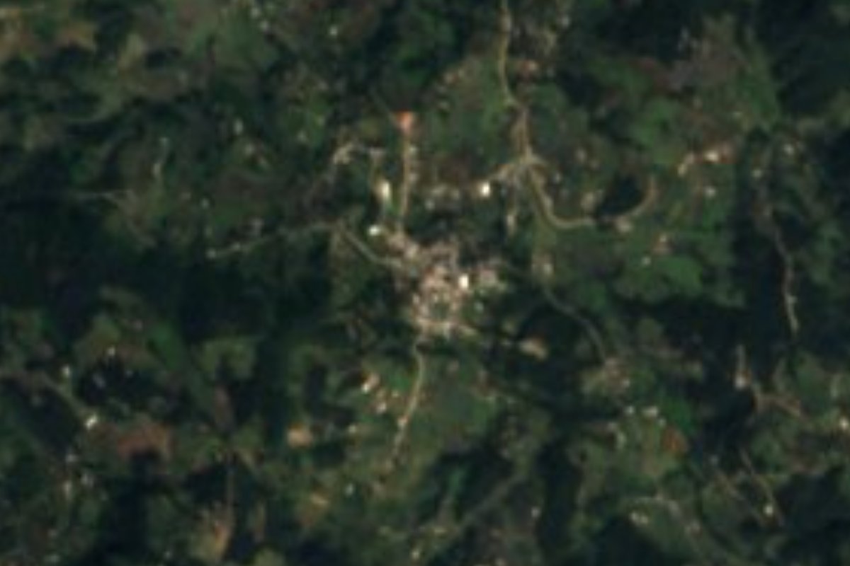
Village Zacapoaxtla, Puebla Municipality of Zacapoaxtla Sierra Norte de Puebla
Nahua village of Zacapoaxtla, "where avocados abound", at 2,075 m amid forest and mist, 11 km from town on the road to Tlatlauquitepec.
From Teziutlán: 40 min by car (37 km by road) How to get there ↓
Near here
See everything nearby ↓

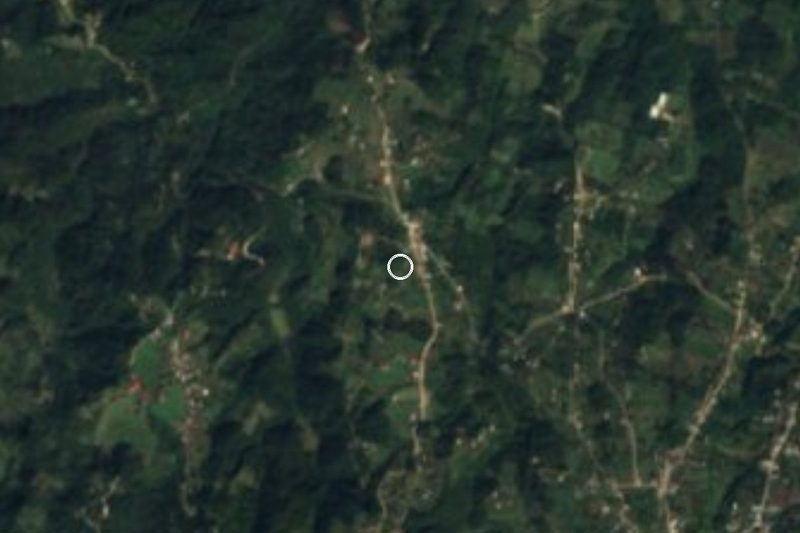
Plan your visit to Ahuacatlán
Where to stay near Ahuacatlán
Compare hotels, posadas and guest houses in Ahuacatlán.
Tours to Ahuacatlán
Day trips and guided outings from Tlatlauquitepec often include Ahuacatlán; with a local guide you can get there without a car.
How to get to Ahuacatlán
- From Teziutlán: about 40 min by road (~37 km)
- Nearest airport: Poza Rica (PAZ), 2 h 6 min by car to Tlatlauquitepec
Links open a partner site. We may earn a commission if you book, at no cost to you.
About Ahuacatlán
Three out of four people in Ahuacatlán identify as Indigenous, and four in ten speak a native language; across the municipality, Nahuatl is by far the most common. The name comes from ahuacatl and tlan and translates as "place where avocados abound". The 2020 census counted 1,512 people, 808 women and 704 men, somewhat fewer than the 1,873 recorded in 2005. Homes are spread at roughly 2,075 m, about 5 km in a straight line east of the town of Zacapoaxtla.
This is a land of near-constant rain. The annual mean is around 12.7 °C and rainfall is well above 2,000 mm, with more than 300 wet days a year, so mist is part of the scenery. One of the municipality's year-round rivers is itself called Ahuacatlán and flows alongside the Apulco, Huichautla, Hueyateno and Ochiatenco toward the Tecolutla basin. Almost half the municipal land is still forest and about a third is farmed. Zacapoaxtla covers some 177.5 km² of the Sierra Norte, between 900 and 2,800 m, bordering Cuetzalan, Nauzontla, Tlatlauquitepec, Zaragoza, Zautla, Xochiapulco and Xochitlán.
Daily life looks toward the municipal seat. The village has no registered lodging; for food, the nearest stalls and fondas are in Tatoxcac and central Zacapoaxtla, about 4 km away. There you can see the 16th-century parish of San Pedro Apóstol and the monument to the Zacapoaxtlas. Local crafts include embroidered shirts, palm chiquihuite baskets, decorated wax for patron-saint fiestas and palm-and-tinfoil arrangements for Saint Raymond's day. Highland cooking means tlacoyos, molotes, squash-blossom quesadillas and mole aguado, or chilpozonte, with sweets of fig, quince, coconut, gaznate, palanqueta and pepitoria. Mind the signal: in 2020 only 5% of homes had internet, though over 80% had a mobile phone.
How to get to Ahuacatlán
Drive from Teziutlán: 40 min, 37 km
From Puebla city it is about 137 km and roughly 2 hours by car: highway 150D, then 140D and 129D into the Sierra Norte. Ahuacatlán is 11 km (about 15 minutes) from Zacapoaxtla on the road to Tlatlauquitepec, and 14 km (about 20 minutes) from Tlatlauquitepec itself. By bus, Autobuses Vía leaves Puebla's CAPU for Tlatlauquitepec and Zaragoza with frequent departures (every 10 to 15 minutes, according to travel search sites) and takes about 2 h 10 to 2 h 20. We found no published combi timetable for the last stretch: ask in town or take a taxi. Drive carefully; fog is common.
Directions to Ahuacatlán on Google Maps
Distances are in a straight line; the road is usually longer.
Links open a partner site. We may earn a commission if you book, at no cost to you.
From the nearest cities to Ahuacatlán
- Teziutlán · 37 km by road, 40 min
- Huauchinango · about 80 km by road, ~1 h 10 min
- Poza Rica · about 95 km by road, ~1 h 25 min
Drive times by road from OpenStreetMap, without traffic or stops. Times marked ~ are estimated from the straight-line distance.
Visiting Ahuacatlán: what to see and do
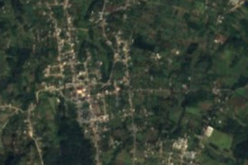
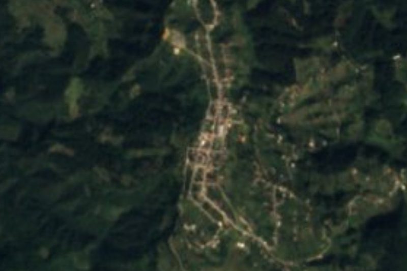
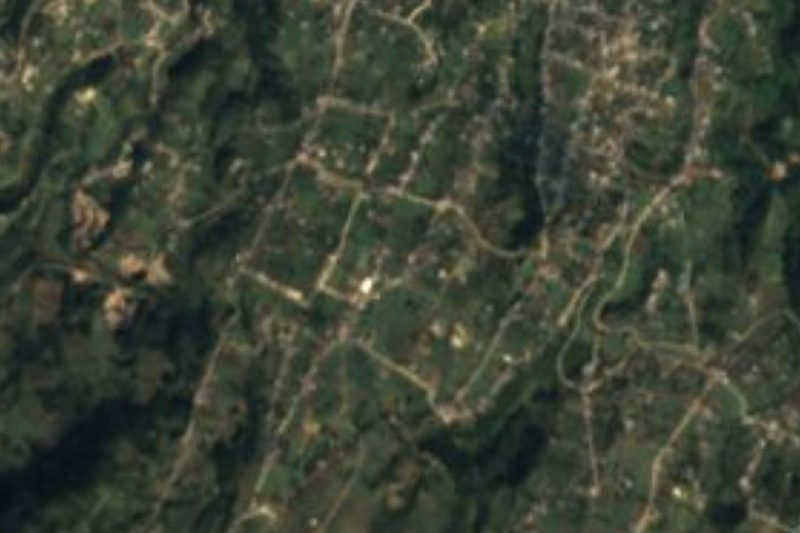
Ahuacatlán's houses amid cloud forest.
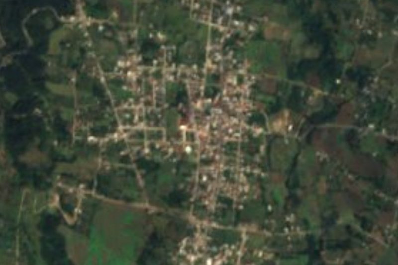
The Ahuacatlán river, one of the municipality's year-round streams.
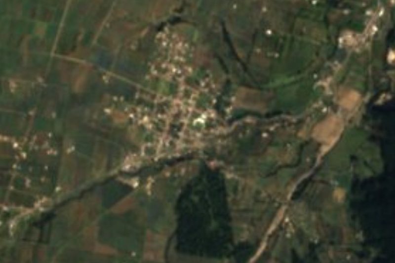
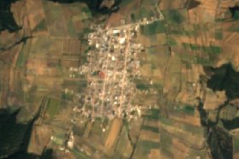
The 16th-century parish of San Pedro Apóstol and the Zacapoaxtlas monument in town.
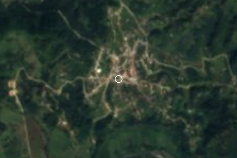
Tlatlauquitepec, a Pueblo Mágico, 14 km by road.
Plan your trip
Places to stay in Ahuacatlán
Compare hotels, posadas, and rentals in and around Ahuacatlán.
Tours & activities
Day trips and guided outings from Tlatlauquitepec often include Ahuacatlán; with a local guide you can get there without a car.
Rental cars
Pick up a car at PAZ (Poza Rica): about 2 h 6 min by road to Tlatlauquitepec, then 6 km more to Ahuacatlán, on your own schedule.
Flights
The nearest airport with scheduled flights is Poza Rica (PAZ), about 2 h 6 min by road from Tlatlauquitepec, the base for Ahuacatlán.
Mobile data
Signal can drop away from Tlatlauquitepec: download a map of the way to Ahuacatlán before you set out, or carry an eSIM with data.
Links open a partner site. We may earn a commission if you book, at no cost to you.
When to go to Ahuacatlán cool
Ahuacatlán shares the climate of Tlatlauquitepec, 6 km away. The best months to visit are February, March, April, and May.
See the month-by-month climate of Tlatlauquitepec
Weather in Ahuacatlán now and the next 7 days
Live forecast from Open-Meteo. Chance of rain is the day's highest.
The closest Pueblo Mágico: Tlatlauquitepec

Tlatlauquitepec is the Pueblo Mágico closest to Ahuacatlán, with places to stay, food, and more to see.
Also close to
- Cuetzalan · Puebla · 15 km away
- Teziutlán · Puebla · 20 km away
- Tetela de Ocampo · Puebla · 28 km away
- Zozocolco · Veracruz · 29 km away
- Zacatlán · Puebla · 44 km away
Closest to Ahuacatlán
-
Tatoxcac · Village · 3 km away
-
Zacapoaxtla · Town · 5 km away
-
Cascada de Puxtla · Waterfall · 7 km away
-
Yaonáhuac · Village · 8 km away
-
Ahuehuetes · Village · 9 km away
-
Teteles de Ávila Castillo · Village · 9 km away
-
Atempan · Town · 10 km away
-
Hueyapan · Town · 10 km away


Near Ahuacatlán







Drive times by road from OpenStreetMap, without traffic. Times marked ~ are estimated from the straight-line distance.
Location from OpenStreetMap. Written by Puebloteca.