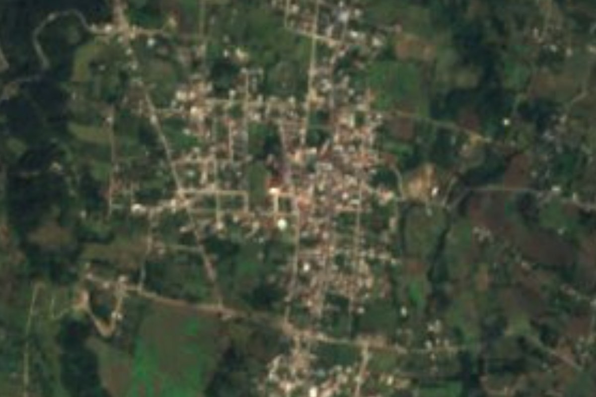
Village Teteles de Ávila Castillo, Puebla Sierra Norte de Puebla
Seat of Puebla's smallest municipality, in the highlands beside Tlatlauquitepec, with 23 pre-Hispanic mounds and a baroque church from 1736.
From Teziutlán: 20 min by car (19 km by road) How to get there ↓
Near here
See everything nearby ↓



Plan your visit to Teteles de Ávila Castillo
Where to stay near Teteles de Ávila Castillo
Compare hotels, posadas and guest houses in Teteles de Ávila Castillo.
Tours to Teteles de Ávila Castillo
Day trips and guided outings from Tlatlauquitepec often include Teteles de Ávila Castillo; with a local guide you can get there without a car.
How to get to Teteles de Ávila Castillo
- From Teziutlán: about 20 min by road (~19 km)
- Nearest airport: Poza Rica (PAZ), 2 h 6 min by car to Tlatlauquitepec
Links open a partner site. We may earn a commission if you book, at no cost to you.
About Teteles de Ávila Castillo
No municipality in Puebla is as small as Teteles: just 8.93 km², ranking 217th of 217 by area. Its seat, at about 1,860 m in the northeastern highlands and only 4 km from Tlatlauquitepec, had 5,156 residents in 2020. The name comes from the Nahuatl tetelti, "heap of stones", understood as a reference to the tomb of ancient lords. Its neighbours are few: Yaonáhuac and Hueyapan to the north, Chignautla to the east, Atempan to the south and Tlatlauquitepec to the west.
Those "heaps of stone" are real: the municipality holds 23 mounds that local tradition regards as deliberately buried pyramids. The legend says that around 1520 a noble named Olinteutle or Hueltoc arrived, sent by Cuauhtémoc, married Ixmicoatl, the chief's daughter, and lit bonfires on the hill of Tlatlauquitepec to signal to Nautla and Papantla. On hearing of the Spanish landing he supposedly had the city buried to save its riches; he ended up hiding in a cave at Xocayucan and died in a grotto at Mazatepec. Today much of the mound area is used for crops and cattle, and a group of residents runs the Tetelictic project to rescue the archaeological zone.
The climate is damp and cool, averaging 14 to 16 °C with 1,400 to 1,600 mm of rain and frequent cloud, which suits apples, pears, peaches, plums, capulín cherries, figs, walnuts and avocados. More than half the land is farmed, a third is built up and the rest is forest; streams drain to the Apulco River in the Tecolutla basin. In the centre stand the baroque church of the Virgen del Rosario from 1736, the town hall and a stone bust of Manuel Ávila Camacho; about 2 km away is the Xochihuista bridge. Local crafts include cabinetmaking and embroidered shawls and blouses, and the kitchen is known for mole serrano, mole de oro, chilpozontle, smoked chicken, mole tamales, capulín or fig preserves and a homemade fruit wine. Traditional music is played on violins, with corridos.
How to get to Teteles de Ávila Castillo
Drive from Teziutlán: 20 min, 19 km
Teteles lies about 120 km from Puebla city, on the way to Teziutlán along the road through Zaragoza and Tlatlauquitepec; from Tlatlauquitepec it is only 4 km. Xalapa is about 67 km away. Bus lines on the Puebla–Teziutlán route pass through the area, and local transport runs from Tlatlauquitepec.
Directions to Teteles de Ávila Castillo on Google Maps
Distances are in a straight line; the road is usually longer.
Links open a partner site. We may earn a commission if you book, at no cost to you.
From the nearest cities to Teteles de Ávila Castillo
- Teziutlán · 19 km by road, 20 min
- Martínez de la Torre · 71 km by road, 1 h 10 min
- Huauchinango · about 90 km by road, ~1 h 20 min
Drive times by road from OpenStreetMap, without traffic or stops. Times marked ~ are estimated from the straight-line distance.
Visiting Teteles de Ávila Castillo: what to see and do
The baroque church of the Virgen del Rosario (1736) and the town hall.
The stone bust of Manuel Ávila Camacho in the centre.
The 23 mounds of the Tetelictic site.
The Xochihuista bridge, about 2 km away.
Tlatlauquitepec and its hill, 4 km away.
Plan your trip
Places to stay in Teteles de Ávila Castillo
Compare hotels, posadas, and rentals in and around Teteles de Ávila Castillo.
Tours & activities
Day trips and guided outings from Tlatlauquitepec often include Teteles de Ávila Castillo; with a local guide you can get there without a car.
Rental cars
Pick up a car at PAZ (Poza Rica): about 2 h 6 min by road to Tlatlauquitepec, then 4 km more to Teteles de Ávila Castillo, on your own schedule.
Flights
The nearest airport with scheduled flights is Poza Rica (PAZ), about 2 h 6 min by road from Tlatlauquitepec, the base for Teteles de Ávila Castillo.
Mobile data
Signal can drop away from Tlatlauquitepec: download a map of the way to Teteles de Ávila Castillo before you set out, or carry an eSIM with data.
Links open a partner site. We may earn a commission if you book, at no cost to you.
When to go to Teteles de Ávila Castillo cool
Teteles de Ávila Castillo shares the climate of Tlatlauquitepec, 4 km away. The best months to visit are February, March, April, and May.
See the month-by-month climate of Tlatlauquitepec
Weather in Teteles de Ávila Castillo now and the next 7 days
Live forecast from Open-Meteo. Chance of rain is the day's highest.
The closest Pueblo Mágico: Tlatlauquitepec

Tlatlauquitepec is the Pueblo Mágico closest to Teteles de Ávila Castillo, with places to stay, food, and more to see.
Also close to
- Teziutlán · Puebla · 10 km away
- Cuetzalan · Puebla · 19 km away
- Zozocolco · Veracruz · 34 km away
- Tetela de Ocampo · Puebla · 37 km away
- Zacatlán · Puebla · 53 km away
Closest to Teteles de Ávila Castillo
-
Ahuehuetes · Village · 2 km away
-
Atempan · Town · 2 km away
-
Yaonáhuac · Village · 2 km away
-
Hueyapan · Town · 3 km away
-
Cascada de Puxtla · Waterfall · 4 km away
-
Tacopan · Village · 4 km away
-
Mexcalcuautla · Village · 7 km away
-
Coahuixco · Village · 8 km away
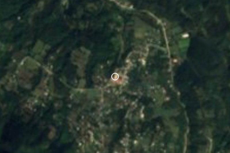

Near Teteles de Ávila Castillo





Drive times by road from OpenStreetMap, without traffic. Times marked ~ are estimated from the straight-line distance.
Location from OpenStreetMap. Written by Puebloteca.