Village Zacapoaxtla, Puebla Municipality of Zacapoaxtla Sierra Norte de Puebla
"Throat of stone" beside Zacapoaxtla: a narrow cave, an 18th-century sanctuary and men who fought on 5 May 1862.
From Teziutlán: 40 min by car (47 km by road) How to get there ↓
Near here
See everything nearby ↓

Plan your visit to Tatoxcac
Where to stay near Tatoxcac
Compare hotels, posadas and guest houses in Tatoxcac.
Tours to Tatoxcac
Day trips and guided outings from Tlatlauquitepec often include Tatoxcac; with a local guide you can get there without a car.
How to get to Tatoxcac
- From Teziutlán: about 40 min by road (~47 km)
- Nearest airport: Poza Rica (PAZ), 2 h 6 min by car to Tlatlauquitepec
Links open a partner site. We may earn a commission if you book, at no cost to you.
About Tatoxcac
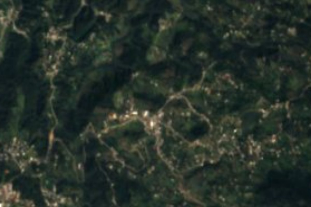
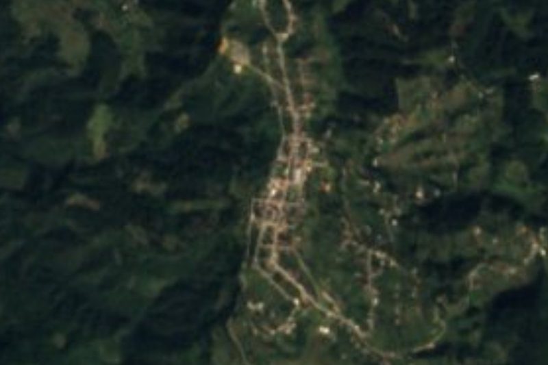
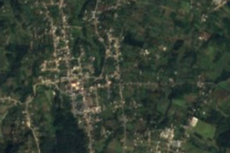
In the middle of the village there is a little cave so narrow you can only get in by crawling, and the name comes from it: Tetoxcac, from tet, stone, and toxcac, throat, so "throat of rock". Today it is spelled Tatoxcac and is an auxiliary board of Zacapoaxtla, deep in the Sierra Norte, about 8 km west of Tlatlauquitepec. The 2020 census counted 4,977 residents spread over ridges at around 1,900 metres. Its boundaries are barrios with Nahuatl names: Xaltetela to the north, Atacpan and Cuacuilco to the south, Tazecuala and Ahuacatlán to the east and Tezpilco to the west.
Local history holds two points of pride. The first is the sanctuary of the Señor del Triunfo, built between 1723 and 1748 and consecrated that last year, according to the confraternity papers in the parish archive. The second is military: while the town of Zacapoaxtla leaned toward the Empire, a handful of at least seven men from the barrio, led by Lieutenant Manuel Molina, marched with the 6th National Guard Battalion of Tetela de Ocampo and fought in the battle of 5 May 1862 at Puebla. They later defended the convent of San Agustín in April 1863, and Tatoxcac itself saw fighting in March and April 1865 and in July 1866. In 2003 the Puebla state congress voted unanimously to turn the old barrio into a pueblo and auxiliary board.
The landscape is broken highland, with deep ravines and streams running down to the Apulco, a tributary of the Tecolutla. The Hueyteco river rises on Cerro Tomaquilo, over 2,500 metres high, and springs are plentiful. Winter brings "chipi chipi", a fine drizzle, and thick banks of fog. In the municipality a third of the people speak Nahuatl; shirts are embroidered, palm chiquihuite baskets are woven and wax is worked for the festivals. Sierra cooking runs to tlacoyos, molotes and mole aguado, also called chilpozonte.
How to get to Tatoxcac
Drive from Teziutlán: 40 min, 47 km
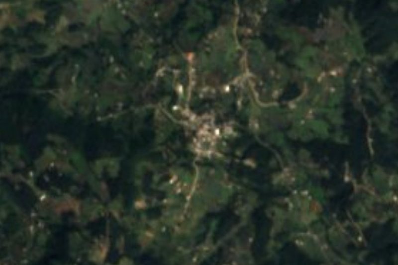
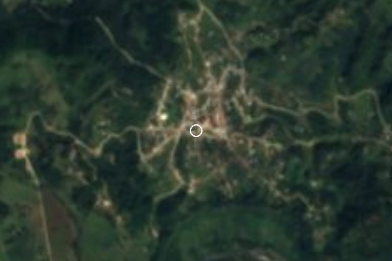
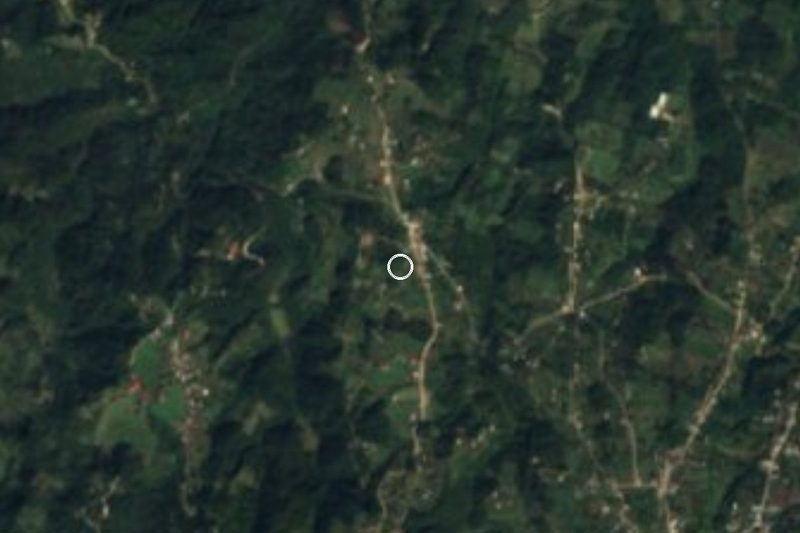
Tatoxcac sits practically on the eastern edge of Zacapoaxtla, about 114 km in a straight line from Puebla city and 8 km from Tlatlauquitepec. From Puebla, head up through Libres and Zaragoza into the Sierra Norte; local transport runs from Zacapoaxtla to its auxiliary boards. Drive carefully: fog is common.
Directions to Tatoxcac on Google Maps
Distances are in a straight line; the road is usually longer.
Links open a partner site. We may earn a commission if you book, at no cost to you.
From the nearest cities to Tatoxcac
- Teziutlán · 47 km by road, 40 min
- Huauchinango · about 80 km by road, ~1 h 10 min
- Huamantla · 97 km by road, 1 h 20 min
Drive times by road from OpenStreetMap, without traffic or stops. Times marked ~ are estimated from the straight-line distance.
Visiting Tatoxcac: what to see and do
The sanctuary of the Señor del Triunfo, consecrated in 1748.
The cave in the centre that named the village, the "throat of stone".
Cerro Tomaquilo, where the Hueyteco river rises, and the springs on the ridges.
The plaza of Zacapoaxtla, a couple of kilometres away, with its parish of San Pedro.
Plan your trip
Places to stay in Tatoxcac
Compare hotels, posadas, and rentals in and around Tatoxcac.
Tours & activities
Day trips and guided outings from Tlatlauquitepec often include Tatoxcac; with a local guide you can get there without a car.
Rental cars
Pick up a car at PAZ (Poza Rica): about 2 h 6 min by road to Tlatlauquitepec, then 8 km more to Tatoxcac, on your own schedule.
Flights
The nearest airport with scheduled flights is Poza Rica (PAZ), about 2 h 6 min by road from Tlatlauquitepec, the base for Tatoxcac.
Mobile data
Signal can drop away from Tlatlauquitepec: download a map of the way to Tatoxcac before you set out, or carry an eSIM with data.
Links open a partner site. We may earn a commission if you book, at no cost to you.
When to go to Tatoxcac cool
Tatoxcac shares the climate of Tlatlauquitepec, 8 km away. The best months to visit are February, March, April, and May.
See the month-by-month climate of Tlatlauquitepec
Weather in Tatoxcac now and the next 7 days
Live forecast from Open-Meteo. Chance of rain is the day's highest.
The closest Pueblo Mágico: Tlatlauquitepec

Tlatlauquitepec is the Pueblo Mágico closest to Tatoxcac, with places to stay, food, and more to see.
Also close to
- Cuetzalan · Puebla · 17 km away
- Teziutlán · Puebla · 23 km away
- Tetela de Ocampo · Puebla · 25 km away
- Zozocolco · Veracruz · 30 km away
- Zacatlán · Puebla · 41 km away
Closest to Tatoxcac
-
Zacapoaxtla · Town · 2 km away
-
Ahuacatlán · Village · 3 km away
-
Huahuaxtla · Village · 9 km away
-
Cascada de Puxtla · Waterfall · 10 km away
-
Cinco de Mayo · Village · 11 km away
-
Nauzontla · Village · 11 km away
-
Yaonáhuac · Village · 11 km away
-
Zaragoza · Town · 11 km away

Near Tatoxcac






Drive times by road from OpenStreetMap, without traffic. Times marked ~ are estimated from the straight-line distance.
Location from OpenStreetMap. Written by Puebloteca.