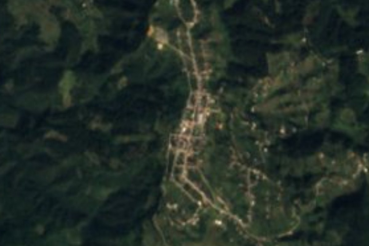
Village Xochiapulco, Puebla Sierra Norte de Puebla
Seat of Xochiapulco, the town named after the 1862 battle in honour of the 26 local men who fought in it.
From Teziutlán: 55 min by car (47 km by road) How to get there ↓
Near here
See everything nearby ↓


Plan your visit to Cinco de Mayo
Where to stay near Cinco de Mayo
Compare hotels, posadas and guest houses in Cinco de Mayo.
Tours to Cinco de Mayo
Day trips and guided outings from Tetela de Ocampo often include Cinco de Mayo; with a local guide you can get there without a car.
How to get to Cinco de Mayo
- From Teziutlán: about 55 min by road (~47 km)
- Nearest airport: Puebla (PBC), 2 h 8 min by car to Tetela de Ocampo
Links open a partner site. We may earn a commission if you book, at no cost to you.
About Cinco de Mayo
Few villages carry their history in their name like this one. Cinco de Mayo, the seat of Xochiapulco, was founded on 30 November 1855 on land of the old La Manzanilla hacienda and the Xochiapulco ranch, owned by the Salgado family of Zacapoaxtla. On 5 May 1862, 26 local men, the 6th "Única" Company of the Xochiapulco National Guard under Captain Juan Francisco Lucas, fought in the Battle of Puebla as part of the state's 6th National Guard Battalion. In 1864 Governor Fernando María Ortega legalised the land they had held since 1855, recognised the municipality and made the village a town under the name Cinco de Mayo.
Xochiapulco, "flower of the Apulco", is named for the river along the municipality's edge, one of the region's mightiest, and for a yellow-flowered herb that grew on the plateau east of the river, according to the story of the Chichimec migrants who arrived in the 12th century. After 1862 the Xochiapulco militia kept fighting on the liberal side against the Empire, and in 1870 the municipality moved from the Zacapoaxtla district to Tetela de Ocampo. At Tequextecoyan there are rocks carved with a human figure and concentric circles that have yet to be studied.
The town had 1,004 people in 2020 and stands at about 2,040 m. Almost three quarters of the municipality is forest, with a temperate, humid climate and heavy summer rain. The parish church of San Martín Caballero dates from the 16th century. Local music is played on violin and guitar, with pieces such as "Romance a Xochiapulco" and "Flor de Apulco", and people drink coffee, chocolate and yolixpa liqueur.
How to get to Cinco de Mayo
Drive from Teziutlán: 55 min, 47 km
Cinco de Mayo lies in the Sierra Norte, about 15 km from Tetela de Ocampo and close to Zacapoaxtla; by road it is about 192 km from Puebla city. Reach it via Zacapoaxtla or Tetela on mountain roads; buses run from the CAPU to both towns.
Directions to Cinco de Mayo on Google Maps
Distances are in a straight line; the road is usually longer.
Links open a partner site. We may earn a commission if you book, at no cost to you.
From the nearest cities to Cinco de Mayo
- Teziutlán · 47 km by road, 55 min
- Huauchinango · about 75 km by road, ~1 h 5 min
- Huamantla · 92 km by road, 1 h 30 min
Drive times by road from OpenStreetMap, without traffic or stops. Times marked ~ are estimated from the straight-line distance.
Visiting Cinco de Mayo: what to see and do
The town named after the Battle of Puebla.
The 16th-century parish church of San Martín Caballero.
The Apulco River and its forests.
Pair it with Tetela de Ocampo and Zacapoaxtla.
Plan your trip
Places to stay in Cinco de Mayo
Compare hotels, posadas, and rentals in and around Cinco de Mayo.
Tours & activities
Day trips and guided outings from Tetela de Ocampo often include Cinco de Mayo; with a local guide you can get there without a car.
Rental cars
Pick up a car at PBC (Puebla): about 2 h 8 min by road to Tetela de Ocampo, then 15 km more to Cinco de Mayo, on your own schedule.
Flights
The nearest airport with scheduled flights is Puebla (PBC), about 2 h 8 min by road from Tetela de Ocampo, the base for Cinco de Mayo.
Mobile data
Signal can drop away from Tetela de Ocampo: download a map of the way to Cinco de Mayo before you set out, or carry an eSIM with data.
Links open a partner site. We may earn a commission if you book, at no cost to you.
When to go to Cinco de Mayo cool
Cinco de Mayo shares the climate of Tetela de Ocampo, 15 km away. The best months to visit are January, February, March, and December.
See the month-by-month climate of Tetela de Ocampo
Weather in Cinco de Mayo now and the next 7 days
Live forecast from Open-Meteo. Chance of rain is the day's highest.
The closest Pueblo Mágico: Tetela de Ocampo

Tetela de Ocampo is the Pueblo Mágico closest to Cinco de Mayo, with places to stay, food, and more to see.
Also close to
- Tlatlauquitepec · Puebla · 17 km away
- Cuetzalan · Puebla · 26 km away
- Teziutlán · Puebla · 32 km away
- Zacatlán · Puebla · 34 km away
- Zozocolco · Veracruz · 37 km away
Closest to Cinco de Mayo
-
Grutas de Acocomoca · Cave · 7 km away
-
Zacapoaxtla · Town · 9 km away
-
Huahuaxtla · Village · 11 km away
-
Morelos · Village · 11 km away
-
Tatoxcac · Village · 11 km away
-
Zaragoza · Town · 12 km away
-
Ahuacatlán · Village · 14 km away
-
San Miguel Tenextatiloyan · Village · 14 km away
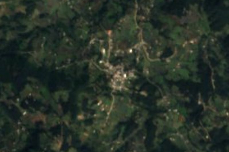

Near Cinco de Mayo





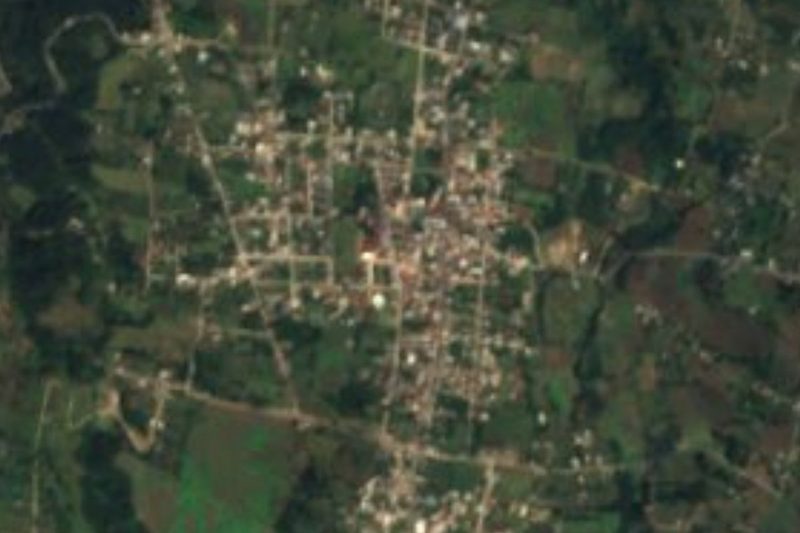


Drive times by road from OpenStreetMap, without traffic. Times marked ~ are estimated from the straight-line distance.
Location from OpenStreetMap. Written by Puebloteca.