
Village Atempan, Puebla Sierra Norte de Puebla
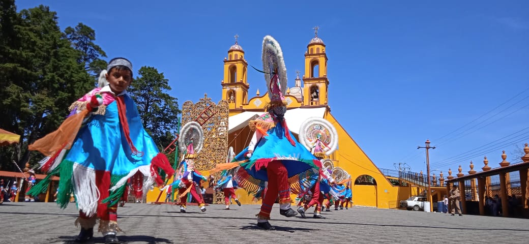
Village of Atempan, "on the jarilla shrubs", the municipality's largest place, with its own troupe of the Quetzal Dance.
From Teziutlán: 15 min by car (14 km by road) How to get there ↓
Near here
See everything nearby ↓



Plan your visit to Tacopan
Where to stay near Tacopan
Compare hotels, posadas and guest houses in Tacopan.
Tours to Tacopan
Day trips and guided outings from Tlatlauquitepec often include Tacopan; with a local guide you can get there without a car.
How to get to Tacopan
- From Teziutlán: about 15 min by road (~14 km)
- Nearest airport: Poza Rica (PAZ), 2 h 6 min by car to Tlatlauquitepec
Links open a partner site. We may earn a commission if you book, at no cost to you.
About Tacopan
In 2020, 5,251 people lived in Tacopan, more than in many municipal seats in the Sierra Norte. Its name comes from the Nahuatl tlacotl, jarilla, a local shrub, and pan, on: "on the jarillas". It sits at about 2,050 m on the slope between Atempan and Tlatlauquitepec, some 7 km away.
The photo shows Tacopan's Nueva Generación troupe performing the Quetzal Dance, the one with the great round, multicoloured headdresses. Atempan is one of the places where those quetzal crowns are made, along with embroidered shawls, woollens and carved wood. Before the Conquest there were Otomí and Totonac settlements here; the Aztec Triple Alliance subdued the area in the 15th century and the Spanish in 1522.
The municipality, barely 34 km², has a mild, humid climate with heavy summer rain and averages of 12 to 16 °C. Its volcanic soils grow apples, pears, avocados, plums, peaches, chayote, manzano chillies and the walnuts used in chiles en nogada. Atempan's Holy Week fair lasts more than a week, with pilgrimages to the Santo Entierro, sorbet with sponge fingers and turkey mole, and festivals feature firework bulls chased through the streets in the encamizadas.
How to get to Tacopan
Drive from Teziutlán: 15 min, 14 km
Tacopan lies in the municipality of Atempan in the Sierra Norte, about 7 km from Tlatlauquitepec and close to Teziutlán. From Puebla, take the Teziutlán road via Zaragoza; buses from the CAPU to Teziutlán and Tlatlauquitepec drop you nearby, with local transport for the last stretch.
Directions to Tacopan on Google Maps
Distances are in a straight line; the road is usually longer.
Links open a partner site. We may earn a commission if you book, at no cost to you.
From the nearest cities to Tacopan
- Teziutlán · 14 km by road, 15 min
- Martínez de la Torre · 66 km by road, 1 h 5 min
- Huauchinango · about 100 km by road, ~1 h 25 min
Drive times by road from OpenStreetMap, without traffic or stops. Times marked ~ are estimated from the straight-line distance.
Visiting Tacopan: what to see and do
The Quetzal Dance by Tacopan's troupes.
The Holy Week fair in Atempan.
Tlatlauquitepec, a Pueblo Mágico about 7 km away.
Plan your trip
Places to stay in Tacopan
Compare hotels, posadas, and rentals in and around Tacopan.
Tours & activities
Day trips and guided outings from Tlatlauquitepec often include Tacopan; with a local guide you can get there without a car.
Rental cars
Pick up a car at PAZ (Poza Rica): about 2 h 6 min by road to Tlatlauquitepec, then 7 km more to Tacopan, on your own schedule.
Flights
The nearest airport with scheduled flights is Poza Rica (PAZ), about 2 h 6 min by road from Tlatlauquitepec, the base for Tacopan.
Mobile data
Signal can drop away from Tlatlauquitepec: download a map of the way to Tacopan before you set out, or carry an eSIM with data.
Links open a partner site. We may earn a commission if you book, at no cost to you.
When to go to Tacopan cool
Tacopan shares the climate of Tlatlauquitepec, 7 km away. The best months to visit are February, March, April, and May.
See the month-by-month climate of Tlatlauquitepec
Weather in Tacopan now and the next 7 days
Live forecast from Open-Meteo. Chance of rain is the day's highest.
The closest Pueblo Mágico: Tlatlauquitepec

Tlatlauquitepec is the Pueblo Mágico closest to Tacopan, with places to stay, food, and more to see.
Also close to
- Teziutlán · Puebla · 8 km away
- Cuetzalan · Puebla · 22 km away
- Zozocolco · Veracruz · 38 km away
- Tetela de Ocampo · Puebla · 39 km away
- Zacatlán · Puebla · 56 km away
Closest to Tacopan
-
Atempan · Town · 3 km away
-
Coahuixco · Village · 4 km away
-
Teteles de Ávila Castillo · Village · 4 km away
-
Ahuehuetes · Village · 5 km away
-
Hueyapan · Town · 5 km away
-
Manantiales de Chignautla · Nature reserve · 5 km away
-
Mexcalcuautla · Village · 5 km away
-
Sosa · Village · 5 km away
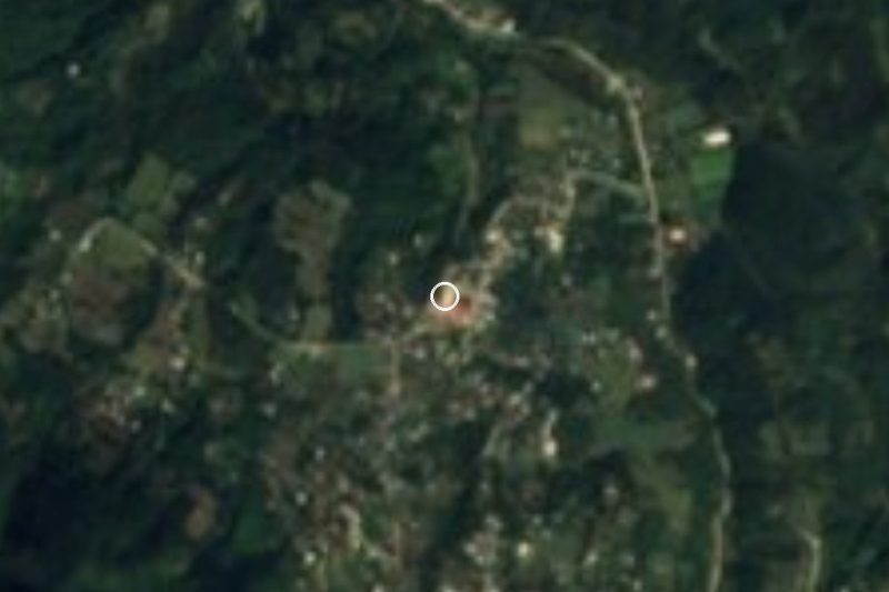
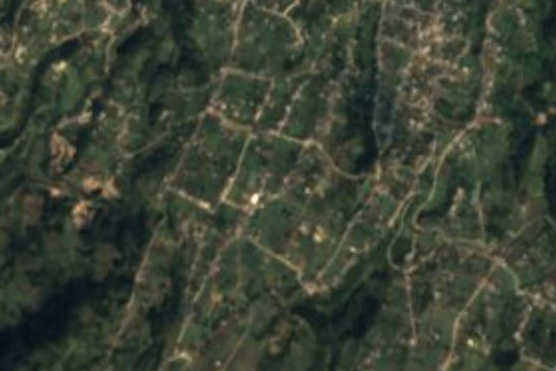
Near Tacopan

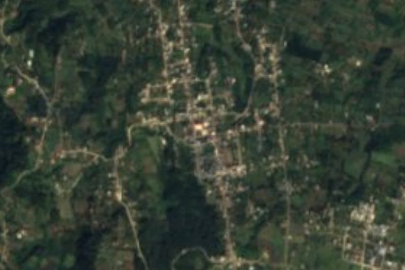
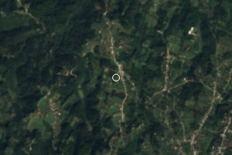


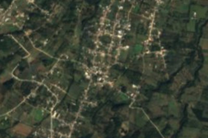


Drive times by road from OpenStreetMap, without traffic. Times marked ~ are estimated from the straight-line distance.
Location from OpenStreetMap. Written by Puebloteca.