Village Cuyoaco, Puebla
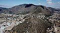
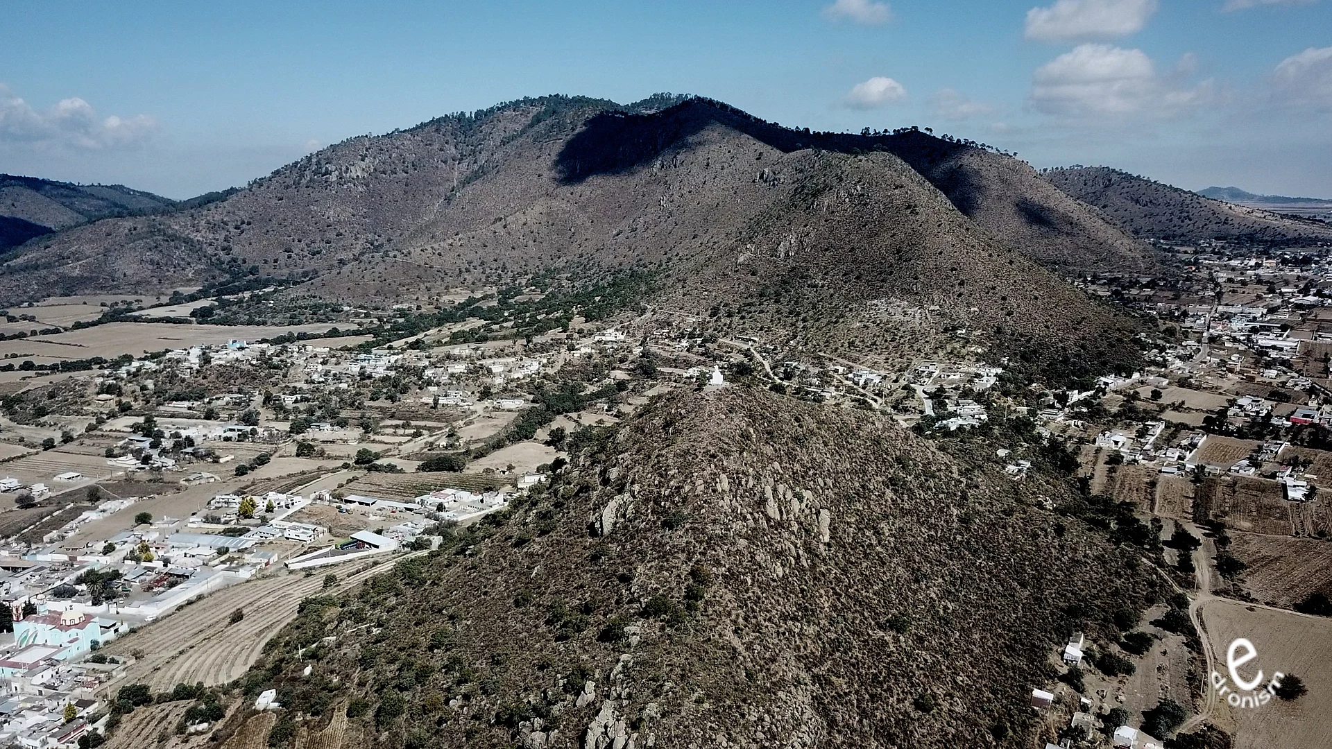
Seat of Cuyoaco on the Llanos de San Juan plain: a Nativity parish dating back to the 16th century and the Cristo Rey hill with its statue.
From Teziutlán: 35 min by car (48 km by road) How to get there ↓
Near here
See everything nearby ↓



Plan your visit to Cuyoaco
Where to stay near Cuyoaco
Compare hotels, posadas and guest houses in Cuyoaco.
Tours to Cuyoaco
Day trips and guided outings from Tetela de Ocampo often include Cuyoaco; with a local guide you can get there without a car.
How to get to Cuyoaco
- From Teziutlán: about 35 min by road (~48 km)
- Nearest airport: Puebla (PBC), 2 h 8 min by car to Tetela de Ocampo
Links open a partner site. We may earn a commission if you book, at no cost to you.
About Cuyoaco
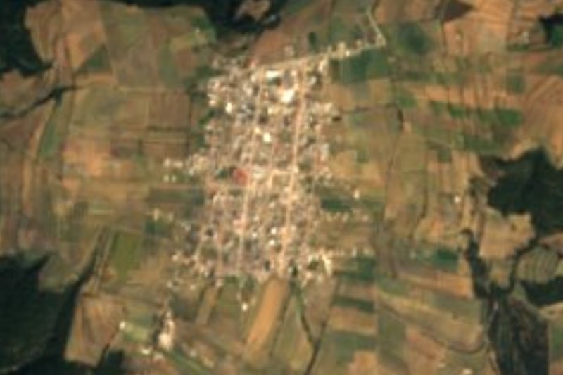
Cuyoaco lies where the Llanos de San Juan, a high basin with no outlet whose lowest point holds the Totolcingo lagoon, begins to climb toward the Sierra Norte. Flat farmland stretches south of town, while the hills to the north carry pine, fir and oak. The Nahuatl name is read as "hollow up high". The town had 1,906 residents in 2020.
Nahua people founded it before the Spanish conquest. By 1579 it was a corregimiento under San Juan de los Llanos, today's Libres, and in 1837 the departmental board of Puebla made Santa María Cuyoaco a municipality of the Los Llanos district. The church of Santa María de la Natividad goes back to the 16th century and became a parish on 17 June 1773. Francisco de Paula Verea, bishop of Linares and later of Tlaxcala (Puebla), died here in 1884.
Above the town rises Cerro de Cristo Rey, topped by a statue of Christ and home to what locals call the "giant's footprint" (pie de gigante). The biggest feast is 8 September for the Virgin of the Nativity, with negritos and huehues dances during the novena; 18 August honours the Virgen del Rayo, and on San Juan's day (24 June) people lay carpets of wild flowers outside their houses. Local food includes pit-roasted lamb barbacoa, mixiote and pulque.
How to get to Cuyoaco
Drive from Teziutlán: 35 min, 48 km
From Puebla it is about 100 km and 1 h 20 min by toll road: take the Puebla–Orizaba motorway (150D) until it links with the Xalapa motorway (140D), then the Puebla–Teziutlán motorway (129D) to the Libres area. From Libres it is about 19 km (20 minutes) north on federal highway 129 (Teziutlán–Acajete) to the Cuyoaco turn-off. Coming from the Pueblo Mágico of Tetela de Ocampo means roughly 97 km and an hour and a half through Zacapoaxtla (PUE-575) and the 129D. From Xalapa, about 100 km on the 140D.
Directions to Cuyoaco on Google Maps
Distances are in a straight line; the road is usually longer.
Links open a partner site. We may earn a commission if you book, at no cost to you.
From the nearest cities to Cuyoaco
- Teziutlán · 48 km by road, 35 min
- Huamantla · 57 km by road, 45 min
- Chiautempan · 97 km by road, 1 h 15 min
Drive times by road from OpenStreetMap, without traffic or stops. Times marked ~ are estimated from the straight-line distance.
Visiting Cuyoaco: what to see and do
The church of Santa María de la Natividad, dating back to the 16th century and a parish since 1773.
Cerro de Cristo Rey beside the town, with its statue of Christ and the spot called the giant's footprint.
Views over the Llanos de San Juan from the hilltop.
The feast of the Virgin of the Nativity on 8 September, with negritos and huehues dances.
Carpets of wild flowers outside houses on San Juan's day, 24 June.
Pit-roasted lamb barbacoa, mixiote and pulque.
Plan your trip
Places to stay in Cuyoaco
Compare hotels, posadas, and rentals in and around Cuyoaco.
Tours & activities
Day trips and guided outings from Tetela de Ocampo often include Cuyoaco; with a local guide you can get there without a car.
Rental cars
Pick up a car at PBC (Puebla): about 2 h 8 min by road to Tetela de Ocampo, then 30 km more to Cuyoaco, on your own schedule.
Flights
The nearest airport with scheduled flights is Puebla (PBC), about 2 h 8 min by road from Tetela de Ocampo, the base for Cuyoaco.
Mobile data
Signal can drop away from Tetela de Ocampo: download a map of the way to Cuyoaco before you set out, or carry an eSIM with data.
Links open a partner site. We may earn a commission if you book, at no cost to you.
When to go to Cuyoaco cool
Cuyoaco shares the climate of Tetela de Ocampo, 30 km away. The best months to visit are January, February, March, and December.
See the month-by-month climate of Tetela de Ocampo
Weather in Cuyoaco now and the next 7 days
Live forecast from Open-Meteo. Chance of rain is the day's highest.
The closest Pueblo Mágico: Tetela de Ocampo

Tetela de Ocampo is the Pueblo Mágico closest to Cuyoaco, with places to stay, food, and more to see.
Also close to
- Tlatlauquitepec · Puebla · 30 km away
- Teziutlán · Puebla · 39 km away
- Huamantla · Tlaxcala · 45 km away
- Cuetzalan · Puebla · 47 km away
- Chignahuapan · Puebla · 50 km away
Closest to Cuyoaco
-
Tlamanca · Village · 11 km away
-
San Miguel Tenextatiloyan · Village · 12 km away
-
Oyameles · Village · 14 km away
-
Cantona · Archaeological site · 15 km away
-
Libres · Town · 17 km away
-
Morelos · Village · 17 km away
-
San Miguel · Village · 17 km away
-
San Juan · Village · 18 km away

Near Cuyoaco


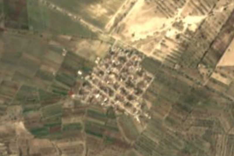

Drive times by road from OpenStreetMap, without traffic. Times marked ~ are estimated from the straight-line distance.
Location from OpenStreetMap. Written by Puebloteca.