Village Zautla, Puebla Sierra Norte de Puebla
Village of Zautla, "on the flattened ground", in the north-eastern sierra, in a municipality with a pottery tradition and a name about spinning.
From Teziutlán: 1 h by car (60 km by road) How to get there ↓
Near here
See everything nearby ↓


Plan your visit to Tlamanca
Where to stay near Tlamanca
Compare hotels, posadas and guest houses in Tlamanca.
Tours to Tlamanca
Day trips and guided outings from Tetela de Ocampo often include Tlamanca; with a local guide you can get there without a car.
 Tours from Puebla City
Africam Safari Zoo Admission with Transportation
★ 4.8 (87) · From US$35
How to get to Tlamanca
- From Teziutlán: about 1 h by road (~60 km)
- Nearest airport: Puebla (PBC), 2 h 8 min by car to Tetela de Ocampo
Links open a partner site. We may earn a commission if you book, at no cost to you.
Tours from Puebla City, near Tlamanca


Tours, prices and ratings from Viator, checked weekly. We may earn a commission if you book.
About Tlamanca
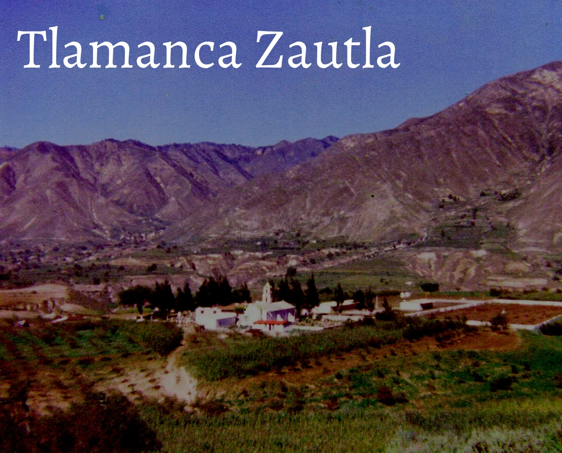
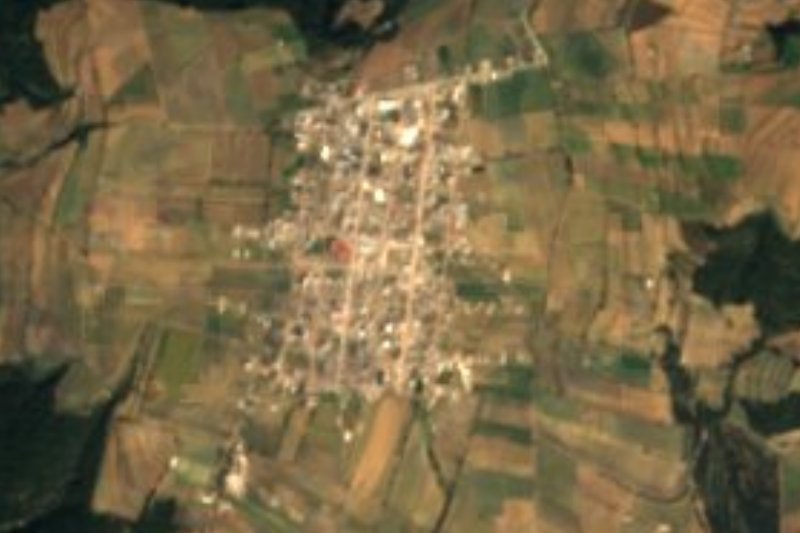
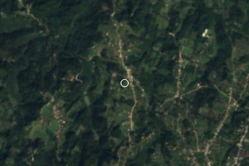
Tlamanca comes from tlamantli, flattened ground, and can, place: "on the flattened ground". It is a village of 1,184 people (2020) in the municipality of Zautla, at about 1,990 m in Puebla's north-eastern sierra, some 19 km from Tetela de Ocampo. The photo, from 1980, shows how it looked then.
Zautla, from tzáhuitl, to spin, and tlan, place, is the "place of spinners or weavers". Before the Conquest it was home to Totonac and Otomí people who paid tribute to Texcoco, and tradition tells of a chief named Zautic who worked gold and silver mines that vanished when the Spanish arrived. In the auxiliary town of San Miguel Tenextatiloyan, clay pots have been made since those days. The municipality belonged to the San Juan de los Llanos district and has been a free municipality since 1895.
It covers about 274 km² and drops from over 2,900 m on Cerro Xantel to under 1,200 m in the valley of the Apulco River, which carries its waters to the Tecolutla and the Gulf. The climate is temperate, wetter toward the north, and almost two thirds of the land is forest. More than 6,000 people speak Nahuatl or other indigenous languages. People make pottery, ceramics, rope goods and palm and wool weavings; on the table are mole, pipián, chileatole and tamales, with pulque and chocolate. The parish church of Santiago in the seat dates from the 16th century.
How to get to Tlamanca
Drive from Teziutlán: 1 h, 60 km
Tlamanca lies in the municipality of Zautla, about 89 km in a straight line from Puebla city and 19 km from Tetela de Ocampo. Take the road from Puebla toward Zaragoza and Zacapoaxtla, then mountain roads from the Zautla area.
Directions to Tlamanca on Google Maps
Distances are in a straight line; the road is usually longer.
Links open a partner site. We may earn a commission if you book, at no cost to you.
From the nearest cities to Tlamanca
- Teziutlán · 60 km by road, 1 h
- Huamantla · 79 km by road, 1 h 15 min
- Huauchinango · about 85 km by road, ~1 h 15 min
Drive times by road from OpenStreetMap, without traffic or stops. Times marked ~ are estimated from the straight-line distance.
Visiting Tlamanca: what to see and do
The pottery of San Miguel Tenextatiloyan.
The Apulco River valley.
Tetela de Ocampo, about 19 km away.
Plan your trip
Places to stay in Tlamanca
Compare hotels, posadas, and rentals in and around Tlamanca.
Tours & activities
Day trips and guided outings from Tetela de Ocampo often include Tlamanca; with a local guide you can get there without a car.
Rental cars
Pick up a car at PBC (Puebla): about 2 h 8 min by road to Tetela de Ocampo, then 19 km more to Tlamanca, on your own schedule.
Flights
The nearest airport with scheduled flights is Puebla (PBC), about 2 h 8 min by road from Tetela de Ocampo, the base for Tlamanca.
Mobile data
Signal can drop away from Tetela de Ocampo: download a map of the way to Tlamanca before you set out, or carry an eSIM with data.
Links open a partner site. We may earn a commission if you book, at no cost to you.
When to go to Tlamanca cool
Tlamanca shares the climate of Tetela de Ocampo, 19 km away. The best months to visit are January, February, March, and December.
See the month-by-month climate of Tetela de Ocampo
Weather in Tlamanca now and the next 7 days
Live forecast from Open-Meteo. Chance of rain is the day's highest.
The closest Pueblo Mágico: Tetela de Ocampo

Tetela de Ocampo is the Pueblo Mágico closest to Tlamanca, with places to stay, food, and more to see.
Also close to
- Tlatlauquitepec · Puebla · 29 km away
- Chignahuapan · Puebla · 39 km away
- Zacatlán · Puebla · 40 km away
- Teziutlán · Puebla · 41 km away
- Cuetzalan · Puebla · 42 km away
Closest to Tlamanca
-
Cuyoaco · Village · 11 km away
-
San Miguel Tenextatiloyan · Village · 11 km away
-
Ixtacamaxtitlán · Village · 14 km away
-
Morelos · Village · 15 km away
-
Cinco de Mayo · Village · 17 km away
-
Oyameles · Village · 17 km away
-
La Cañada · Town · 18 km away
-
Zaragoza · Town · 18 km away

Near Tlamanca




Drive times by road from OpenStreetMap, without traffic. Times marked ~ are estimated from the straight-line distance.
Location from OpenStreetMap. Written by Puebloteca.