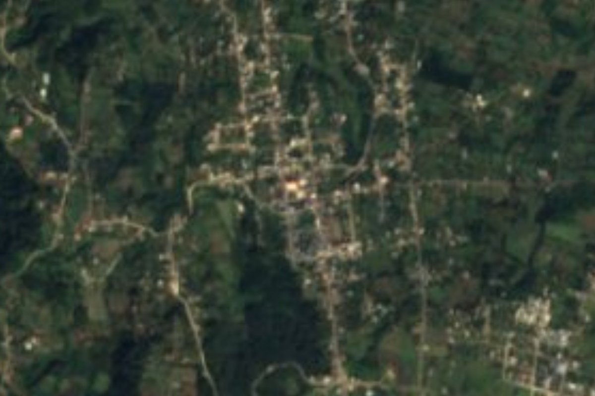
Village Yaonáhuac, Puebla Municipality of Yaonáhuac Sierra Norte de Puebla
Nahua municipal seat in the north-eastern sierra next to Tlatlauquitepec, with a Friday market and a Santiago Apóstol feast every 25 July.
From Teziutlán: 20 min by car (21 km by road) How to get there ↓
Near here
See everything nearby ↓



Plan your visit to Yaonáhuac
Where to stay near Yaonáhuac
Compare hotels, posadas and guest houses in Yaonáhuac.
Tours to Yaonáhuac
Day trips and guided outings from Tlatlauquitepec often include Yaonáhuac; with a local guide you can get there without a car.
How to get to Yaonáhuac
- From Teziutlán: about 20 min by road (~21 km)
- Nearest airport: Poza Rica (PAZ), 2 h 6 min by car to Tlatlauquitepec
Links open a partner site. We may earn a commission if you book, at no cost to you.
About Yaonáhuac
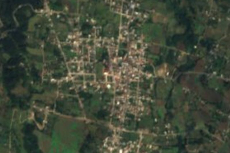
On Fridays Yaonáhuac fills up: that is its turn for the market that rotates among the sierra towns, and the stalls join the seat's handful of shops. The town holds half the municipality's people, 3,968 of its 7,926 residents in 2020, the latter spread over 16 localities, and it sits at about 1,790 m in the north-eastern sierra, just 4 km from Tlatlauquitepec and 68 km in a straight line from Xalapa. Most residents are Nahua: in the municipality more than 3,200 people speak an indigenous language, nearly always Nahuatl.
The town's saint is Santiago Apóstol. Tradition dates his arrival in the area to 21 July 1531, at the hamlet of Ayohualol, today's Tepanzol, and his church in the seat is a 16th-century building. On 25 July he is honoured with masses, processions, dances, fireworks, a jaripeo and brass bands. On 30 and 31 May there are prayers to the Virgin of the Pillar, and at the Day of the Dead the offerings are covered in flowers; you can still see women in long black skirts and rebozos and men in white trousers, jorongo blankets and palm hats. The settlement was made a town in 1560 under the Tlatlauquitepec district and has been a municipality since 1895.
The ground is broken: to the south a flatter strip slopes down from north to south, and in the north rise isolated hills such as Caxtomaquimatépetl and Portezuelo. The Atexcaco runs more than 7 km through the middle before meeting the Apulco, and the Ajocotzingo and Xucayucan also cross it, all heading for the Gulf. The heights carry pine-oak and cloud forest, with cedar and sweetgum in the milder parts, home to opossums, squirrels, rabbits and armadillos. Farmers grow maize and coffee, with orchards of pear, apple, plum, peach, avocado, orange, banana and lemon. In town there are textile workshops, blacksmiths, nixtamal mills and tortilla shops.
How to get to Yaonáhuac
Drive from Teziutlán: 20 min, 21 km
Autobuses Vía leaves Puebla's CAPU for Tlatlauquitepec every 15 minutes; the ride takes about 2 h 20 min and covers about 133 km by road. Tlatlauquitepec is 4 km away, linked by a branch of Federal Highway 129 that runs through the town. Passenger vans also leave Teteles de Ávila Castillo every half hour, and shared taxis operate.
Directions to Yaonáhuac on Google Maps
Distances are in a straight line; the road is usually longer.
Links open a partner site. We may earn a commission if you book, at no cost to you.
From the nearest cities to Yaonáhuac
- Teziutlán · 21 km by road, 20 min
- Martínez de la Torre · 74 km by road, 1 h 10 min
- Huauchinango · about 90 km by road, ~1 h 20 min
Drive times by road from OpenStreetMap, without traffic or stops. Times marked ~ are estimated from the straight-line distance.
Visiting Yaonáhuac: what to see and do
The 16th-century church of Santiago Apóstol and its 25 July feast.
The Friday market.
Prayers to the Virgin of the Pillar on 30 and 31 May.
The Caxtomaquimatépetl and Portezuelo hills to the north.
The neighbourhood and locality of Ahuehuetes, right next to the seat.
Plan your trip
Places to stay in Yaonáhuac
Compare hotels, posadas, and rentals in and around Yaonáhuac.
Tours & activities
Day trips and guided outings from Tlatlauquitepec often include Yaonáhuac; with a local guide you can get there without a car.
Rental cars
Pick up a car at PAZ (Poza Rica): about 2 h 6 min by road to Tlatlauquitepec, then 4 km more to Yaonáhuac, on your own schedule.
Flights
The nearest airport with scheduled flights is Poza Rica (PAZ), about 2 h 6 min by road from Tlatlauquitepec, the base for Yaonáhuac.
Mobile data
Signal can drop away from Tlatlauquitepec: download a map of the way to Yaonáhuac before you set out, or carry an eSIM with data.
Links open a partner site. We may earn a commission if you book, at no cost to you.
When to go to Yaonáhuac cool
Yaonáhuac shares the climate of Tlatlauquitepec, 4 km away. The best months to visit are February, March, April, and May.
See the month-by-month climate of Tlatlauquitepec
Weather in Yaonáhuac now and the next 7 days
Live forecast from Open-Meteo. Chance of rain is the day's highest.
The closest Pueblo Mágico: Tlatlauquitepec

Tlatlauquitepec is the Pueblo Mágico closest to Yaonáhuac, with places to stay, food, and more to see.
Also close to
- Teziutlán · Puebla · 11 km away
- Cuetzalan · Puebla · 17 km away
- Zozocolco · Veracruz · 33 km away
- Tetela de Ocampo · Puebla · 36 km away
- Zacatlán · Puebla · 52 km away
Closest to Yaonáhuac
-
Ahuehuetes · Village · 0 km away
-
Cascada de Puxtla · Waterfall · 2 km away
-
Hueyapan · Town · 2 km away
-
Teteles de Ávila Castillo · Village · 2 km away
-
Atempan · Town · 4 km away
-
Tacopan · Village · 5 km away
-
Ahuacatlán · Village · 8 km away
-
Mexcalcuautla · Village · 8 km away
Near Yaonáhuac






Drive times by road from OpenStreetMap, without traffic. Times marked ~ are estimated from the straight-line distance.
Location from OpenStreetMap. Written by Puebloteca.