

Village Chignautla, Puebla Municipality of Chignautla Sierra Norte de Puebla
Highland village of Chignautla, 2.5 km from the seat and 8 km from Teziutlán, between misty forest and the old Los Humeros volcanic caldera.
From Teziutlán: 10 min by car (9 km by road) How to get there ↓
Near here
See everything nearby ↓



Plan your visit to Coahuixco
Where to stay near Coahuixco
Compare hotels, posadas and guest houses in Coahuixco.
Tours to Coahuixco
Day trips and guided outings from Teziutlán often include Coahuixco; with a local guide you can get there without a car.
How to get to Coahuixco
- From Teziutlán: about 10 min by road (~9 km)
- Nearest airport: Poza Rica (PAZ), 2 h 14 min by car to Teziutlán
Links open a partner site. We may earn a commission if you book, at no cost to you.
About Coahuixco
In the south of Coahuixco's municipality the range peaks at Cerro Hilillo, about 3,100 metres, and Cerro Arenas, 3,000, which appear to be part of the rim of the Los Humeros caldera: a volcano with a crater 15 to 21 km across whose last eruption was some 20,000 years ago and which still vents a little steam and leaves sulphur deposits. Those summits are the regional watershed: on one side water flows toward the Gulf through the Apulco and Joloapan; on the other it drains onto the Llanos de San Juan toward Lake Totolzingo. The photo shows Cerro de Chignautla, the municipality's other big mountain mass, cloaked in forest and often in cloud.
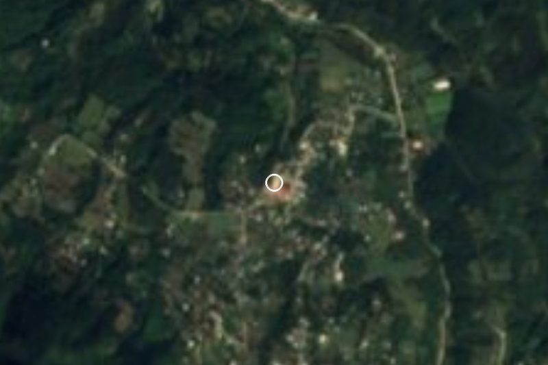
Coahuixco lies about 2.5 km west of Chignautla, the municipal seat, and some 8 km from Teziutlán, inside the metropolitan area the two municipalities form. It sits at 2,141 metres and had 3,127 residents in 2020, about 560 more than in 2010; most are Catholic and around four hundred are Protestant. Its name is explained by cuauitl, tree, and ixtli, surface or face: "above the trees" or "on the wooded surface", and the landscape lives up to it, since nearly four in ten hectares of the municipality are forest and as much again grassland; only an eighth is farmed.
The climate is cool and wet, averaging 13 to 15 °C with 600 to 1,600 mm of rain depending on the slope; some corners get rain all year. The Caja de Agua and Ateta streams feed the Joloapan, and the Viga Ancha joins the Apulco. Chignautla, "place of the nine rivers", has a 16th-century church of San Mateo at its seat. More than three thousand people in the municipality speak an Indigenous language, mostly Nahuatl. Craftspeople carve wood; at the table there is smoked chicken, mole poblano, pipián and tamales, fruit preserves, coffee, chocolate and fruit wine, and festivals are played with wind bands.
How to get to Coahuixco
Drive from Teziutlán: 10 min, 9 km
Coahuixco is 8 km from Teziutlán and about 119 km in a straight line from Puebla city (some 145 km by road to Teziutlán). Autobuses Vía leaves the CAPU for Teziutlán roughly every 15 minutes, a ride of about 2 h 40 min, and ADO runs the same route less often. We found no published timetable for the last leg: from Teziutlán continue by local transport or taxi to Chignautla; Coahuixco is 2.5 km farther west.
Directions to Coahuixco on Google Maps
Distances are in a straight line; the road is usually longer.
Links open a partner site. We may earn a commission if you book, at no cost to you.
From the nearest cities to Coahuixco
- Teziutlán · 9 km by road, 10 min
- Martínez de la Torre · 61 km by road, 1 h
- Huamantla · 104 km by road, 1 h 15 min
Drive times by road from OpenStreetMap, without traffic or stops. Times marked ~ are estimated from the straight-line distance.
Visiting Coahuixco: what to see and do
Cerro de Chignautla and its forest, visible from the valley.
Cerros Hilillo and Arenas, rim of the Los Humeros caldera.
The 16th-century church of San Mateo in the seat, 2.5 km away.
Plan your trip
Places to stay in Coahuixco
Compare hotels, posadas, and rentals in and around Coahuixco.
Tours & activities
Day trips and guided outings from Teziutlán often include Coahuixco; with a local guide you can get there without a car.
Rental cars
Pick up a car at PAZ (Poza Rica): about 2 h 14 min by road to Teziutlán, then 8 km more to Coahuixco, on your own schedule.
Flights
The nearest airport with scheduled flights is Poza Rica (PAZ), about 2 h 14 min by road from Teziutlán, the base for Coahuixco.
Mobile data
Signal can drop away from Teziutlán: download a map of the way to Coahuixco before you set out, or carry an eSIM with data.
Links open a partner site. We may earn a commission if you book, at no cost to you.
When to go to Coahuixco cool
Coahuixco shares the climate of Teziutlán, 8 km away. The best months to visit are February, March, April, and November.
See the month-by-month climate of Teziutlán
Weather in Coahuixco now and the next 7 days
Live forecast from Open-Meteo. Chance of rain is the day's highest.
The closest Pueblo Mágico: Teziutlán

Teziutlán is the Pueblo Mágico closest to Coahuixco, with places to stay, food, and more to see.
Also close to
- Tlatlauquitepec · Puebla · 10 km away
- Cuetzalan · Puebla · 26 km away
- Tetela de Ocampo · Puebla · 41 km away
- Zozocolco · Veracruz · 42 km away
- Naolinco · Veracruz · 59 km away
Closest to Coahuixco
-
Sosa · Village · 2 km away
-
Manantiales de Chignautla · Nature reserve · 3 km away
-
Tacopan · Village · 4 km away
-
Atempan · Town · 6 km away
-
Mexcalcuautla · Village · 7 km away
-
San José · Village · 8 km away
-
Teteles de Ávila Castillo · Village · 8 km away
-
Ahuehuetes · Village · 9 km away
Near Coahuixco







Drive times by road from OpenStreetMap, without traffic. Times marked ~ are estimated from the straight-line distance.
Location from OpenStreetMap. Written by Puebloteca.