

Village Xiutetelco, Puebla Municipality of Xiutetelco Sierra Norte de Puebla
Xiutetelco village 6 km from Teziutlán, living off farming, garment assembly work and fireworks, including the pyrotechnic bulls called toritos.
From Teziutlán: 10 min by car (8 km by road) How to get there ↓
Near here
See everything nearby ↓
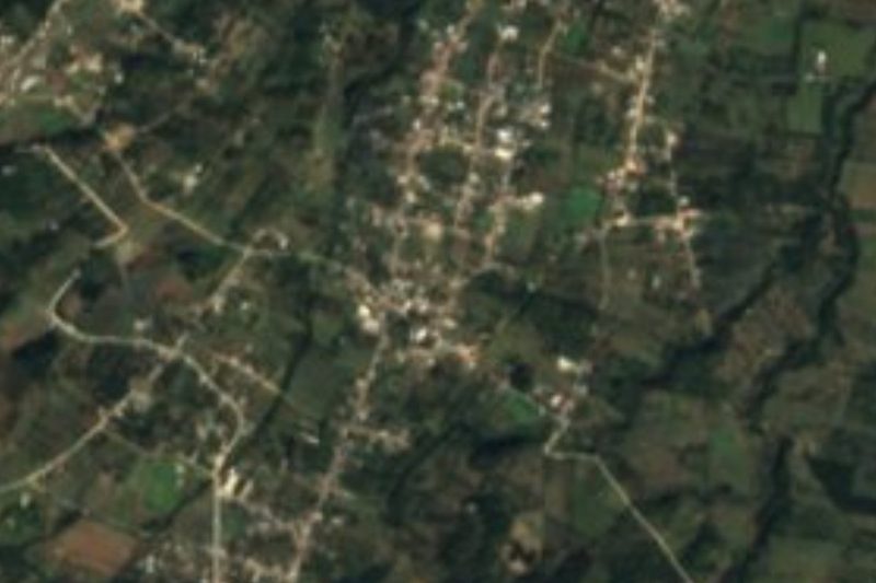

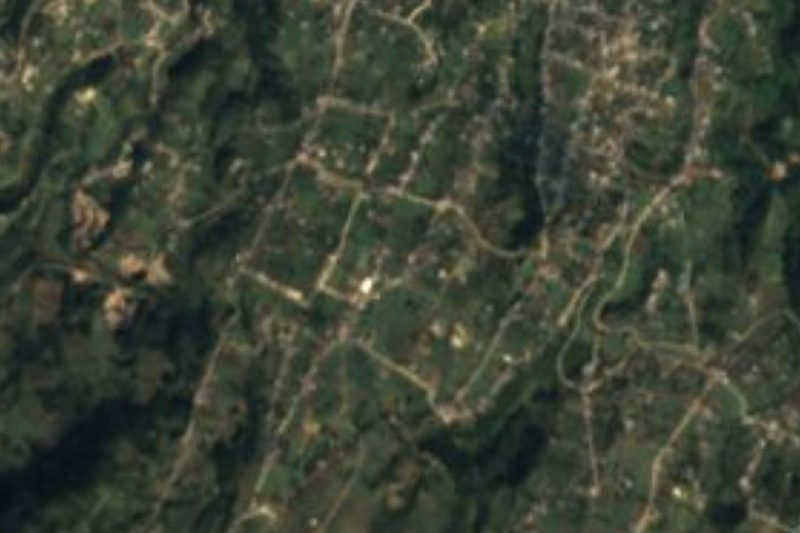

Plan your visit to San José
Where to stay near San José
Compare hotels, posadas and guest houses in San José.
Tours to San José
Day trips and guided outings from Teziutlán often include San José; with a local guide you can get there without a car.
How to get to San José
- From Teziutlán: about 10 min by road (~8 km)
- Nearest airport: Poza Rica (PAZ), 2 h 14 min by car to Teziutlán
Links open a partner site. We may earn a commission if you book, at no cost to you.
About San José
Gunpowder, garment work and the cornfield: those three things are how much of Xiutetelco makes a living, and San José, with 2,016 residents in 2020, is one of its larger villages. It sits at 1,921 metres in the northeastern highlands of Puebla, just 6 km from Teziutlán and about 53 km from Xalapa; the state capital is some 125 km away. Its patron is Joseph of Nazareth, the carpenter. The photo shows pyrotechnic toritos from the municipality, bull-shaped frames loaded with rockets and set alight at fiestas.
The main income still comes from the land, but many working-age people travel down to Teziutlán every day to sew clothes in the assembly plants, and making fireworks is another very common source of money in the municipality. Brass bands play at the festivals. Local cooking includes mole poblano, pipián tamales, smoked chicken and pressed chicharrón, fruit preserves, and to drink there is coffee, chocolate, atole and fruit wines. The municipality is also home to 328 speakers of Indigenous languages, mainly Nahuatl and Totonac.
The municipality's political history has a building at its centre. Around 1780, when the seat had about 30 houses, residents met in a home near the present town hall site; Eleodoro Pérez donated the land and a hall was built with carved stone columns and floors, a tiled roof and seven arches across the front, a job that took a year and a half. In 1958, under municipal president Rufino Martínez Navel and with help from governor Faustino M. Ortega, the facade was rebuilt and the tiles replaced with a concrete slab; between 1978 and 1981, under Bernardo Matus Morales, it was enlarged and two more arches were added.
How to get to San José
Drive from Teziutlán: 10 min, 8 km
San José is about 6 km from Teziutlán, the region's main city, and 125 km from Puebla as the crow flies; Xalapa, in Veracruz, is roughly 53 km away. Buses run from Puebla's CAPU terminal to Teziutlán, and local transport continues from there to the villages of Xiutetelco.
Directions to San José on Google Maps
Distances are in a straight line; the road is usually longer.
Links open a partner site. We may earn a commission if you book, at no cost to you.
From the nearest cities to San José
- Teziutlán · 8 km by road, 10 min
- Martínez de la Torre · 58 km by road, 1 h
- Xalapa · 79 km by road, 1 h 10 min
Drive times by road from OpenStreetMap, without traffic or stops. Times marked ~ are estimated from the straight-line distance.
Visiting San José: what to see and do
If your visit falls on a fiesta, the burning of toritos and castillos made by local fireworks makers, with a brass band. In the nearby municipal seat, the town hall with its stone arches and the 17th-century parish church of San Juan Bautista.
Plan your trip
Places to stay in San José
Compare hotels, posadas, and rentals in and around San José.
Tours & activities
Day trips and guided outings from Teziutlán often include San José; with a local guide you can get there without a car.
Rental cars
Pick up a car at PAZ (Poza Rica): about 2 h 14 min by road to Teziutlán, then 6 km more to San José, on your own schedule.
Flights
The nearest airport with scheduled flights is Poza Rica (PAZ), about 2 h 14 min by road from Teziutlán, the base for San José.
Mobile data
Signal can drop away from Teziutlán: download a map of the way to San José before you set out, or carry an eSIM with data.
Links open a partner site. We may earn a commission if you book, at no cost to you.
When to go to San José cool
San José shares the climate of Teziutlán, 6 km away. The best months to visit are February, March, April, and November.
See the month-by-month climate of Teziutlán
Weather in San José now and the next 7 days
Live forecast from Open-Meteo. Chance of rain is the day's highest.
The closest Pueblo Mágico: Teziutlán

Teziutlán is the Pueblo Mágico closest to San José, with places to stay, food, and more to see.
Also close to
- Tlatlauquitepec · Puebla · 18 km away
- Cuetzalan · Puebla · 31 km away
- Zozocolco · Veracruz · 46 km away
- Tetela de Ocampo · Puebla · 49 km away
- Naolinco · Veracruz · 51 km away
Closest to San José
-
San Juan Xiutetelco · Archaeological site · 1 km away
-
Santiago · Village · 1 km away
-
San Francisco · Village · 3 km away
-
Manantiales de Chignautla · Nature reserve · 6 km away
-
Sosa · Village · 7 km away
-
Coahuixco · Village · 8 km away
-
Mexcalcuautla · Village · 9 km away
-
Pancho Poza · Waterfall · 11 km away
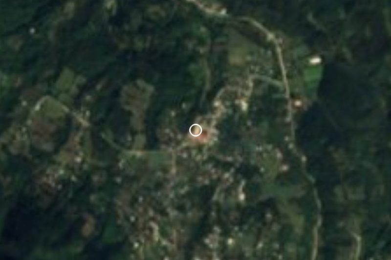

Near San José


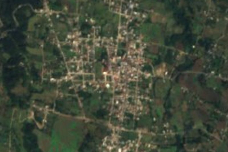


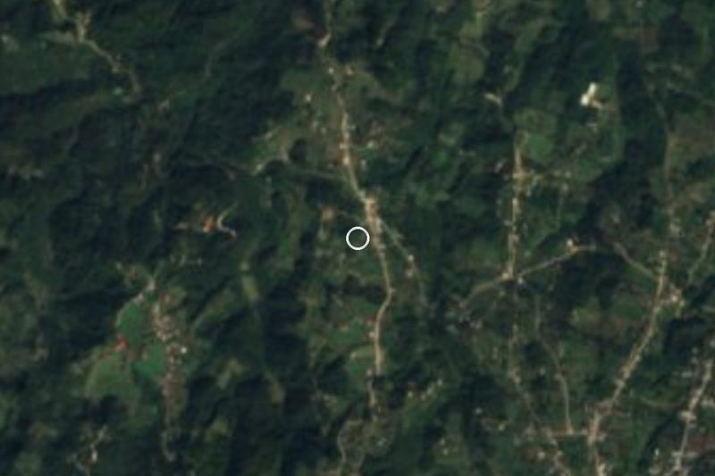
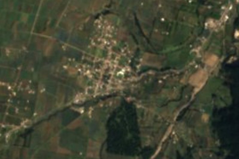

Drive times by road from OpenStreetMap, without traffic. Times marked ~ are estimated from the straight-line distance.
Location from OpenStreetMap. Written by Puebloteca.