

Village Xiutetelco, Puebla Municipality of Xiutetelco Sierra Norte de Puebla
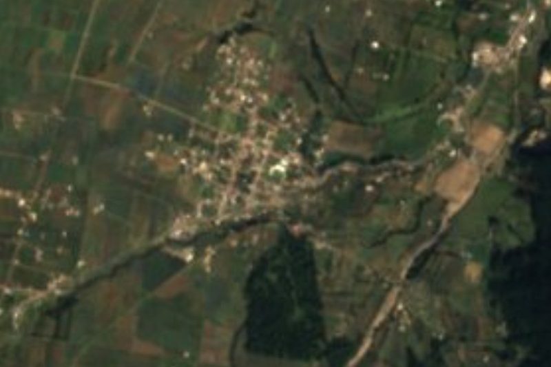
Xiutetelco village at 1,889 m near the Veracruz state line, where the Puebla highlands begin to drop toward the Gulf coast.
From Teziutlán: 10 min by car (7 km by road) How to get there ↓
Near here
See everything nearby ↓



Plan your visit to Santiago
Where to stay near Santiago
Compare hotels, posadas and guest houses in Santiago.
Tours to Santiago
Day trips and guided outings from Teziutlán often include Santiago; with a local guide you can get there without a car.
How to get to Santiago
- From Teziutlán: about 10 min by road (~7 km)
- Nearest airport: Poza Rica (PAZ), 2 h 14 min by car to Teziutlán
Links open a partner site. We may earn a commission if you book, at no cost to you.
About Santiago
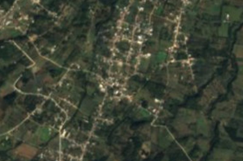
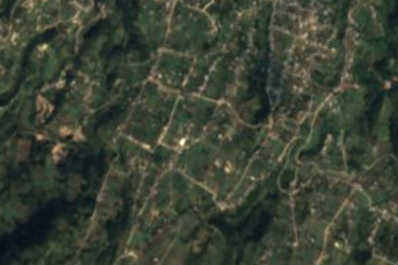
Santiago lies on Puebla's eastern edge, in a municipality that borders Jalacingo, already in Veracruz, and that only five years after becoming a free municipality, in 1900, found itself in a boundary dispute with the neighbouring state. The village, whose patron is Saint James the Greater, sits at 1,889 metres and had 1,147 residents in 2020. Teziutlán is 6 km away, Xalapa about 52 km and the city of Puebla 126 km. The photo shows one of the pyramids preserved beside the park of San Juan Xiutetelco, the municipal seat, very close by.
What defines this area is the slope. Xiutetelco covers about 145 km² and is set in the Sierra Norte, part of the Sierra Madre Oriental; its highest point is the Cerro de la Viola, and from there the land falls away east toward the Gulf Coastal Plain, while to the south it descends to the Llanos de San Juan. That is why the municipality holds four climates in bands, from the temperate highlands to the warm escarpment: according to INEGI, average temperatures range from 12 to 20 °C and annual rainfall from 500 to 2,100 mm, with a small semi-warm area that is wet all year.
Water here flows to the Gulf, within the basin of the Nautla River. The Jalacingo River crosses the east of the municipality from south to north for 15 km until it joins the María de la Torre, a tributary of the Nautla. Almost half the land is grassland, a third is farmed and around 12 % keeps its forest; as in most of the sierra, the original vegetation has largely gone, though patches of cloud forest remain. The traditional dress recorded by INEGI was a long black skirt, white blouse and rebozo for women, and for men white cotton trousers and shirt, a palm hat, sandals and a machete at the belt.
How to get to Santiago
Drive from Teziutlán: 10 min, 7 km
Santiago is about 6 km from Teziutlán and 126 km in a straight line from the city of Puebla; on the Veracruz side, Xalapa is some 52 km away. The usual route is a bus from Puebla's CAPU to Teziutlán, then local transport or a taxi toward Xiutetelco.
Directions to Santiago on Google Maps
Distances are in a straight line; the road is usually longer.
Links open a partner site. We may earn a commission if you book, at no cost to you.
From the nearest cities to Santiago
- Teziutlán · 7 km by road, 10 min
- Martínez de la Torre · 55 km by road, 1 h
- Xalapa · 79 km by road, 1 h 10 min
Drive times by road from OpenStreetMap, without traffic or stops. Times marked ~ are estimated from the straight-line distance.
Visiting Santiago: what to see and do
The transition landscape: grassy hills and cornfields, remnants of cloud forest in the ravines that drop toward Veracruz. A short distance away, in San Juan Xiutetelco, are the pyramids beside the park and the 17th-century parish church.
Plan your trip
Places to stay in Santiago
Compare hotels, posadas, and rentals in and around Santiago.
Tours & activities
Day trips and guided outings from Teziutlán often include Santiago; with a local guide you can get there without a car.
Rental cars
Pick up a car at PAZ (Poza Rica): about 2 h 14 min by road to Teziutlán, then 6 km more to Santiago, on your own schedule.
Flights
The nearest airport with scheduled flights is Poza Rica (PAZ), about 2 h 14 min by road from Teziutlán, the base for Santiago.
Mobile data
Signal can drop away from Teziutlán: download a map of the way to Santiago before you set out, or carry an eSIM with data.
Links open a partner site. We may earn a commission if you book, at no cost to you.
When to go to Santiago cool
Santiago shares the climate of Teziutlán, 6 km away. The best months to visit are February, March, April, and November.
See the month-by-month climate of Teziutlán
Weather in Santiago now and the next 7 days
Live forecast from Open-Meteo. Chance of rain is the day's highest.
The closest Pueblo Mágico: Teziutlán

Teziutlán is the Pueblo Mágico closest to Santiago, with places to stay, food, and more to see.
Also close to
- Tlatlauquitepec · Puebla · 19 km away
- Cuetzalan · Puebla · 31 km away
- Zozocolco · Veracruz · 46 km away
- Naolinco · Veracruz · 50 km away
- Tetela de Ocampo · Puebla · 51 km away
Closest to Santiago
-
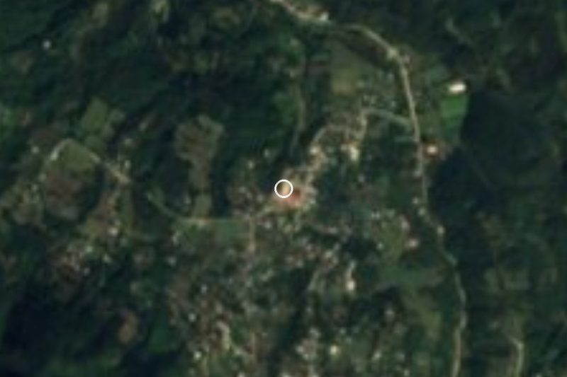
San José · Village · 1 km away
-
San Juan Xiutetelco · Archaeological site · 2 km away
-
San Francisco · Village · 4 km away
-
Manantiales de Chignautla · Nature reserve · 7 km away
-
Sosa · Village · 8 km away
-
Coahuixco · Village · 9 km away
-
Mexcalcuautla · Village · 9 km away
-
Pancho Poza · Waterfall · 11 km away

Near Santiago


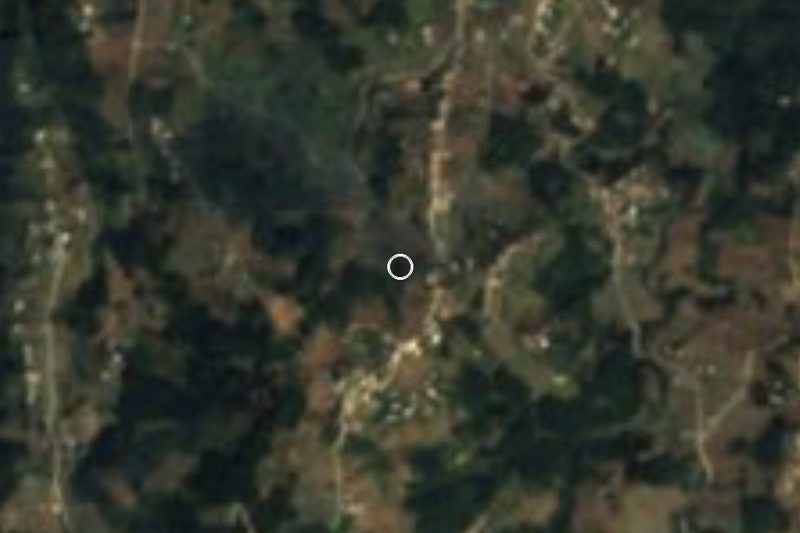
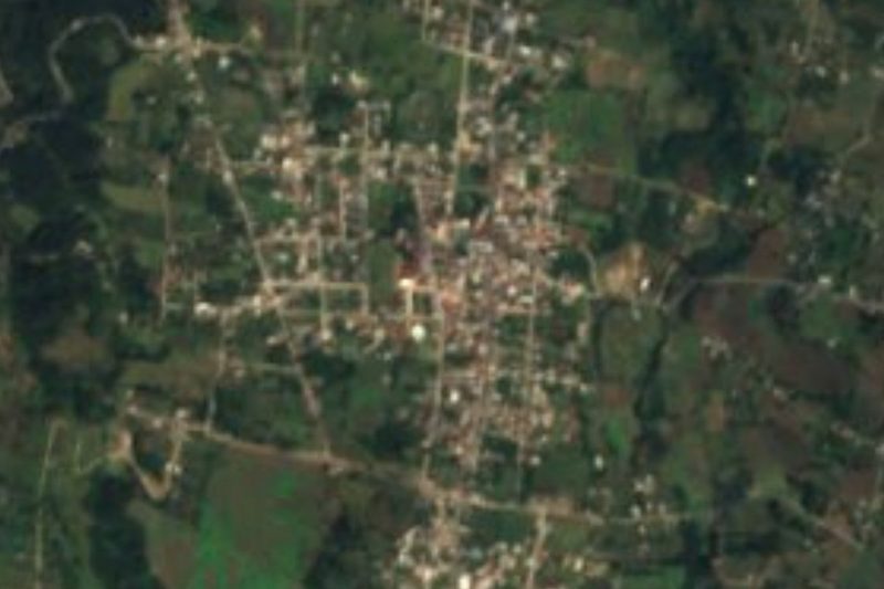


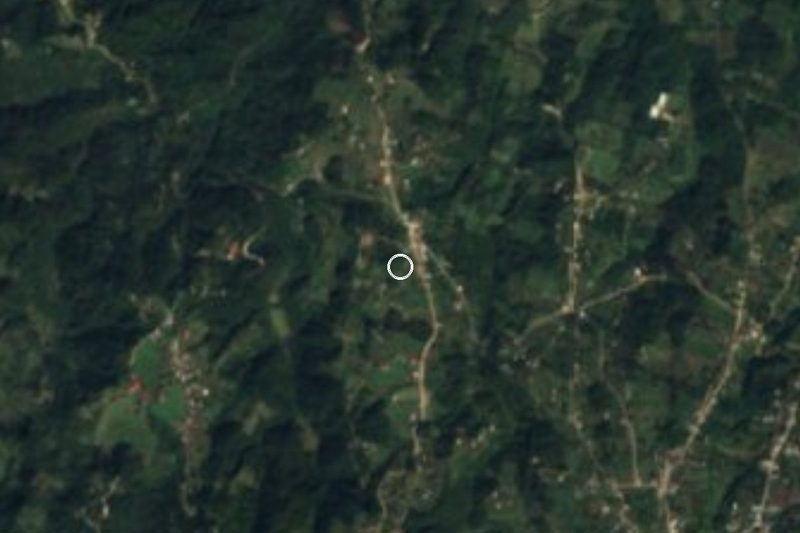


Drive times by road from OpenStreetMap, without traffic. Times marked ~ are estimated from the straight-line distance.
Location from OpenStreetMap. Written by Puebloteca.