Village Altotonga, Veracruz Sierra Norte de Puebla Xalapa and the coffee hills
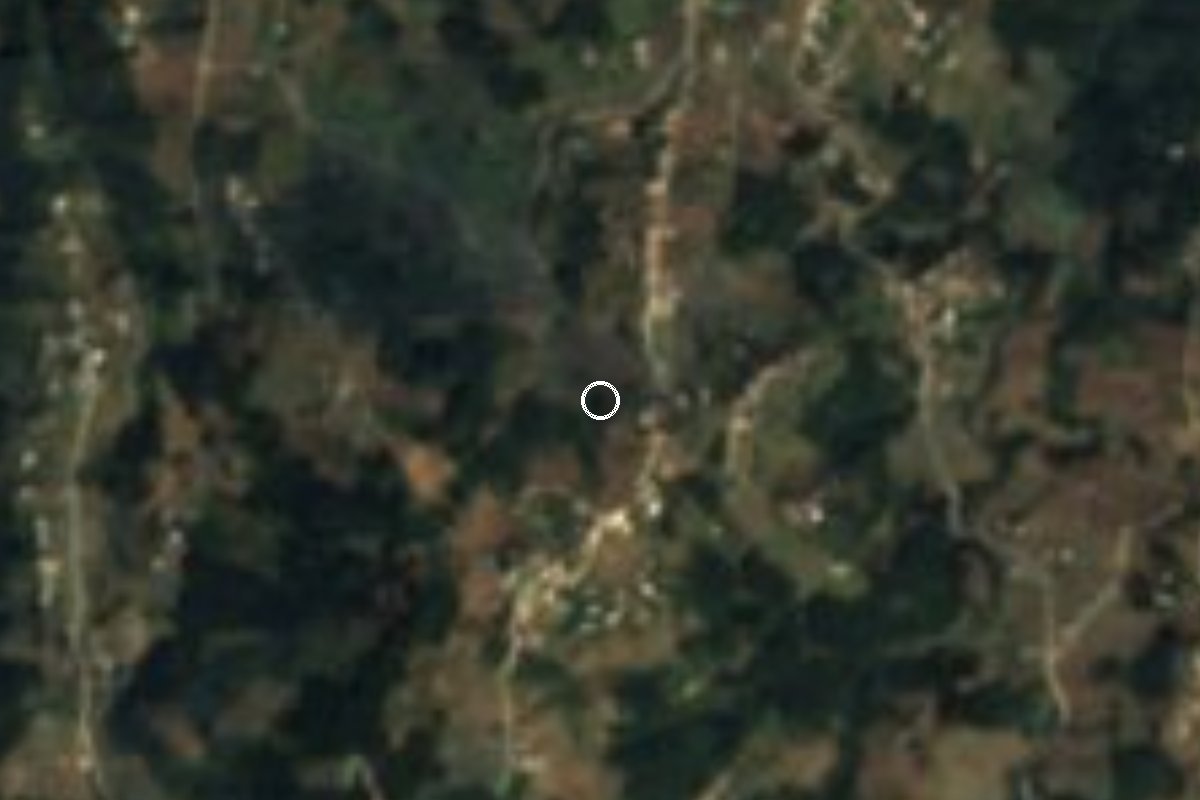
Mountain village at 2,140 m, 7 km south of Altotonga, founded in 1941 and named after a Veracruz revolutionary and lawyer.
From Teziutlán: 35 min by car (31 km by road) How to get there ↓
Near here
See everything nearby ↓


Plan your visit to Adolfo Moreno
Where to stay near Adolfo Moreno
Compare hotels, posadas and guest houses in Adolfo Moreno.
Tours to Adolfo Moreno
Day trips and guided outings from Teziutlán often include Adolfo Moreno; with a local guide you can get there without a car.
How to get to Adolfo Moreno
- From Teziutlán: about 35 min by road (~31 km)
- Nearest airport: Poza Rica (PAZ), 2 h 14 min by car to Teziutlán
Links open a partner site. We may earn a commission if you book, at no cost to you.
About Adolfo Moreno
Adolfo Moreno is a cool-climate village in the municipality of Altotonga, at about 2,140 metres and 7 km south-southeast of the municipal seat, in the high part of the municipality near the road that runs down from Perote to Teziutlán. It was founded on 1 November 1941 and has grown steadily: 330 people in 1950, 862 in 1990 and 1,790 in the 2020 census.
It is named after Adolfo Moreno, a Veracruz man who was already teaching primary school at fifteen and left the classroom to join the revolutionary forces of General Antonio Portas Domínguez, with whom he took San Andrés Tuxtla. He was made staff secretary with the rank of second lieutenant, fought on Venustiano Carranza's Constitutionalist side and rose to lieutenant. Once the Villista rebellion was put down he asked leave to resume his studies, qualified as a lawyer and later served as the state's attorney general. He died in 1937, four years before the village bearing his name was founded.
The setting is mountain country in the Sierra de Chiconquiaco: pine and oak forest, a temperate climate with municipal averages between 12 and 24 °C, and rivers that drain to the Nautla. A few kilometres away, beside Altotonga, the Pancho Poza ecological reserve protects 57.5 hectares around the river of the same name. The municipality's main feast is Saint Mary Magdalene in Altotonga town on 22 July.
How to get to Adolfo Moreno
Drive from Teziutlán: 35 min, 31 km
From central Altotonga it is about 6 km and 10 minutes via Calle Mariano Abasolo and the road to San Miguel Tlalpoalan, which climbs south to the village. From Xalapa it is about 61 km and just under an hour: the 140D Xalapa–Puebla toll road to the Perote area, Highway 131 Perote–Teziutlán north and finally a local turn-off of about 3 km. From Perote it is about 24 km (26 minutes) and from Teziutlán about 31 km (33 minutes), both on Highway 131. On public transport, start from Xalapa's CAXA bus terminal, where departures for the Perote and Teziutlán area leave; we found no published combi routes or timetables to Adolfo Moreno itself, so the safe plan is to reach Altotonga and take a taxi.
Directions to Adolfo Moreno on Google Maps
Distances are in a straight line; the road is usually longer.
Links open a partner site. We may earn a commission if you book, at no cost to you.
From the nearest cities to Adolfo Moreno
- Teziutlán · 31 km by road, 35 min
- Xalapa · 61 km by road, 55 min
- Martínez de la Torre · 63 km by road, 1 h 5 min
Drive times by road from OpenStreetMap, without traffic or stops. Times marked ~ are estimated from the straight-line distance.
Visiting Adolfo Moreno: what to see and do
The village and its mountain streets, above 2,100 m.
The pine and oak forests of the Sierra de Chiconquiaco around it.
The Pancho Poza ecological reserve beside Altotonga.
The Saint Mary Magdalene feast in Altotonga town on 22 July.
Plan your trip
Places to stay in Adolfo Moreno
Compare hotels, posadas, and rentals in and around Adolfo Moreno.
Tours & activities
Day trips and guided outings from Teziutlán often include Adolfo Moreno; with a local guide you can get there without a car.
Rental cars
Pick up a car at PAZ (Poza Rica): about 2 h 14 min by road to Teziutlán, then 19 km more to Adolfo Moreno, on your own schedule.
Flights
The nearest airport with scheduled flights is Poza Rica (PAZ), about 2 h 14 min by road from Teziutlán, the base for Adolfo Moreno.
Mobile data
Signal can drop away from Teziutlán: download a map of the way to Adolfo Moreno before you set out, or carry an eSIM with data.
Links open a partner site. We may earn a commission if you book, at no cost to you.
When to go to Adolfo Moreno cool
Adolfo Moreno shares the climate of Teziutlán, 19 km away. The best months to visit are February, March, April, and November.
See the month-by-month climate of Teziutlán
Weather in Adolfo Moreno now and the next 7 days
Live forecast from Open-Meteo. Chance of rain is the day's highest.
The closest Pueblo Mágico: Teziutlán

Teziutlán is the Pueblo Mágico closest to Adolfo Moreno, with places to stay, food, and more to see.
Also close to
- Tlatlauquitepec · Puebla · 31 km away
- Naolinco · Veracruz · 39 km away
- Xico · Veracruz · 42 km away
- Coatepec · Veracruz · 42 km away
- Cuetzalan · Puebla · 45 km away
Closest to Adolfo Moreno
-
Pancho Poza · Waterfall · 3 km away
-
San Francisco · Village · 11 km away
-
San Juan Xiutetelco · Archaeological site · 13 km away
-
San José · Village · 14 km away
-
Santiago · Village · 14 km away
-
Catedral de Teziutlán · Landmark · 17 km away
-
Fortaleza de San Carlos · Landmark · 17 km away
-
Perote · Town · 18 km away


Near Adolfo Moreno
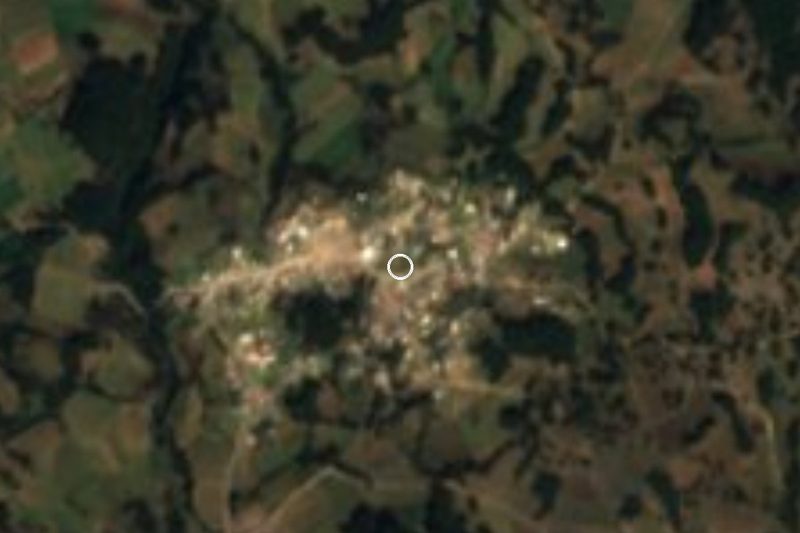


Drive times by road from OpenStreetMap, without traffic. Times marked ~ are estimated from the straight-line distance.
Location from OpenStreetMap. Written by Puebloteca.