

Village Tepeyahualco, Puebla Municipality of Tepeyahualco
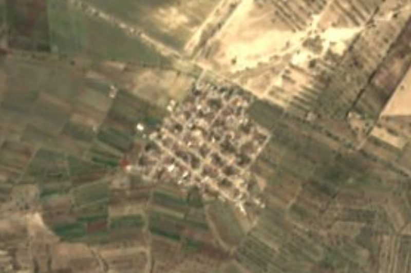
Village on the Llanos de San Juan, "in the ring of hills", seat of the municipality that holds the Cantona ruins and Cerro Pizarro.
From Huamantla: 45 min by car (57 km by road) How to get there ↓
Near here
See everything nearby ↓


Plan your visit to Tepeyahualco
Where to stay near Tepeyahualco
Compare hotels, posadas and guest houses in Tepeyahualco.
Tours to Tepeyahualco
Day trips and guided outings from Tlatlauquitepec often include Tepeyahualco; with a local guide you can get there without a car.
 Tours from Puebla City
Africam Safari Zoo Admission with Transportation
★ 4.8 (87) · From US$35
How to get to Tepeyahualco
- From Huamantla: about 45 min by road (~57 km)
- Nearest airport: Poza Rica (PAZ), 2 h 6 min by car to Tlatlauquitepec
Links open a partner site. We may earn a commission if you book, at no cost to you.
Tours from Puebla City, near Tepeyahualco


Tours, prices and ratings from Viator, checked weekly. We may earn a commission if you book.
About Tepeyahualco
Tepeyahualco is the seat of the municipality of the same name in eastern Puebla, about 90 km from the capital and 172 km from Mexico City. The name comes from the Nahuatl tepetl, hill, yahualtec, round, and co, in: "in the ring of hills". The village stands at about 2,330 m and had 1,563 people in 2020; the municipality, about 452 km² with 29 settlements, had 19,200 in 2020, 17% more than in 2010. According to the municipal history, the town was founded in 1556.
The municipality spans two regions: the flat Llanos de San Juan and the foothills of the Sierra Norte, with small hills, so altitude runs from 2,400 to 3,000 m. It borders Chignautla to the north, Libres and Cuyoaco to the west, Guadalupe Victoria, Oriental and San Nicolás Buenos Aires to the south, and Xiutetelco and the state of Veracruz to the east.
For travellers, Tepeyahualco is the gateway to two remarkable places. In its territory lies the Cantona archaeological site, one of the most urbanised cities of Mesoamerica, with over 500 paved streets and at least 24 ballcourts; the road to the site starts right from the village. And beside the Amozoc–Xalapa highway rises Cerro Pizarro, a 3,080 m volcano climbed in half a day. In the village, the hermitage of San Pedro stands out.
How to get to Tepeyahualco
Drive from Huamantla: 45 min, 57 km
From Puebla city take highway 150 east and, at Amozoc, federal highway 129 north to Oriental; from there continue to Tepeyahualco. From Perote in Veracruz, take federal highway 140 south-west for about 22 km, then the turn-off west. Puebla is about 90 km away.
Directions to Tepeyahualco on Google Maps
Distances are in a straight line; the road is usually longer.
Links open a partner site. We may earn a commission if you book, at no cost to you.
From the nearest cities to Tepeyahualco
Drive times by road from OpenStreetMap, without traffic or stops. Times marked ~ are estimated from the straight-line distance.
Visiting Tepeyahualco: what to see and do
The Cantona archaeological site, reached by a road from the village.
Cerro Pizarro, a 3,080 m volcano beside the highway.
The hermitage of San Pedro.
The Llanos de San Juan landscape.
Plan your trip
Places to stay in Tepeyahualco
Compare hotels, posadas, and rentals in and around Tepeyahualco.
Tours & activities
Day trips and guided outings from Tlatlauquitepec often include Tepeyahualco; with a local guide you can get there without a car.
Rental cars
Pick up a car at PAZ (Poza Rica): about 2 h 6 min by road to Tlatlauquitepec, then 40 km more to Tepeyahualco, on your own schedule.
Flights
The nearest airport with scheduled flights is Poza Rica (PAZ), about 2 h 6 min by road from Tlatlauquitepec, the base for Tepeyahualco.
Mobile data
Signal can drop away from Tlatlauquitepec: download a map of the way to Tepeyahualco before you set out, or carry an eSIM with data.
Links open a partner site. We may earn a commission if you book, at no cost to you.
When to go to Tepeyahualco cool
Tepeyahualco shares the climate of Tlatlauquitepec, 40 km away. The best months to visit are February, March, April, and May.
See the month-by-month climate of Tlatlauquitepec
Weather in Tepeyahualco now and the next 7 days
Live forecast from Open-Meteo. Chance of rain is the day's highest.
The closest Pueblo Mágico: Tlatlauquitepec

Tlatlauquitepec is the Pueblo Mágico closest to Tepeyahualco, with places to stay, food, and more to see.
Also close to
- Teziutlán · Puebla · 42 km away
- Huamantla · Tlaxcala · 49 km away
- Tetela de Ocampo · Puebla · 49 km away
- Xico · Veracruz · 52 km away
- Ixtenco · Tlaxcala · 54 km away
Closest to Tepeyahualco
-
Cerro Pizarro · Mountain · 6 km away
-
Cantona · Archaeological site · 7 km away
-
Chichicuautla · Village · 15 km away
-
Cuyoaco · Village · 18 km away
-
Laguna de Atexcac · Lake · 18 km away
-
Miravalles · Village · 18 km away
-
Oriental · Village · 19 km away
-
Libres · Town · 21 km away


Near Tepeyahualco





Drive times by road from OpenStreetMap, without traffic. Times marked ~ are estimated from the straight-line distance.
Location from OpenStreetMap. Written by Puebloteca.