Village Guadalupe Victoria, Puebla Municipality of Guadalupe Victoria
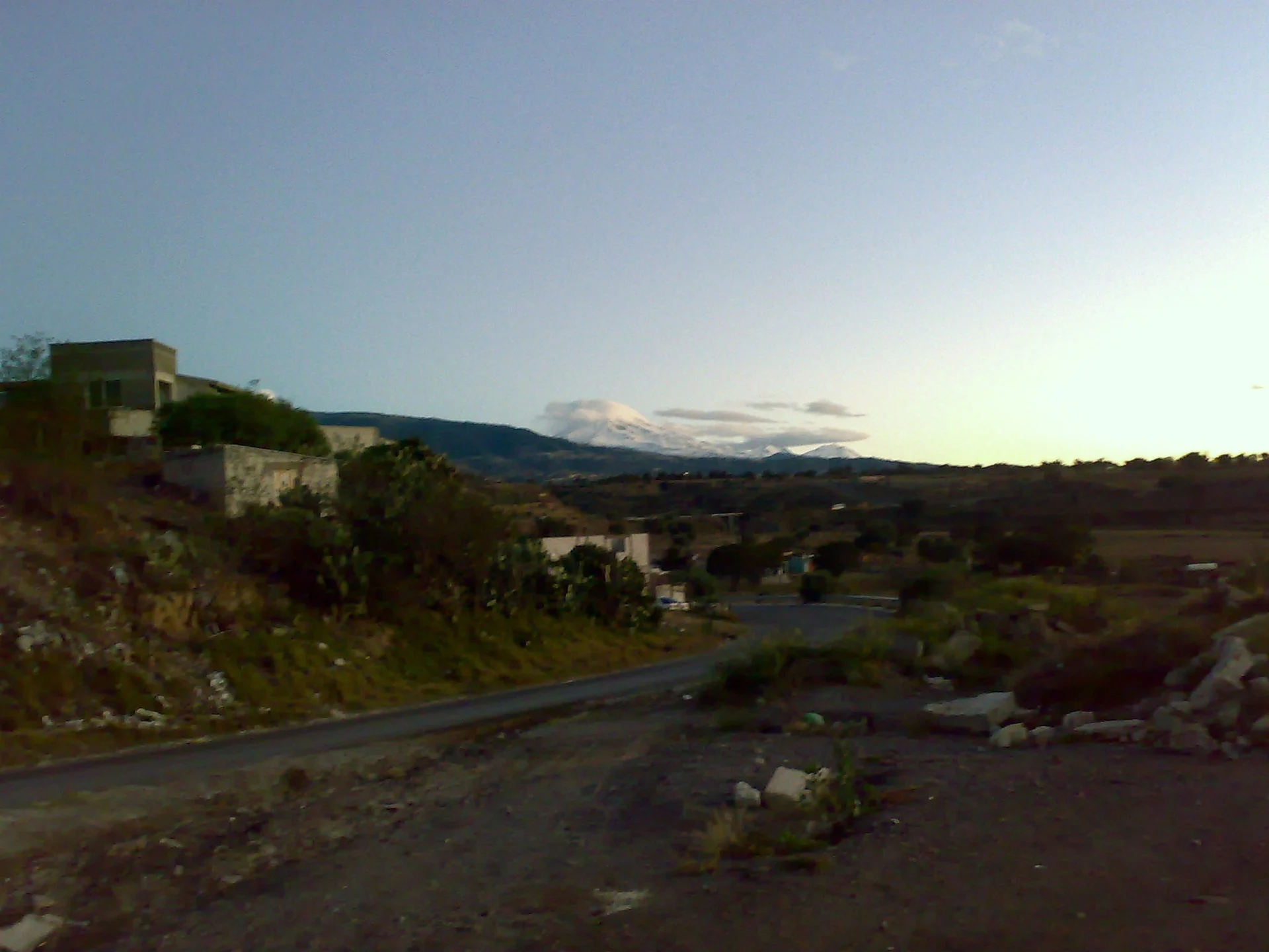
Hamlet of Guadalupe Victoria on the Llanos de San Juan, at about 2,410 m, with Pico de Orizaba on the horizon.
From Huamantla: 1 h 5 min by car (72 km by road) How to get there ↓
Near here
See everything nearby ↓




Plan your visit to San Agustín
Where to stay near San Agustín
Compare hotels, posadas and guest houses in San Agustín.
Tours to San Agustín
Day trips and guided outings from Xico often include San Agustín; with a local guide you can get there without a car.
 Tours from Puebla City
Africam Safari Zoo Admission with Transportation
★ 4.8 (87) · From US$35
How to get to San Agustín
- From Huamantla: about 1 h 5 min by road (~72 km)
- Nearest airport: Veracruz (VER), 1 h 44 min by car to Xico
Links open a partner site. We may earn a commission if you book, at no cost to you.
Tours from Puebla City, near San Agustín


Tours, prices and ratings from Viator, checked weekly. We may earn a commission if you book.
About San Agustín
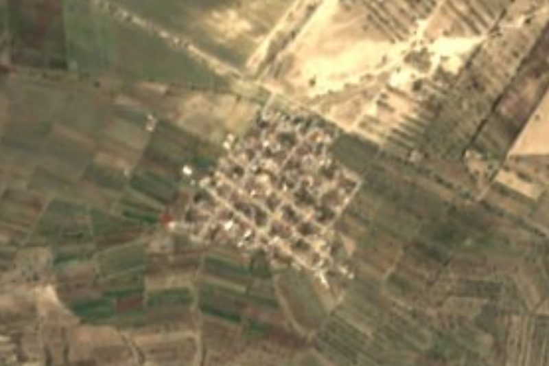
San Agustín is a hamlet of 354 people (2020) in the municipality of Guadalupe Victoria at the eastern edge of Puebla, about 2,410 m above sea level. From the surrounding fields you can see Pico de Orizaba, as in the photo, taken nearby.
This is the landscape of the Llanos de San Juan, a basin with no outlet to the sea where water gathers in lakes rather than rivers. The municipality has only seasonal streams, such as the Dos Aguas and Metacoyote, and Laguna La Preciosa is its permanent body of water. It is cold, dry country: averages run 8 to 14 °C, rain is 300 to 900 mm a year, and three quarters of the land has a cool semi-arid climate. Almost two thirds is farmed; the rest is woodland, scrub and grassland, with a little bare ground.
In Guadalupe Victoria people make ceramic crucifixes, forge iron and cut paving stones. Typical food is white barbacoa, mixiotes, mole and chiles en nogada, with squash and sweet-potato sweets, pulque and aguardiente; festivals are played by wind bands. The parish church in the seat, dedicated to the Virgin of Guadalupe, holds paintings and murals in oil and watercolour.
How to get to San Agustín
Drive from Huamantla: 1 h 5 min, 72 km
San Agustín lies in the municipality of Guadalupe Victoria, about 94 km in a straight line from Puebla city and 54 km from Xalapa. Drive the highway toward Perote and Xalapa, then plains roads from the municipal seat.
Directions to San Agustín on Google Maps
Distances are in a straight line; the road is usually longer.
Links open a partner site. We may earn a commission if you book, at no cost to you.
From the nearest cities to San Agustín
- Huamantla · 72 km by road, 1 h 5 min
- Xalapa · 95 km by road, 1 h 25 min
- Orizaba · 101 km by road, 1 h 25 min
Drive times by road from OpenStreetMap, without traffic or stops. Times marked ~ are estimated from the straight-line distance.
Visiting San Agustín: what to see and do
The view of Pico de Orizaba across the plain.
Laguna La Preciosa.
The parish church of the Virgin of Guadalupe in the seat.
Plan your trip
Places to stay in San Agustín
Compare hotels, posadas, and rentals in and around San Agustín.
Tours & activities
Day trips and guided outings from Xico often include San Agustín; with a local guide you can get there without a car.
Rental cars
Pick up a car at VER (Veracruz): about 1 h 44 min by road to Xico, then 39 km more to San Agustín, on your own schedule.
Flights
The nearest airport with scheduled flights is Veracruz (VER), about 1 h 44 min by road from Xico, the base for San Agustín.
Mobile data
Signal can drop away from Xico: download a map of the way to San Agustín before you set out, or carry an eSIM with data.
Links open a partner site. We may earn a commission if you book, at no cost to you.
When to go to San Agustín mild
San Agustín shares the climate of Xico, 39 km away. The best months to visit are February, March, April, and May.
See the month-by-month climate of Xico
Weather in San Agustín now and the next 7 days
Live forecast from Open-Meteo. Chance of rain is the day's highest.
The closest Pueblo Mágico: Xico

Xico is the Pueblo Mágico closest to San Agustín, with places to stay, food, and more to see.
Also close to
- Coscomatepec · Veracruz · 40 km away
- Coatepec · Veracruz · 45 km away
- Orizaba · Veracruz · 55 km away
- Huamantla · Tlaxcala · 60 km away
- Córdoba · Veracruz · 62 km away
Closest to San Agustín
-
Guadalupe Victoria · Town · 1 km away
-
Saltillo · Village · 5 km away
-
Tlanalapan · Village · 9 km away
-
González Ortega · Village · 10 km away
-
Las Derrumbadas · Mountain · 11 km away
-
Chichicuautla · Village · 12 km away
-
Laguna de Atexcac · Lake · 12 km away
-
La Gloria · Village · 14 km away


Near San Agustín
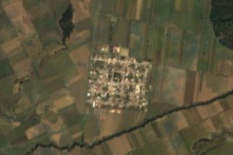




Drive times by road from OpenStreetMap, without traffic. Times marked ~ are estimated from the straight-line distance.
Location from OpenStreetMap. Written by Puebloteca.