Village Chalchicomula de Sesma, Puebla Municipality of Chalchicomula de Sesma
A post-Revolution ejido 4 km from Ciudad Serdán, named for the candles of people walking down at night to a hacienda's well.
From Orizaba: 55 min by car (65 km by road) How to get there ↓
Near here
See everything nearby ↓
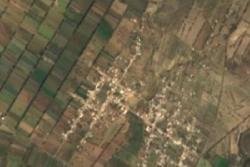


Plan your visit to Santa Cruz El Veladero
Where to stay near Santa Cruz El Veladero
Compare hotels, posadas and guest houses in Santa Cruz El Veladero.
Tours to Santa Cruz El Veladero
Day trips and guided outings from Orizaba often include Santa Cruz El Veladero; with a local guide you can get there without a car.
 Tours from Puebla City
Africam Safari Zoo Admission with Transportation
★ 4.8 (87) · From US$35
How to get to Santa Cruz El Veladero
- From Orizaba: about 55 min by road (~65 km)
- Nearest airport: Veracruz (VER), 1 h 42 min by car to Orizaba
Links open a partner site. We may earn a commission if you book, at no cost to you.
Tours from Puebla City, near Santa Cruz El Veladero


Tours, prices and ratings from Viator, checked weekly. We may earn a commission if you book.
About Santa Cruz El Veladero
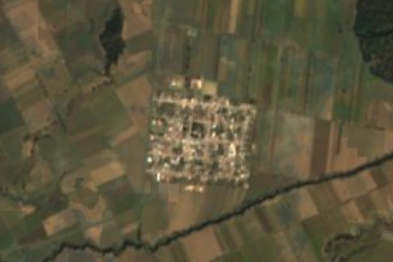
El Veladero's name comes from a night-time scene: there was a well here that supplied water to the Hacienda de San Jerónimo Ometepec, some 800 metres higher up, and beside it fountains and troughs were built for mules, horses, donkeys, oxen and cows. When workers walked down at night to draw water, a line of people lighting their way with candles could be seen along the path from afar. The community lies 4 km from Ciudad Serdán, in Chalchicomula de Sesma, at 2,475 metres, and in 2020 it had 1,364 inhabitants, most of them working the land. Orizaba is about 42 km away.
The present village grew out of the struggle for land after the Revolution. Carlos Ortiz, his brother Fortino and Rosendo Arellano worked as labourers laying track for the Mexican Railway between Orizaba and Paso del Macho; on returning to Santa María Techachalco they found themselves left out of the land distribution and complained to the Local Agrarian Commission in Chalchicomula, without success. They sought support from Hilario Galicia, nicknamed El Gato Prieto, who was fighting for the lands of the San Jerónimo Ometepec and San Pedro Candelaria haciendas, and began inviting families from Techachalco, Candelaria, San Pedro Temamatla, Las Palmas, Santa Inés and Boca del Monte. Shots were fired to scare them, and Carlos Ortiz Lezama, Rosendo Arellano Ortiz and Eulalio Vázquez were even shot at in a Puebla hotel; from then on they travelled on foot at night along the railway to the Mexico–Veracruz highway near Rinconada. Ortiz Lezama paid the ejido paperwork out of his own pocket.
The landscape is ruled by the Citlaltépetl: Ciudad Serdán is 19.5 km from its summit and 14 km from the Sierra Negra volcano, home of the Large Millimeter Telescope. Almost two thirds of the municipality is the plain of the Llanos de San Andrés, with volcanic soils that soak up meltwater. 78.6% of the land is farmed. Among the colonial hacienda buildings is San Jerónimo, 8 km from the seat, and in Ciudad Serdán the aqueduct and the Arquería de San Juan, from 1723. Regional cooking has chileatole, triangular tlaxcales, mushroom texmole, huitlacoche quesadillas and broad-bean soup, with pulque or capulín and tejocote infusions.
How to get to Santa Cruz El Veladero
Drive from Orizaba: 55 min, 65 km
El Veladero lies 4 km from Ciudad Serdán, the seat of Chalchicomula de Sesma, and about 76 km in a straight line east of Puebla city. Orizaba is about 42 km away; the Mexico–Veracruz federal highway runs near Rinconada.
Directions to Santa Cruz El Veladero on Google Maps
Distances are in a straight line; the road is usually longer.
Links open a partner site. We may earn a commission if you book, at no cost to you.
From the nearest cities to Santa Cruz El Veladero
Drive times by road from OpenStreetMap, without traffic or stops. Times marked ~ are estimated from the straight-line distance.
Visiting Santa Cruz El Veladero: what to see and do
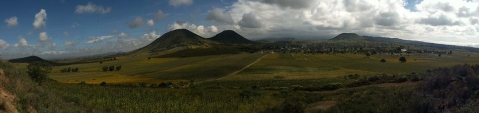
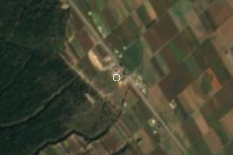
The village and its farm fields below volcanic hills.
The Hacienda de San Jerónimo Ometepec, about 800 m away.
Views of the Citlaltépetl and Sierra Negra.
The aqueduct and Arquería de San Juan (1723) in Ciudad Serdán.
Plan your trip
Places to stay in Santa Cruz El Veladero
Compare hotels, posadas, and rentals in and around Santa Cruz El Veladero.
Tours & activities
Day trips and guided outings from Orizaba often include Santa Cruz El Veladero; with a local guide you can get there without a car.
Rental cars
Pick up a car at VER (Veracruz): about 1 h 42 min by road to Orizaba, then 42 km more to Santa Cruz El Veladero, on your own schedule.
Flights
The nearest airport with scheduled flights is Veracruz (VER), about 1 h 42 min by road from Orizaba, the base for Santa Cruz El Veladero.
Mobile data
Signal can drop away from Orizaba: download a map of the way to Santa Cruz El Veladero before you set out, or carry an eSIM with data.
Links open a partner site. We may earn a commission if you book, at no cost to you.
When to go to Santa Cruz El Veladero mild
Santa Cruz El Veladero shares the climate of Orizaba, 42 km away. The best months to visit are February, March, April, and December.
See the month-by-month climate of Orizaba
Weather in Santa Cruz El Veladero now and the next 7 days
Live forecast from Open-Meteo. Chance of rain is the day's highest.
The closest Pueblo Mágico: Orizaba

Orizaba is the Pueblo Mágico closest to Santa Cruz El Veladero, with places to stay, food, and more to see.
Also close to
- Coscomatepec · Veracruz · 48 km away
- Ixtenco · Tlaxcala · 57 km away
- Córdoba · Veracruz · 58 km away
- Huamantla · Tlaxcala · 60 km away
- Xico · Veracruz · 72 km away
Closest to Santa Cruz El Veladero
-
Ciudad Serdán · Town · 4 km away
-
Ahuatepec del Camino · Village · 10 km away
-
San Juan Arcos Ojo de Agua · Village · 10 km away
-
Bellavista de Victoria · Village · 12 km away
-
Cuesta Blanca · Village · 13 km away
-
San Juan Atenco · Village · 15 km away
-
Aljojuca · Village · 16 km away
-
Esperanza · Town · 16 km away


Near Santa Cruz El Veladero





Drive times by road from OpenStreetMap, without traffic. Times marked ~ are estimated from the straight-line distance.
Location from OpenStreetMap. Written by Puebloteca.