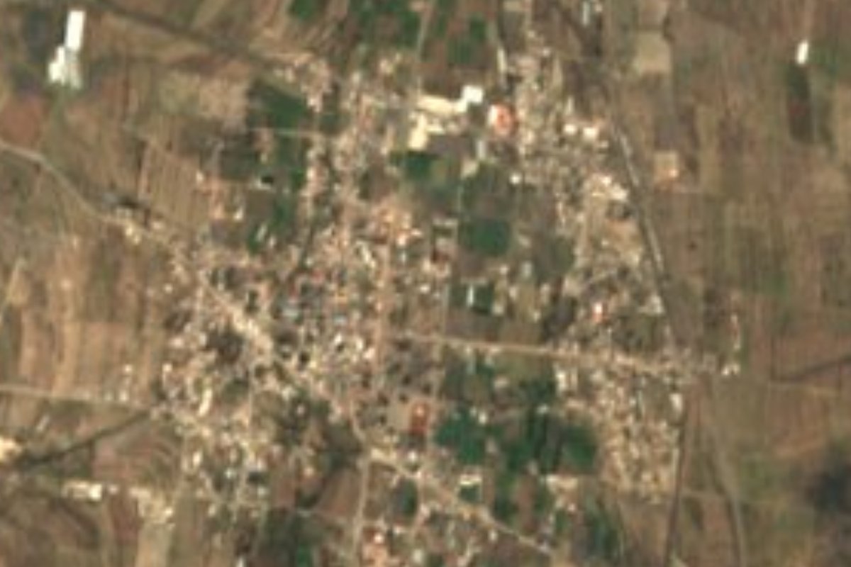
Village Cañada Morelos, Puebla Tehuacán Valley
Municipal seat at 2,286 m on Puebla's eastern plain, once Tepectlán; San José feast on 19 March and tomatoes as its big crop.
From Tehuacán: 35 min by car (35 km by road) How to get there ↓
Near here
See everything nearby ↓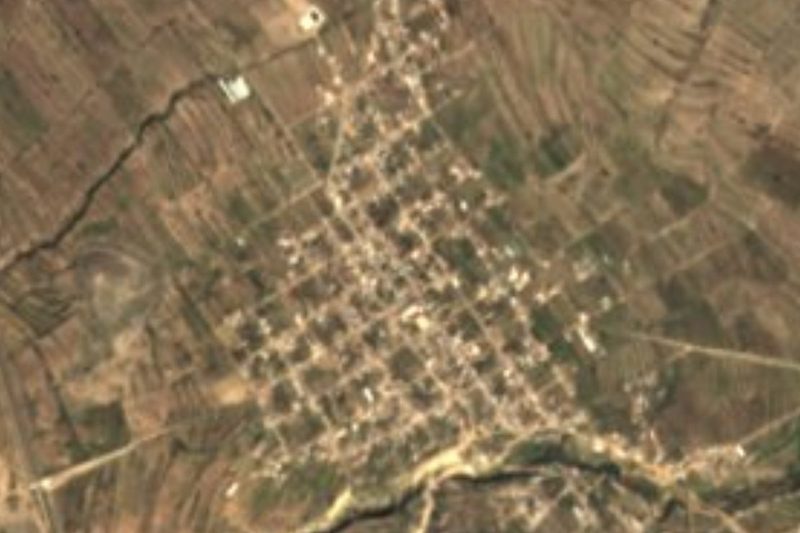


Plan your visit to Morelos Cañada
Where to stay near Morelos Cañada
Compare hotels, posadas and guest houses in Morelos Cañada.
Tours to Morelos Cañada
Day trips and guided outings from Orizaba often include Morelos Cañada; with a local guide you can get there without a car.
 Tours from Puebla City
Africam Safari Zoo Admission with Transportation
★ 4.8 (87) · From US$35
How to get to Morelos Cañada
- From Tehuacán: about 35 min by road (~35 km)
- Nearest airport: Veracruz (VER), 1 h 42 min by car to Orizaba
Links open a partner site. We may earn a commission if you book, at no cost to you.
Tours from Puebla City, near Morelos Cañada


Tours, prices and ratings from Viator, checked weekly. We may earn a commission if you book.
About Morelos Cañada
Morelos Cañada, seat of the municipality of Cañada Morelos, stands at 2,286 metres in eastern Puebla, in a municipality that borders Veracruz. In 2020 the town had 4,213 people, inside a municipality of roughly 20,600. Before it carried the insurgent priest's name it was called Tepectlán, a Nahuatl word meaning "place of stones", that is, stony ground. It began as a Popoloca settlement and was later subdued by the Mexica. The current name honours José María Morelos, who according to tradition passed through around 1812.
In the nineteenth century it belonged to the old Chalchicomula district, and in 1895 it became a municipality. The territory ranges from 2,060 to 2,900 metres and borders Esperanza, Palmar de Bravo, Tlacotepec de Benito Juárez, Tepanco de López and Chapulco, plus Aquila and Acultzingo across the line in Veracruz.
Farming rules here: the 2024-2027 municipal plan records 17,978 tonnes of red tomato, 8,167 of green alfalfa and 3,658 of green forage oats, as well as beef, pork, mutton, goat and poultry. The festival calendar peaks on 19 March, San José; 3 May is kept in the La Cruz barrio, 8 December in La Concepción and 12 December in the Guadalupe barrio. In July an annual pilgrimage sets out for the Cristo sanctuary in neighbouring Tlacotepec.
How to get to Morelos Cañada
Drive from Tehuacán: 35 min, 35 km
Morelos Cañada is in central-eastern Puebla, in a municipality that borders Veracruz. A toll road crosses the municipality; the municipal plan asks for an interchange to improve access from the auxiliary town of San José Ixtapa and for the Cañada Morelos-Tecamachalco road to be modernised. From Tehuacán it is about 31 km in a straight line and roughly 35 minutes by car; from Orizaba, about 35 km and 40 minutes (the municipality borders Acultzingo in Veracruz). No fixed bus timetable to Morelos Cañada is published: in Tehuacán and Ciudad Serdán ask for combis or buses to the seat, and from Puebla leave from CAPU.
Directions to Morelos Cañada on Google Maps
Distances are in a straight line; the road is usually longer.
Links open a partner site. We may earn a commission if you book, at no cost to you.
From the nearest cities to Morelos Cañada
Drive times by road from OpenStreetMap, without traffic or stops. Times marked ~ are estimated from the straight-line distance.
Before you go to Morelos Cañada: hours, prices and tips
- Best season
- The patron feast is 19 March, San José; an annual pilgrimage to the Cristo sanctuary in Tlacotepec sets out in July; 3 May, La Cruz barrio; 8 December, La Concepción; 12 December, Guadalupe. Wikipedia (es), Morelos Cañada · checked Oct 2026
Hours and prices change, especially around holidays. Each fact links to where we checked it.
Visiting Morelos Cañada: what to see and do
The parish and the square during the San José feast on 19 March.
The La Cruz (3 May), La Concepción (8 December) and Guadalupe (12 December) barrios and their festivals.
The July pilgrimage to the Cristo sanctuary in Tlacotepec.
The red tomato and alfalfa fields on the plain around the town.
Plan your trip
Places to stay in Morelos Cañada
Compare hotels, posadas, and rentals in and around Morelos Cañada.
Tours & activities
Day trips and guided outings from Orizaba often include Morelos Cañada; with a local guide you can get there without a car.
Rental cars
Pick up a car at VER (Veracruz): about 1 h 42 min by road to Orizaba, then 35 km more to Morelos Cañada, on your own schedule.
Flights
The nearest airport with scheduled flights is Veracruz (VER), about 1 h 42 min by road from Orizaba, the base for Morelos Cañada.
Mobile data
Signal can drop away from Orizaba: download a map of the way to Morelos Cañada before you set out, or carry an eSIM with data.
Links open a partner site. We may earn a commission if you book, at no cost to you.
When to go to Morelos Cañada mild
Morelos Cañada shares the climate of Orizaba, 35 km away. The best months to visit are February, March, April, and December.
See the month-by-month climate of Orizaba
Weather in Morelos Cañada now and the next 7 days
Live forecast from Open-Meteo. Chance of rain is the day's highest.
The closest Pueblo Mágico: Orizaba

Orizaba is the Pueblo Mágico closest to Morelos Cañada, with places to stay, food, and more to see.
Also close to
- Córdoba · Veracruz · 54 km away
- Coscomatepec · Veracruz · 54 km away
- Ixtenco · Tlaxcala · 79 km away
Closest to Morelos Cañada
-
San José Ixtapa · Village · 5 km away
-
Azumbilla · Village · 11 km away
-
Acultzingo · Town · 12 km away
-
Chapulco · Town · 13 km away
-
Cuacnopalan · Town · 13 km away
-
Cuesta Blanca · Village · 13 km away
-
Boca del Monte · Village · 14 km away
-
Esperanza · Town · 14 km away


Near Morelos Cañada

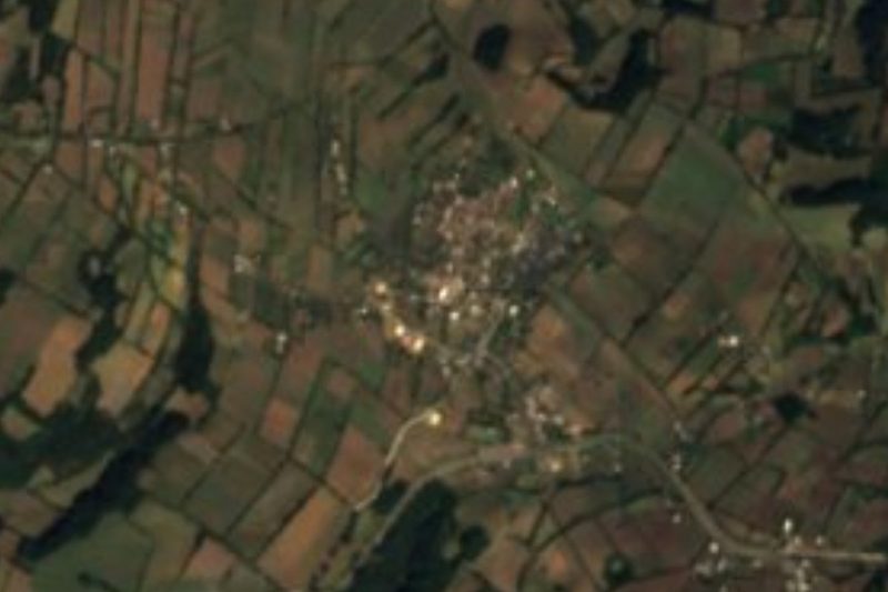

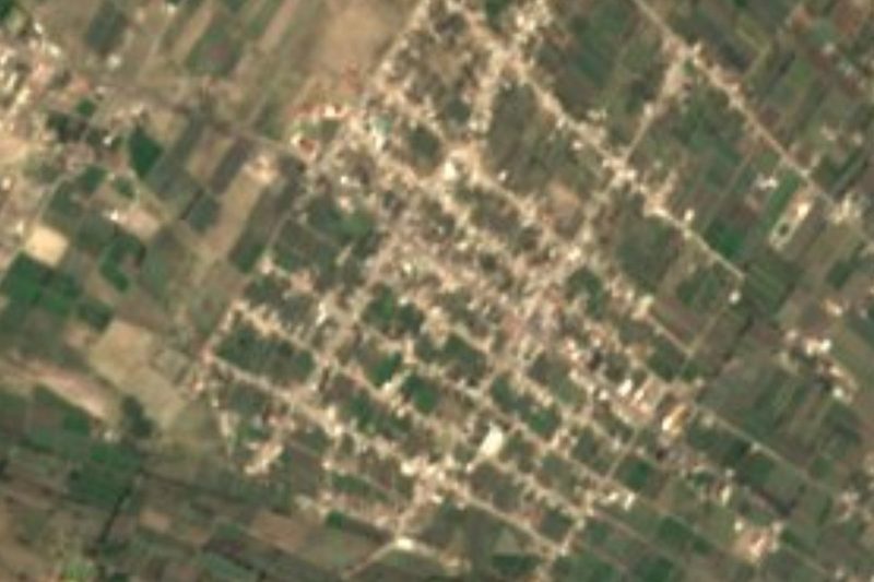

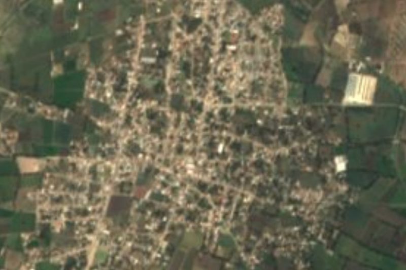

Drive times by road from OpenStreetMap, without traffic. Times marked ~ are estimated from the straight-line distance.
Location from OpenStreetMap. Written by Puebloteca.