
Village Palmar de Bravo, Puebla Municipality of Palmar de Bravo
Palmar de Bravo sub-municipality at 2,356 m on the San Andrés plains, where poultry farming is the main trade; 4,824 people in 2020.
From Tehuacán: 40 min by car (54 km by road) How to get there ↓
Near here
See everything nearby ↓


Plan your visit to Cuesta Blanca
Where to stay near Cuesta Blanca
Compare hotels, posadas and guest houses in Cuesta Blanca.
Tours to Cuesta Blanca
Day trips and guided outings from Orizaba often include Cuesta Blanca; with a local guide you can get there without a car.
How to get to Cuesta Blanca
- From Tehuacán: about 40 min by road (~54 km)
- Nearest airport: Veracruz (VER), 1 h 42 min by car to Orizaba
Links open a partner site. We may earn a commission if you book, at no cost to you.
About Cuesta Blanca
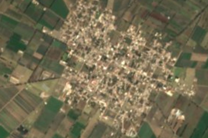
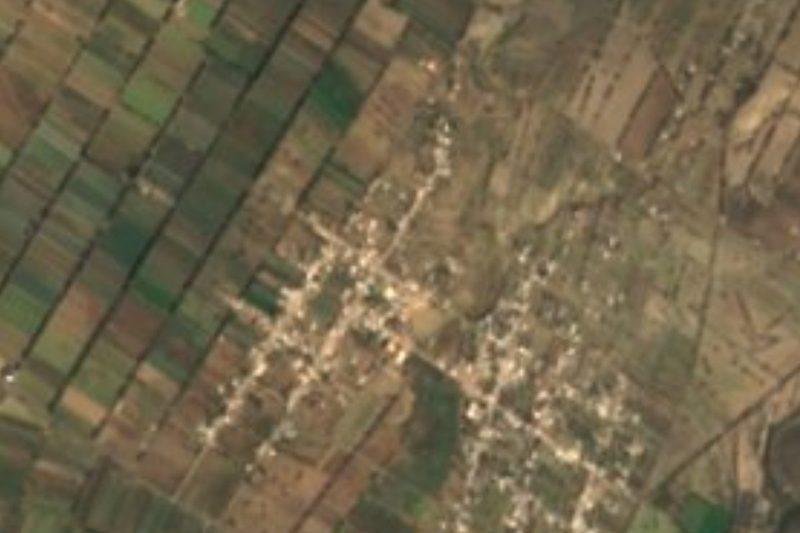
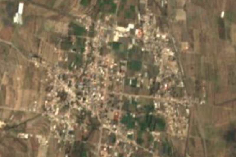
Cuesta Blanca is one of six juntas auxiliares, or sub-municipal districts, of Palmar de Bravo, on the eastern edge of the Puebla plateau known as the San Andrés plains. It sits at about 2,356 m, east of the municipal seat and a few kilometres from the Puebla–Orizaba toll road. Every three years its residents elect their own auxiliary president and four councillors.
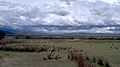
What sets it apart within the municipality is poultry: the federal encyclopedia of municipalities names poultry farming as its main economic activity, while almost every other community there lives mainly from crops. The surrounding fields are rain-fed, planted with maize, alfalfa, wheat and broad beans, in a semi-dry temperate climate with summer rain and little the rest of the year.
The village has grown almost without pause for more than a century. The 1900 census counted 607 people and the 1910 one just 601; from then on the number only went up, to 1,227 in 1950, 3,208 in 2000 and 4,824 in 2020.
Religious life in the municipality centres on Saint Augustine, patron of the seat, whose fair is held around 28 August in Palmar de Bravo, home to his late 16th-century church. Palm weaving and ixtle (agave fibre) ropes are local crafts, and barbacoa en mixiote is the dish to look for. To the southwest of the municipality rises the Sierra de Soltepec, a chain of dry, rocky hills topping 2,800 m.
How to get to Cuesta Blanca
Drive from Tehuacán: 40 min, 54 km
From Puebla city take the 150D toll road (Puebla–Orizaba) east. Past Palmar de Bravo, at the junction where the 135D toll road to Tehuacán begins, leave the motorway and follow a local road for about 6 km to the village: about 90 km and 1 h 10 min in all. From Orizaba, drive the 150D the other way, toward Puebla, for about 50 km and exit at the same junction (about 65 km, 50 minutes). From Tehuacán, head north on the 135D to its end (about 53 km, 40 minutes). Between the municipal seat, Palmar de Bravo, and Cuesta Blanca it is about 13 km (some 15 minutes) on roads 714 and 394.
Directions to Cuesta Blanca on Google Maps
Distances are in a straight line; the road is usually longer.
Links open a partner site. We may earn a commission if you book, at no cost to you.
From the nearest cities to Cuesta Blanca
Drive times by road from OpenStreetMap, without traffic or stops. Times marked ~ are estimated from the straight-line distance.
Visiting Cuesta Blanca: what to see and do
The rain-fed fields of the San Andrés plains around the village.
The late 16th-century church of San Agustín in the seat, Palmar de Bravo.
The San Agustín fair around 28 August in Palmar de Bravo.
The local barbacoa en mixiote.
The Sierra de Soltepec in the southwest of the municipality.
Plan your trip
Places to stay in Cuesta Blanca
Compare hotels, posadas, and rentals in and around Cuesta Blanca.
Tours & activities
Day trips and guided outings from Orizaba often include Cuesta Blanca; with a local guide you can get there without a car.
Rental cars
Pick up a car at VER (Veracruz): about 1 h 42 min by road to Orizaba, then 38 km more to Cuesta Blanca, on your own schedule.
Flights
The nearest airport with scheduled flights is Veracruz (VER), about 1 h 42 min by road from Orizaba, the base for Cuesta Blanca.
Mobile data
Signal can drop away from Orizaba: download a map of the way to Cuesta Blanca before you set out, or carry an eSIM with data.
Links open a partner site. We may earn a commission if you book, at no cost to you.
When to go to Cuesta Blanca mild
Cuesta Blanca shares the climate of Orizaba, 38 km away. The best months to visit are February, March, April, and December.
See the month-by-month climate of Orizaba
Weather in Cuesta Blanca now and the next 7 days
Live forecast from Open-Meteo. Chance of rain is the day's highest.
The closest Pueblo Mágico: Orizaba

Orizaba is the Pueblo Mágico closest to Cuesta Blanca, with places to stay, food, and more to see.
Also close to
- Coscomatepec · Veracruz · 51 km away
- Córdoba · Veracruz · 56 km away
- Ixtenco · Tlaxcala · 66 km away
- Huamantla · Tlaxcala · 70 km away
- Xico · Veracruz · 80 km away
Closest to Cuesta Blanca
-
Cuacnopalan · Town · 5 km away
-
Palmar de Bravo · Village · 8 km away
-
Bellavista de Victoria · Village · 9 km away
-
Esperanza · Town · 10 km away
-
Morelos Cañada · Village · 13 km away
-
Santa Cruz El Veladero · Village · 13 km away
-
San José Ixtapa · Village · 14 km away
-
Boca del Monte · Village · 15 km away
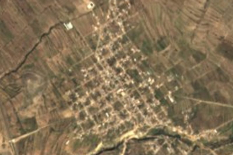

Near Cuesta Blanca

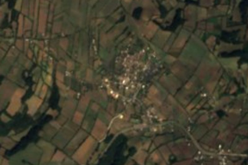
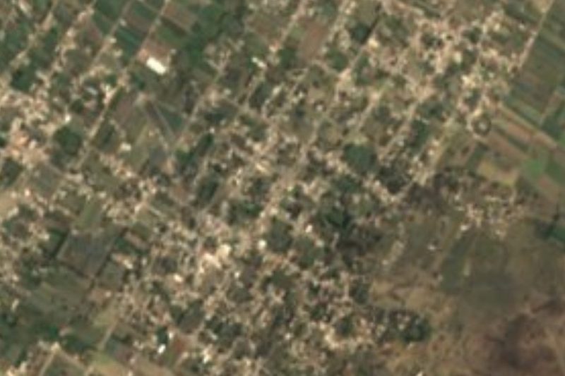
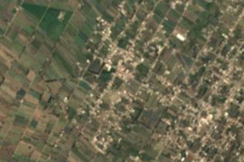

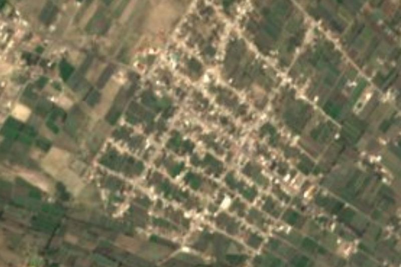

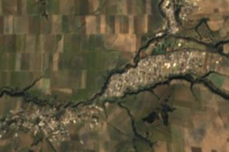

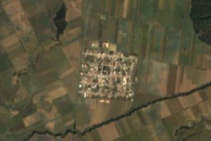


Drive times by road from OpenStreetMap, without traffic. Times marked ~ are estimated from the straight-line distance.
Location from OpenStreetMap. Written by Puebloteca.