Village Atzitzintla, Puebla Altas Montañas (Orizaba and Córdoba)
Hamlet of Atzitzintla at the municipality's lowest point, 2,500 m, at the foot of Pico de Orizaba and about 16 km from Orizaba.
From Orizaba: 35 min by car (35 km by road) How to get there ↓
Near here
See everything nearby ↓



Plan your visit to Toluca
Where to stay near Toluca
Compare hotels, posadas and guest houses in Toluca.
Tours to Toluca
Day trips and guided outings from Orizaba often include Toluca; with a local guide you can get there without a car.
How to get to Toluca
- From Orizaba: about 35 min by road (~35 km)
- Nearest airport: Veracruz (VER), 1 h 42 min by car to Orizaba
Links open a partner site. We may earn a commission if you book, at no cost to you.
About Toluca
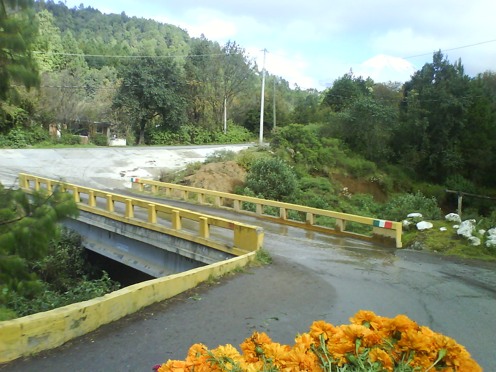
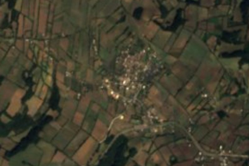
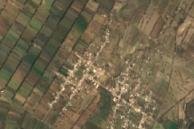
This Toluca is not the capital of the State of Mexico but a hamlet of 301 people (2020) in Atzitzintla, Puebla, at the eastern edge of the state. At about 2,500 m it is the municipality's lowest point, on the plateau of the Llanos de San Andrés; the photo shows the village bridge, surrounded by woods. Orizaba, across the line in Veracruz, is about 16 km away.
Atzitzintla, "little water below", from atl, water, and tzintli, small or beneath, covers about 94 km² in the transition from the plains to the slopes of Citlaltépetl, Mexico's highest mountain. To the north the municipality climbs the flanks of Sierra Negra and Pico de Orizaba to 3,160 m at Chichipica. It was founded by Nahua groups, though there are traces of settlement from the Middle Preclassic; it depended on San Andrés Chalchicomula until 1895. To the east it borders the Veracruz municipalities of La Perla, Mariano Escobedo and Maltrata.
The Large Millimeter Telescope Alfonso Serrano was built in its territory, on the summit of Sierra Negra, and inaugurated on 22 November 2006 by INAOE and the University of Massachusetts. The climate ranges from temperate to cold, averaging 2 to 16 °C, and water flows to the Blanco River and the Papaloapan. Local cooking includes mole poblano, green pipián, rabbit in adobo, pit barbacoa and mixiotes, with pulque.
How to get to Toluca
Drive from Orizaba: 35 min, 35 km
Toluca lies in the municipality of Atzitzintla, about 16 km in a straight line from Orizaba and 102 km from Puebla city. From Puebla, take the Orizaba highway, exit around Esperanza and follow local roads north.
Directions to Toluca on Google Maps
Distances are in a straight line; the road is usually longer.
Links open a partner site. We may earn a commission if you book, at no cost to you.
From the nearest cities to Toluca
Drive times by road from OpenStreetMap, without traffic or stops. Times marked ~ are estimated from the straight-line distance.
Visiting Toluca: what to see and do
The village bridge and its woods.
Views of Pico de Orizaba and Sierra Negra.
Orizaba in Veracruz, about 16 km away.
Plan your trip
Places to stay in Toluca
Compare hotels, posadas, and rentals in and around Toluca.
Tours & activities
Day trips and guided outings from Orizaba often include Toluca; with a local guide you can get there without a car.
Rental cars
Pick up a car at VER (Veracruz): about 1 h 42 min by road to Orizaba, then 16 km more to Toluca, on your own schedule.
Flights
The nearest airport with scheduled flights is Veracruz (VER), about 1 h 42 min by road from Orizaba, the base for Toluca.
Mobile data
Signal can drop away from Orizaba: download a map of the way to Toluca before you set out, or carry an eSIM with data.
Links open a partner site. We may earn a commission if you book, at no cost to you.
When to go to Toluca mild
Toluca shares the climate of Orizaba, 16 km away. The best months to visit are February, March, April, and December.
See the month-by-month climate of Orizaba
Weather in Toluca now and the next 7 days
Live forecast from Open-Meteo. Chance of rain is the day's highest.
The closest Pueblo Mágico: Orizaba

Orizaba is the Pueblo Mágico closest to Toluca, with places to stay, food, and more to see.
Also close to
- Coscomatepec · Veracruz · 29 km away
- Córdoba · Veracruz · 33 km away
- Xico · Veracruz · 64 km away
- Coatepec · Veracruz · 70 km away
Closest to Toluca
-
San Isidro el Berro · Village · 6 km away
-
Atzitzintla · Town · 8 km away
-
San José Cuyachapa · Village · 8 km away
-
Boca del Monte · Village · 11 km away
-
Ciudad Mendoza · Town · 12 km away
-
Laguna de Nogales · Lake · 12 km away
-
Esperanza · Town · 14 km away
-
Chilapa · Village · 15 km away


Near Toluca


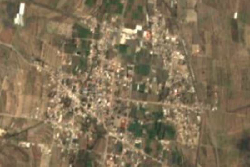



Drive times by road from OpenStreetMap, without traffic. Times marked ~ are estimated from the straight-line distance.
Location from OpenStreetMap. Written by Puebloteca.