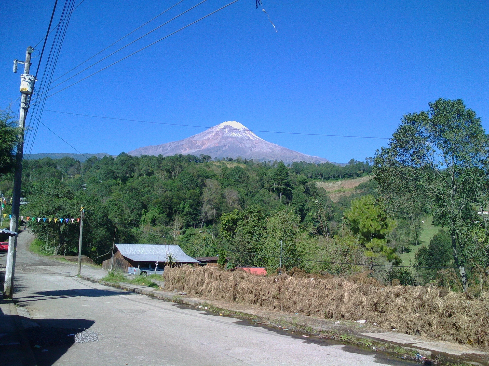
Village La Perla, Veracruz Altas Montañas (Orizaba and Córdoba)
Mountain village in La Perla, at about 2,200 m on the slopes of Pico de Orizaba; its Nahuatl name means "river of chiles".
From Orizaba: 40 min by car (24 km by road) How to get there ↓
Near here
See everything nearby ↓
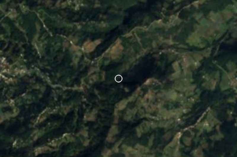


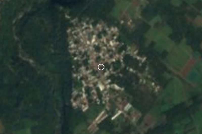
Plan your visit to Chilapa
Where to stay near Chilapa
Compare hotels, posadas and guest houses in Chilapa.
Tours to Chilapa
Day trips and guided outings from Coscomatepec often include Chilapa; with a local guide you can get there without a car.
How to get to Chilapa
- From Orizaba: about 40 min by road (~24 km)
- Nearest airport: Veracruz (VER), 1 h 50 min by car to Coscomatepec
Links open a partner site. We may earn a commission if you book, at no cost to you.
About Chilapa
Chilapa is the second-largest community in the municipality of La Perla after the seat itself, with 1,736 residents in 2020. It stands at about 2,200 metres, well above the town of La Perla (around 1,620 m), on the Veracruz flank of Pico de Orizaba, Mexico's highest mountain, whose summit lies within the municipality. The name comes from the Nahuatl chilli, chile, and apan, river: "river of chiles".
At this height the climate is cold and very wet: the municipality averages about 14 °C and nearly 2,430 mm of rain a year, and its streams feed the Jamapa, Atoyac and Cotaxtla rivers. The forest is red pine, Mexican white pine, oak and sacred fir, home to raccoons, badgers, foxes and gophers. Since 1937 the upper mountain has been Pico de Orizaba National Park, a protected area of 19,750 hectares that La Perla shares with seven other municipalities. More than half the municipality's land is used for crops and livestock.
The main feast is that of the Virgin of Guadalupe on 12 December, with Masses and flower offerings at the parish church in the municipal seat. Celebrations bring out Huasteca trios of quinta guitar, jarana and violin playing huapangos, corridos, couplets and décimas, and mole and barbacoa are the dishes of the day.
How to get to Chilapa
Drive from Orizaba: 40 min, 24 km
The most direct approach is from Orizaba: about 24 km and some 40 minutes, leaving the city northward on the road to Chicola and climbing on mountain roads to Chilapa. From the municipal seat of La Perla it is about 14 km, around 20 minutes. From Coscomatepec, the nearest Pueblo Mágico, the road route loops around the mountain: about 58 km and 1 h 10 min on Federal Highway 143 to Fortín, the 150D toll road toward Orizaba and then the Chicola road. Orizaba's central bus station (Prolongación de Oriente 6) is served by ADO, Autobuses Unidos and other lines; Autobuses Unidos runs from Mexico City's TAPO in about 5 h 20 min. We found no published colectivo routes or timetables from Orizaba or La Perla to Chilapa; for the last stretch, ask about local transport in Orizaba or go by car.
Directions to Chilapa on Google Maps
Distances are in a straight line; the road is usually longer.
Links open a partner site. We may earn a commission if you book, at no cost to you.
From the nearest cities to Chilapa
- Orizaba · 24 km by road, 40 min
- Córdoba · 45 km by road, 55 min
- Tehuacán · 91 km by road, 1 h 40 min
Drive times by road from OpenStreetMap, without traffic or stops. Times marked ~ are estimated from the straight-line distance.
Visiting Chilapa: what to see and do
Views of Pico de Orizaba from the roads around the village.
The pine, oak and fir forest on the volcano's slopes.
Pico de Orizaba National Park, in the upper part of the municipality.
The Parroquia de Santa María de Guadalupe in La Perla and its 12 December feast.
Huasteca trios of quinta guitar, jarana and violin.
Plan your trip
Places to stay in Chilapa
Compare hotels, posadas, and rentals in and around Chilapa.
Tours & activities
Day trips and guided outings from Coscomatepec often include Chilapa; with a local guide you can get there without a car.
Rental cars
Pick up a car at VER (Veracruz): about 1 h 50 min by road to Coscomatepec, then 15 km more to Chilapa, on your own schedule.
Flights
The nearest airport with scheduled flights is Veracruz (VER), about 1 h 50 min by road from Coscomatepec, the base for Chilapa.
Mobile data
Signal can drop away from Coscomatepec: download a map of the way to Chilapa before you set out, or carry an eSIM with data.
Links open a partner site. We may earn a commission if you book, at no cost to you.
When to go to Chilapa mild
Chilapa shares the climate of Coscomatepec, 15 km away. The best months to visit are February, March, April, and December.
See the month-by-month climate of Coscomatepec
Weather in Chilapa now and the next 7 days
Live forecast from Open-Meteo. Chance of rain is the day's highest.
The closest Pueblo Mágico: Coscomatepec

Coscomatepec is the Pueblo Mágico closest to Chilapa, with places to stay, food, and more to see.
Also close to
Closest to Chilapa
-
San Isidro el Berro · Village · 9 km away
-
Cascada de Cocalzingo · Waterfall · 13 km away
-
Pico de Orizaba · Mountain · 13 km away
-
Monte Blanco · Village · 14 km away
-
Moyoapan · Village · 14 km away
-
Monte Salas · Village · 15 km away
-
Toluca · Village · 15 km away
-
Tomatlán · Town · 16 km away


Near Chilapa


Drive times by road from OpenStreetMap, without traffic. Times marked ~ are estimated from the straight-line distance.
Location from OpenStreetMap. Written by Puebloteca.