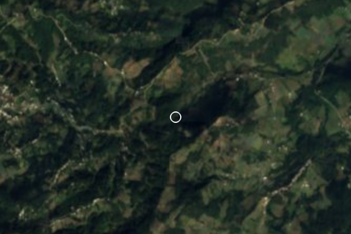
Waterfall Alpatláhuac, Veracruz Altas Montañas (Orizaba and Córdoba)
A tall waterfall pouring off a forested hill near Alpatláhuac, with views of the volcano, trails and space to camp.
From Córdoba: 50 min by car (42 km by road) How to get there ↓
Near here
See everything nearby ↓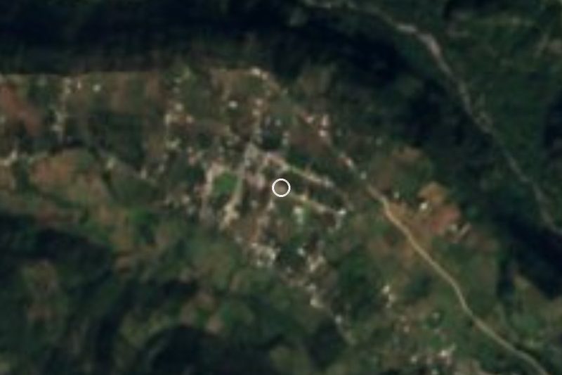


Plan your visit to Cascada de Cocalzingo
Where to stay near Cascada de Cocalzingo
Coscomatepec, 8 km away, is the closest town with places to stay.
Ecos del Viento Hotel · 7.1 km from the center Prices Hotel-Ito Hotel · 7.2 km from the center PricesTours to Cascada de Cocalzingo
Day trips and guided outings from Coscomatepec often include Cascada de Cocalzingo; with a local guide you can get there without a car.
How to get to Cascada de Cocalzingo
- From Córdoba: about 50 min by road (~42 km)
- 8 km northwest of Coscomatepec
- Nearest airport: Veracruz (VER), 1 h 50 min by car to Coscomatepec
Links open a partner site. We may earn a commission if you book, at no cost to you.
About Cascada de Cocalzingo
The Cascada de Cocalzingo pours down the side of Cerro de los Gentiles, a forested hill in the municipality of Alpatláhuac, just north of Coscomatepec. It is a tall, narrow fall that you can see from a distance, and it sits in the high, misty country on the slopes of the Pico de Orizaba, among coffee plantations, pine forest and small farming villages. People in the region like to compare the landscape to Switzerland.
The waterfall is about three kilometers from the town of Alpatláhuac, on the road toward Ayahualulco. Pre-Hispanic objects have been found on the hill it falls from, a reminder that people have lived on these slopes for a very long time.
Around the falls, a local ecotourism center offers a zip line, rappelling, suspension bridges, horseback rides and cabins, and you can also camp. The flow is strongest in the rainy season, roughly June to October. In Alpatláhuac itself, the church of Santa María Magdalena celebrates its patron saint on July 22.
How to get to Cascada de Cocalzingo
Drive from Córdoba: 50 min, 42 km
From Coscomatepec, take the paved mountain road north to Alpatláhuac, about 20 to 30 minutes, then continue roughly three kilometers toward Ayahualulco. Rural colectivos serve Alpatláhuac from Coscomatepec. Fog and rain are common, so drive carefully and bring a rain jacket.
8 km northwest of Coscomatepec
Directions from Coscomatepec on Google Maps
Distances are in a straight line; the road is usually longer.
Links open a partner site. We may earn a commission if you book, at no cost to you.
From the nearest cities to Cascada de Cocalzingo
- Córdoba · 42 km by road, 50 min
- Orizaba · 51 km by road, 55 min
- Teziutlán · about 110 km by road, ~1 h 35 min
Drive times by road from OpenStreetMap, without traffic or stops. Times marked ~ are estimated from the straight-line distance.
Before you go to Cascada de Cocalzingo: hours, prices and tips
- Entry
- Entry is 20 pesos per person; camping is allowed at the site. Food and Pleasure (Jun 2026) · checked Oct 2026
- Best season
- June to October is the best time, when the heavy rains make the fall at its fullest. Food and Pleasure · checked Oct 2026
- What to bring
- Cash (not every place takes cards), light thermal layers and proper mountain footwear for the trails. El Imparcial (Feb 2026) · checked Oct 2026
Hours and prices change, especially around holidays. Each fact links to where we checked it.
Visiting Cascada de Cocalzingo: what to see and do
Walk the trail to the foot of the waterfall; a small entry fee is usually charged.
Try the zip line, rappelling or suspension bridges at the ecotourism center.
Camp or stay in a cabin to see the mountains at dawn.
Stop in Alpatláhuac to see the church of Santa María Magdalena and try local coffee.
Plan your trip
Places to stay in Cascada de Cocalzingo
Compare hotels, posadas, and rentals in and around Cascada de Cocalzingo.
Tours & activities
Day trips and guided outings from Coscomatepec often include Cascada de Cocalzingo; with a local guide you can get there without a car.
Rental cars
Pick up a car at VER (Veracruz): about 1 h 50 min by road to Coscomatepec, then 8 km more to Cascada de Cocalzingo, on your own schedule.
Flights
The nearest airport with scheduled flights is Veracruz (VER), about 1 h 50 min by road from Coscomatepec, the base for Cascada de Cocalzingo.
Travel insurance
If you plan on swimming and hiking at Cascada de Cocalzingo, check that your policy covers it: some plans leave adventure activities out.
Mobile data
Signal can drop away from Coscomatepec: download a map of the way to Cascada de Cocalzingo before you set out, or carry an eSIM with data.
Links open a partner site. We may earn a commission if you book, at no cost to you.
When to go to Cascada de Cocalzingo mild
Cascada de Cocalzingo shares the climate of Coscomatepec, 8 km away. The best months to visit are February, March, April, and December.
Waterfalls like Cascada de Cocalzingo run fullest in the rainiest months here (June, August, and September) and can thin out at the end of the dry season (February, March, and December).
See the month-by-month climate of Coscomatepec
Weather in Cascada de Cocalzingo now and the next 7 days
Live forecast from Open-Meteo. Chance of rain is the day's highest.
Make Coscomatepec your base

Cascada de Cocalzingo is an easy trip from Coscomatepec, a Pueblo Mágico with places to stay, food, and more to see.
Also close to
Closest to Cascada de Cocalzingo
-
Cruz Verde · Village · 4 km away · Veracruz
-
San José · Village · 11 km away · Puebla
-
Chichiquila · Village · 12 km away · Puebla
-
Chilapa · Village · 13 km away · Veracruz
-
Tomatlán · Town · 14 km away · Veracruz
-
Huatusco · Town · 17 km away
-
Quimixtlán · Village · 17 km away · Puebla
-
Chilchotla · Town · 18 km away · Puebla
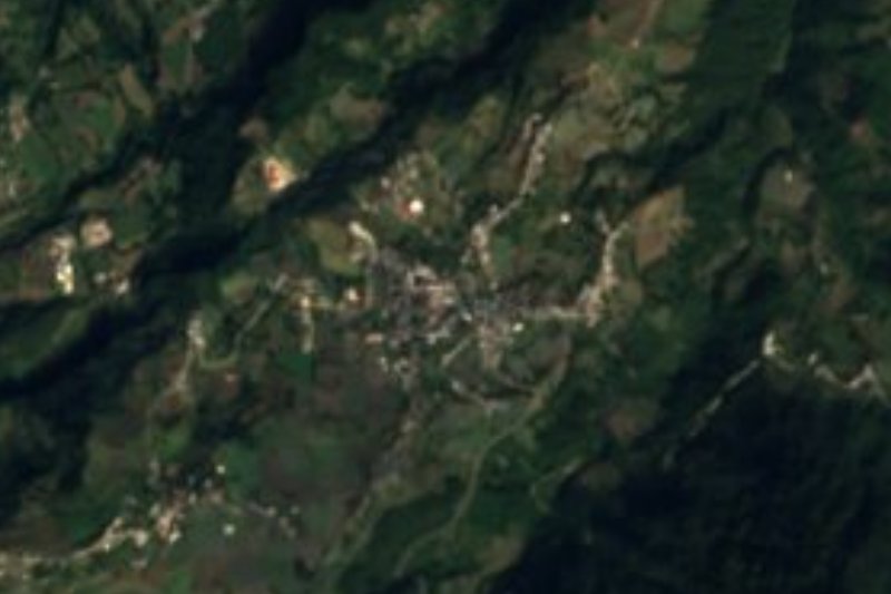

Near Cascada de Cocalzingo


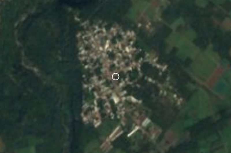


Drive times by road from OpenStreetMap, without traffic. Times marked ~ are estimated from the straight-line distance.
Lists with Cascada de Cocalzingo
Waterfalls in Veracruz · 6 Waterfalls near Coscomatepec · 5 Waterfalls near Orizaba · 3 Waterfalls near Córdoba · 4 Waterfalls near Xico · 5 Waterfalls near Xalapa · 4Something wrong or missing on this page? Suggest a fix or addition
Location from OpenStreetMap. Written by Puebloteca.