Village Chichiquila, Puebla Altas Montañas (Orizaba and Córdoba)
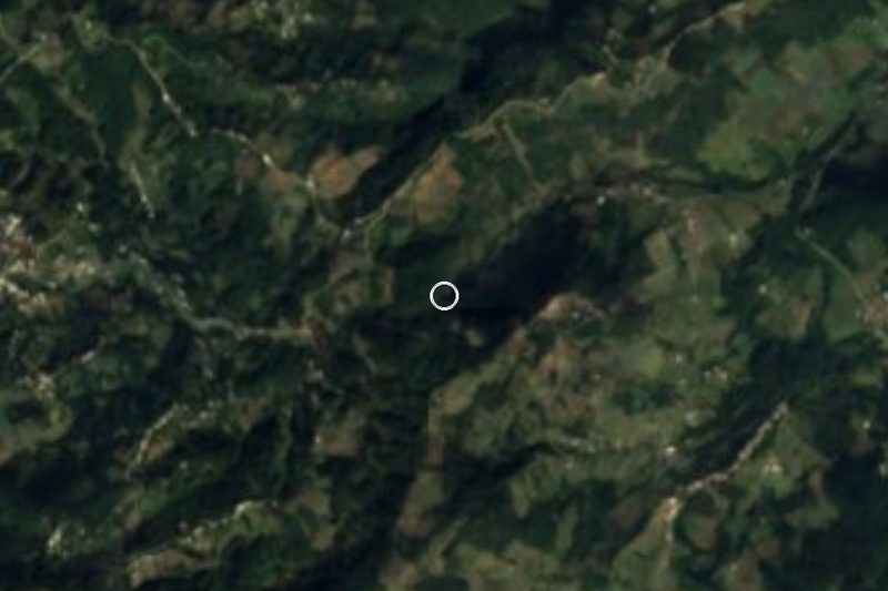
Hamlet of Chichiquila beside the municipal seat, on the humid slopes of Pico de Orizaba that drop toward Veracruz.
From Córdoba: 1 h 10 min by car (67 km by road) How to get there ↓
Near here
See everything nearby ↓


Plan your visit to San José
Where to stay near San José
Compare hotels, posadas and guest houses in San José.
Tours to San José
Day trips and guided outings from Coscomatepec often include San José; with a local guide you can get there without a car.
 Tours from Veracruz
Private Sunrise Taj Mahal Tour from Delhi By Car -All inclusive
★ 5.0 (549) · From US$14
How to get to San José
- From Córdoba: about 1 h 10 min by road (~67 km)
- Nearest airport: Veracruz (VER), 1 h 50 min by car to Coscomatepec
Links open a partner site. We may earn a commission if you book, at no cost to you.
Tours from Veracruz, near San José


Tours, prices and ratings from Viator, checked weekly. We may earn a commission if you book.
About San José
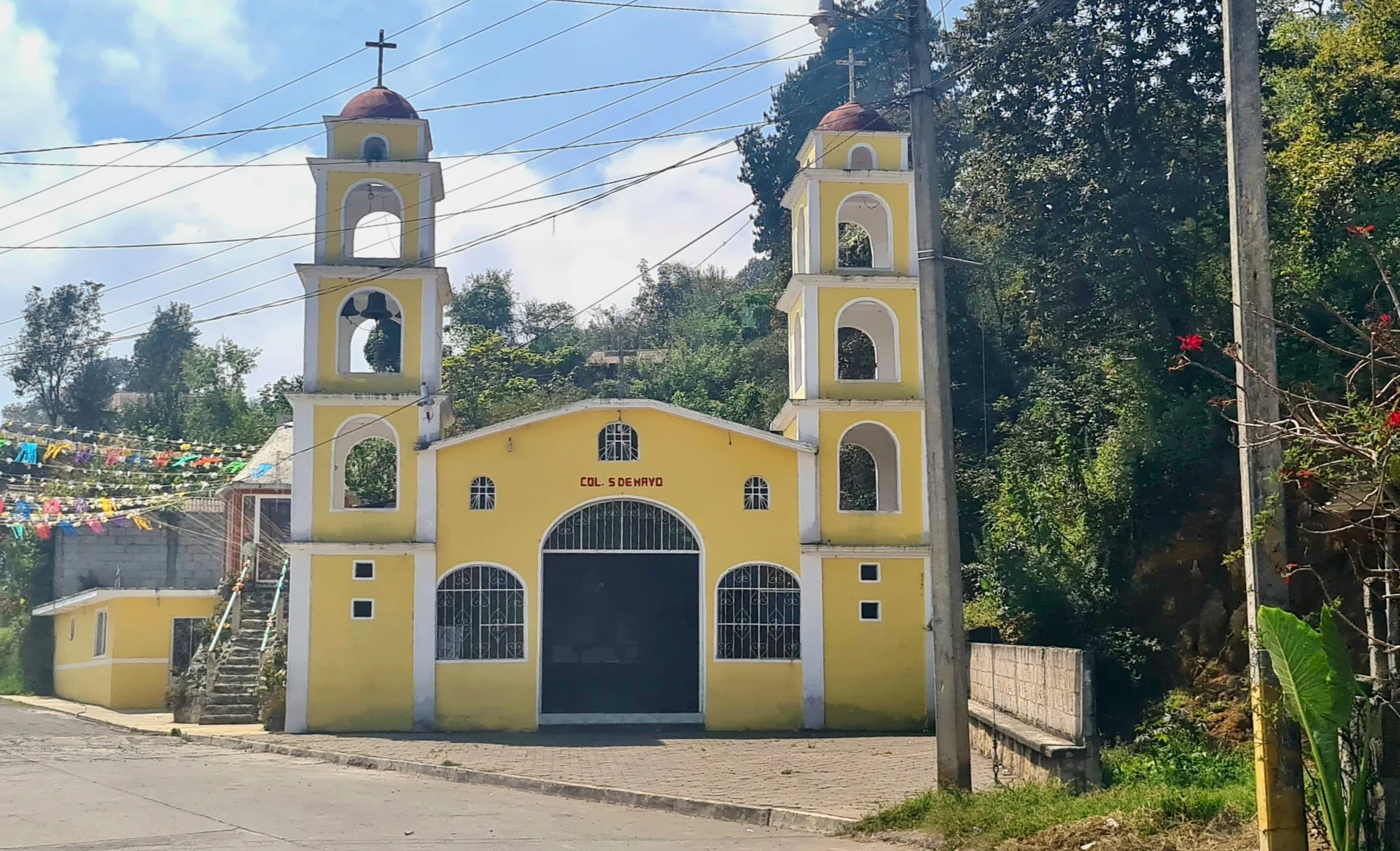
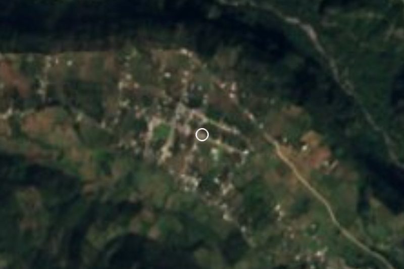
San José is a hamlet of 131 people (2020) right next to Chichiquila, the municipal seat, less than a kilometre from its centre and at about 1,830 m. The photo shows Avenida Morelos in Chichiquila, with its church, a short walk away.
Here you are already on the Gulf side. Most of the municipality is semi-warm and humid all year, averaging 17 to 19 °C with some 1,900 to 2,000 mm of rain, far more than the Puebla plateau. Water flows not to the Atoyac but to the Papaloapan, via the Decozalapa and Jamapa rivers; the Tilapa runs all year, joined in season by streams such as the Axala, Coxolijapa, Ixteapa and Otlapa. More than two fifths of the land is still forest and the rest is farmed.
Over 3,000 speakers of indigenous languages live in the municipality, mostly Nahuatl. Craftspeople make scrubbing brushes from zacatón grass root and work timber for building. On the table are mole poblano, chileatole and peach and apple preserves, and the local drink is aguardiente steeped with peach, pear, apple and capulín cherries. Religious festivals are played by brass bands, and the parish church of San Mateo in the seat dates from the 16th century.
How to get to San José
Drive from Córdoba: 1 h 10 min, 67 km
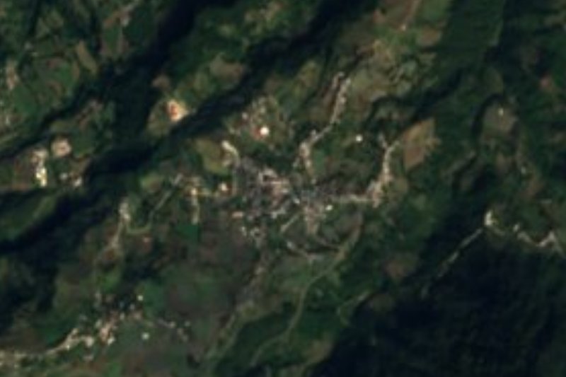
San José lies beside Chichiquila at the eastern edge of Puebla, about 120 km in a straight line from the capital. From Puebla, take the Orizaba highway, then mountain roads via Ciudad Serdán and Quimixtlán; from Veracruz, come via Coscomatepec or Huatusco.
Directions to San José on Google Maps
Distances are in a straight line; the road is usually longer.
Links open a partner site. We may earn a commission if you book, at no cost to you.
From the nearest cities to San José
- Córdoba · 67 km by road, 1 h 10 min
- Orizaba · 76 km by road, 1 h 15 min
- Xalapa · 83 km by road, 1 h 45 min
Drive times by road from OpenStreetMap, without traffic or stops. Times marked ~ are estimated from the straight-line distance.
Visiting San José: what to see and do
Central Chichiquila and the 16th-century church of San Mateo.
The humid forests on the flank of Pico de Orizaba.
Coscomatepec in Veracruz, about 14 km away.
Plan your trip
Places to stay in San José
Compare hotels, posadas, and rentals in and around San José.
Tours & activities
Day trips and guided outings from Coscomatepec often include San José; with a local guide you can get there without a car.
Rental cars
Pick up a car at VER (Veracruz): about 1 h 50 min by road to Coscomatepec, then 14 km more to San José, on your own schedule.
Flights
The nearest airport with scheduled flights is Veracruz (VER), about 1 h 50 min by road from Coscomatepec, the base for San José.
Mobile data
Signal can drop away from Coscomatepec: download a map of the way to San José before you set out, or carry an eSIM with data.
Links open a partner site. We may earn a commission if you book, at no cost to you.
When to go to San José mild
San José shares the climate of Coscomatepec, 14 km away. The best months to visit are February, March, April, and December.
See the month-by-month climate of Coscomatepec
Weather in San José now and the next 7 days
Live forecast from Open-Meteo. Chance of rain is the day's highest.
The closest Pueblo Mágico: Coscomatepec

Coscomatepec is the Pueblo Mágico closest to San José, with places to stay, food, and more to see.
Also close to
Closest to San José
-
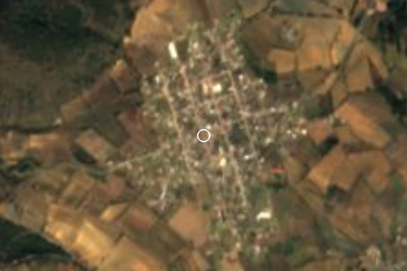
Chichiquila · Village · 1 km away
-
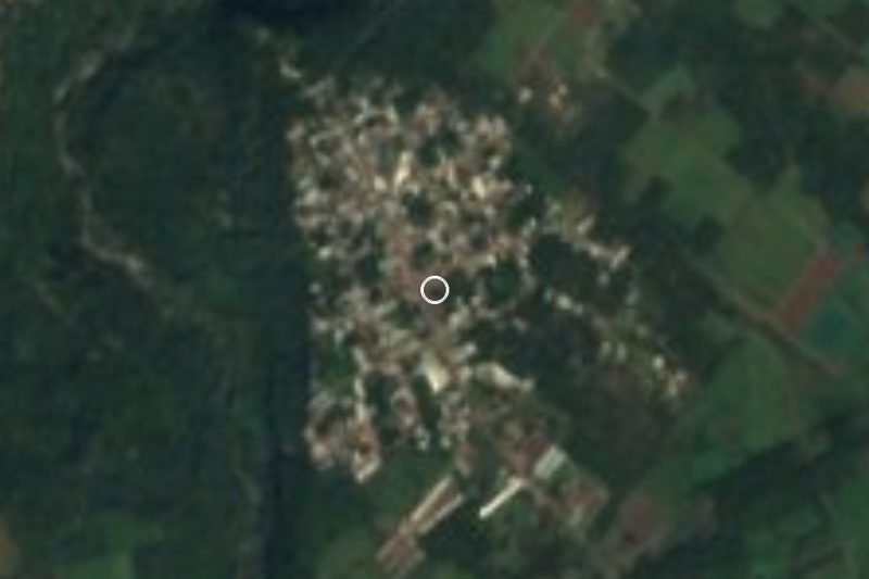
Cruz Verde · Village · 7 km away
-
Quimixtlán · Village · 9 km away
-
Cascada de Cocalzingo · Waterfall · 11 km away
-
Ohuapan · Village · 11 km away
-
Huatusco · Town · 12 km away
-
Chilchotla · Town · 14 km away
-
Tomatlán · Town · 19 km away


Near San José






Drive times by road from OpenStreetMap, without traffic. Times marked ~ are estimated from the straight-line distance.
Location from OpenStreetMap. Written by Puebloteca.