
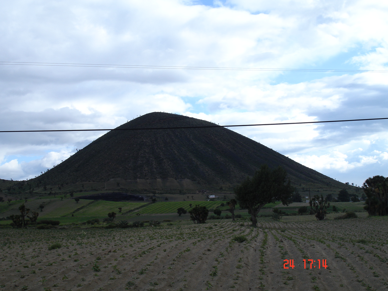
Town Guadalupe Victoria, Puebla Municipality of Guadalupe Victoria
Town on the Llanos de San Juan, also called Huecapan, at the foot of Las Derrumbadas near the crater lakes of Atexcac and La Preciosa.
From Huamantla: 1 h 5 min by car (72 km by road) How to get there ↓
Near here
See everything nearby ↓




Plan your visit to Guadalupe Victoria
Where to stay near Guadalupe Victoria
Compare hotels, posadas and guest houses in Guadalupe Victoria.
Tours to Guadalupe Victoria
Day trips around Xico sometimes stop in Guadalupe Victoria; a tour is the easy way to see it without a car.
 Tours from Puebla City
Africam Safari Zoo Admission with Transportation
★ 4.8 (87) · From US$35
How to get to Guadalupe Victoria
- From Huamantla: about 1 h 5 min by road (~72 km)
- Nearest airport: Veracruz (VER), 1 h 44 min by car to Xico
Links open a partner site. We may earn a commission if you book, at no cost to you.
Tours from Puebla City, near Guadalupe Victoria


Tours, prices and ratings from Viator, checked weekly. We may earn a commission if you book.
About Guadalupe Victoria
Guadalupe Victoria is the seat of the municipality of the same name in eastern Puebla. The name honours Guadalupe Victoria, Mexico's first president; the municipality is also called Huecapan, from the Nahuatl huey, big, calli, house, and pa: "in the big house". The town had 11,835 people in 2020 and stands at about 2,445 m.
The municipality lies on the Llanos de San Juan, the closed basin of the Trans-Mexican Volcanic Belt that holds the region's crater lakes. To the east rises the Sierra de Quimixtlán, with isolated hills such as Tetillán, Cristo Rey, El Rodeo, El Aire and Jesús. A ridge over 7 km long, running from the La Preciosa crater lake to the north of Laguna de Atexcac, rises more than 200 m above the valley; along it are Cerro Siete Cuevas, the Cerro Pinto massif, the northernmost spurs of Las Derrumbadas and the small hills between Nuevo Termel and Atexcac.
People farm beans, maize, broad beans and wheat, potatoes, and alfalfa and barley for fodder. They raise cattle, pigs, goats, donkeys, rabbits and poultry, and beekeepers produce a prized honey. The town has ironworks, brickworks, block makers and bakeries. For travellers, Guadalupe Victoria is the nearest base for Laguna de Atexcac and the climb up Las Derrumbadas.
How to get to Guadalupe Victoria
Drive from Huamantla: 1 h 5 min, 72 km
Guadalupe Victoria lies in eastern Puebla near federal highway 140 (Tepeaca–Veracruz); from highway 140 a road leads to Guadalupe Victoria and Tlachichuca, the same road that passes Laguna de Atexcac. Puebla city is about 95 km away in a straight line and Xalapa in Veracruz about 53 km.
Directions to Guadalupe Victoria on Google Maps
Distances are in a straight line; the road is usually longer.
Links open a partner site. We may earn a commission if you book, at no cost to you.
From the nearest cities to Guadalupe Victoria
- Huamantla · 72 km by road, 1 h 5 min
- Xalapa · 94 km by road, 1 h 25 min
- Teziutlán · 93 km by road, 1 h 30 min
Drive times by road from OpenStreetMap, without traffic or stops. Times marked ~ are estimated from the straight-line distance.
Visiting Guadalupe Victoria: what to see and do
Laguna de Atexcac, the municipality's crater lake.
Las Derrumbadas, the volcanic domes to the south.
La Preciosa crater lake and the ridge linking it to Atexcac.
The hill above Guadalupe Victoria.
Plan your trip
Places to stay in Guadalupe Victoria
Compare hotels, posadas, and rentals in and around Guadalupe Victoria.
Tours & activities
Day trips around Xico sometimes stop in Guadalupe Victoria; a tour is the easy way to see it without a car.
Rental cars
Pick up a car at VER (Veracruz): about 1 h 44 min by road to Xico, then 39 km more to Guadalupe Victoria, on your own schedule.
Flights
The nearest airport with scheduled flights is Veracruz (VER), about 1 h 44 min by road from Xico, the base for Guadalupe Victoria.
Mobile data
Signal can drop away from Xico: download a map of the way to Guadalupe Victoria before you set out, or carry an eSIM with data.
Links open a partner site. We may earn a commission if you book, at no cost to you.
When to go to Guadalupe Victoria mild
Guadalupe Victoria shares the climate of Xico, 39 km away. The best months to visit are February, March, April, and May.
See the month-by-month climate of Xico
Weather in Guadalupe Victoria now and the next 7 days
Live forecast from Open-Meteo. Chance of rain is the day's highest.
The closest Pueblo Mágico: Xico

Xico is the Pueblo Mágico closest to Guadalupe Victoria, with places to stay, food, and more to see.
Also close to
- Coscomatepec · Veracruz · 39 km away
- Coatepec · Veracruz · 44 km away
- Orizaba · Veracruz · 55 km away
- Huamantla · Tlaxcala · 61 km away
- Córdoba · Veracruz · 62 km away
Closest to Guadalupe Victoria
-
San Agustín · Village · 1 km away
-
Saltillo · Village · 5 km away
-
Tlanalapan · Village · 8 km away
-
González Ortega · Village · 10 km away
-
Chichicuautla · Village · 12 km away
-
Laguna de Atexcac · Lake · 12 km away
-
Las Derrumbadas · Mountain · 12 km away
-
La Gloria · Village · 13 km away


Near Guadalupe Victoria



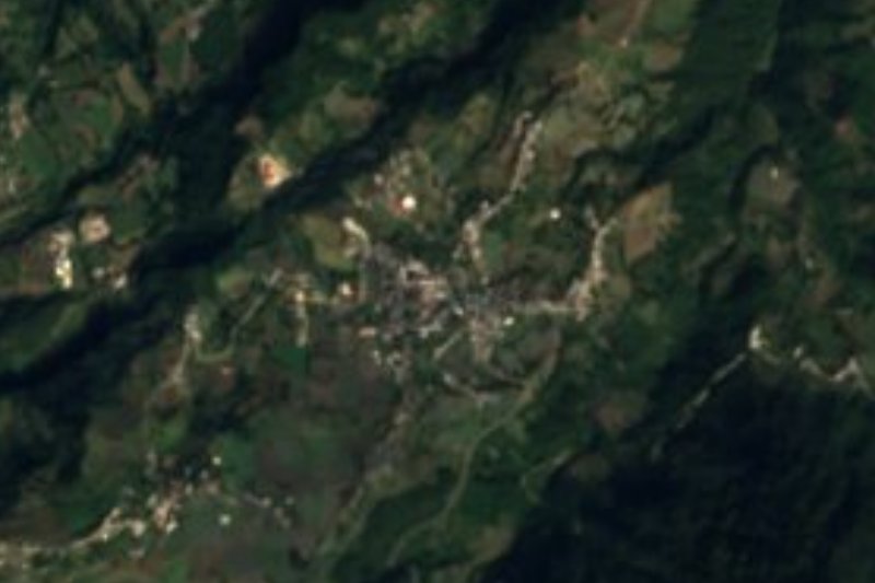


Drive times by road from OpenStreetMap, without traffic. Times marked ~ are estimated from the straight-line distance.
Location from OpenStreetMap. Written by Puebloteca.