Village Tepeyahualco, Puebla Municipality of Tepeyahualco
Tepeyahualco village at 2,337 m on the dry plains of eastern Puebla, a short way from salty Lake Alchichica and not far from Cantona.
From Huamantla: 1 h by car (68 km by road) How to get there ↓
Near here
See everything nearby ↓


Plan your visit to Chichicuautla
Where to stay near Chichicuautla
Compare hotels, posadas and guest houses in Chichicuautla.
Tours to Chichicuautla
Day trips and guided outings from Xico often include Chichicuautla; with a local guide you can get there without a car.
 Tours from Puebla City
Africam Safari Zoo Admission with Transportation
★ 4.8 (87) · From US$35
How to get to Chichicuautla
- From Huamantla: about 1 h by road (~68 km)
- Nearest airport: Veracruz (VER), 1 h 44 min by car to Xico
Links open a partner site. We may earn a commission if you book, at no cost to you.
Tours from Puebla City, near Chichicuautla


Tours, prices and ratings from Viator, checked weekly. We may earn a commission if you book.
About Chichicuautla
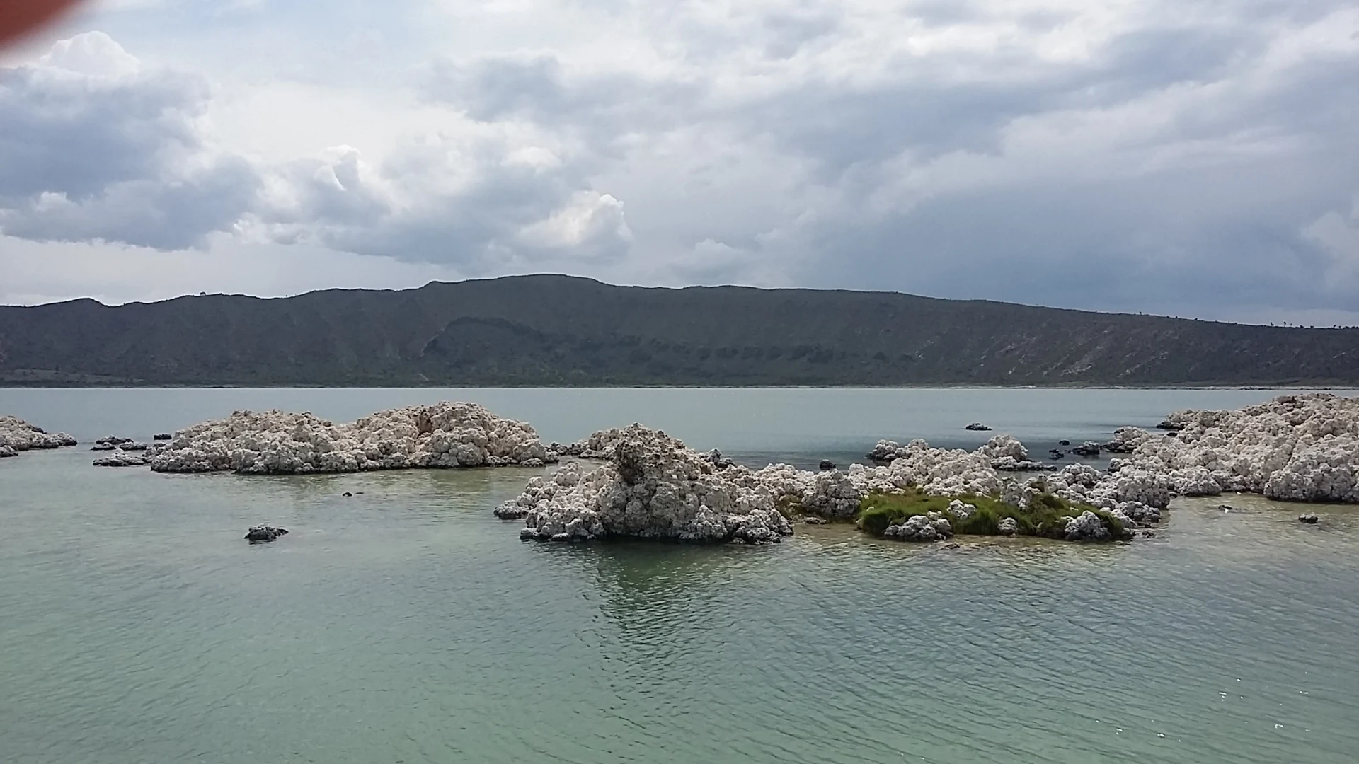
Less than three kilometres from the houses of Chichicuautla lies the turquoise water of Alchichica, a lake inside a volcanic crater about 2 km across and up to roughly 60 metres deep. Its water is very salty and rich in magnesium; along the shore stand stromatolites, white crusts that look like stone or coral and rank among the oldest forms of life on Earth, and the lake is home to an endangered axolotl found nowhere else. Swimming is not advised because of the salt, but walking the rim and picnicking are fine, as long as you take your rubbish with you.
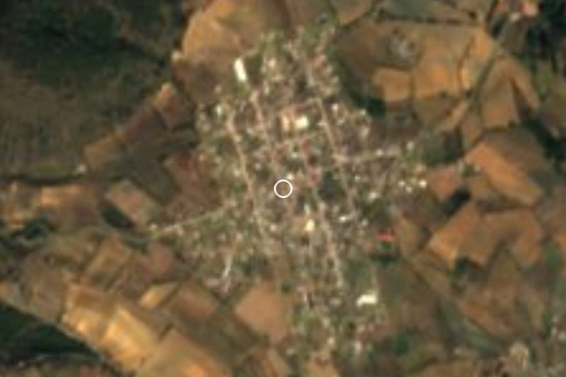
The village belongs to Tepeyahualco, in the east of the state near the Veracruz line. It sits at 2,337 metres and had 2,316 residents in 2020, about 470 more than a decade earlier. Its Nahuatl name combines chichic, bitter, cuauhtli, tree, and tlan, abundance: "where bitter trees abound". This is Llanos de San Juan country: flat ground broken by the odd lone hill, a cool semi-arid climate averaging 12 to 16 °C and only 300 to 700 mm of rain a year. Streams run only part of the year and drain into the closed basin of Lake Totolzingo. Almost half the municipality is farmed; the rest is grassland, scrub and some forest.
Tepeyahualco was founded by Viceroy Gastón de Peralta in 1556, but its great treasure is far older: Cantona, a pre-Hispanic city with a site museum, whose ruins point to people of Olmec, Teotihuacan, Nahua and Maya roots. Hacienda shells also survive, such as San José Tizaco, from 1891, San Roque, begun in 1847 with solid stone and timber from the Cofre de Perote, Micuautla and San Antonio Alchichica. Local cooking means mutton barbacoa, fava bean soup, grilled or batter-fried nopales, fava gorditas and rabbit stew, with pulque or aguamiel; for something sweet, tlaxcales of young corn and buñuelos. Clay pots are made in the municipality, and religious festivals are played with brass band, violin and flute.
How to get to Chichicuautla
Drive from Huamantla: 1 h, 68 km
Chichicuautla is about 94 km in a straight line from Puebla city, 41 km from Xico and 53 km from Xalapa. By car, leave Puebla on highway 150 toward Veracruz and at Amozoc take federal road 129 north to Oriental; the lake lies by kilometre 140 of the Mexico–Veracruz road, under two hours from Puebla city. We found no documented bus line into the village itself; the practical option is to reach Oriental or Tepeyahualco and ask there about local transport.
Directions to Chichicuautla on Google Maps
Distances are in a straight line; the road is usually longer.
Links open a partner site. We may earn a commission if you book, at no cost to you.
From the nearest cities to Chichicuautla
- Huamantla · 68 km by road, 1 h
- Xalapa · 77 km by road, 1 h 5 min
- Teziutlán · 75 km by road, 1 h 10 min
Drive times by road from OpenStreetMap, without traffic or stops. Times marked ~ are estimated from the straight-line distance.
Visiting Chichicuautla: what to see and do
Lake Alchichica: the crater, the turquoise water and the white stromatolites on the shore.
The Cantona archaeological site, in the same municipality.
The hacienda shells of San Roque and San José Tizaco.
Plan your trip
Places to stay in Chichicuautla
Compare hotels, posadas, and rentals in and around Chichicuautla.
Tours & activities
Day trips and guided outings from Xico often include Chichicuautla; with a local guide you can get there without a car.
Rental cars
Pick up a car at VER (Veracruz): about 1 h 44 min by road to Xico, then 41 km more to Chichicuautla, on your own schedule.
Flights
The nearest airport with scheduled flights is Veracruz (VER), about 1 h 44 min by road from Xico, the base for Chichicuautla.
Mobile data
Signal can drop away from Xico: download a map of the way to Chichicuautla before you set out, or carry an eSIM with data.
Links open a partner site. We may earn a commission if you book, at no cost to you.
When to go to Chichicuautla mild
Chichicuautla shares the climate of Xico, 41 km away. The best months to visit are February, March, April, and May.
See the month-by-month climate of Xico
Weather in Chichicuautla now and the next 7 days
Live forecast from Open-Meteo. Chance of rain is the day's highest.
The closest Pueblo Mágico: Xico

Xico is the Pueblo Mágico closest to Chichicuautla, with places to stay, food, and more to see.
Also close to
- Coatepec · Veracruz · 46 km away
- Coscomatepec · Veracruz · 51 km away
- Teziutlán · Puebla · 52 km away
- Tlatlauquitepec · Puebla · 52 km away
- Huamantla · Tlaxcala · 56 km away
Closest to Chichicuautla
-
Laguna de Atexcac · Lake · 8 km away
-
Guadalupe Victoria · Town · 12 km away
-
La Gloria · Village · 12 km away
-
San Agustín · Village · 12 km away
-
Las Derrumbadas · Mountain · 13 km away
-
Cerro Pizarro · Mountain · 14 km away
-
González Ortega · Village · 14 km away
-
Saltillo · Village · 14 km away

Near Chichicuautla


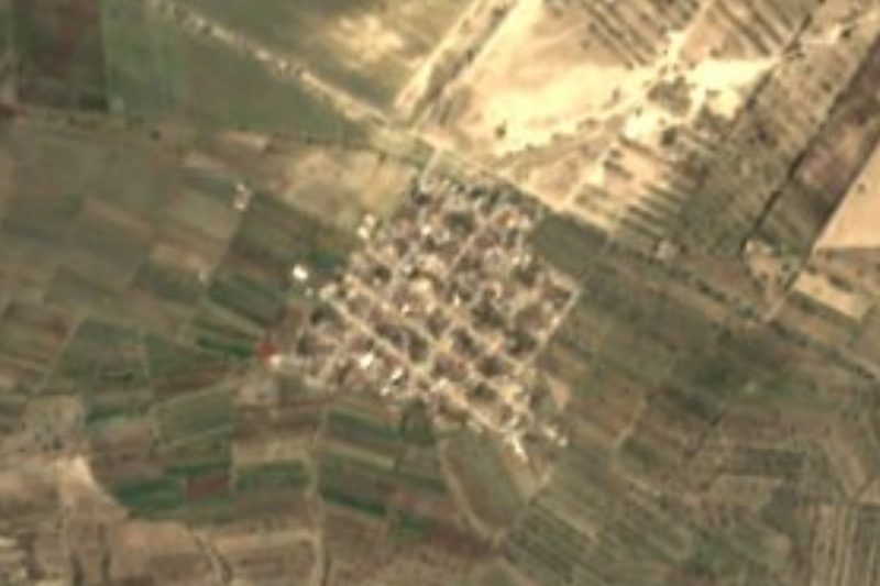


Drive times by road from OpenStreetMap, without traffic. Times marked ~ are estimated from the straight-line distance.
Location from OpenStreetMap. Written by Puebloteca.