
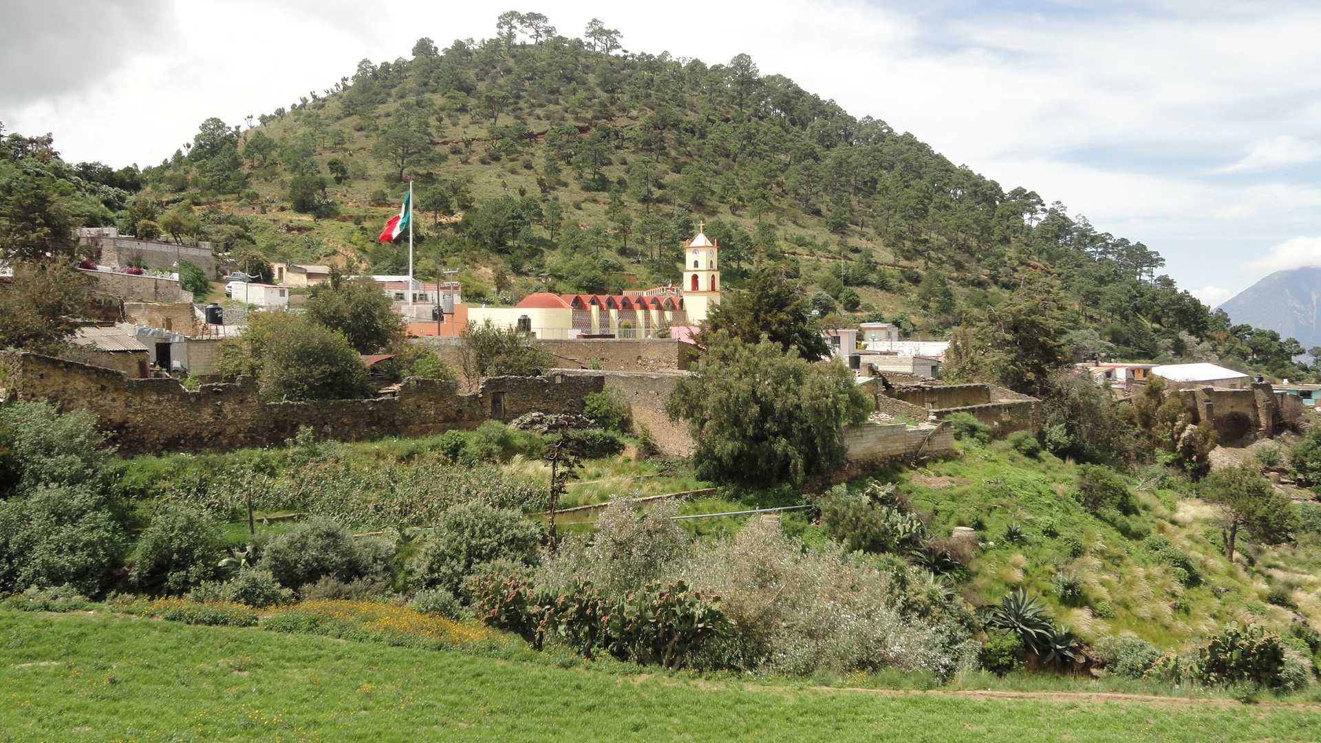
Village Lafragua, Puebla Municipality of Lafragua
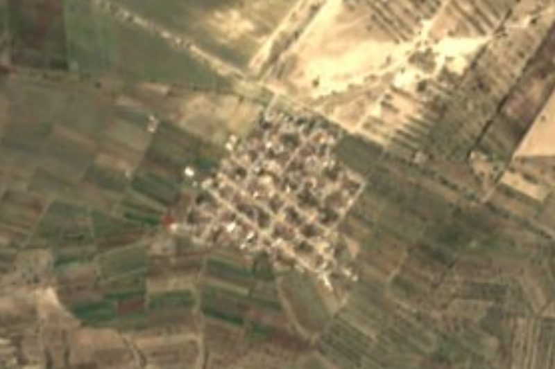
Seat of Lafragua municipality at nearly 2,850 m in the Sierra Madre Oriental, named for a small waterfall.
From Huamantla: 1 h 15 min by car (79 km by road) How to get there ↓
Near here
See everything nearby ↓



Plan your visit to Saltillo
Where to stay near Saltillo
Compare hotels, posadas and guest houses in Saltillo.
Tours to Saltillo
Day trips and guided outings from Xico often include Saltillo; with a local guide you can get there without a car.
 Tours from Puebla City
Africam Safari Zoo Admission with Transportation
★ 4.8 (87) · From US$35
How to get to Saltillo
- From Huamantla: about 1 h 15 min by road (~79 km)
- Nearest airport: Veracruz (VER), 1 h 44 min by car to Xico
Links open a partner site. We may earn a commission if you book, at no cost to you.
Tours from Puebla City, near Saltillo


Tours, prices and ratings from Viator, checked weekly. We may earn a commission if you book.
About Saltillo
This Saltillo has nothing to do with the one in Coahuila: its name comes from the Nahuatl Atlcholoa, water that drips, and refers to the small drop of water in the ravine running through the middle of the village. It is the seat of Lafragua municipality in eastern Puebla, at about 2,845 metres; it had 761 residents in 2010. The municipality covers about 181 km² and climbs from 2,320 to 3,900 metres, pressed against Veracruz on the north and northeast.
Local history speaks of Nahuas and Totonacs settled at a place called Los Cinco Sitios, at Ameyalco, which answered to San Pedro Chilchotla. By around 1890 it was officially Saltillo Lafragua, after the Puebla jurist José María Lafragua. On 5 May 1895 it became a free municipality, with José de Jesús Gómez as first president. The Revolution followed and, in 1920, a strong earthquake finished off the seat; many residents moved to the Hacienda de Huecapan and called it Saltillo Nuevo, which is why the original village is known as Saltillo Viejo.
The municipal festival calendar includes 19 March (San José, patron-saint fiesta), 15 May (San Isidro), 12 October at Tlanalapan, 28 October (San Judas Tadeo), All Saints on 1 and 2 November, and the Virgen de Guadalupe on 12 December.
How to get to Saltillo
Drive from Huamantla: 1 h 15 min, 79 km
Saltillo lies at the far eastern edge of Puebla, in the Sierra Madre Oriental, and Lafragua municipality borders Guadalupe Victoria to the west, Tlachichuca to the south, Chilchotla to the east and, to the north, the Veracruz municipalities of Perote and Ayahualulco. Its federal district is seated in Ciudad Serdán, the most practical reference for getting here. In a straight line, Xico (Veracruz) is about 34 km away and Xalapa about 48 km (approx. 40 and 55 minutes, estimated), though mountain roads usually lengthen the trip. No fixed bus or colectivo timetable to the seat is published: ask at the terminals in Ciudad Serdán, Guadalupe Victoria or Perote, or at Puebla's CAPU, about the day's departures, and check the last return time. At nearly 2,850 m, bring a warm layer all year.
Directions to Saltillo on Google Maps
Distances are in a straight line; the road is usually longer.
Links open a partner site. We may earn a commission if you book, at no cost to you.
From the nearest cities to Saltillo
- Huamantla · 79 km by road, 1 h 15 min
- Xalapa · 101 km by road, 1 h 35 min
- Teziutlán · 100 km by road, 1 h 40 min
Drive times by road from OpenStreetMap, without traffic or stops. Times marked ~ are estimated from the straight-line distance.
Before you go to Saltillo: hours, prices and tips
- Best season
- Municipal fiestas: 19 March (San José, patron saint), 15 May (San Isidro), 28 October (San Judas Tadeo), 1-2 November (All Saints), 12 December (Virgen de Guadalupe). Wikipedia · checked Oct 2026
Hours and prices change, especially around holidays. Each fact links to where we checked it.
Visiting Saltillo: what to see and do
The small waterfall in the ravine that crosses the village
Saltillo's church, seen in the village's panoramic photo
Saltillo Nuevo, on the old Hacienda de Huecapan
Mountain scenery between 2,300 and 3,900 m on the Veracruz line
Plan your trip
Places to stay in Saltillo
Compare hotels, posadas, and rentals in and around Saltillo.
Tours & activities
Day trips and guided outings from Xico often include Saltillo; with a local guide you can get there without a car.
Rental cars
Pick up a car at VER (Veracruz): about 1 h 44 min by road to Xico, then 34 km more to Saltillo, on your own schedule.
Flights
The nearest airport with scheduled flights is Veracruz (VER), about 1 h 44 min by road from Xico, the base for Saltillo.
Mobile data
Signal can drop away from Xico: download a map of the way to Saltillo before you set out, or carry an eSIM with data.
Links open a partner site. We may earn a commission if you book, at no cost to you.
When to go to Saltillo mild
Saltillo shares the climate of Xico, 34 km away. The best months to visit are February, March, April, and May.
See the month-by-month climate of Xico
Weather in Saltillo now and the next 7 days
Live forecast from Open-Meteo. Chance of rain is the day's highest.
The closest Pueblo Mágico: Xico

Xico is the Pueblo Mágico closest to Saltillo, with places to stay, food, and more to see.
Also close to
- Coscomatepec · Veracruz · 36 km away
- Coatepec · Veracruz · 40 km away
- Orizaba · Veracruz · 54 km away
- Córdoba · Veracruz · 59 km away
- Naolinco · Veracruz · 60 km away
Closest to Saltillo
-
Guadalupe Victoria · Town · 5 km away
-
San Agustín · Village · 5 km away
-
González Ortega · Village · 6 km away
-
Tlanalapan · Village · 6 km away
-
La Gloria · Village · 11 km away
-
Chilchotla · Town · 13 km away
-
Chichicuautla · Village · 14 km away
-
Laguna de Atexcac · Lake · 16 km away


Near Saltillo

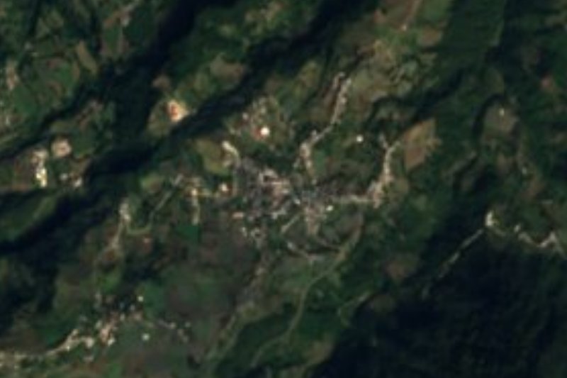
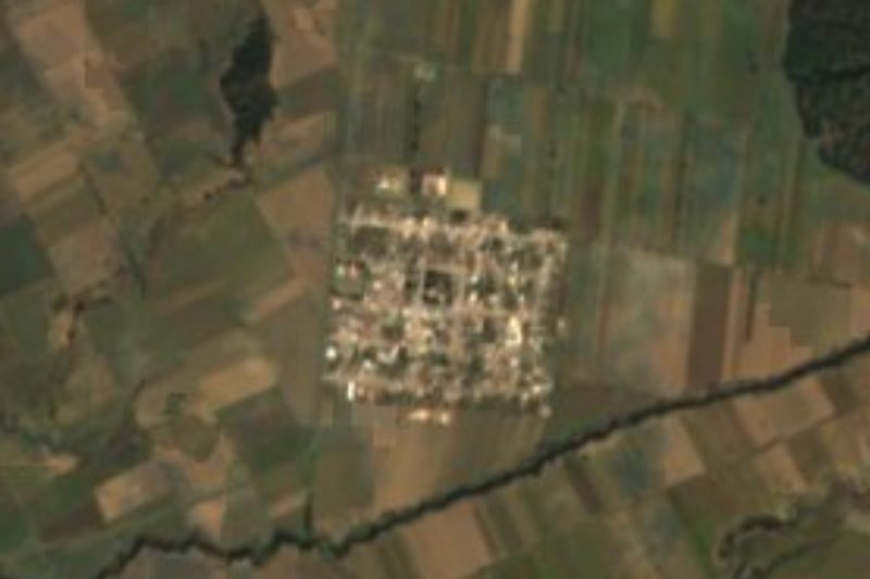


Drive times by road from OpenStreetMap, without traffic. Times marked ~ are estimated from the straight-line distance.
Location from OpenStreetMap. Written by Puebloteca.