Village Lafragua, Puebla Municipality of Lafragua
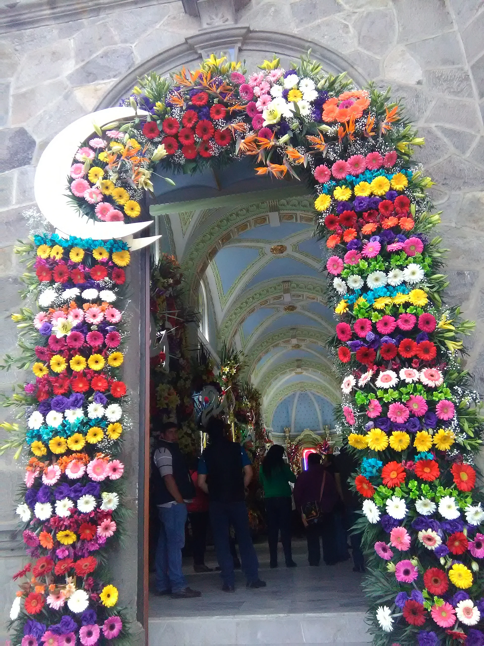
Village of Lafragua at almost 3,000 m on the Veracruz line, "land across the river", whose church of San Rafael is decked with festival arches.
From Huamantla: 1 h 20 min by car (86 km by road) How to get there ↓
Near here
See everything nearby ↓


Plan your visit to Tlanalapan
Where to stay near Tlanalapan
Compare hotels, posadas and guest houses in Tlanalapan.
Tours to Tlanalapan
Day trips and guided outings from Coscomatepec often include Tlanalapan; with a local guide you can get there without a car.
How to get to Tlanalapan
- From Huamantla: about 1 h 20 min by road (~86 km)
- Nearest airport: Veracruz (VER), 1 h 50 min by car to Coscomatepec
Links open a partner site. We may earn a commission if you book, at no cost to you.
About Tlanalapan
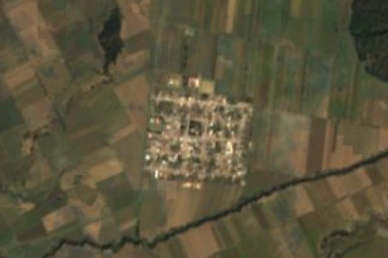
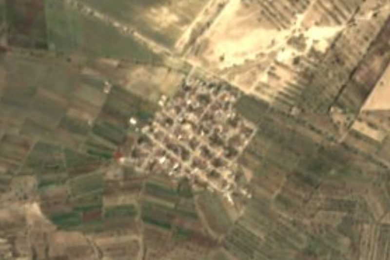
At about 2,980 m above sea level, Tlanalapan is one of Puebla's highest villages. Its Nahuatl name, from tlalli, land, nal, the other side, and apan, river, means "land across the river". It belongs to the municipality of Lafragua at the eastern edge of the state and had 1,029 people in 2020. Its church is dedicated to Saint Raphael and is decorated with arches for the festival, as in the photo.
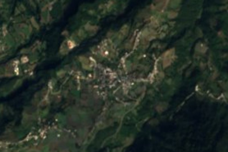
Lafragua is named for the Puebla politician and writer José María Lafragua. Its territory, about 181 km², runs from 2,320 to 3,900 m and borders the Veracruz municipalities of Perote and Ayahualulco to the north and north-east. It is volcanic country, with stratovolcanoes, stepped basalt plateaus and plains, and nearly all its soils are andosols. It is cold: averages run from 4 to 14 °C, and the main climate is semi-cold and sub-humid with summer rain. Streams only run in season and mostly drain into the closed Totolcingo basin, though one strip flows to the Jamapa on the Gulf side.
People in the municipality embroider with silk thread and model figures from bread dough. They eat barbacoa, mixiote in maguey leaf, tamales in corn leaves and chilposo with guajillo chilli, drink pulque, aguamiel and tejocote or apple aguardiente, and celebrate religious festivals with brass bands. In the seat, Saltillo, stand the parish church of San José and a marble chapel of San Isidro.
How to get to Tlanalapan
Drive from Huamantla: 1 h 20 min, 86 km
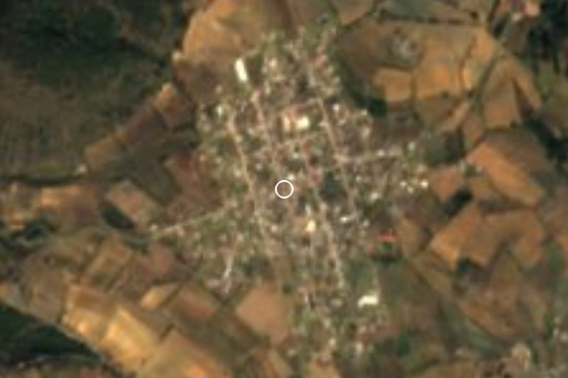
Tlanalapan lies in the municipality of Lafragua at the eastern edge of Puebla, about 100 km in a straight line from the capital; Perote in Veracruz is close by to the north. From Puebla, take the highway toward Perote and Xalapa, then local roads from the Guadalupe Victoria area. Bring a warm layer: at this height it is cool all year.
Directions to Tlanalapan on Google Maps
Distances are in a straight line; the road is usually longer.
Links open a partner site. We may earn a commission if you book, at no cost to you.
From the nearest cities to Tlanalapan
- Huamantla · 86 km by road, 1 h 20 min
- Xalapa · 108 km by road, 1 h 40 min
- Orizaba · 117 km by road, 1 h 45 min
Drive times by road from OpenStreetMap, without traffic or stops. Times marked ~ are estimated from the straight-line distance.
Visiting Tlanalapan: what to see and do
The church of San Rafael and its festival arches.
The high volcanic landscape on the Veracruz line.
The marble chapel of San Isidro in Saltillo.
Plan your trip
Places to stay in Tlanalapan
Compare hotels, posadas, and rentals in and around Tlanalapan.
Tours & activities
Day trips and guided outings from Coscomatepec often include Tlanalapan; with a local guide you can get there without a car.
Rental cars
Pick up a car at VER (Veracruz): about 1 h 50 min by road to Coscomatepec, then 31 km more to Tlanalapan, on your own schedule.
Flights
The nearest airport with scheduled flights is Veracruz (VER), about 1 h 50 min by road from Coscomatepec, the base for Tlanalapan.
Mobile data
Signal can drop away from Coscomatepec: download a map of the way to Tlanalapan before you set out, or carry an eSIM with data.
Links open a partner site. We may earn a commission if you book, at no cost to you.
When to go to Tlanalapan mild
Tlanalapan shares the climate of Coscomatepec, 31 km away. The best months to visit are February, March, April, and December.
See the month-by-month climate of Coscomatepec
Weather in Tlanalapan now and the next 7 days
Live forecast from Open-Meteo. Chance of rain is the day's highest.
The closest Pueblo Mágico: Coscomatepec

Coscomatepec is the Pueblo Mágico closest to Tlanalapan, with places to stay, food, and more to see.
Also close to
Closest to Tlanalapan
-
Saltillo · Village · 6 km away
-
Guadalupe Victoria · Town · 8 km away
-
San Agustín · Village · 9 km away
-
Chilchotla · Town · 10 km away
-
González Ortega · Village · 10 km away
-
Quimixtlán · Village · 15 km away
-
La Gloria · Village · 16 km away
-
Las Derrumbadas · Mountain · 19 km away


Near Tlanalapan




Drive times by road from OpenStreetMap, without traffic. Times marked ~ are estimated from the straight-line distance.
Location from OpenStreetMap. Written by Puebloteca.