
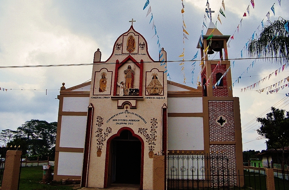
Village Tlaltetela, Veracruz Xalapa and the coffee hills
Tlaltetela's second-largest village, at 1,400 m on the Puerto Rico–Totutla road; Nahuatl name meaning 'on the young corn'. 27 min from Huatusco.
From Xalapa: 1 h 15 min by car (61 km by road) How to get there ↓
Near here
See everything nearby ↓



Plan your visit to Ohuapan
Where to stay near Ohuapan
Compare hotels, posadas and guest houses in Ohuapan.
Tours to Ohuapan
Day trips and guided outings from Xico often include Ohuapan; with a local guide you can get there without a car.
 Tours from Veracruz
Private Sunrise Taj Mahal Tour from Delhi By Car -All inclusive
★ 5.0 (549) · From US$14
How to get to Ohuapan
- From Xalapa: about 1 h 15 min by road (~61 km)
- Nearest airport: Veracruz (VER), 1 h 44 min by car to Xico
Links open a partner site. We may earn a commission if you book, at no cost to you.
Tours from Veracruz, near Ohuapan


Tours, prices and ratings from Viator, checked weekly. We may earn a commission if you book.
About Ohuapan
The name is Nahuatl: ohuatl, the young ear of corn, and pan, on top of; Ohuapan means 'on the young corn'. It is the second largest of the 45 localities in Tlaltetela municipality, with 1,899 residents in 2020, and it has grown steadily, from 1,467 in 2005 and 1,666 in 2010.
The village lies in the cool upper part of the municipality, about 1,400 metres above sea level and some 11 km southwest of the municipal seat. The yearly average temperature is around 17 °C and it is very wet country, with rain on more than 320 days a year. Houses line the paved Puerto Rico–Totutla state road, which links Ohuapan north to Tlaltetela and Coatepec and south to Totutla and Huatusco. Connectivity is limited: in 2020 just over half of homes had a mobile phone and only 6% had internet.
Tlaltetela, 'place on the rocks', was called Axocuapan until 1979. It lies in the Montañas region on the foothills of the Sierra Madre Oriental, crossed by the Los Pescados River and several streams of the La Antigua basin. The municipality lives off the land, growing sugarcane, coffee and limes and raising cattle. For outings there is the Trujillas ravine, with rock paintings locals call 'los changos' (the monkeys), and the Amatitla waterfall, in the community of the same name. The municipal seat celebrates Saint Joseph in March and the Virgin of Guadalupe in December.
How to get to Ohuapan
Drive from Xalapa: 1 h 15 min, 61 km
The shortest way in is from the south. From Huatusco it is about 24 km and 27 minutes: take Federal Highway 125 towards Xalapa for about 10 km, turn into Totutla and from there head north on the paved Puerto Rico–Totutla state road for about 10 km to Ohuapan. From Tlaltetela, the municipal seat, it is about 13 km and 18 minutes south on the same road. From Xalapa allow about 61 km and roughly 1 hour 15 minutes: drive down to Coatepec and follow the Puerto Rico–Totutla road through Tlaltetela. From Xico, the nearest Pueblo Mágico, the trip is similar, about 60 km. Long-distance buses arrive at CAXA in Xalapa; we found no published colectivo routes or timetables to Ohuapan, so ask in Huatusco or Tlaltetela or come by car.
Directions to Ohuapan on Google Maps
Distances are in a straight line; the road is usually longer.
Links open a partner site. We may earn a commission if you book, at no cost to you.
From the nearest cities to Ohuapan
- Xalapa · 61 km by road, 1 h 15 min
- Córdoba · 71 km by road, 1 h 15 min
- Orizaba · 80 km by road, 1 h 20 min
Drive times by road from OpenStreetMap, without traffic or stops. Times marked ~ are estimated from the straight-line distance.
Visiting Ohuapan: what to see and do
The village church.
The Puerto Rico–Totutla road and the mountain scenery around it.
The Trujillas ravine and its rock paintings, 'los changos', elsewhere in the municipality.
The Amatitla waterfall, elsewhere in the municipality.
The feasts of Saint Joseph (March) and the Virgin of Guadalupe (December) in Tlaltetela.
Plan your trip
Places to stay in Ohuapan
Compare hotels, posadas, and rentals in and around Ohuapan.
Tours & activities
Day trips and guided outings from Xico often include Ohuapan; with a local guide you can get there without a car.
Rental cars
Pick up a car at VER (Veracruz): about 1 h 44 min by road to Xico, then 18 km more to Ohuapan, on your own schedule.
Flights
The nearest airport with scheduled flights is Veracruz (VER), about 1 h 44 min by road from Xico, the base for Ohuapan.
Mobile data
Signal can drop away from Xico: download a map of the way to Ohuapan before you set out, or carry an eSIM with data.
Links open a partner site. We may earn a commission if you book, at no cost to you.
When to go to Ohuapan mild
Ohuapan shares the climate of Xico, 18 km away. The best months to visit are February, March, April, and May.
See the month-by-month climate of Xico
Weather in Ohuapan now and the next 7 days
Live forecast from Open-Meteo. Chance of rain is the day's highest.
The closest Pueblo Mágico: Xico

Xico is the Pueblo Mágico closest to Ohuapan, with places to stay, food, and more to see.
Also close to
- Coscomatepec · Veracruz · 21 km away
- Coatepec · Veracruz · 23 km away
- Córdoba · Veracruz · 40 km away
- Naolinco · Veracruz · 46 km away
- Orizaba · Veracruz · 47 km away
Closest to Ohuapan
-
Chichiquila · Village · 10 km away
-
San José · Village · 11 km away
-
Huatusco · Town · 12 km away
-
Teocelo · Town · 15 km away
-
Quimixtlán · Village · 16 km away
-
Cascada de Texolo · Waterfall · 17 km away
-
Cruz Verde · Village · 18 km away
-
San Marcos de León · Village · 19 km away
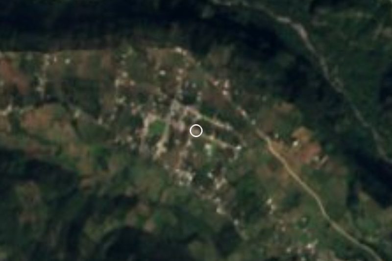

Near Ohuapan



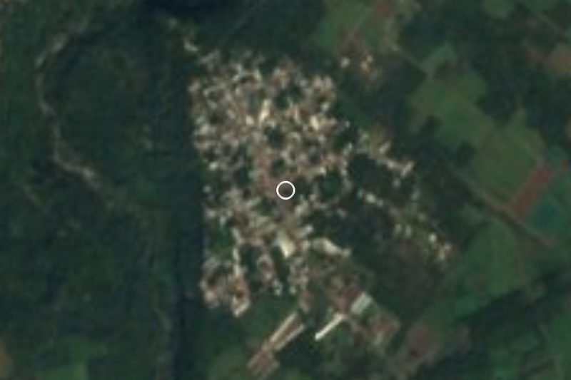


Drive times by road from OpenStreetMap, without traffic. Times marked ~ are estimated from the straight-line distance.
Location from OpenStreetMap. Written by Puebloteca.