Village Paso de Ovejas, Veracruz Veracruz port and the Sotavento
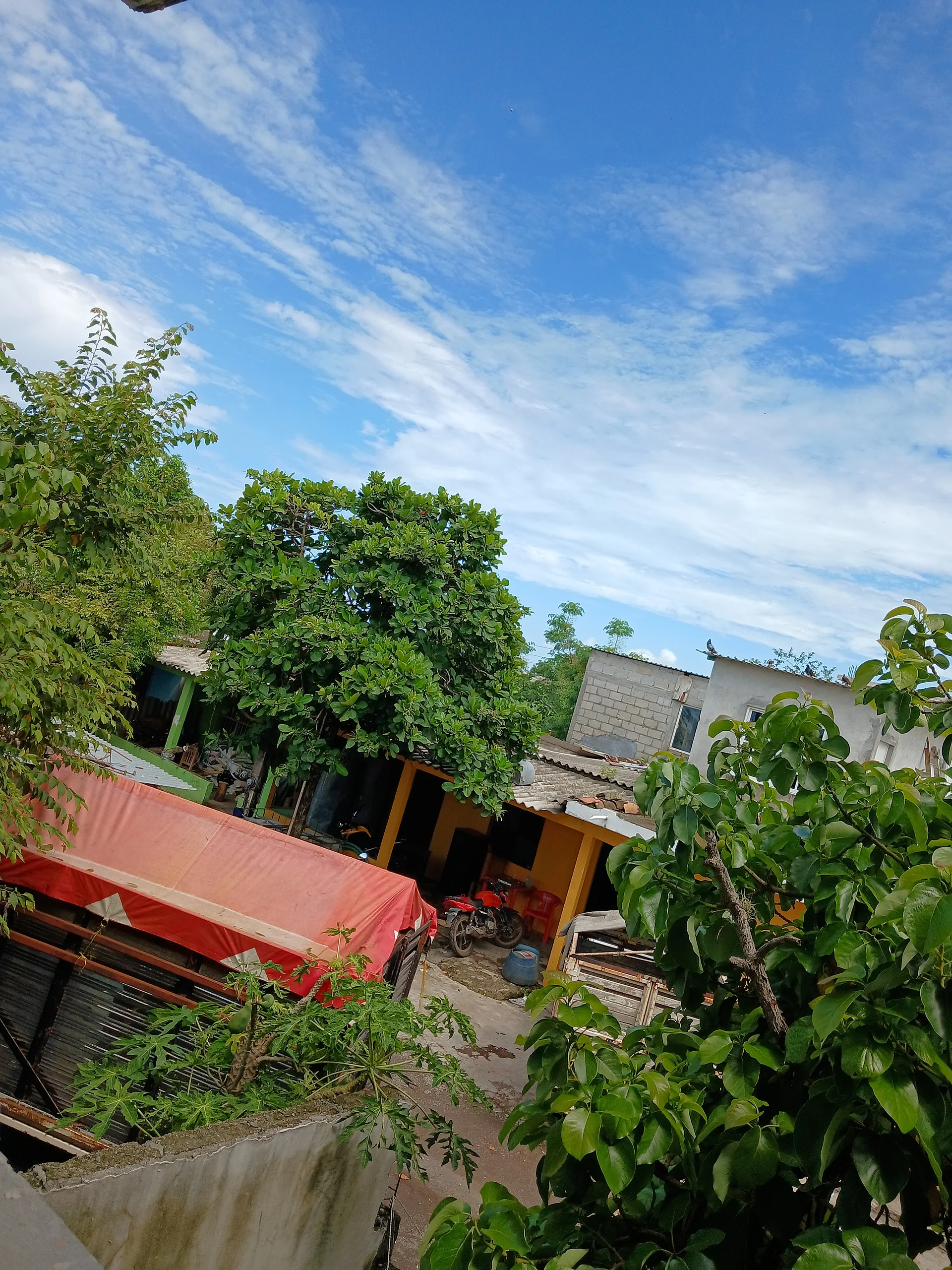
Former Jesuit sheep hacienda in Paso de Ovejas, an insurgent refuge of Guadalupe Victoria and the municipal seat until 1870.
From Veracruz: 1 h by car (72 km by road) How to get there ↓
Near here
See everything nearby ↓
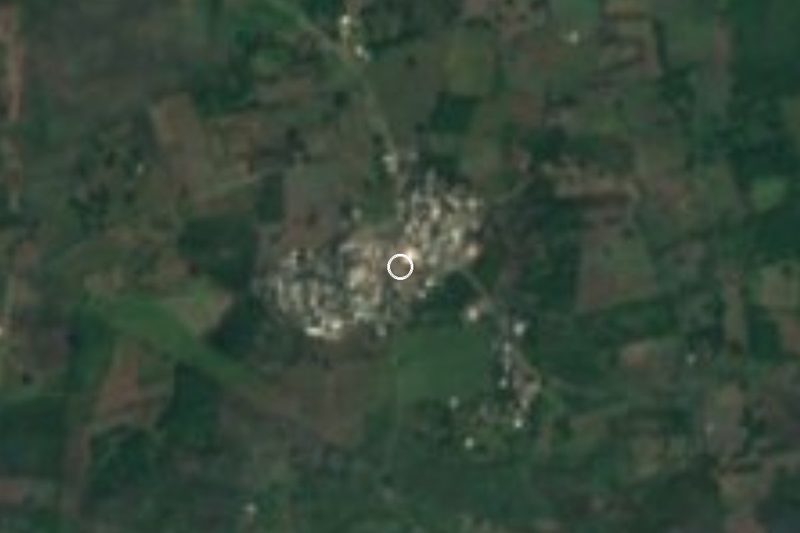


Plan your visit to Acazónica
Where to stay near Acazónica
Compare hotels, posadas and guest houses in Acazónica.
Tours to Acazónica
Day trips and guided outings from Coatepec often include Acazónica; with a local guide you can get there without a car.
 Tours from Veracruz
Private Sunrise Taj Mahal Tour from Delhi By Car -All inclusive
★ 5.0 (546) · From US$14
How to get to Acazónica
- From Veracruz: about 1 h by road (~72 km)
- Nearest airport: Veracruz (VER), 1 h 37 min by car to Coatepec
Links open a partner site. We may earn a commission if you book, at no cost to you.
Tours from Veracruz, near Acazónica


Tours, prices and ratings from Viator, checked weekly. We may earn a commission if you book.
About Acazónica
Acazónica is now a hill-country village of just over a thousand people (1,123 in the 2020 census), at about 340 metres and some 20 km southwest of Paso de Ovejas, but in colonial times the name belonged to one of the largest haciendas in central Veracruz. The Jesuits founded it early in the 17th century to fund their colleges by raising sheep, and studies of the estate describe lands stretching from the coast to the slopes of the Cofre de Perote and Pico de Orizaba.
Wool was the business. More than 25,000 sheep spent the year on the high pastures of Totutla and Tlacotepec and were driven down to the hot lowlands at the end of summer for shearing; the wool was stored in the Los Portales house in Paso de Ovejas and carried by mule to the port, about eight hours away, to be shipped to Spain. The flocks crossing the Atliyac river gave neighbouring Paso de Ovejas ("sheep crossing") its name. The work was done by Indigenous labourers and enslaved Africans, and by the late 18th century the local population was largely of mixed African and Indigenous descent. Alexander von Humboldt mentioned the estate for its selenite (espejuelo) quarries.
After the Jesuits were expelled in 1767 the hacienda found no buyer; from 1784 Indigenous workers, shepherds and labourers fought in court for the land, in 1790 they formed an Indian republic and in 1802 the town of San José de Acazónica was founded, serving as municipal seat until 1870. During the War of Independence Félix Fernández spent two years here as an insurgent colonel and took the name Guadalupe Victoria, under which he became Mexico's first president. The village celebrates Saint Joseph on 19 March and is known for its weavers of papaya baskets, ropes, twine and brooms.
How to get to Acazónica
Drive from Veracruz: 1 h, 72 km
Paso de Ovejas, the municipal seat, is about 21 km and 24 minutes away: leave on Federal Highway 140 and Avenida Miguel Alemán, take the road to Limón and, past Limón, the road to Acazónica. From Veracruz port the fastest route is about 73 km and takes around an hour: the 180D toll road to Cardel, Highway 140 towards Xalapa, then Federal Highway 125 (Huatusco–Conejos) south and about 7 km of local road into the village. From Xalapa it is about 77 km, some 66 minutes, on the 140 and 140D to the junction with the 125. Bus travellers can get off at the Central de Autobuses de Veracruz (ADO, AU and other lines) or at Xalapa's CAXA terminal; no colectivo route to Acazónica appears in any timetable we could find, so the last leg from Paso de Ovejas is by taxi or whatever local service people there point you to.
Directions to Acazónica on Google Maps
Distances are in a straight line; the road is usually longer.
Links open a partner site. We may earn a commission if you book, at no cost to you.
From the nearest cities to Acazónica
- Veracruz · 72 km by road, 1 h
- Xalapa · 76 km by road, 1 h 5 min
- Córdoba · 108 km by road, 1 h 45 min
Drive times by road from OpenStreetMap, without traffic or stops. Times marked ~ are estimated from the straight-line distance.
Visiting Acazónica: what to see and do
The village church, successor to the old Jesuit hacienda.
The feast of Saint Joseph, 19 March.
Papaya baskets, ropes, twine and brooms made in the village.
The Los Portales house in Paso de Ovejas, where the hacienda's wool was stored and Guadalupe Victoria had his headquarters.
The colonial bridge over the Atliyac river in Paso de Ovejas.
Plan your trip
Places to stay in Acazónica
Compare hotels, posadas, and rentals in and around Acazónica.
Tours & activities
Day trips and guided outings from Coatepec often include Acazónica; with a local guide you can get there without a car.
Rental cars
Pick up a car at VER (Veracruz): about 1 h 37 min by road to Coatepec, then 47 km more to Acazónica, on your own schedule.
Flights
The nearest airport with scheduled flights is Veracruz (VER), about 1 h 37 min by road from Coatepec, the base for Acazónica.
Mobile data
Signal can drop away from Coatepec: download a map of the way to Acazónica before you set out, or carry an eSIM with data.
Links open a partner site. We may earn a commission if you book, at no cost to you.
When to go to Acazónica mild
Acazónica shares the climate of Coatepec, 47 km away. The best months to visit are February, March, April, and May.
See the month-by-month climate of Coatepec
Weather in Acazónica now and the next 7 days
Live forecast from Open-Meteo. Chance of rain is the day's highest.
The closest Pueblo Mágico: Coatepec

Coatepec is the Pueblo Mágico closest to Acazónica, with places to stay, food, and more to see.
Also close to
- Xico · Veracruz · 49 km away
- Coscomatepec · Veracruz · 50 km away
- Córdoba · Veracruz · 51 km away
- Naolinco · Veracruz · 57 km away
- Orizaba · Veracruz · 68 km away
Closest to Acazónica
-
Jalcomulco · Town · 22 km away
-
Las Remojadas · Village · 26 km away
-
José Cardel · Town · 28 km away
-
Manlio Fabio Altamirano · Town · 30 km away
-
La Antigua · Town · 31 km away
-
Actopan · Town · 32 km away
-
Chavarrillo · Village · 32 km away
-
Cempoala · Archaeological site · 33 km away
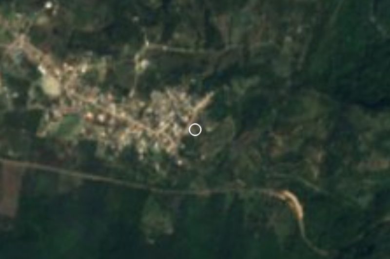

Near Acazónica


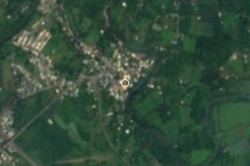


Drive times by road from OpenStreetMap, without traffic. Times marked ~ are estimated from the straight-line distance.
Location from OpenStreetMap. Written by Puebloteca.