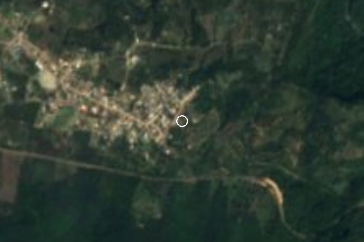
Village Emiliano Zapata, Veracruz Xalapa and the coffee hills
Pottery village of 1,500 at 870 m south of Xalapa, below Cerro Chavarrillo and near the old railway to Veracruz.
From Xalapa: 25 min by car (21 km by road) How to get there ↓
Near here
See everything nearby ↓


Plan your visit to Chavarrillo
Where to stay near Chavarrillo
Compare hotels, posadas and guest houses in Chavarrillo.
Tours to Chavarrillo
Day trips and guided outings from Coatepec often include Chavarrillo; with a local guide you can get there without a car.
 Tours from Veracruz
Private Sunrise Taj Mahal Tour from Delhi By Car -All inclusive
★ 5.0 (549) · From US$14
How to get to Chavarrillo
- From Xalapa: about 25 min by road (~21 km)
- Nearest airport: Veracruz (VER), 1 h 37 min by car to Coatepec
Links open a partner site. We may earn a commission if you book, at no cost to you.
Tours from Veracruz, near Chavarrillo


Tours, prices and ratings from Viator, checked weekly. We may earn a commission if you book.
About Chavarrillo
Chavarrillo lies in the municipality of Emiliano Zapata, which wraps around Xalapa to the southeast, at about 873 metres. It has around 1,500 residents, known as chavarrillenses, and its traditional craft is pottery. It occupies the belt where the Cofre de Perote's slopes finish descending toward the coastal plain: the municipality is a tilted plane falling from west to east, with shallow ravines, heavy rain (about 2,780 mm a year) and average temperatures of 25 °C.
Cerro Chavarrillo, roughly 1,200 metres (4,000 ft) high, rises about four miles south of Xalapa's El Lencero airport and features in that airport's approach notes. Less than 2 km west of the village is Estación Chavarrillo, a separate community that grew up around the stop on the Xalapa–Veracruz railway; the El Jarocho passenger train ran on that line until service ended in August 1999, and today it carries freight.
The census record says a lot about the place: 175 people in 1900, only 170 in 1930, then a jump to 813 in 1950. Growth has been slow since. The village sits off the tourist circuit, half an hour from Xalapa on roads through Las Trancas and El Chico Three quarters of the municipality's land is farmed, and that is what surrounds the village: plots and open hills.
How to get to Chavarrillo
Drive from Xalapa: 25 min, 21 km
From Xalapa it is about 21 km and 26 minutes: leave on Avenida Lázaro Cárdenas (Highway 140) toward Las Trancas, follow the Las Trancas–Coatepec road and the Estanzuela–El Chico road, and from El Chico it is about 7.5 km more on the road to Chavarrillo. From Coatepec it is about 24 km (28 minutes) on the same road via Las Trancas, and from Dos Ríos, the municipal seat, about 16 km (22 minutes) via Highway 140 and the El Chico–Lencero road. From the port of Veracruz it is about 97 km and an hour and a half on the 180D and 140D toll roads. Long-distance buses arrive at Xalapa's CAXA; the municipality has second-class bus terminals at Las Trancas, Miradores and La Cumbre, but we found no published routes or timetables to Chavarrillo, so ask in Las Trancas or take a taxi.
Directions to Chavarrillo on Google Maps
Distances are in a straight line; the road is usually longer.
Links open a partner site. We may earn a commission if you book, at no cost to you.
From the nearest cities to Chavarrillo
- Xalapa · 21 km by road, 25 min
- Veracruz · 95 km by road, 1 h 20 min
- Orizaba · about 95 km by road, ~1 h 25 min
Drive times by road from OpenStreetMap, without traffic or stops. Times marked ~ are estimated from the straight-line distance.
Visiting Chavarrillo: what to see and do
Pottery, the village's traditional craft.
Cerro Chavarrillo, about 1,200 m high, beside the village.
Estación Chavarrillo and the Xalapa–Veracruz railway, under 2 km away.
The ravines and rolling hills on the way down to the coast.
Plan your trip
Places to stay in Chavarrillo
Compare hotels, posadas, and rentals in and around Chavarrillo.
Tours & activities
Day trips and guided outings from Coatepec often include Chavarrillo; with a local guide you can get there without a car.
Rental cars
Pick up a car at VER (Veracruz): about 1 h 37 min by road to Coatepec, then 18 km more to Chavarrillo, on your own schedule.
Flights
The nearest airport with scheduled flights is Veracruz (VER), about 1 h 37 min by road from Coatepec, the base for Chavarrillo.
Mobile data
Signal can drop away from Coatepec: download a map of the way to Chavarrillo before you set out, or carry an eSIM with data.
Links open a partner site. We may earn a commission if you book, at no cost to you.
When to go to Chavarrillo mild
Chavarrillo shares the climate of Coatepec, 18 km away. The best months to visit are February, March, April, and May.
See the month-by-month climate of Coatepec
Weather in Chavarrillo now and the next 7 days
Live forecast from Open-Meteo. Chance of rain is the day's highest.
The closest Pueblo Mágico: Coatepec

Coatepec is the Pueblo Mágico closest to Chavarrillo, with places to stay, food, and more to see.
Also close to
- Xico · Veracruz · 22 km away
- Naolinco · Veracruz · 27 km away
- Coscomatepec · Veracruz · 48 km away
- Córdoba · Veracruz · 61 km away
- Orizaba · Veracruz · 72 km away
Closest to Chavarrillo
-
Ex Hacienda El Lencero · Landmark · 7 km away
-
Jalcomulco · Town · 11 km away
-
El Grande · Village · 13 km away
-
Los Otates · Village · 13 km away
-
Trapiche del Rosario · Village · 14 km away
-
El Castillo · Village · 15 km away
-
Coyolillo · Village · 16 km away
-
La Ceiba Gráfica · Landmark · 16 km away


Near Chavarrillo


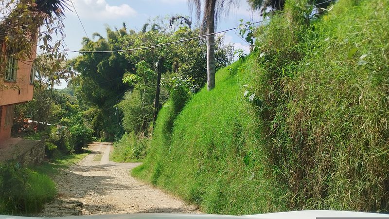


Drive times by road from OpenStreetMap, without traffic. Times marked ~ are estimated from the straight-line distance.
Location from OpenStreetMap. Written by Puebloteca.