
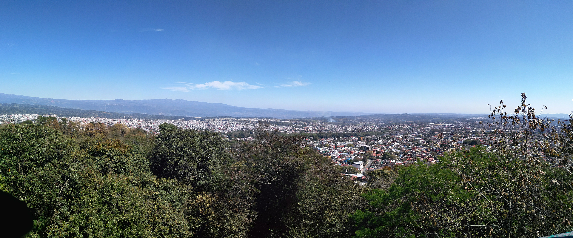


City Xalapa, Veracruz Municipality of Xalapa Xalapa and the coffee hills
Veracruz's hilly state capital and university city, known for its anthropology museum, its parks and a music scene recognised by UNESCO.
From Teziutlán: 1 h 15 min by car (87 km by road) How to get there ↓
Near here


Plan your visit to Xalapa
Where to stay near Xalapa
Compare hotels, posadas and guest houses in Xalapa.
Tours to Xalapa
Day trips and guided outings from Coatepec often include Xalapa; with a local guide you can get there without a car.
 Cultural Capital: Xalapa And Coatepec Veracruz
★ 4.3 (8) · From US$128
How to get to Xalapa
- From Teziutlán: about 1 h 15 min by road (~87 km)
- Nearest airport: Veracruz (VER), 1 h 37 min by car to Coatepec
Links open a partner site. We may earn a commission if you book, at no cost to you.
Popular tours to Xalapa


Tours, prices and ratings from Viator, checked weekly. We may earn a commission if you book.
About Xalapa
Xalapa, officially Xalapa-Enríquez, is the capital of the state of Veracruz. It sits at about 1,400 metres in the hills near the centre of the state, roughly 89 km northwest of the port of Veracruz and about 350 km from Mexico City. The city had 443,063 people at the 2020 census (488,531 in the whole municipality), making it the second-largest city in Veracruz, and it is the core of a metropolitan area that takes in Coatepec, Xico, Banderilla and other neighbouring towns. The name comes from Nahuatl words usually translated as "spring in the sand", and the long-standing nickname "City of Flowers" is credited to Alexander von Humboldt, who passed through in 1804. The jalapeño pepper is named after the city.
In the 14th century four indigenous villages grew together here into a settlement called Xallapan, later conquered by the Aztecs; Hernán Cortés passed through in 1519 on his way inland, and Franciscans finished a convent here in the 1550s. Xalapa gained weight in the 18th century as a trading town on the road between the coast and the highlands, was declared a villa in 1791 and a city in 1830, and was occupied by US troops after the Battle of Cerro Gordo in April 1847. The suffix Enríquez honours the 19th-century governor Juan de la Luz Enríquez, who consolidated the city as the seat of state power and in 1886, with the Swiss teacher Enrique Rébsamen, founded the Normal School that earned Xalapa the name "Athens of Veracruz".
Today Xalapa is a government and university city, home to the main campus of the Universidad Veracruzana, and much of its culture flows from it: the Museo de Antropología de Xalapa holds Olmec colossal heads and one of the country's great archaeological collections, and the Orquesta Sinfónica de Xalapa, founded in 1929, plays in its own concert hall. In 2021 UNESCO named Xalapa a Creative City of Music. The steep centre is built around the cathedral, the Palacio de Gobierno and Parque Juárez with its lookout, and nearby are the Pinacoteca Diego Rivera, the bohemian Callejón Diamante and food markets known for picadas. Green spaces include the wooded Cerro de Macuiltépetl, the springs of Los Tecajetes and the Francisco Javier Clavijero botanical garden. The climate is mild and damp, averaging around 18 °C, with mist on many mornings; the surrounding hills are coffee country, with Coatepec and Xico close by.
How to get to Xalapa
Drive from Teziutlán: 1 h 15 min, 87 km
Xalapa lies on federal highway 140D (toll), about midway between Puebla and Veracruz: just under 2 hours by car from the port of Veracruz and about 2½ hours from Puebla. Buses from Mexico City (ADO, AU) leave almost hourly from the TAPO terminal and take about 4 hours; they arrive at the Central de Autobuses de Xalapa (CAXA) on Av. 20 de Noviembre, on the east side of the city. The nearest airport with commercial flights is Veracruz (VER), about 2 hours away.
Directions to Xalapa on Google Maps
Distances are in a straight line; the road is usually longer.
Links open a partner site. We may earn a commission if you book, at no cost to you.
From the nearest cities to Xalapa
- Teziutlán · 87 km by road, 1 h 15 min
- Veracruz · 101 km by road, 1 h 20 min
- Córdoba · about 95 km by road, ~1 h 25 min
Drive times by road from OpenStreetMap, without traffic or stops. Times marked ~ are estimated from the straight-line distance.
What to see in Xalapa 6
Sights with their own page, closest to the centre first.
Landmarks and museums
-
Barrio de Xallitic · Landmark · 1 km from the centre
Xalapa's spring-fed barrio of public wash houses, stairways and an arched bridge: Veracruz's first Barrio Mágico (August 2023). -
Catedral de Xalapa · Landmark · 2 km from the centre
Xalapa's metropolitan cathedral, begun in 1641 and remodelled in Neo-Gothic style from 1896, known locally for its single, unfinished tower. -
Museo de Antropología de Xalapa · Landmark · 2 km from the centre
The MAX, the Universidad Veracruzana's anthropology museum, with seven Olmec colossal heads and about 2,500 pieces from Gulf Coast cultures. -
Parque Juárez · Landmark · 2 km from the centre
Xalapa's central park, opened in 1892 on a terrace beside the Palacio de Gobierno, with a lookout towards the Cofre de Perote and Pico de Orizaba.
Nature reserves
-
Cerro de Macuiltépetl · Nature reserve · 1 km from the centre
A wooded extinct volcano in the middle of Xalapa, now an ecological park with spiral paths, a lookout tower and a small fauna museum. -
Parque Ecológico Los Tecajetes · Nature reserve · 2 km from the centre
A sunken spring-fed park near central Xalapa, with ponds, channels, bridges and shady paths, open daily and free.
Map of Xalapa
Neighbourhoods and villages of Xalapa
Part of Xalapa or just outside it, closest first.
-
El Castillo · Village · 6 km from the centre
A clay-working village on the eastern edge of Xalapa, with the La Palma lagoon and its herons, diving ducks and fishing eagles.

Day trips and tours from Xalapa
The closest Pueblos Mágicos and places to visit, with the drive from Xalapa and tours that leave from it.

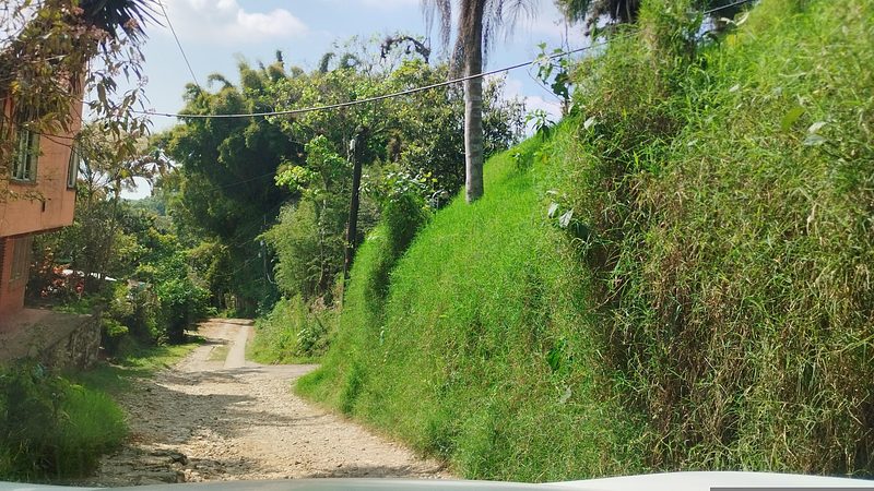


All 27 Pueblos Mágicos within a weekend of Xalapa →
Times marked ~ are estimated from the distance. Links open a partner site. We may earn a commission if you book, at no cost to you.
Before you go: getting to and around Xalapa
- The nearest airport is Veracruz (VER).
- The best months to go are February, March, April, and May.
- 1 of the places on this page is more than 3 km from the centre: take a taxi, a ride-hailing app or a local bus.
- For day trips a rental car gives the most freedom; the tours above leave from Xalapa.
Before you go to Xalapa: hours, prices and tips
- Best time of day
- The most comfortable weather is from early November to mid-April; the rainiest month is June. Bring warm clothing in winter, when nights can drop close to 0 °C. Wikipedia · checked Oct 2026
- Best season
- Immaculate Conception, patroness of the city, 8 December; feast of Saint Rafael Guízar y Valencia on 24 October, when pilgrims visit his tomb and the cathedral stays open day and night. Wikipedia · checked Oct 2026
Hours and prices change, especially around holidays. Each fact links to where we checked it.
Visiting Xalapa: what to see and do
See the Olmec colossal heads and Gulf Coast collections at the Museo de Antropología de Xalapa.
Walk Parque Juárez and look south from its terrace towards the Cofre de Perote and, on clear days, the Pico de Orizaba.
Visit the cathedral and its chapel with the tomb of Saint Rafael Guízar y Valencia.
See the Diego Rivera collection at the Pinacoteca Diego Rivera, next to Parque Juárez.
Hear the Orquesta Sinfónica de Xalapa, founded in 1929.
Climb Cerro de Macuiltépetl for the view over the city, or stroll among the springs of Los Tecajetes.
Plan your trip
Places to stay in Xalapa
Compare hotels, posadas, and rentals in and around Xalapa.
Tours & activities
Day trips and guided outings from Coatepec often include Xalapa; with a local guide you can get there without a car.
Rental cars
Pick up a car at VER (Veracruz): about 1 h 37 min by road to Coatepec, then 11 km more to Xalapa, on your own schedule.
Flights
The nearest airport with scheduled flights is Veracruz (VER), about 1 h 37 min by road from Coatepec, the base for Xalapa.
Mobile data
Signal can drop away from Coatepec: download a map of the way to Xalapa before you set out, or carry an eSIM with data.
Links open a partner site. We may earn a commission if you book, at no cost to you.
Photos
When to go to Xalapa mild
Xalapa shares the climate of Coatepec, 11 km away. The best months to visit are February, March, April, and May.
See the month-by-month climate of Coatepec
Weather in Xalapa now and the next 7 days
Live forecast from Open-Meteo. Chance of rain is the day's highest.
The closest Pueblo Mágico: Coatepec

Coatepec is the Pueblo Mágico closest to Xalapa, with places to stay, food, and more to see.
Also close to
- Naolinco · Veracruz · 13 km away
- Xico · Veracruz · 16 km away
- Coscomatepec · Veracruz · 54 km away
- Teziutlán · Puebla · 58 km away
- Tlatlauquitepec · Puebla · 70 km away
Near Xalapa


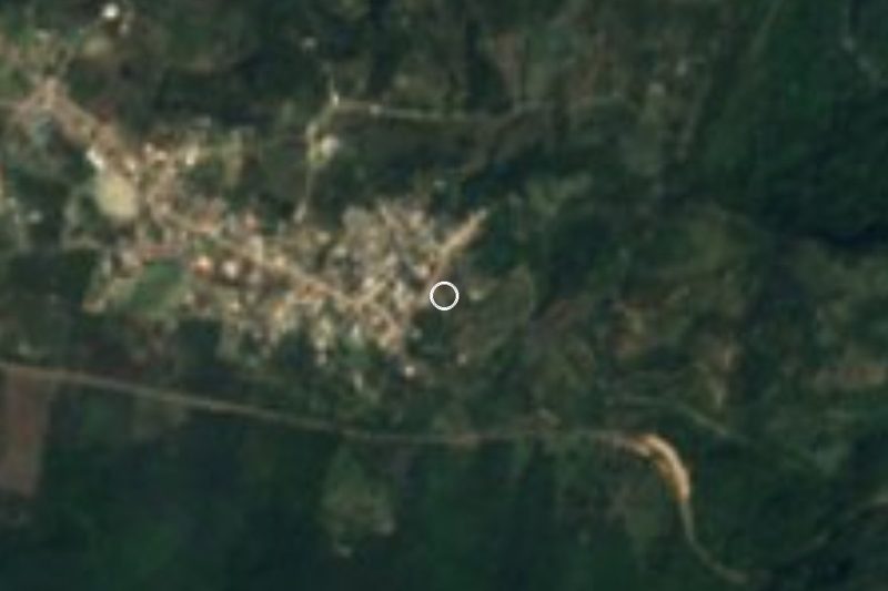


Drive times by road from OpenStreetMap, without traffic. Times marked ~ are estimated from the straight-line distance.
Location from OpenStreetMap. Written by Puebloteca.