

Village Acajete, Veracruz Xalapa and the coffee hills
A cheese- and bread-making village at about 2,000 m on the Xalapa–Perote road, with French cannons, a stone oven and a San José festival.
From Xalapa: 25 min by car (24 km by road) How to get there ↓
Near here
See everything nearby ↓


Plan your visit to La Joya
Where to stay near La Joya
Compare hotels, posadas and guest houses in La Joya.
Tours to La Joya
Day trips and guided outings from Naolinco often include La Joya; with a local guide you can get there without a car.
How to get to La Joya
- From Xalapa: about 25 min by road (~24 km)
- Nearest airport: Veracruz (VER), 1 h 55 min by car to Naolinco
Links open a partner site. We may earn a commission if you book, at no cost to you.
About La Joya
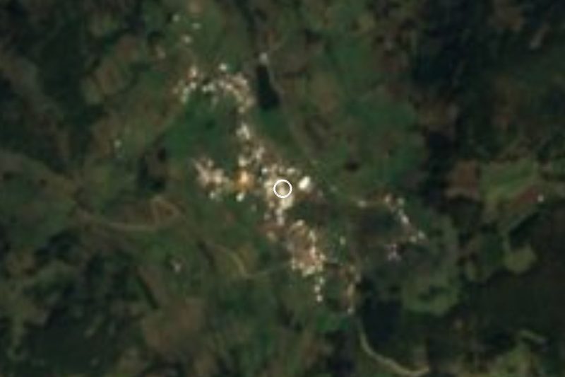
Part of the municipality of Acajete, La Joya sits on the northeastern slopes of the Cofre de Perote, right on federal Highway 140 between Xalapa and Perote. It lies above 2,000 m, in a cool, damp climate where temperatures range from about 5 to 26 °C, roughly 25 km from the state capital. Home to close to 1,500 people, it is known around the region for two things above all: cheese and bread.
The settlement began in the second half of the 16th century beside the royal road linking the port of Veracruz with Mexico City, under the name Estancia de Aguilar, and in the 19th century it was called La Hoya. It even headed its own municipality until 1893, when that was folded into San Salvador Acajete. Around 1920 the name changed to La Joya, "the jewel", which local lore explains with the story of Empress Carlota losing a jewel as she passed through. Piped water from the Juanes spring arrived in 1917, electricity in 1930, and in 1949 Juan Velasco started the cheese and dairy business that now carries much of the local economy.
The cheese makers turn out botanero, string, fresh, aged and smoked cheeses, and bakeries keep family recipes going. Older traces include a stone bread oven believed to be about 300 years old, a hacienda owners' house of around 250 years, arched buildings more than a century old, and, on a roundabout, cannons said to have been left by French troops in 1862. The church of San José, 200 to 250 years old, crowns a small hill; its feast is on 19 March, with fireworks on a castillo the night before. At one end of the village rises Cerro del Hoyo, a volcanic hill about 200 m high.
How to get to La Joya
Drive from Xalapa: 25 min, 24 km
From central Xalapa it is about 25 km and 25 minutes: head out on Avenida Lázaro Cárdenas towards Banderilla and stay on federal Highway 140 (Xalapa–Perote), which runs straight through La Joya. From Perote it is about 29 km and 30 minutes back along the same Highway 140. From Naolinco, the nearest Pueblo Mágico, allow about 29 km and 40 minutes on the Xalapa–Misantla state road and rural roads via Tlacolulan and Rafael Lucio. By public transport, second-class buses and colectivos from Xalapa's CAXA terminal towards Las Vigas and Perote use Highway 140; ask the driver for the La Joya stop.
Directions to La Joya on Google Maps
Distances are in a straight line; the road is usually longer.
Links open a partner site. We may earn a commission if you book, at no cost to you.
From the nearest cities to La Joya
- Xalapa · 24 km by road, 25 min
- Teziutlán · 66 km by road, 1 h 5 min
- Córdoba · about 105 km by road, ~1 h 30 min
Drive times by road from OpenStreetMap, without traffic or stops. Times marked ~ are estimated from the straight-line distance.
Before you go to La Joya: hours, prices and tips
- Best season
- The patron saint festival of San José is on 19 March, with castillo fireworks on the night of the 18th. Wikipedia (La Joya, Veracruz) · checked Oct 2026
Hours and prices change, especially around holidays. Each fact links to where we checked it.
Visiting La Joya: what to see and do
The village cheese makers: botanero, string, fresh, aged and smoked cheeses.
Bakeries working from family recipes.
The church of San José on its small hill.
The stone bread oven, about 300 years old.
The French cannons on the roundabout, beside the flag.
Old arched houses and the former hacienda owners' house.
Cerro del Hoyo, a volcanic hill of about 200 m seen from all over the village.
The San José festival on 19 March, with the castillo fireworks on the night of the 18th.
Plan your trip
Places to stay in La Joya
Compare hotels, posadas, and rentals in and around La Joya.
Tours & activities
Day trips and guided outings from Naolinco often include La Joya; with a local guide you can get there without a car.
Rental cars
Pick up a car at VER (Veracruz): about 1 h 55 min by road to Naolinco, then 17 km more to La Joya, on your own schedule.
Flights
The nearest airport with scheduled flights is Veracruz (VER), about 1 h 55 min by road from Naolinco, the base for La Joya.
Mobile data
Signal can drop away from Naolinco: download a map of the way to La Joya before you set out, or carry an eSIM with data.
Links open a partner site. We may earn a commission if you book, at no cost to you.
When to go to La Joya mild
La Joya shares the climate of Naolinco, 17 km away. The best months to visit are February, March, April, and December.
See the month-by-month climate of Naolinco
Weather in La Joya now and the next 7 days
Live forecast from Open-Meteo. Chance of rain is the day's highest.
The closest Pueblo Mágico: Naolinco

Naolinco is the Pueblo Mágico closest to La Joya, with places to stay, food, and more to see.
Also close to
- Coatepec · Veracruz · 19 km away
- Xico · Veracruz · 22 km away
- Teziutlán · Puebla · 44 km away
- Tlatlauquitepec · Puebla · 56 km away
- Coscomatepec · Veracruz · 60 km away
Closest to La Joya
-
El Fresno · Village · 5 km away
-
El Paisano · Village · 9 km away
-
Museo de Antropología de Xalapa · Landmark · 12 km away
-
Cerro de Macuiltépetl · Nature reserve · 13 km away
-
Parque Ecológico Los Tecajetes · Nature reserve · 13 km away
-
San Pablo Coapan · Village · 13 km away
-
Barrio de Xallitic · Landmark · 14 km away
-
Catedral de Xalapa · Landmark · 14 km away


Near La Joya



Drive times by road from OpenStreetMap, without traffic. Times marked ~ are estimated from the straight-line distance.
Location from OpenStreetMap. Written by Puebloteca.