Village Las Vigas de Ramírez, Veracruz Xalapa and the coffee hills
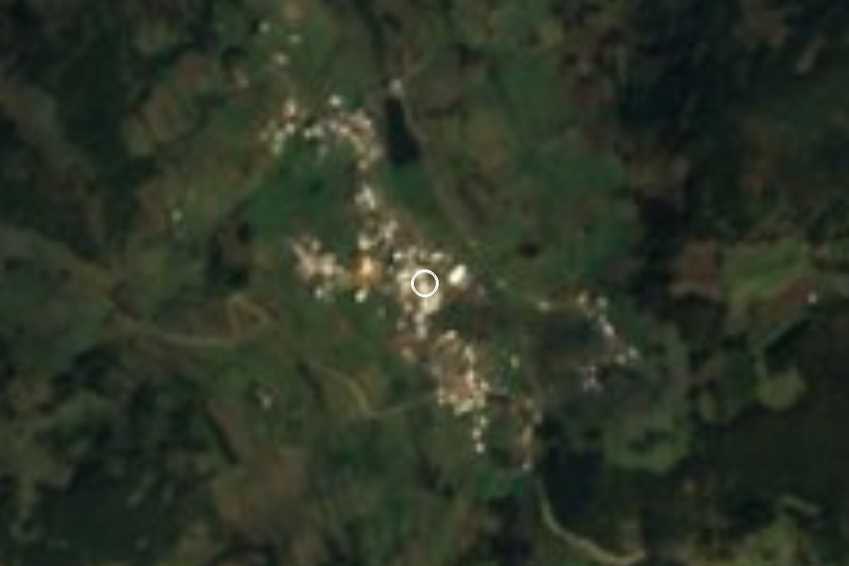
High-mountain village of Las Vigas de Ramírez at almost 3,000 m on the Cofre de Perote; 9 °C annual mean, reached by a rural road off Highway 140.
From Xalapa: 45 min by car (29 km by road) How to get there ↓
Near here
See everything nearby ↓


Plan your visit to El Paisano
Where to stay near El Paisano
Compare hotels, posadas and guest houses in El Paisano.
Tours to El Paisano
Day trips and guided outings from Coatepec often include El Paisano; with a local guide you can get there without a car.
How to get to El Paisano
- From Xalapa: about 45 min by road (~29 km)
- Nearest airport: Veracruz (VER), 1 h 37 min by car to Coatepec
Links open a partner site. We may earn a commission if you book, at no cost to you.
About El Paisano
Few villages in Veracruz sit as high as El Paisano: it lies at about 2,955 metres above sea level, south of the town of Las Vigas de Ramírez, on slopes that belong to the Cofre de Perote volcano. The municipality ranges from 1,700 to 3,140 metres, and this village is close to its top.
At that height the weather rules. The mean temperature is around 9 °C, rain falls for much of the year (about 1,380 mm) and frost is routine: lows of −6.5 °C have been recorded, and in March 1987 almost 2 cm of snow fell. Bring warm clothes in any season.
For a mountain village, El Paisano has grown fast. It had 115 residents in 1940, 397 in 1980, 913 in 2010 and 1,114 in the 2020 census, which puts it among the three largest localities in the municipality. Communications are thin: in 2020 six in ten homes had a mobile phone and practically none had internet.
The hills around have names of their own, such as Cerro Molinillo and Cerro Puerto de Veracruz, and maps show the San Juan del Monte state forest nearby, a protected woodland.
How to get to El Paisano
Drive from Xalapa: 45 min, 29 km
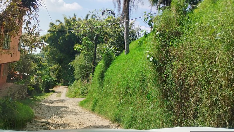
Access is through Las Vigas de Ramírez, on Federal Highway 140 between Xalapa and Perote. From the centre of Las Vigas take Highway 140 about 2.5 km toward Perote, turn off along the road to Valle Alegre and then follow rural roads south: about 15 km in all and roughly half an hour, because the last stretch is slow and partly unpaved. From Xalapa it is about 29 km and 45 minutes on Highway 140 and local roads via Plan del Sedeño and Mazatepec. From Perote it is about 33 km, some 47 minutes. Xico, the nearest Pueblo Mágico, is about 29 km away but over mountain roads that take more than an hour. Xalapa–Perote buses from Xalapa's CAXA station pass through Las Vigas; we found no published timetable for transport on to El Paisano, so the last stretch means a taxi or your own vehicle.
Directions to El Paisano on Google Maps
Distances are in a straight line; the road is usually longer.
Links open a partner site. We may earn a commission if you book, at no cost to you.
From the nearest cities to El Paisano
- Xalapa · 29 km by road, 45 min
- Teziutlán · 62 km by road, 1 h 15 min
- Córdoba · about 100 km by road, ~1 h 30 min
Drive times by road from OpenStreetMap, without traffic or stops. Times marked ~ are estimated from the straight-line distance.
Visiting El Paisano: what to see and do
The slopes of the Cofre de Perote, at almost 3,000 metres.
Cerro Molinillo and Cerro Puerto de Veracruz.
The San Juan del Monte state forest near the village.
Las Vigas de Ramírez, the municipal seat, on Federal Highway 140.
Plan your trip
Places to stay in El Paisano
Compare hotels, posadas, and rentals in and around El Paisano.
Tours & activities
Day trips and guided outings from Coatepec often include El Paisano; with a local guide you can get there without a car.
Rental cars
Pick up a car at VER (Veracruz): about 1 h 37 min by road to Coatepec, then 20 km more to El Paisano, on your own schedule.
Flights
The nearest airport with scheduled flights is Veracruz (VER), about 1 h 37 min by road from Coatepec, the base for El Paisano.
Mobile data
Signal can drop away from Coatepec: download a map of the way to El Paisano before you set out, or carry an eSIM with data.
Links open a partner site. We may earn a commission if you book, at no cost to you.
When to go to El Paisano mild
El Paisano shares the climate of Coatepec, 20 km away. The best months to visit are February, March, April, and May.
See the month-by-month climate of Coatepec
Weather in El Paisano now and the next 7 days
Live forecast from Open-Meteo. Chance of rain is the day's highest.
The closest Pueblo Mágico: Coatepec

Coatepec is the Pueblo Mágico closest to El Paisano, with places to stay, food, and more to see.
Also close to
- Xico · Veracruz · 20 km away
- Naolinco · Veracruz · 25 km away
- Teziutlán · Puebla · 41 km away
- Tlatlauquitepec · Puebla · 52 km away
- Coscomatepec · Veracruz · 56 km away
Closest to El Paisano
-
Los Pescados · Village · 5 km away
-
La Joya · Village · 9 km away
-
Cofre de Perote · Mountain · 10 km away
-
El Fresno · Village · 14 km away
-
Fortaleza de San Carlos · Landmark · 15 km away
-
Perote · Town · 15 km away
-
La Toma · Village · 17 km away
-
Cascada Bola de Oro · Waterfall · 18 km away

Near El Paisano


Drive times by road from OpenStreetMap, without traffic. Times marked ~ are estimated from the straight-line distance.
Location from OpenStreetMap. Written by Puebloteca.