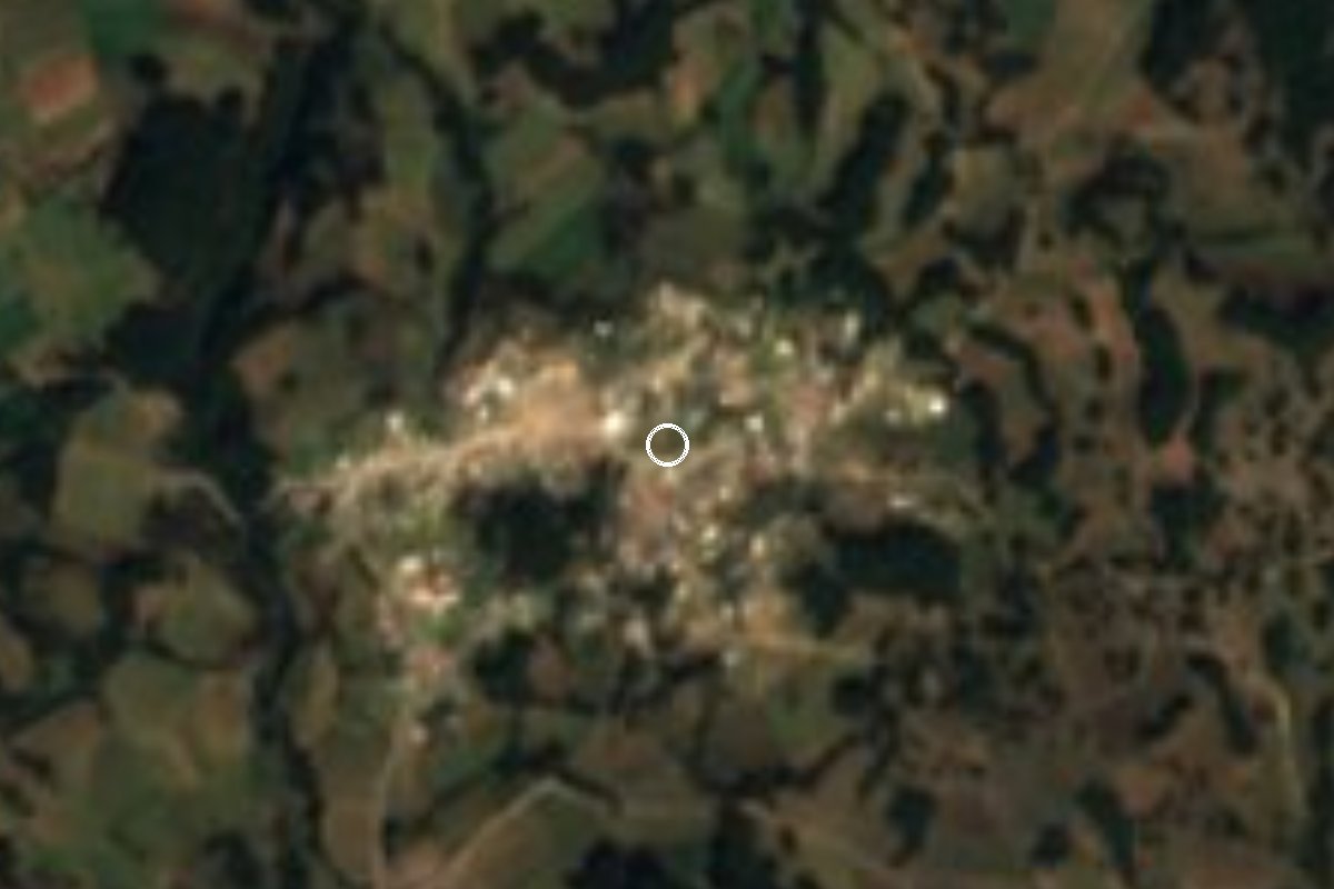
Village Perote, Veracruz Municipality of Perote Xalapa and the coffee hills
Village at almost 3,000 m on the north slope of Cofre de Perote, 17 km from Perote, on the road to El Conejo and the summit; cold all year.
From Xalapa: 45 min by car (52 km by road) How to get there ↓
Near here
See everything nearby ↓


Plan your visit to Los Pescados
Where to stay near Los Pescados
Compare hotels, posadas and guest houses in Los Pescados.
Tours to Los Pescados
Day trips and guided outings from Xico often include Los Pescados; with a local guide you can get there without a car.
How to get to Los Pescados
- From Xalapa: about 45 min by road (~52 km)
- Nearest airport: Veracruz (VER), 1 h 44 min by car to Xico
Links open a partner site. We may earn a commission if you book, at no cost to you.
About Los Pescados
Los Pescados sits at almost 3,000 metres on the northern flank of Cofre de Perote, about 17 km by road east of the town of Perote. With 1,694 residents in 2020 it ranks ninth among the municipality's more than ninety localities, and it takes in the Veinte de Noviembre ejido. The village sits practically on the edge of Cofre de Perote National Park, created in 1937 to protect the land above 3,000 metres.
The 4,200-metre volcano fills the view. Its lower slopes have been cleared for farming, mainly maize and potatoes, with pine and oak forest higher up. At this altitude the climate is semi-cold: the annual average is barely 10 °C, rain falls through much of the year and snow comes now and then; the heaviest fall recorded since 1970 was 3.4 cm in March 1987.
For anyone heading up the Cofre from the Perote side, Los Pescados is on the way: the road continues to El Conejo, at 3,250 metres, where the north route, the easiest one, sets off for the summit. Buses making that run from Perote carry a "Los Pescados" sign. About seven in ten homes have a mobile phone, but fewer than one in ten has internet. Down in Perote the patron saint, San Miguel, is celebrated on 29 September.
How to get to Los Pescados
Drive from Xalapa: 45 min, 52 km
From Perote, the nearest town, it is about 17 km and 20 minutes: leave on Avenida Alejandro von Humboldt for Federal Highway 140 (Puebla–Xalapa), follow it about 7 km toward Xalapa to Sierra de Agua, then turn right onto the local road climbing south through the Veinte de Noviembre ejido to Los Pescados. From Xalapa it is about 50 km and 45 minutes on the 140D toll road to the Perote area and then the same road. Xico, the nearest Pueblo Mágico, lies on the far side of the volcano: about 39 km and over an hour on mountain roads. By public transport, buses run from Xalapa's Central de Autobuses (CAXA) up Highway 140 to Perote; in Perote, buses signed "Los Pescados" leave from a side street near the main church and continue to El Conejo (in 2010 the fare to El Conejo was 18 pesos; check current times and fares). Bring warm clothes even in summer.
Directions to Los Pescados on Google Maps
Distances are in a straight line; the road is usually longer.
Links open a partner site. We may earn a commission if you book, at no cost to you.
From the nearest cities to Los Pescados
- Xalapa · 52 km by road, 45 min
- Teziutlán · 56 km by road, 1 h
- Martínez de la Torre · 88 km by road, 1 h 30 min
Drive times by road from OpenStreetMap, without traffic or stops. Times marked ~ are estimated from the straight-line distance.
Visiting Los Pescados: what to see and do
Cofre de Perote, 4,200 m, rising above the village.
The road to El Conejo, start of the north route to the summit.
Maize and potato fields on the slopes.
Pine and oak forest in Cofre de Perote National Park, above 3,000 m.
The 18th-century Fortaleza de San Carlos in Perote.
The feast of San Miguel in Perote, 29 September.
Plan your trip
Places to stay in Los Pescados
Compare hotels, posadas, and rentals in and around Los Pescados.
Tours & activities
Day trips and guided outings from Xico often include Los Pescados; with a local guide you can get there without a car.
Rental cars
Pick up a car at VER (Veracruz): about 1 h 44 min by road to Xico, then 22 km more to Los Pescados, on your own schedule.
Flights
The nearest airport with scheduled flights is Veracruz (VER), about 1 h 44 min by road from Xico, the base for Los Pescados.
Mobile data
Signal can drop away from Xico: download a map of the way to Los Pescados before you set out, or carry an eSIM with data.
Links open a partner site. We may earn a commission if you book, at no cost to you.
When to go to Los Pescados mild
Los Pescados shares the climate of Xico, 22 km away. The best months to visit are February, March, April, and May.
See the month-by-month climate of Xico
Weather in Los Pescados now and the next 7 days
Live forecast from Open-Meteo. Chance of rain is the day's highest.
The closest Pueblo Mágico: Xico

Xico is the Pueblo Mágico closest to Los Pescados, with places to stay, food, and more to see.
Also close to
- Coatepec · Veracruz · 23 km away
- Naolinco · Veracruz · 31 km away
- Teziutlán · Puebla · 39 km away
- Tlatlauquitepec · Puebla · 49 km away
- Coscomatepec · Veracruz · 55 km away
Closest to Los Pescados
-
El Paisano · Village · 5 km away
-
Cofre de Perote · Mountain · 7 km away
-
Fortaleza de San Carlos · Landmark · 10 km away
-
Perote · Town · 10 km away
-
La Toma · Village · 13 km away
-
La Joya · Village · 14 km away
-
Los Altos · Village · 14 km away
-
El Fresno · Village · 19 km away


Near Los Pescados


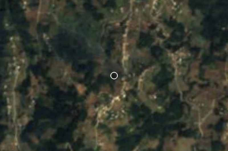


Drive times by road from OpenStreetMap, without traffic. Times marked ~ are estimated from the straight-line distance.
Location from OpenStreetMap. Written by Puebloteca.