Beach Úrsulo Galván, Veracruz Veracruz port and the Sotavento
Beach village at the mouth of the río Actopan, known for about 550 hectares of dark sand dunes used for sandboarding and ATV rides.
From Veracruz: 40 min by car (45 km by road) How to get there ↓
Near here
See everything nearby ↓


Plan your visit to Chachalacas
Where to stay near Chachalacas
Compare hotels, posadas and guest houses in Chachalacas.
Tours to Chachalacas
Day trips and guided outings from Naolinco often include Chachalacas; with a local guide you can get there without a car.
 Sandboarding and Snorkel in Chachalacas Beach
★ 5.0 (3) · From US$100
How to get to Chachalacas
- From Veracruz: about 40 min by road (~45 km)
- Nearest airport: Veracruz (VER), 1 h 55 min by car to Naolinco
Links open a partner site. We may earn a commission if you book, at no cost to you.
Popular tours to Chachalacas
Tours, prices and ratings from Viator, checked weekly. We may earn a commission if you book.
About Chachalacas
Chachalacas is the beach of the municipality of Úrsulo Galván, on the Gulf coast about 45 km north of the port of Veracruz and about 10 km from José Cardel. Two small localities share the name: Barra de Chachalacas, at the bar where the río Actopan meets the sea, with 1,379 people at the 2020 census, and Playa de Chachalacas, just to the north-east along the shore, with 1,268. Playa de Chachalacas lies about 10 m above sea level, and the municipal seat, the town of Úrsulo Galván, is about 5 km inland.
The area has long been tied to the name. The town of Úrsulo Galván was founded in 1765 as San Carlos Chachalacas and only took its present name, after the Veracruz agrarian leader Úrsulo Galván, by a decree of 13 November 1930. The municipality lives mostly from sugar cane, with two mills nearby, and from cattle, fishing and tourism. Its long beach, about 10 km in all, is popular with families; during Easter week Chachalacas receives about 20,000 visitors. The ruins of the Totonac capital Cempoala are about 10 km inland.
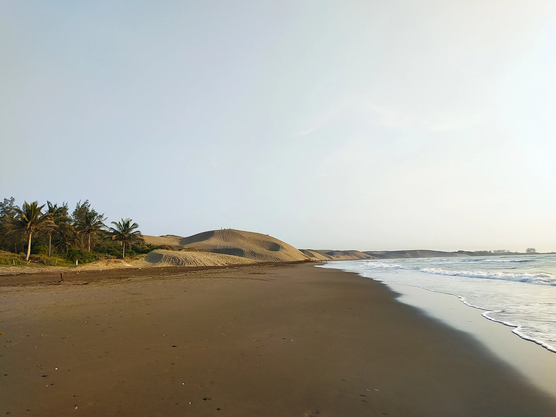
What sets Chachalacas apart is its dunes. North of the village, in front of Playa de Chachalacas, mounds of dark sand known locally as El Sabanal cover about 550 hectares and run for around 4 km along the coast, so that from the top it looks like a desert by the sea. Local operators rent ATVs and boards for sandboarding down the steeper slopes, and people also walk and camp on the dunes. Behind them there is a small freshwater lagoon with birdlife and a strip of casuarina woods. The beach itself has dark sand and open surf, and the river mouth at the Barra has hotels of one to four stars and restaurants serving fish and seafood.
How to get to Chachalacas
Drive from Veracruz: 40 min, 45 km
From the port of Veracruz, take Federal Highway 180 (the Veracruz–Cardel highway) north to Cardel, then follow the road east to Chachalacas; it is about 46 km and 45 minutes. From José Cardel it is about 10 km, and from Xalapa about 75 km, a little over an hour by car.
Directions to Chachalacas on Google Maps
Distances are in a straight line; the road is usually longer.
Links open a partner site. We may earn a commission if you book, at no cost to you.
From the nearest cities to Chachalacas
- Veracruz · 45 km by road, 40 min
- Xalapa · 76 km by road, 1 h 5 min
- Córdoba · 148 km by road, 1 h 50 min
Drive times by road from OpenStreetMap, without traffic or stops. Times marked ~ are estimated from the straight-line distance.
Before you go to Chachalacas: hours, prices and tips
- Best season
- Easter week is the busiest time, with about 20,000 visitors on the beach. Wikipedia · checked Oct 2026
Hours and prices change, especially around holidays. Each fact links to where we checked it.
Visiting Chachalacas: what to see and do
Climb the El Sabanal dunes and slide down on a sandboard.
Ride an ATV across the dunes with a local operator.
Swim or walk the long dark-sand beach.
See where the río Actopan meets the sea at the Barra and eat seafood there.
Visit the ruins of Cempoala, about 10 km inland.
Plan your trip
Places to stay in Chachalacas
Compare hotels, posadas, and rentals in and around Chachalacas.
Tours & activities
Day trips and guided outings from Naolinco often include Chachalacas; with a local guide you can get there without a car.
Rental cars
Pick up a car at VER (Veracruz): about 1 h 55 min by road to Naolinco, then 63 km more to Chachalacas, on your own schedule.
Flights
The nearest airport with scheduled flights is Veracruz (VER), about 1 h 55 min by road from Naolinco, the base for Chachalacas.
Travel insurance
If you plan on swimming or surfing at Chachalacas, check that your policy covers it: some plans leave adventure activities out.
Mobile data
Signal can drop away from Naolinco: download a map of the way to Chachalacas before you set out, or carry an eSIM with data.
Links open a partner site. We may earn a commission if you book, at no cost to you.
When to go to Chachalacas mild
Chachalacas shares the climate of Naolinco, 63 km away. The best months to visit are February, March, April, and December.
Chachalacas is best for swimming and time on the water in the warmest months (April, May, and June); in the rainiest ones (June, August, and September) expect storms in the afternoon.
See the month-by-month climate of Naolinco
Weather in Chachalacas now and the next 7 days
Live forecast from Open-Meteo. Chance of rain is the day's highest.
The closest Pueblo Mágico: Naolinco

Naolinco is the Pueblo Mágico closest to Chachalacas, with places to stay, food, and more to see.
Also close to
Closest to Chachalacas
-
José Cardel · Town · 8 km away
-
Cempoala · Archaeological site · 9 km away
-
La Antigua · Town · 11 km away
-
Quiahuiztlan · Archaeological site · 30 km away
-
Villa Rica · Village · 30 km away
-
Catedral de Veracruz · Landmark · 31 km away
-
Malecón de Veracruz · Landmark · 31 km away
-
Museo Naval México · Landmark · 31 km away


Near Chachalacas


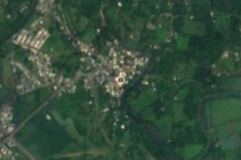


Drive times by road from OpenStreetMap, without traffic. Times marked ~ are estimated from the straight-line distance.
Lists with Chachalacas
Beaches in Veracruz · 4Location from OpenStreetMap. Written by Puebloteca.