Village Medellín de Bravo, Veracruz Veracruz port and the Sotavento
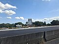
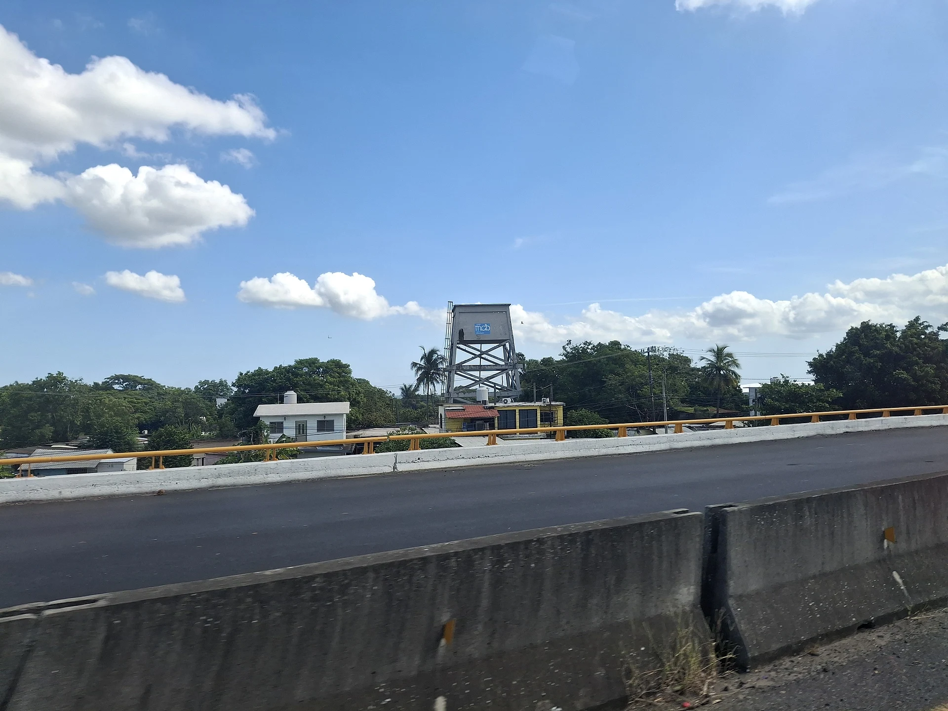
Medellín de Bravo town on Highway 180, 25 minutes from the port of Veracruz, between the Jamapa and Cotaxtla rivers and beside the railway.
From Veracruz: 25 min by car (27 km by road) How to get there ↓
Near here
See everything nearby ↓


Plan your visit to Paso del Toro
Where to stay near Paso del Toro
Compare hotels, posadas and guest houses in Paso del Toro.
Tours to Paso del Toro
Day trips and guided outings from Córdoba often include Paso del Toro; with a local guide you can get there without a car.
How to get to Paso del Toro
- From Veracruz: about 25 min by road (~27 km)
- Nearest airport: Veracruz (VER), 1 h 25 min by car to Córdoba
Links open a partner site. We may earn a commission if you book, at no cost to you.
About Paso del Toro
Paso del Toro is one of the larger communities in the municipality of Medellín de Bravo: with 5,787 people in the 2020 census it ranks fourth among the municipality's 192 localities. It lies on the Sotavento coastal plain, less than 10 metres above sea level, on the southern edge of the Veracruz metropolitan area, to which the municipality belongs.
As its name ("bull's crossing") suggests, it is above all a place people pass through. Federal Highway 180, the Gulf coast road, runs through on its way to Alvarado and the south of the state, and Federal Highway 150 from Córdoba passes close by. Ferrosur's main railway line also crosses the area, and the bed of a disused rail line can still be traced on maps. The land around is flat and watered by the municipality's two rivers, the Jamapa and the Cotaxtla, both of which flow near the town.
The climate is hot and humid, averaging 25 °C with about 1,400 mm of rain a year. Some 7 km away is Medellín, the municipal seat, an unusually early foundation: Gonzalo de Sandoval founded it on Hernán Cortés's orders after the Noche Triste, and in 1529 Bishop Juan de Zumárraga came to open its church of San Miguel Arcángel, regarded as the second in New Spain. For a beach, Antón Lizardo is about half an hour away.
How to get to Paso del Toro
Drive from Veracruz: 25 min, 27 km
From central Veracruz port it is about 27 km, roughly 25 minutes: leave along Avenida Miguel Alemán to the 150D toll road and then take Federal Highway 180 south to Paso del Toro. From Boca del Río it is about 10 km, some 11 minutes, on Federal Highway 150. From Medellín, the municipal seat, it is about 7 km on Highway 180, under 10 minutes. From Córdoba it is about 108 km on the 150D, around an hour and twenty minutes. Alvarado is some 51 km south on Highway 180. Long-distance bus travellers get off at the ADO terminal in Veracruz port and continue by local transport or taxi.
Directions to Paso del Toro on Google Maps
Distances are in a straight line; the road is usually longer.
Links open a partner site. We may earn a commission if you book, at no cost to you.
From the nearest cities to Paso del Toro
- Veracruz · 27 km by road, 25 min
- Córdoba · 109 km by road, 1 h 20 min
- Xalapa · 117 km by road, 1 h 30 min
Drive times by road from OpenStreetMap, without traffic or stops. Times marked ~ are estimated from the straight-line distance.
Visiting Paso del Toro: what to see and do
Federal Highway 180 and the railway running through town.
The Jamapa and Cotaxtla rivers nearby.
The church of San Miguel Arcángel in Medellín, the municipal seat, about 7 km away.
The beach at Antón Lizardo, about half an hour away.
Plan your trip
Places to stay in Paso del Toro
Compare hotels, posadas, and rentals in and around Paso del Toro.
Tours & activities
Day trips and guided outings from Córdoba often include Paso del Toro; with a local guide you can get there without a car.
Rental cars
Pick up a car at VER (Veracruz): about 1 h 25 min by road to Córdoba, then 85 km more to Paso del Toro, on your own schedule.
Flights
The nearest airport with scheduled flights is Veracruz (VER), about 1 h 25 min by road from Córdoba, the base for Paso del Toro.
Mobile data
Signal can drop away from Córdoba: download a map of the way to Paso del Toro before you set out, or carry an eSIM with data.
Links open a partner site. We may earn a commission if you book, at no cost to you.
When to go to Paso del Toro mild
Paso del Toro shares the climate of Córdoba, 85 km away. The best months to visit are February, March, April, and December.
See the month-by-month climate of Córdoba
Weather in Paso del Toro now and the next 7 days
Live forecast from Open-Meteo. Chance of rain is the day's highest.
The closest Pueblo Mágico: Córdoba

Córdoba is the Pueblo Mágico closest to Paso del Toro, with places to stay, food, and more to see.
Closest to Paso del Toro
-
Medellín · Village · 3 km away
-
Boca del Río · City · 8 km away
-
Laguna de Mandinga · Lagoon · 8 km away
-
Jamapa · Village · 11 km away
-
Antón Lizardo · Village · 16 km away
-
Isla de Sacrificios · Island · 16 km away
-
Acuario de Veracruz · Landmark · 17 km away
-
Baluarte de Santiago · Landmark · 18 km away


Near Paso del Toro




Drive times by road from OpenStreetMap, without traffic. Times marked ~ are estimated from the straight-line distance.
Location from OpenStreetMap. Written by Puebloteca.