Nature reserve Veracruz Municipality of Alvarado Veracruz port and the Sotavento
Coral reef national park off Veracruz, Boca del Río and Antón Lizardo: reef islands, wrecks and the best-known diving in the Gulf of Mexico.
From Veracruz: 35 min by car (30 km by road) How to get there ↓
Near here
See everything nearby ↓


Plan your visit to Sistema Arrecifal Veracruzano
Where to stay near Sistema Arrecifal Veracruzano
Compare hotels, posadas and guest houses in Sistema Arrecifal Veracruzano.
Tours to Sistema Arrecifal Veracruzano
Day trips and guided outings from Veracruz often include Sistema Arrecifal Veracruzano; with a local guide you can get there without a car.
How to get to Sistema Arrecifal Veracruzano
- From Veracruz: about 35 min by road (~30 km)
Links open a partner site. We may earn a commission if you book, at no cost to you.
About Sistema Arrecifal Veracruzano
The Parque Nacional Sistema Arrecifal Veracruzano is a marine national park protecting the coral reefs that lie off the coast of Veracruz, Boca del Río and Alvarado. It is made up of two separate groups of reefs: one directly in front of the port of Veracruz, where the nearest reefs are less than 1 km offshore, and a second off Antón Lizardo, about 20 km to the southeast. Between them they hold well over a dozen reefs and half a dozen small islands, among them Isla de Sacrificios, Isla Verde, Isla de En Medio and Santiaguillo. The reefs rise from depths of around 50 m on the continental shelf and are thought to have been growing for about 10,000 years. The park covers roughly 65,500 hectares and is run by CONANP, Mexico's protected-areas commission.
The reefs were decreed a national marine park on 24 August 1992, under President Carlos Salinas de Gortari, after a first proposal in 1975 to protect the La Blanquilla reef. On 2 February 2004 the system was listed as a Ramsar wetland of international importance, and it is also part of UNESCO's network of biosphere reserves. In late 2012, in the last weeks of Felipe Calderón's government, a decree redrew the park's boundary so that the Port of Veracruz could be expanded into the area removed; tens of thousands of coral colonies were relocated for the works and the first phase of the new port opened in 2019. Scientists and environmental lawyers still point to dredging sediment, urban drainage and possible fuel spills from shipping as the main threats to the reefs.
CONABIO counts more than 1,140 species of plants and animals in the park, including elkhorn and staghorn corals, both listed as Critically Endangered by the IUCN, five species of sea turtle, and reef fish such as the Veracruz hamlet, Hypoplectrus castroaguirrei. History lies on the seabed too: the waters around the port have been a busy anchorage since the 16th century and are said to hold more than 350 shipwrecks. Isla de Sacrificios was used for pre-Hispanic ceremonies and later served as a colonial ship-repair base and a French naval base during the Pastry War. Dive shops in Veracruz and Boca del Río run boat trips to the reefs and to wreck dives, and from Antón Lizardo boats take snorkellers out to Isla de En Medio.
How to get to Sistema Arrecifal Veracruzano
Drive from Veracruz: 35 min, 30 km
The northern reefs lie just off the city of Veracruz, and dive shops along Boulevard Manuel Ávila Camacho in Veracruz and Boca del Río run boat trips to them. For the southern group, drive about 23 km south from Boca del Río to Antón Lizardo, where boats leave from the beach; the ride to Isla de En Medio takes about 30 minutes.
Directions to Sistema Arrecifal Veracruzano on Google Maps
Distances are in a straight line; the road is usually longer.
Links open a partner site. We may earn a commission if you book, at no cost to you.
From the nearest cities to Sistema Arrecifal Veracruzano
- Veracruz · 30 km by road, 35 min
- Córdoba · 127 km by road, 1 h 40 min
- Xalapa · 129 km by road, 1 h 50 min
Drive times by road from OpenStreetMap, without traffic or stops. Times marked ~ are estimated from the straight-line distance.
Before you go to Sistema Arrecifal Veracruzano: hours, prices and tips
- Guide or tour
- Reef and wreck dives are done by boat with a dive shop; several PADI and SSI shops in Veracruz and Boca del Río run courses and trips. Wikivoyage · checked Oct 2026
- Rules
- Under rules agreed with CONANP in January 2026, paddleboard tours must stay within a 200 m strip along the shore, and kayak tours within about 1,000 m of the coast. Mexico Business News · checked Oct 2026
Hours and prices change, especially around holidays. Each fact links to where we checked it.
Visiting Sistema Arrecifal Veracruzano: what to see and do
Dive the reefs and wrecks off the port with a dive shop from Veracruz or Boca del Río.
Take a boat from Antón Lizardo to snorkel around Isla de En Medio.
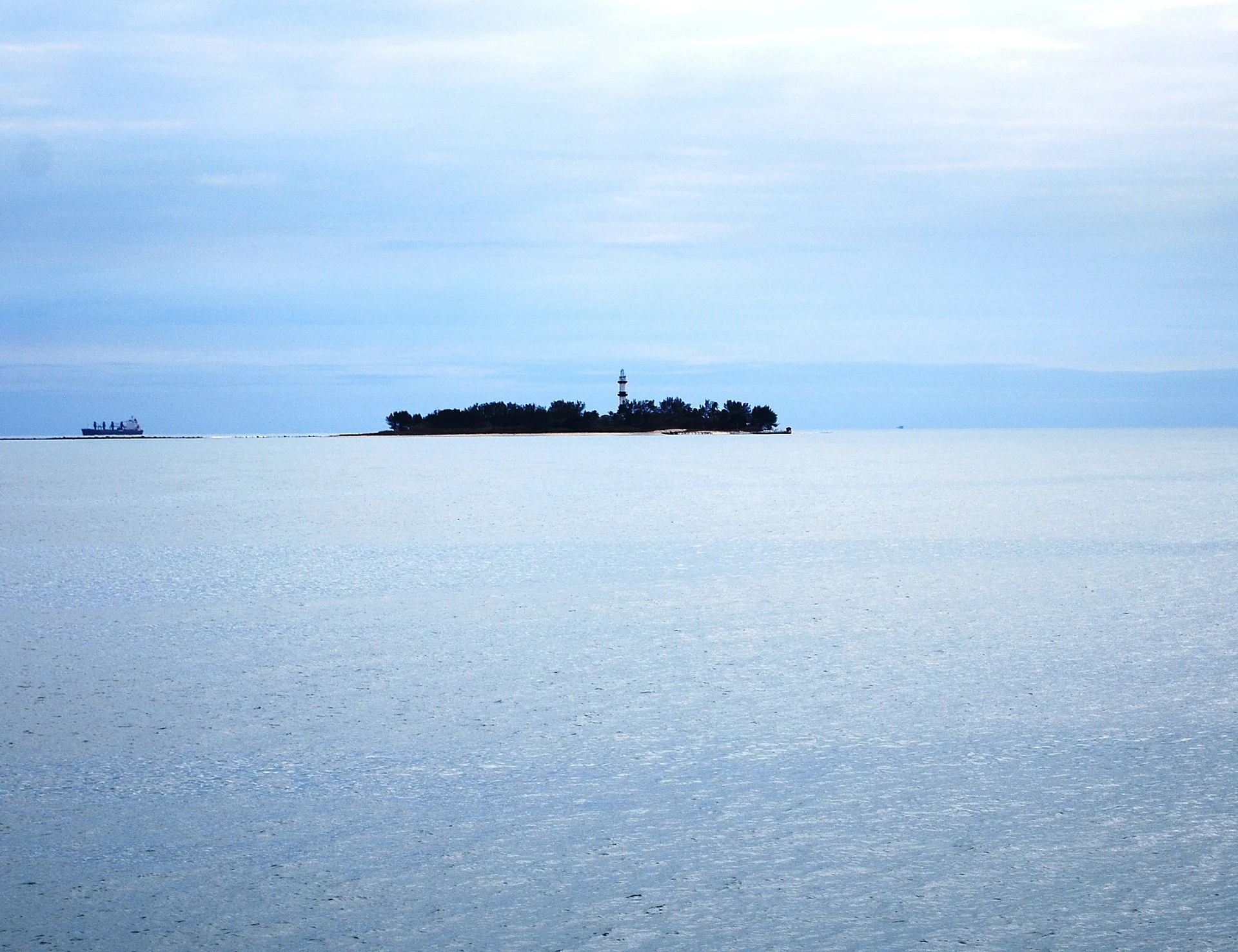
Look out to Isla de Sacrificios and its lighthouse from the Boca del Río and Veracruz waterfront.
Watch for sea turtles, corals and reef fish while snorkelling or diving.
Kayak or paddleboard close to shore within the zones set by the park.
Plan your trip
Places to stay in Sistema Arrecifal Veracruzano
Compare hotels, posadas, and rentals in and around Sistema Arrecifal Veracruzano.
Tours & activities
Day trips and guided outings from Veracruz often include Sistema Arrecifal Veracruzano; with a local guide you can get there without a car.
Travel insurance
If you plan on hiking at Sistema Arrecifal Veracruzano, check that your policy covers it: some plans leave adventure activities out.
Mobile data
Signal can drop away from Veracruz: download a map of the way to Sistema Arrecifal Veracruzano before you set out, or carry an eSIM with data.
Links open a partner site. We may earn a commission if you book, at no cost to you.
Closest to Sistema Arrecifal Veracruzano
-
Isla de En Medio · Island · 8 km away
-
Antón Lizardo · Village · 11 km away
-
Isla de Sacrificios · Island · 11 km away
-
Boca del Río · City · 14 km away
-
Acuario de Veracruz · Landmark · 15 km away
-
Baluarte de Santiago · Landmark · 16 km away
-
Malecón de Veracruz · Landmark · 16 km away
-
Museo Naval México · Landmark · 16 km away


Near Sistema Arrecifal Veracruzano


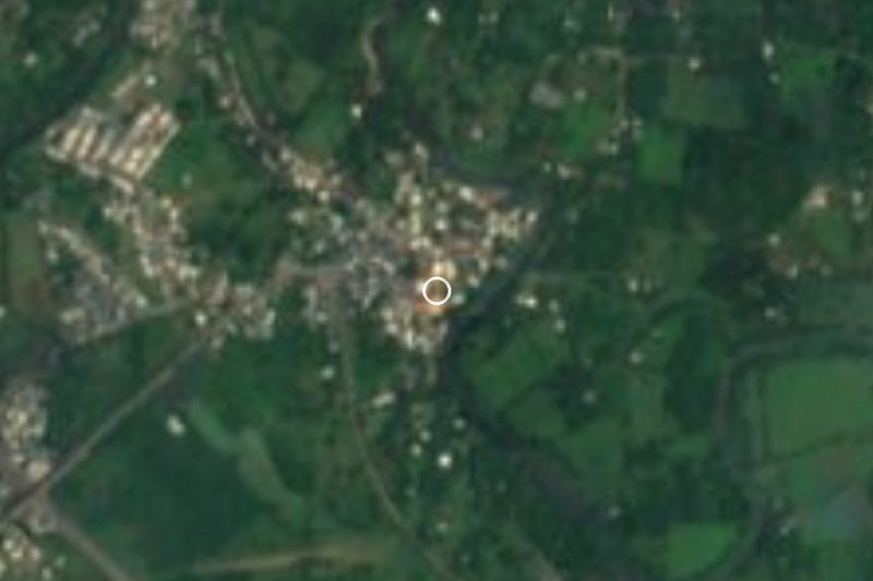


Drive times by road from OpenStreetMap, without traffic. Times marked ~ are estimated from the straight-line distance.
Lists with Sistema Arrecifal Veracruzano
Nature Parks in Veracruz · 6Location from OpenStreetMap. Written by Puebloteca.