Island Veracruz Municipality of Veracruz Veracruz port and the Sotavento
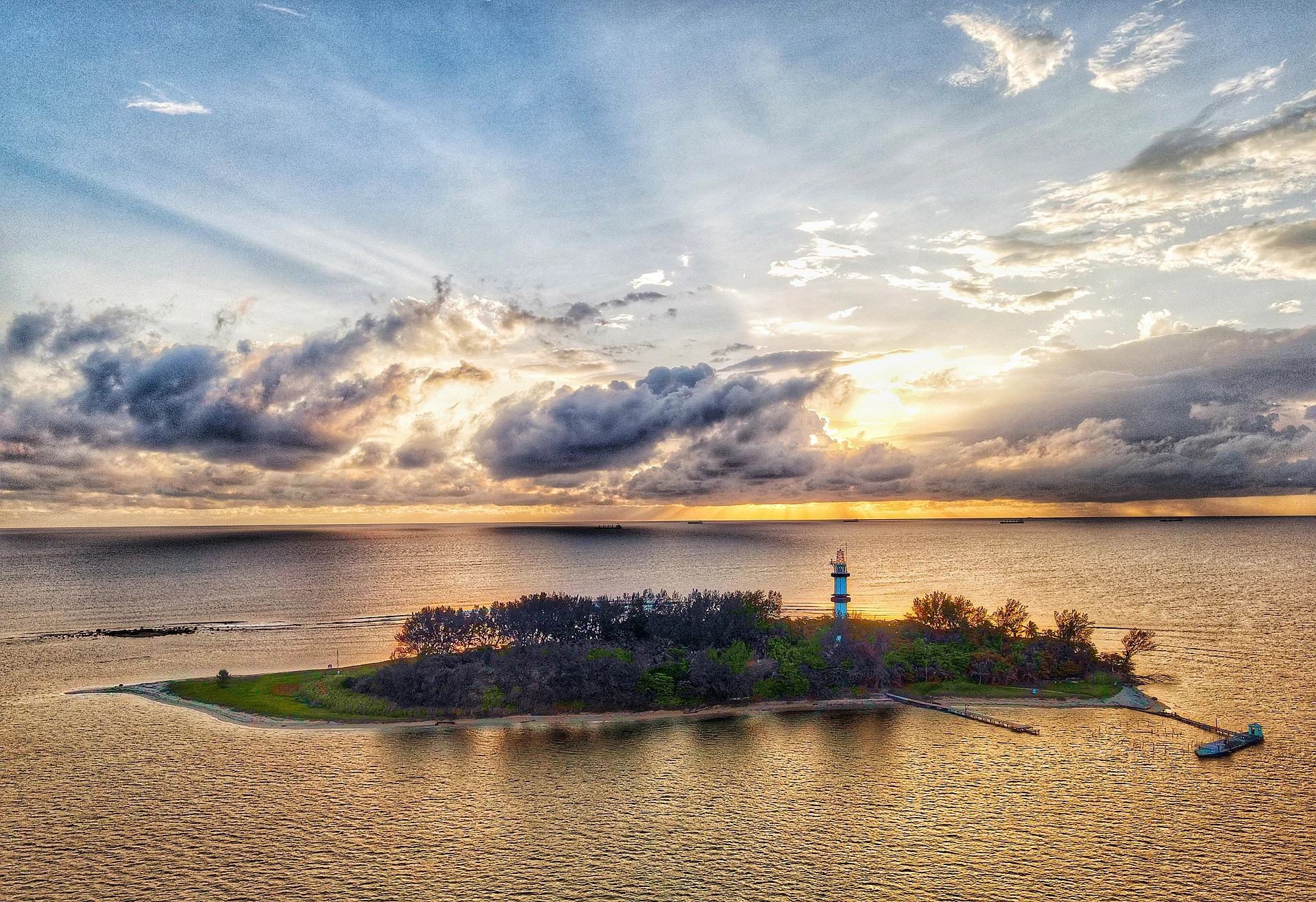
Small lighthouse island off Veracruz, named by Grijalva in 1518; closed to the public, but kayak and boat trips circle it to snorkel the reef.
Reached by boat from Playa La Bamba (kayak tours): 25 min each way. How to get there ↓
Near here
See everything nearby ↓


Plan your visit to Isla de Sacrificios
Where to stay near Isla de Sacrificios
Compare hotels, posadas and guest houses in Isla de Sacrificios.
Tours to Isla de Sacrificios
Day trips and guided outings from Córdoba often include Isla de Sacrificios; with a local guide you can get there without a car.
 Tours from Veracruz
Private Sunrise Taj Mahal Tour from Delhi By Car -All inclusive
★ 5.0 (549) · From US$14
How to get to Isla de Sacrificios
- Reached by boat from Playa La Bamba (kayak tours): 25 min each way.
- From Veracruz: about 10 min by road (~7 km)
- Nearest airport: Veracruz (VER), 1 h 25 min by car to Córdoba
Links open a partner site. We may earn a commission if you book, at no cost to you.
Tours from Veracruz, near Isla de Sacrificios


Tours, prices and ratings from Viator, checked weekly. We may earn a commission if you book.
About Isla de Sacrificios
Isla de Sacrificios is a low, sandy island about 450 metres long and 198 metres wide in the Gulf of Mexico, a short way off the shore between the port of Veracruz and Boca del Río. It is the largest of the small islands in front of the two cities and part of the Sistema Arrecifal Veracruzano national marine park, a system of coral reefs that protects the coast. A lighthouse on its southeast side still guides ships into Veracruz. The island itself has been closed to the public since the 1980s and is under the protection of the Mexican Navy (Semar).
In the Postclassic period the island was a Totonac ceremonial site, and excavations, notably by the archaeologist Alfonso Medellín Zenil, found burials, platform bases and hundreds of figurines and vessels; some of the finds are now in the British Museum. Juan de Grijalva's expedition landed in 1518 and found two stone shrines with the bodies of people sacrificed the night before, which gave the island its name. Later it was used to repair ships and as a base for attacks on Veracruz: in 1683 the pirates Laurens de Graaf and Nicholas van Hoorn retreated here after sacking the city, quarrelled and fought a duel that cost van Hoorn his life. The French used it during the Pastry War of 1838 and buried soldiers here in the 1860s, the Americans used it in 1847 and 1914, and in 1946 it served as a quarantine station for zebu cattle shipped from Brazil, an episode tied to Mexico's foot-and-mouth disease outbreak.
In 1983 a clean-up of the island removed some fifty tonnes of rubbish, and shortly afterwards it was closed to visitors because of damage to the reef, coral collecting for souvenirs and sewage. Access is now limited to research, teaching and occasional sporting events. The island has a varied birdlife, with 81 recorded species including pelicans, cormorants, frigatebirds, ospreys and peregrine falcons, and hawksbill turtles have been seen nesting on its beaches. Most visitors see it from the shore at the aquarium and the Veracruz boardwalk, or on kayak and boat tours that paddle out to the island's edge to snorkel in the shallow water over the reef.
How to get to Isla de Sacrificios
Drive from Veracruz to Playa La Bamba (kayak tours): 10 min, 7 km
The island is off the coast between Veracruz and Boca del Río, about 2 km from Playa La Bamba. Landing is not allowed, so the way to get close is a tour: kayak and snorkel trips launch from Playa La Bamba, with pick-up at hotels in central Veracruz and Boca del Río, and last about five hours in all. Paddleboard and boat trips are also offered by operators in Boca del Río.
Reached by boat from Playa La Bamba (kayak tours): 25 min each way.
Directions to Isla de Sacrificios on Google Maps
Distances are in a straight line; the road is usually longer.
Links open a partner site. We may earn a commission if you book, at no cost to you.
From the nearest cities to Isla de Sacrificios
- Veracruz · 7 km by road, 10 min to Playa La Bamba (kayak tours), then 25 min by boat
- Xalapa · 107 km by road, 1 h 25 min to Playa La Bamba (kayak tours), then 25 min by boat
- Córdoba · 113 km by road, 1 h 25 min to Playa La Bamba (kayak tours), then 25 min by boat
Drive times by road from OpenStreetMap, without traffic or stops. Times marked ~ are estimated from the straight-line distance.
Before you go to Isla de Sacrificios: hours, prices and tips
- Guide or tour
- Kayak-and-snorkel tours leave from Playa La Bamba with hotel pick-up, a Spanish-speaking guide and gear included, about five hours, from MXN 1,300; not for children under 6. Civitatis · checked Oct 2026
- Rules
- The island is closed to the public and protected by the Mexican Navy; visitors may only approach it by water, not land on it. Wikipedia · checked Oct 2026
Hours and prices change, especially around holidays. Each fact links to where we checked it.
Visiting Isla de Sacrificios: what to see and do
See the island and its lighthouse from the shore by the aquarium and the Veracruz boardwalk.
Paddle out on a kayak tour and snorkel in the shallow water at the island's edge.
Watch for pelicans, cormorants and frigatebirds around the island.
See pottery from the island's Totonac shrine in museum collections such as the British Museum's.
Plan your trip
Places to stay in Isla de Sacrificios
Compare hotels, posadas, and rentals in and around Isla de Sacrificios.
Tours & activities
Day trips and guided outings from Córdoba often include Isla de Sacrificios; with a local guide you can get there without a car.
Rental cars
Pick up a car at VER (Veracruz): about 1 h 25 min by road to Córdoba, then 94 km more to Isla de Sacrificios, on your own schedule.
Flights
The nearest airport with scheduled flights is Veracruz (VER), about 1 h 25 min by road from Córdoba, the base for Isla de Sacrificios.
Mobile data
Signal can drop away from Córdoba: download a map of the way to Isla de Sacrificios before you set out, or carry an eSIM with data.
Links open a partner site. We may earn a commission if you book, at no cost to you.
When to go to Isla de Sacrificios mild
Isla de Sacrificios shares the climate of Córdoba, 94 km away. The best months to visit are February, March, April, and December.
See the month-by-month climate of Córdoba
Weather in Isla de Sacrificios now and the next 7 days
Live forecast from Open-Meteo. Chance of rain is the day's highest.
The closest Pueblo Mágico: Córdoba

Córdoba is the Pueblo Mágico closest to Isla de Sacrificios, with places to stay, food, and more to see.
Closest to Isla de Sacrificios
-
Acuario de Veracruz · Landmark · 3 km away
-
Baluarte de Santiago · Landmark · 5 km away
-
Malecón de Veracruz · Landmark · 5 km away
-
Museo Naval México · Landmark · 5 km away
-
Catedral de Veracruz · Landmark · 6 km away
-
San Juan de Ulúa · Landmark · 6 km away
-
Veracruz · City · 6 km away
-
Boca del Río · City · 8 km away


Near Isla de Sacrificios
-
Paso del Toro · Village · Veracruz
45 min: 25 min by boat back to Playa La Bamba (kayak tours), then drive -
Medellín · Village · Veracruz
45 min: 25 min by boat back to Playa La Bamba (kayak tours), then drive -
Antón Lizardo · Village · Veracruz
55 min: 25 min by boat back to Playa La Bamba (kayak tours), then drive -
Sistema Arrecifal Veracruzano · Nature reserve · Veracruz
55 min: 25 min by boat back to Playa La Bamba (kayak tours), then drive -
La Antigua · Town · Veracruz
55 min: 25 min by boat back to Playa La Bamba (kayak tours), then drive -
Laguna de Mandinga · Lagoon · Veracruz
55 min: 25 min by boat back to Playa La Bamba (kayak tours), then drive -
Manlio Fabio Altamirano · Town · Veracruz
1 h: 25 min by boat back to Playa La Bamba (kayak tours), then drive -
Las Remojadas · Village · Veracruz
1 h 10 min: 25 min by boat back to Playa La Bamba (kayak tours), then drive -
Cempoala · Archaeological site · Veracruz
1 h 10 min: 25 min by boat back to Playa La Bamba (kayak tours), then drive

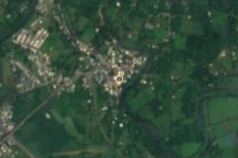


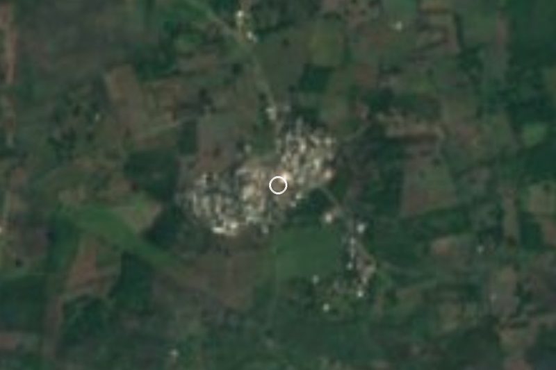

Drive times by road from OpenStreetMap, without traffic. Times marked ~ are estimated from the straight-line distance.
Location from OpenStreetMap. Written by Puebloteca.