


Town Acultzingo, Veracruz Altas Montañas (Orizaba and Córdoba)
A mountain town below the Cumbres de Acultzingo, the steep, winding pass on the old Puebla road with sweeping valley views.
From Orizaba: 30 min by car (28 km by road) How to get there ↓
Near here
See everything nearby ↓


Plan your visit to Acultzingo
Where to stay near Acultzingo
Orizaba, 25 km away, is the closest town with places to stay.
Casa de la iaia Hotel Hotel · ★★★ · 360 m from the center Prices Tres79 Hotel Boutique Orizaba Hotel · ★★★ · 360 m from the center PricesTours to Acultzingo
Day trips around Orizaba sometimes stop in Acultzingo; a tour is the easy way to see it without a car.
How to get to Acultzingo
- From Orizaba: about 30 min by road (~28 km)
- 25 km southwest of Orizaba
- Nearest airport: Veracruz (VER), 1 h 42 min by car to Orizaba
Links open a partner site. We may earn a commission if you book, at no cost to you.
About Acultzingo
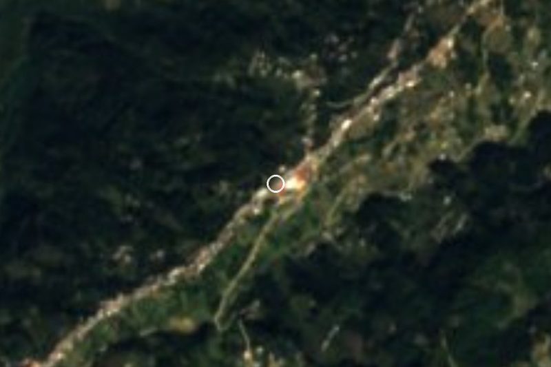
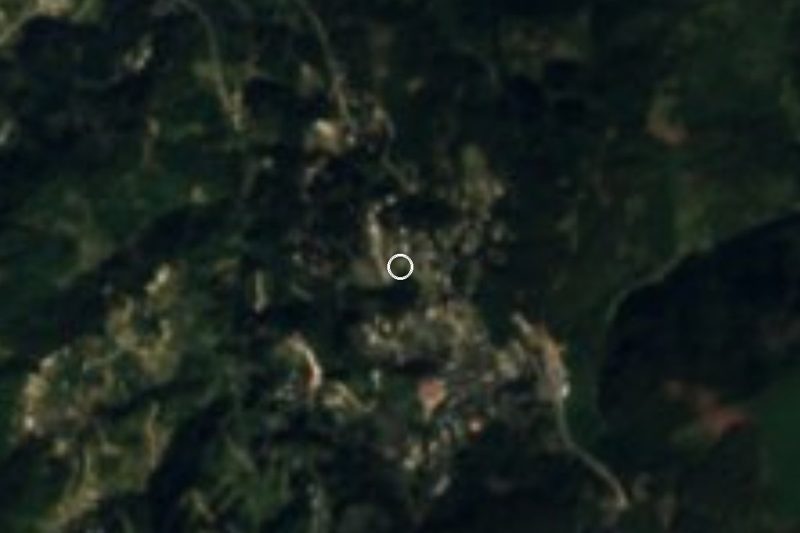
Acultzingo is a small town at the western edge of Veracruz, where the mountains rise steeply toward the high plateau of Puebla. Above it are the Cumbres de Acultzingo, the pass that has been known since colonial times as the roughest stretch of the road between the port of Veracruz and Mexico City. The old federal highway 150 still climbs it in a chain of tight switchbacks.
The pass has its place in history. On April 28, 1862, French troops marching inland fought Mexican forces under General Ignacio Zaragoza here. Zaragoza pulled back to Puebla, where a week later, on May 5, his army defeated the French in the battle now celebrated as Cinco de Mayo.
Today most traffic takes the toll highway through Maltrata, so the drive over the Cumbres is quieter. On a clear day it opens up long views back over the green Acultzingo valley and the folded ridges of the Sierra Madre Oriental. In town, the parish church of San Juan Bautista is worth a stop.
How to get to Acultzingo
Drive from Orizaba: 30 min, 28 km
Acultzingo is about 45 minutes west of Orizaba by car on the old federal highway 150 through Nogales and Ciudad Mendoza toward Tehuacán. The road over the Cumbres is steep and full of sharp curves, with heavy trucks and frequent fog, so drive slowly and in daylight.
25 km southwest of Orizaba
Directions from Orizaba on Google Maps
Distances are in a straight line; the road is usually longer.
Links open a partner site. We may earn a commission if you book, at no cost to you.
From the nearest cities to Acultzingo
Drive times by road from OpenStreetMap, without traffic or stops. Times marked ~ are estimated from the straight-line distance.
Visiting Acultzingo: what to see and do
Drive up the switchbacks of the Cumbres de Acultzingo and stop at safe pullouts for the views.
Visit the church of San Juan Bautista in town.
Remember the 1862 battle that came a week before Cinco de Mayo.
Bring a jacket: the pass is often cool and foggy.
Plan your trip
Places to stay in Acultzingo
Compare hotels, posadas, and rentals in and around Acultzingo.
Tours & activities
Day trips around Orizaba sometimes stop in Acultzingo; a tour is the easy way to see it without a car.
Rental cars
Pick up a car at VER (Veracruz): about 1 h 42 min by road to Orizaba, then 25 km more to Acultzingo, on your own schedule.
Flights
The nearest airport with scheduled flights is Veracruz (VER), about 1 h 42 min by road from Orizaba, the base for Acultzingo.
Mobile data
Signal can drop away from Orizaba: download a map of the way to Acultzingo before you set out, or carry an eSIM with data.
Links open a partner site. We may earn a commission if you book, at no cost to you.
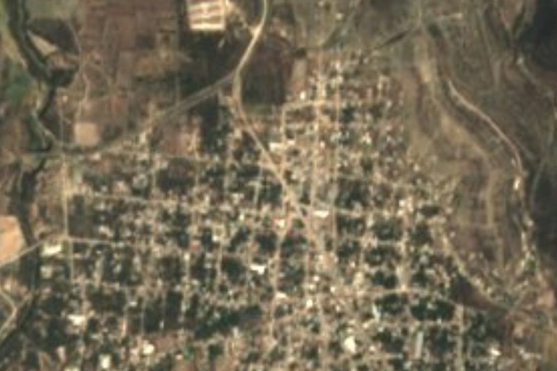
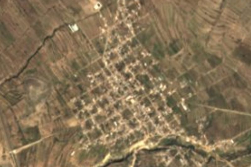
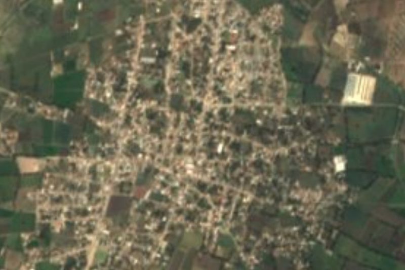
Photos
When to go to Acultzingo mild
Acultzingo shares the climate of Orizaba, 25 km away. The best months to visit are February, March, April, and December.
See the month-by-month climate of Orizaba
Weather in Acultzingo now and the next 7 days
Live forecast from Open-Meteo. Chance of rain is the day's highest.
Make Orizaba your base

Acultzingo is an easy trip from Orizaba, a Pueblo Mágico with places to stay, food, and more to see.
Also close to
- Córdoba · Veracruz · 43 km away
- Coscomatepec · Veracruz · 48 km away
Closest to Acultzingo
-
Tecamalucan · Village · 10 km away · Veracruz
-
Atzompa · Village · 12 km away · Veracruz
-
Boca del Monte · Village · 12 km away · Puebla
-
Morelos Cañada · Village · 12 km away · Puebla
-
Azumbilla · Village · 13 km away · Puebla
-
Huitzila · Village · 14 km away · Veracruz
-
Otzelotzi · Mountain · 14 km away · Puebla
-
San José Cuyachapa · Village · 15 km away · Puebla

Near Acultzingo






Drive times by road from OpenStreetMap, without traffic. Times marked ~ are estimated from the straight-line distance.
Something wrong or missing on this page? Suggest a fix or addition
Location from OpenStreetMap. Written by Puebloteca.