

Mountain Vicente Guerrero, Puebla Tehuacán Valley
Extinct 3,087 m volcano northeast of Tehuacán whose lava dammed the three San Bernardino lakes, with boats and fishing below.
From Tehuacán: 50 min by car (44 km by road) How to get there ↓
Near here
See everything nearby ↓




Plan your visit to Otzelotzi
Where to stay near Otzelotzi
Compare hotels, posadas and guest houses in Otzelotzi.
Tours to Otzelotzi
Day trips and guided outings from Orizaba often include Otzelotzi; with a local guide you can get there without a car.
How to get to Otzelotzi
- From Tehuacán: about 50 min by road (~44 km)
- Nearest airport: Veracruz (VER), 1 h 42 min by car to Orizaba
Links open a partner site. We may earn a commission if you book, at no cost to you.
About Otzelotzi
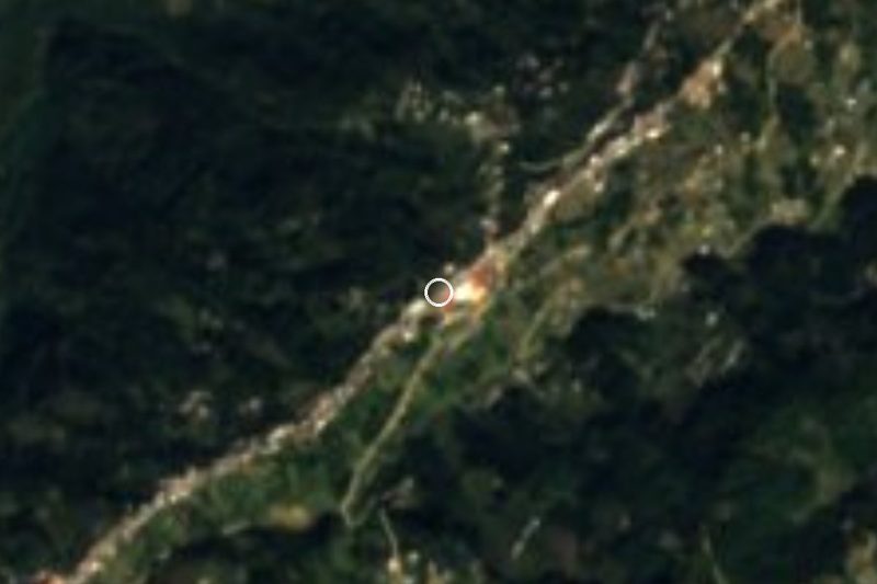
Otzelotzi is a 3,087 m volcanic cone in Vicente Guerrero municipality, about 20 km in a straight line northeast of Tehuacán and 32 km south-southwest of Orizaba. Its base is over 2 km across, and ravines up to 500 m deep cut around it. Wikipedia places it in the Sierra Madre del Sur near the junction with the Trans-Mexican Volcanic Belt, while México Desconocido counts it among that belt's southernmost volcanoes in Puebla. It is thought to be Quaternary, only a few tens of thousands of years old according to geologist Agustín Ruiz Violante.
The real draw lies at its foot. Old lava flows blocked the valleys and created the San Bernardino lakes: Laguna Chica, brownish, at 2,440 m; Laguna Grande, green, at 2,500 m; and the blue Lagunilla at 2,600 m. Boats can be hired on Laguna Grande, which has restaurants and cabins nearby; the Lagunilla is deep with internal currents, better for fishing bass, trout and pescado blanco than for swimming.
The name is linked to a Nahuatl word for pregnancy, and some have suggested the hill was tied to fertility rites, though that remains a guess. A firmer tradition: on New Year's Eve the community climbs a path of about 500 m to the summit, lit by candles and lined with twelve crosses, to hear Mass at the top. On clear days the summit looks out to Pico de Orizaba, Popocatépetl and Iztaccíhuatl.
How to get to Otzelotzi
Drive from Tehuacán: 50 min, 44 km
The base for the climb is San Bernardino Lagunas. From Tehuacán, the nearest city, take federal highway 150 toward Orizaba for about 17 km, past the Azumbilla junction, then state road PUE 726 toward Nicolás Bravo for about 20 km more: some 43 km and roughly 50 minutes in all. The road is paved except for a short dirt stretch at the entrance to San Bernardino. From Orizaba, the nearest Pueblo Mágico, it is about 69 km, roughly 1 h 15 min, on highways 150D and 150 over the Cumbres de Acultzingo. From the city of Puebla it is about 140 km and about 2 hours via toll road 150D. The trail to the summit starts from the road that loops around the volcano's south side.
Directions to Otzelotzi on Google Maps
Distances are in a straight line; the road is usually longer.
Links open a partner site. We may earn a commission if you book, at no cost to you.
From the nearest cities to Otzelotzi
- Tehuacán · 44 km by road, 50 min
- Orizaba · 70 km by road, 1 h 15 min
- Córdoba · 93 km by road, 1 h 30 min
Drive times by road from OpenStreetMap, without traffic or stops. Times marked ~ are estimated from the straight-line distance.
Before you go to Otzelotzi: hours, prices and tips
- Best season
- On New Year's Eve the community climbs to the summit for Mass along a candle-lit path. México Desconocido · checked Oct 2026
Hours and prices change, especially around holidays. Each fact links to where we checked it.
Visiting Otzelotzi: what to see and do
The climb to the summit, with views of Pico de Orizaba and, on clear days, Popocatépetl and Iztaccíhuatl.
Laguna Grande de San Bernardino, with boat hire and lakeside restaurants.
Laguna Chica and the Lagunilla, each a different colour.
Bass and trout fishing at the Lagunilla.
The New Year's Eve Mass on the summit, with the path lit by candles.
Plan your trip
Places to stay in Otzelotzi
Compare hotels, posadas, and rentals in and around Otzelotzi.
Tours & activities
Day trips and guided outings from Orizaba often include Otzelotzi; with a local guide you can get there without a car.
Rental cars
Pick up a car at VER (Veracruz): about 1 h 42 min by road to Orizaba, then 32 km more to Otzelotzi, on your own schedule.
Flights
The nearest airport with scheduled flights is Veracruz (VER), about 1 h 42 min by road from Orizaba, the base for Otzelotzi.
Travel insurance
If you plan on hiking at altitude at Otzelotzi, check that your policy covers it: some plans leave adventure activities out.
Mobile data
Signal can drop away from Orizaba: download a map of the way to Otzelotzi before you set out, or carry an eSIM with data.
Links open a partner site. We may earn a commission if you book, at no cost to you.
When to go to Otzelotzi mild
Otzelotzi shares the climate of Orizaba, 32 km away. The best months to visit are February, March, April, and December.
For the clearest views from Otzelotzi, go in the driest months (February, March, April, and December); in the rains, clouds tend to build up by midday.
See the month-by-month climate of Orizaba
Weather in Otzelotzi now and the next 7 days
Live forecast from Open-Meteo. Chance of rain is the day's highest.
The closest Pueblo Mágico: Orizaba

Orizaba is the Pueblo Mágico closest to Otzelotzi, with places to stay, food, and more to see.
Also close to
- Córdoba · Veracruz · 47 km away
- Coscomatepec · Veracruz · 57 km away
- Huautla · Oaxaca · 67 km away
Closest to Otzelotzi
-
Alhuaca · Village · 10 km away
-
Xoxocotla · Village · 12 km away
-
Acultzingo · Town · 14 km away
-
Atzompa · Village · 16 km away
-
Azumbilla · Village · 16 km away
-
Chapulco · Town · 16 km away
-
Huitzila · Village · 16 km away
-
Tecamalucan · Village · 18 km away

Near Otzelotzi





Drive times by road from OpenStreetMap, without traffic. Times marked ~ are estimated from the straight-line distance.
Lists with Otzelotzi
Mountains in Puebla · 8 Mountains near Coscomatepec · 4Location from OpenStreetMap. Written by Puebloteca.