Village Xoxocotla, Veracruz Altas Montañas (Orizaba and Córdoba)
Highland municipal seat in the Sierra de Zongolica, around 2,100 m up among pines; wool blankets and a San Isidro Labrador feast in May.
From Orizaba: 50 min by car (36 km by road) How to get there ↓
Near here
See everything nearby ↓


Plan your visit to Xoxocotla
Where to stay near Xoxocotla
Compare hotels, posadas and guest houses in Xoxocotla.
Tours to Xoxocotla
Day trips and guided outings from Orizaba often include Xoxocotla; with a local guide you can get there without a car.
How to get to Xoxocotla
- From Orizaba: about 50 min by road (~36 km)
- Nearest airport: Veracruz (VER), 1 h 42 min by car to Orizaba
Links open a partner site. We may earn a commission if you book, at no cost to you.
About Xoxocotla
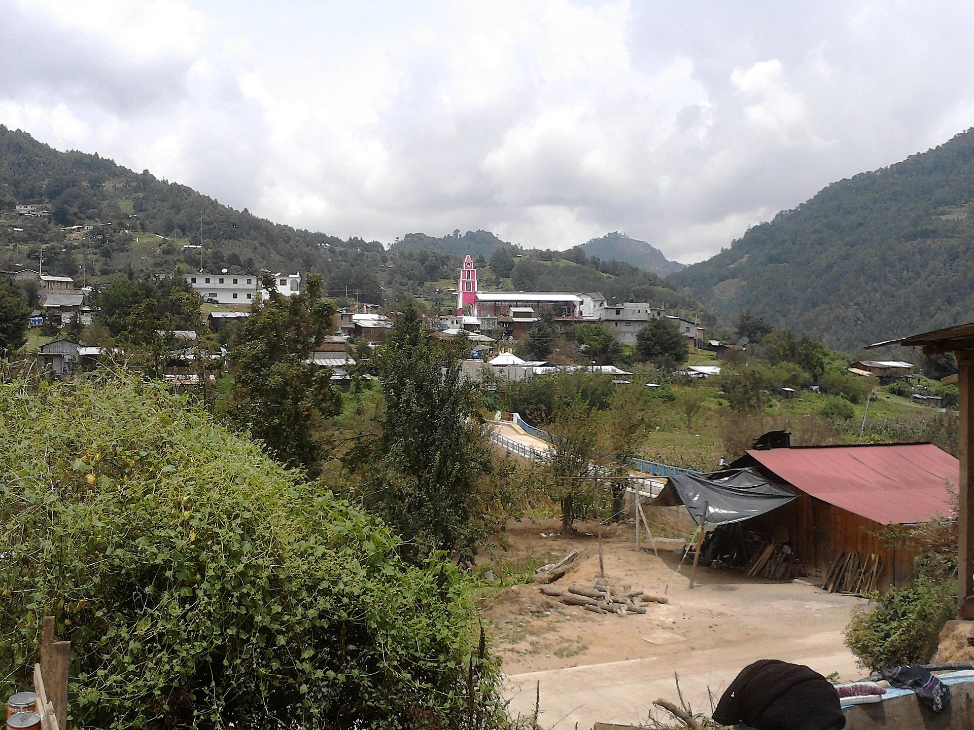
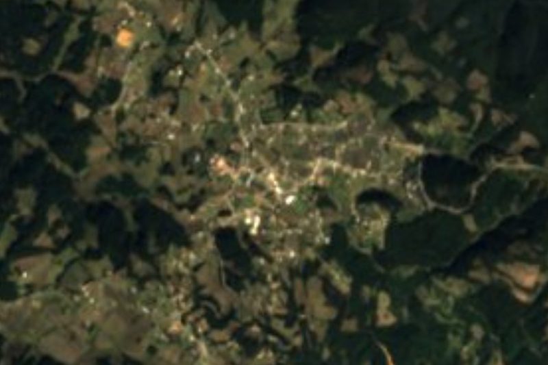
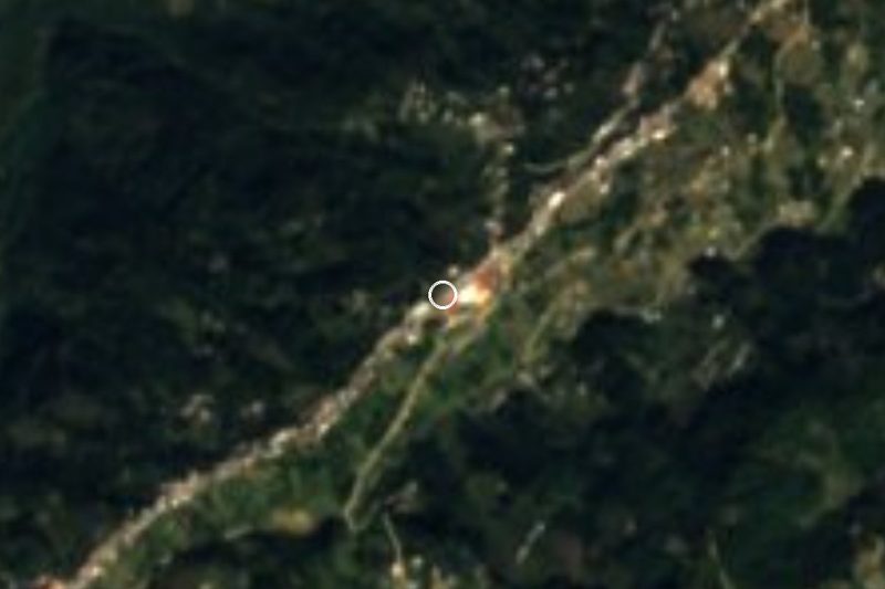
Xoxocotla is the seat of the municipality of the same name, high in the Sierra de Zongolica south of Orizaba, right on the border with Puebla. The village sits at about 2,100 metres in a valley ringed by forested hills, and had 2,790 residents in 2020. The Nahuatl name translates as "place where green ocote pines abound", and pine wood is still one of the municipality's main sources of income. Across the municipality nearly everyone identifies as Indigenous, and close to a quarter of residents speak Nahuatl.
Local records trace the village to a chapel for San Isidro Labrador built in 1841 beside the San Simón River; later the settlement moved to the middle of the valley. In 1846 the pueblo of San Salvador Xoxocotla secured its own land. Work on a courthouse began in 1873, the building became a school in 1878, and the town hall went up that same year. The Xoxocotla ejido received final title to its land in 1944.
The climate is temperate with sharp swings, averaging around 12 °C, with heavy summer rain and drizzle in winter. Pine, oak and sacred fir cover the hills. Farmers grow broad beans, barley, maize and beans and raise pigs and sheep, and the wool is woven at home into blankets and mangas, the poncho-like wrap worn against the mountain cold. Mole and lamb barbacoa are the local dishes.
Most of the festive calendar falls in May: the Virgin of Juquila on the 2nd and 3rd, then the patron saint, San Isidro Labrador, from the 14th to the 16th. The Virgin of Guadalupe follows on 11 and 12 December.
How to get to Xoxocotla
Drive from Orizaba: 50 min, 36 km
From Orizaba, the nearest Pueblo Mágico and city, it is about 37 km and roughly 50 minutes by car: leave on Calle Sur 11 and Calzada San José for Federal Highway 123 (Orizaba–Zongolica), climb about 16 km to Tequila, then leave the highway for mountain roads through Atlahuilco that drop into the Xoxocotla valley, entering on Avenida Benito Juárez. These are mountain roads, best driven in daylight. By bus, head first for Orizaba, served by ADO, ADO GL, AU and UNO. We found no published timetable for any direct service from Orizaba to Xoxocotla, so ask at the terminal or in the centre about local transport up to Tequila and on to Xoxocotla. Xalapa is about 100 km away by road.
Directions to Xoxocotla on Google Maps
Distances are in a straight line; the road is usually longer.
Links open a partner site. We may earn a commission if you book, at no cost to you.
From the nearest cities to Xoxocotla
Drive times by road from OpenStreetMap, without traffic or stops. Times marked ~ are estimated from the straight-line distance.
Visiting Xoxocotla: what to see and do
The Catholic church, the municipality's main historic monument.
The town hall, built in 1878.
Hand-woven wool blankets and mangas.
The pine, oak and fir forest on the hills around the valley.
The feast of San Isidro Labrador, 14 to 16 May.
The feast of the Virgin of Juquila, 2 and 3 May.
Lamb barbacoa and mole.
Plan your trip
Places to stay in Xoxocotla
Compare hotels, posadas, and rentals in and around Xoxocotla.
Tours & activities
Day trips and guided outings from Orizaba often include Xoxocotla; with a local guide you can get there without a car.
Rental cars
Pick up a car at VER (Veracruz): about 1 h 42 min by road to Orizaba, then 23 km more to Xoxocotla, on your own schedule.
Flights
The nearest airport with scheduled flights is Veracruz (VER), about 1 h 42 min by road from Orizaba, the base for Xoxocotla.
Mobile data
Signal can drop away from Orizaba: download a map of the way to Xoxocotla before you set out, or carry an eSIM with data.
Links open a partner site. We may earn a commission if you book, at no cost to you.
When to go to Xoxocotla mild
Xoxocotla shares the climate of Orizaba, 23 km away. The best months to visit are February, March, April, and December.
See the month-by-month climate of Orizaba
Weather in Xoxocotla now and the next 7 days
Live forecast from Open-Meteo. Chance of rain is the day's highest.
The closest Pueblo Mágico: Orizaba

Orizaba is the Pueblo Mágico closest to Xoxocotla, with places to stay, food, and more to see.
Also close to
- Córdoba · Veracruz · 36 km away
- Coscomatepec · Veracruz · 48 km away
- Huautla · Oaxaca · 66 km away
Closest to Xoxocotla
-
Atlahuilco · Village · 8 km away
-
Huitzila · Village · 8 km away
-
Alhuaca · Village · 9 km away
-
Atzompa · Village · 9 km away
-
Otzelotzi · Mountain · 12 km away
-
Tecamalucan · Village · 15 km away
-
Zongolica · Town · 16 km away
-
Magdalena · Town · 17 km away


Near Xoxocotla


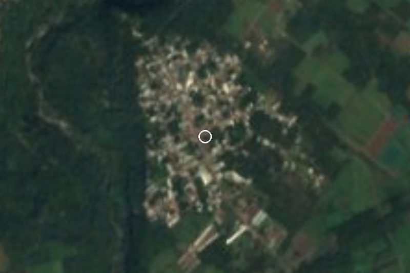
Drive times by road from OpenStreetMap, without traffic. Times marked ~ are estimated from the straight-line distance.
Location from OpenStreetMap. Written by Puebloteca.