

Village Libres, Puebla Municipality of Libres
Neighbourhood of Ciudad de Libres, the old Villa de los Libres, on the edge of the Llanos de San Juan between the plain and the Sierra Norte.
From Huamantla: 35 min by car (44 km by road) How to get there ↓
Near here
See everything nearby ↓


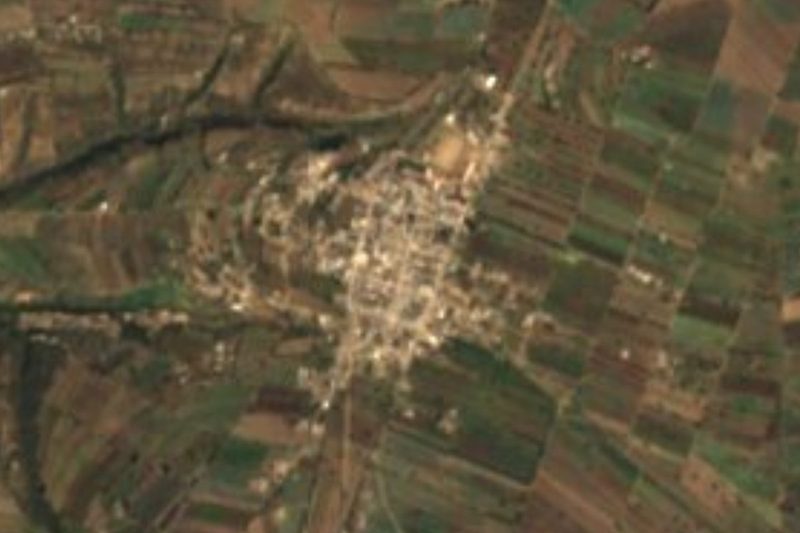
Plan your visit to San Miguel
Where to stay near San Miguel
Compare hotels, posadas and guest houses in San Miguel.
Tours to San Miguel
Day trips and guided outings from Huamantla often include San Miguel; with a local guide you can get there without a car.
 Tours from Puebla City
Africam Safari Zoo Admission with Transportation
★ 4.8 (87) · From US$35
How to get to San Miguel
- From Huamantla: about 35 min by road (~44 km)
- Nearest airport: Puebla (PBC), 1 h 5 min by car to Huamantla
Links open a partner site. We may earn a commission if you book, at no cost to you.
Tours from Puebla City, near San Miguel


Tours, prices and ratings from Viator, checked weekly. We may earn a commission if you book.
About San Miguel
San Miguel is one of the barrios of Ciudad de Libres, a few blocks from the town hall in the photo. Like the town's other outlying barrios, it holds its own festival for the saint venerated in its chapel, separate from the big Saint John's fair on 24 June.
The name Libres is a legacy of the War of Reform. On 9 February 1860 the old San Juan de los Llanos was renamed Villa de los Libres because three years earlier it had been occupied by the liberal forces of General Miguel Cástulo de Alatriste. It became a free municipality in 1894 and was made a city on 22 November 1989. Ciudad de Libres had 18,110 people in 2020 and stands at about 2,380 m. The town even has an unusual local figure: according to INEGI's municipal compendium, Trinidad Alonso Báez built a piano here in a three-year project, using Mexican and imported materials.
The municipality, about 275 km², has two faces. To the east is a former lake-bed plain, the Llanos de San Juan, farmed on a large scale for barley, maize, tomatoes, potatoes and alfalfa; to the west is sierra, with pine, oak and fir woods and small plots watered by streams. About 12 km from the seat, at Rancho Viejo, there are rock paintings. Local cooking includes lamb barbacoa, broad-bean stews and chileatole, and the music runs from corridos to marimba and brass band.
How to get to San Miguel
Drive from Huamantla: 35 min, 44 km
The barrio of San Miguel is in Ciudad de Libres, about 71 km in a straight line from Puebla city. Take the Puebla–Perote–Xalapa highway and exit for Libres, or a direct bus from the CAPU; the town is easy to walk.
Directions to San Miguel on Google Maps
Distances are in a straight line; the road is usually longer.
Links open a partner site. We may earn a commission if you book, at no cost to you.
From the nearest cities to San Miguel
- Huamantla · 44 km by road, 35 min
- Teziutlán · 65 km by road, 50 min
- Chiautempan · 84 km by road, 1 h 10 min
Drive times by road from OpenStreetMap, without traffic or stops. Times marked ~ are estimated from the straight-line distance.
Visiting San Miguel: what to see and do
The town hall and central Libres.
The church of San Juan Bautista de los Llanos.
The rock paintings at Rancho Viejo.
Plan your trip
Places to stay in San Miguel
Compare hotels, posadas, and rentals in and around San Miguel.
Tours & activities
Day trips and guided outings from Huamantla often include San Miguel; with a local guide you can get there without a car.
Rental cars
Pick up a car at PBC (Puebla): about 1 h 5 min by road to Huamantla, then 30 km more to San Miguel, on your own schedule.
Flights
The nearest airport with scheduled flights is Puebla (PBC), about 1 h 5 min by road from Huamantla, the base for San Miguel.
Mobile data
Signal can drop away from Huamantla: download a map of the way to San Miguel before you set out, or carry an eSIM with data.
Links open a partner site. We may earn a commission if you book, at no cost to you.
When to go to San Miguel cool
San Miguel shares the climate of Huamantla, 30 km away. The best months to visit are January, February, November, and December.
See the month-by-month climate of Huamantla
Weather in San Miguel now and the next 7 days
Live forecast from Open-Meteo. Chance of rain is the day's highest.
The closest Pueblo Mágico: Huamantla

Huamantla is the Pueblo Mágico closest to San Miguel, with places to stay, food, and more to see.
Also close to
- Ixtenco · Tlaxcala · 35 km away
- Tetela de Ocampo · Puebla · 41 km away
- Tlatlauquitepec · Puebla · 48 km away
- Tlaxco · Tlaxcala · 48 km away
- Chignahuapan · Puebla · 54 km away
Closest to San Miguel
-
Libres · Town · 0 km away
-
San Juan · Village · 1 km away
-
San Carlos · Village · 3 km away
-
Atltzayanca · Town · 12 km away
-
Oriental · Village · 12 km away
-
Concepción Hidalgo · Town · 15 km away
-
Villa de El Carmen Tequexquitla · Town · 16 km away
-
Chipilo (Ixtacamaxtitlán) · Village · 17 km away

Near San Miguel






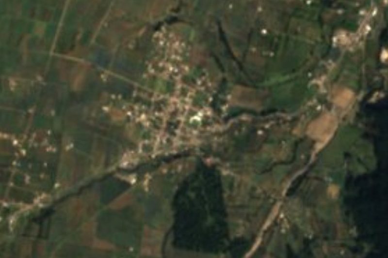

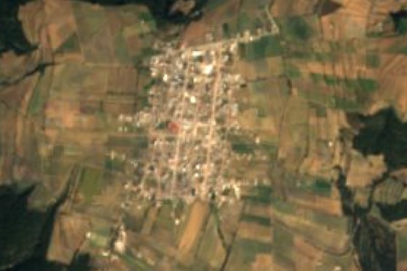
Drive times by road from OpenStreetMap, without traffic. Times marked ~ are estimated from the straight-line distance.
Location from OpenStreetMap. Written by Puebloteca.