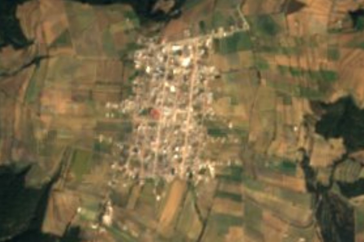
Village Tlatlauquitepec, Puebla Municipality of Tlatlauquitepec Sierra Norte de Puebla
Mountain community at 2,841 m in southern Tlatlauquitepec, where the slope toward the Apulco begins; mutton barbecue and a Guadalupe feast.
From Teziutlán: 40 min by car (43 km by road) How to get there ↓
Near here
See everything nearby ↓


Plan your visit to Oyameles
Where to stay near Oyameles
Compare hotels, posadas and guest houses in Oyameles.
Tours to Oyameles
Day trips and guided outings from Tlatlauquitepec often include Oyameles; with a local guide you can get there without a car.
How to get to Oyameles
- From Teziutlán: about 40 min by road (~43 km)
- Nearest airport: Poza Rica (PAZ), 2 h 6 min by car to Tlatlauquitepec
Links open a partner site. We may earn a commission if you book, at no cost to you.
About Oyameles
Oyameles sits in the high part of Tlatlauquitepec municipality, at 2,841 metres above sea level. The 2020 census counted 3,158 residents. Its name comes from the oyamel, the mountain fir, and the forests around still mix oyamel with pine and oak, though the municipality has lost much of its original cover. From these southern hills, which top 3,000 metres, a long slope of more than 25 kilometres begins and drops to the Apulco river bed below 800 metres. The Cerro de San Antonio rises in the community itself.
Water born up here runs north and gathers in the Apulco. The climate of the municipality's southeastern mountain zones is semi-cold and subhumid, with summer rain; the municipality's average temperature is about 16 °C.
Oyameles has a dish of its own: mutton barbecue, listed among the municipality's dishes. The village feast is for the Virgin of Guadalupe and runs from 8 to 12 December. There is a post-office agency in the community, and the municipality has planned repairs to the road from Oyameles to San José del Retiro.
How to get to Oyameles
Drive from Teziutlán: 40 min, 43 km
Oyameles lies in the south of Tlatlauquitepec municipality, about 18 km in a straight line from the municipal seat (approx. 20 minutes by car). From Puebla you reach the area by the 129D toll road, which crosses the south of the municipality and links Puebla with Teziutlán, or by federal 129, which meets, at the seat, the state road that runs through the municipality. From the seat, secondary roads lead on to Oyameles; the municipal plan includes works on the Oyameles-San José del Retiro stretch. The municipality is served by the Vía line, taxis and suburban routes, but no fixed timetable to Oyameles is published: ask at the Tlatlauquitepec terminal, reached from CAPU in Puebla, and ask there for a combi or taxi.
Directions to Oyameles on Google Maps
Distances are in a straight line; the road is usually longer.
Links open a partner site. We may earn a commission if you book, at no cost to you.
From the nearest cities to Oyameles
- Teziutlán · 43 km by road, 40 min
- Huamantla · 75 km by road, 1 h 5 min
- Huauchinango · about 100 km by road, ~1 h 25 min
Drive times by road from OpenStreetMap, without traffic or stops. Times marked ~ are estimated from the straight-line distance.
Before you go to Oyameles: hours, prices and tips
- Best season
- The Oyameles feast runs 8 to 12 December in honour of the Virgin of Guadalupe. Wikipedia (es), Municipio de Tlatlauquitepec · checked Oct 2026
Hours and prices change, especially around holidays. Each fact links to where we checked it.
Visiting Oyameles: what to see and do
Cerro de San Antonio, inside the community itself.
The oyamel, pine and oak forests of the municipality's high zone.
Oyameles mutton barbecue.
The feast of the Virgin of Guadalupe, 8 to 12 December.
The view of the slope dropping toward the Apulco river from the southern hills.
Plan your trip
Places to stay in Oyameles
Compare hotels, posadas, and rentals in and around Oyameles.
Tours & activities
Day trips and guided outings from Tlatlauquitepec often include Oyameles; with a local guide you can get there without a car.
Rental cars
Pick up a car at PAZ (Poza Rica): about 2 h 6 min by road to Tlatlauquitepec, then 18 km more to Oyameles, on your own schedule.
Flights
The nearest airport with scheduled flights is Poza Rica (PAZ), about 2 h 6 min by road from Tlatlauquitepec, the base for Oyameles.
Mobile data
Signal can drop away from Tlatlauquitepec: download a map of the way to Oyameles before you set out, or carry an eSIM with data.
Links open a partner site. We may earn a commission if you book, at no cost to you.
When to go to Oyameles cool
Oyameles shares the climate of Tlatlauquitepec, 18 km away. The best months to visit are February, March, April, and May.
See the month-by-month climate of Tlatlauquitepec
Weather in Oyameles now and the next 7 days
Live forecast from Open-Meteo. Chance of rain is the day's highest.
The closest Pueblo Mágico: Tlatlauquitepec

Tlatlauquitepec is the Pueblo Mágico closest to Oyameles, with places to stay, food, and more to see.
Also close to
- Teziutlán · Puebla · 25 km away
- Tetela de Ocampo · Puebla · 32 km away
- Cuetzalan · Puebla · 36 km away
- Zozocolco · Veracruz · 50 km away
- Zacatlán · Puebla · 52 km away
Closest to Oyameles


Near Oyameles



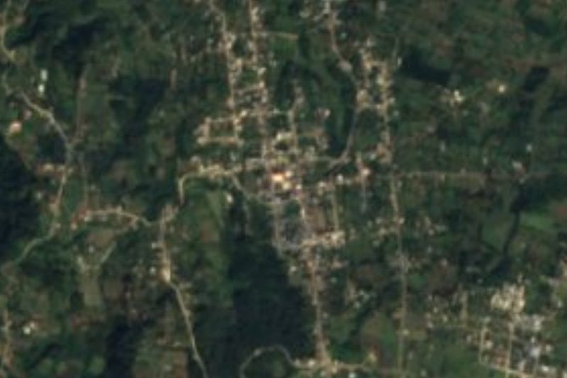
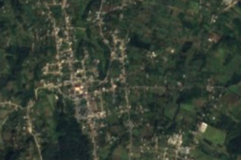
Drive times by road from OpenStreetMap, without traffic. Times marked ~ are estimated from the straight-line distance.
Location from OpenStreetMap. Written by Puebloteca.