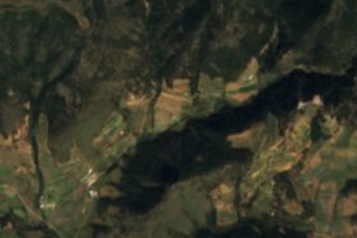
Village Ixtacamaxtitlán, Puebla
Mountain hamlet of Ixtacamaxtitlán at about 2,810 m near Tlaxcala; not the Italian-founded Chipilo of the Puebla valley.
From Huamantla: 35 min by car (28 km by road) How to get there ↓
Near here
See everything nearby ↓


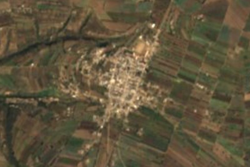

Plan your visit to Chipilo (Ixtacamaxtitlán)
Where to stay near Chipilo (Ixtacamaxtitlán)
Compare hotels, posadas and guest houses in Chipilo (Ixtacamaxtitlán).
Tours to Chipilo (Ixtacamaxtitlán)
Day trips and guided outings from Huamantla often include Chipilo (Ixtacamaxtitlán); with a local guide you can get there without a car.
 Tours from Puebla City
Africam Safari Zoo Admission with Transportation
★ 4.8 (87) · From US$35
How to get to Chipilo (Ixtacamaxtitlán)
- From Huamantla: about 35 min by road (~28 km)
- Nearest airport: Puebla (PBC), 1 h 5 min by car to Huamantla
Links open a partner site. We may earn a commission if you book, at no cost to you.
Tours from Puebla City, near Chipilo (Ixtacamaxtitlán)


Tours, prices and ratings from Viator, checked weekly. We may earn a commission if you book.
About Chipilo (Ixtacamaxtitlán)
Don't mix it up: this Chipilo, also listed by INEGI as Cuatexmola, is a hamlet of 65 people (2020) high in the sierra of Ixtacamaxtitlán, at about 2,810 m, not the well-known Venetian-founded town in San Gregorio Atzompa. Huamantla in Tlaxcala is about 22 km away.
Ixtacamaxtitlán is Puebla's fifth-largest municipality, about 581 km², and most of its boundary runs along Tlaxcala. Its name has several readings: "facing Iztacamaxtli", the white Camaxtli, a deity linked to Venus, after a white crag where the town was founded; "near the white sash"; or "flat land facing the jaws", for the hills around it. 92% of the land is steep-sided volcanic sierra, with canyons; nine tenths drains to the Apulco River and on to the Tecolutla, the rest into the closed Totolzingo basin.
The climate is temperate and sub-humid, cold on the heights: averages run 10 to 18 °C and lows drop to 2 to 4 °C. Most rain falls from May to September. More than two fifths of the municipality is forest. Local cooking features turkey mole, barbacoa and escamoles (ant larvae), called chiquerey here, with aguardiente and mezcal; people work clay, rope fibre and wool. The parish church of San Francisco de Asís in the seat dates from the 16th century.
How to get to Chipilo (Ixtacamaxtitlán)
Drive from Huamantla: 35 min, 28 km
This Chipilo lies in the sierra of Ixtacamaxtitlán, about 62 km in a straight line from Puebla city and 22 km from Huamantla, Tlaxcala. Access is by car on dirt roads; ask about road conditions before you go. If you're after the Chipilo of cheese and Italian food, that one is next to Cholula.
Directions to Chipilo (Ixtacamaxtitlán) on Google Maps
Distances are in a straight line; the road is usually longer.
Links open a partner site. We may earn a commission if you book, at no cost to you.
From the nearest cities to Chipilo (Ixtacamaxtitlán)
- Huamantla · 28 km by road, 35 min
- Chiautempan · 67 km by road, 1 h 10 min
- Puebla · 80 km by road, 1 h 25 min
Drive times by road from OpenStreetMap, without traffic or stops. Times marked ~ are estimated from the straight-line distance.
Visiting Chipilo (Ixtacamaxtitlán): what to see and do
The volcanic sierra and canyons of Ixtacamaxtitlán.
The 16th-century parish church of San Francisco de Asís.
Escamoles in season.
Plan your trip
Places to stay in Chipilo (Ixtacamaxtitlán)
Compare hotels, posadas, and rentals in and around Chipilo (Ixtacamaxtitlán).
Tours & activities
Day trips and guided outings from Huamantla often include Chipilo (Ixtacamaxtitlán); with a local guide you can get there without a car.
Rental cars
Pick up a car at PBC (Puebla): about 1 h 5 min by road to Huamantla, then 22 km more to Chipilo (Ixtacamaxtitlán), on your own schedule.
Flights
The nearest airport with scheduled flights is Puebla (PBC), about 1 h 5 min by road from Huamantla, the base for Chipilo (Ixtacamaxtitlán).
Mobile data
Signal can drop away from Huamantla: download a map of the way to Chipilo (Ixtacamaxtitlán) before you set out, or carry an eSIM with data.
Links open a partner site. We may earn a commission if you book, at no cost to you.
When to go to Chipilo (Ixtacamaxtitlán) cool
Chipilo (Ixtacamaxtitlán) shares the climate of Huamantla, 22 km away. The best months to visit are January, February, November, and December.
See the month-by-month climate of Huamantla
Weather in Chipilo (Ixtacamaxtitlán) now and the next 7 days
Live forecast from Open-Meteo. Chance of rain is the day's highest.
The closest Pueblo Mágico: Huamantla

Huamantla is the Pueblo Mágico closest to Chipilo (Ixtacamaxtitlán), with places to stay, food, and more to see.
Also close to
- Ixtenco · Tlaxcala · 29 km away
- Tlaxco · Tlaxcala · 31 km away
- Tetela de Ocampo · Puebla · 36 km away
- Chignahuapan · Puebla · 42 km away
- Zacatlán · Puebla · 50 km away
Closest to Chipilo (Ixtacamaxtitlán)
-
San José Villarreal · Village · 7 km away
-
Atltzayanca · Town · 9 km away
-
Terrenate · Town · 9 km away
-
Emiliano Zapata · Town · 10 km away
-
Concepción Hidalgo · Town · 11 km away
-
Ixtacamaxtitlán · Village · 14 km away
-
Hacienda Tecoac · Landmark · 15 km away
-
Benito Juárez · Town · 16 km away

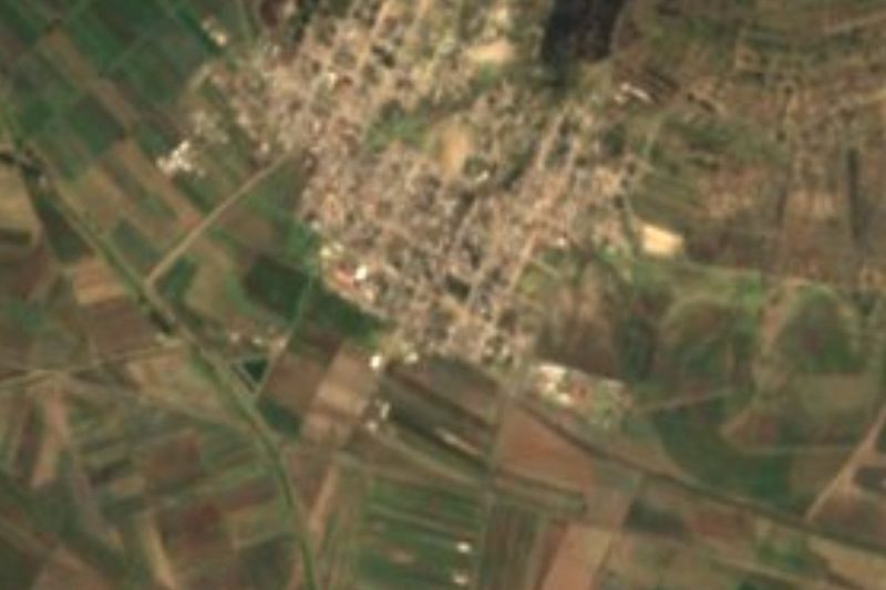
Near Chipilo (Ixtacamaxtitlán)
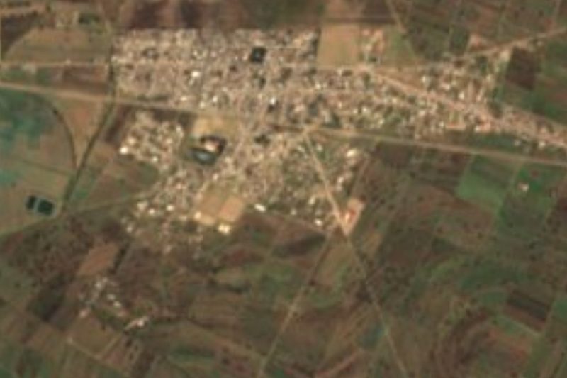
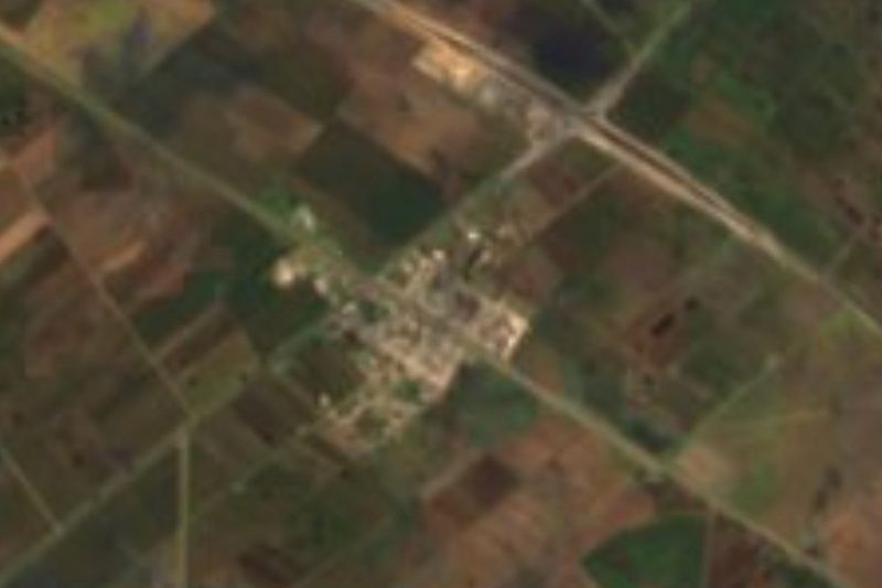


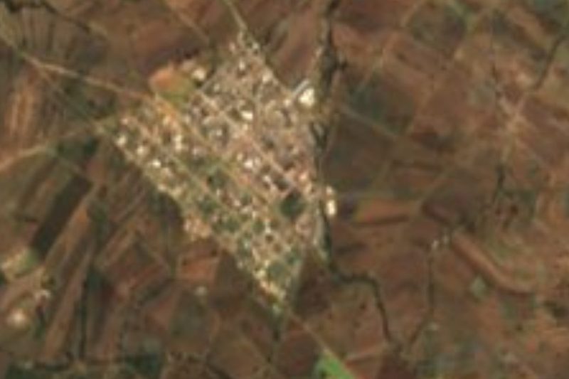


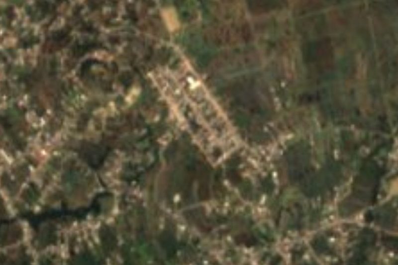


Drive times by road from OpenStreetMap, without traffic. Times marked ~ are estimated from the straight-line distance.
Location from OpenStreetMap. Written by Puebloteca.