Village Terrenate, Tlaxcala
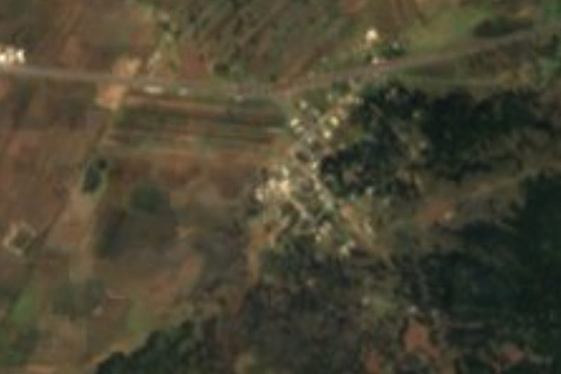
Village in Terrenate at over 3,000 m, in potato and barley country; one of the municipality's largest localities.
From Huamantla: 35 min by car (33 km by road) How to get there ↓
Near here
See everything nearby ↓



Plan your visit to San José Villarreal
Where to stay near San José Villarreal
Compare hotels, posadas and guest houses in San José Villarreal.
Tours to San José Villarreal
Day trips and guided outings from Tlaxco often include San José Villarreal; with a local guide you can get there without a car.
 Tours from Puebla City
Africam Safari Zoo Admission with Transportation
★ 4.8 (87) · From US$35
How to get to San José Villarreal
- From Huamantla: about 35 min by road (~33 km)
- Nearest airport: Puebla (PBC), 1 h 6 min by car to Tlaxco
Links open a partner site. We may earn a commission if you book, at no cost to you.
Tours from Puebla City, near San José Villarreal


Tours, prices and ratings from Viator, checked weekly. We may earn a commission if you book.
About San José Villarreal
San José Villarreal is one of the largest localities in the municipality of Terrenate, in the high north of Tlaxcala. It sits at about 3,079 metres above sea level, well above the municipal seat, which is around 2,680 m, so its fields depend on a cold climate and seasonal rains. Its patron saint is Joseph of Nazareth, which gives the village its name. The 2020 census counted 1,418 residents, 697 men and 721 women, of whom 1,406 declared themselves Catholic.
The population curve tells the recent story: only 234 people in 1940, 507 in 1970, 1,256 in 1990 and a plateau of about 1,430 since 2000, a sign that growth has stalled. The whole municipality has high out-migration, mostly of young people to the United States, and the people of the area are of Otomí origin, a heritage reflected in the name Terrenate itself.
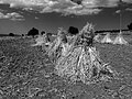
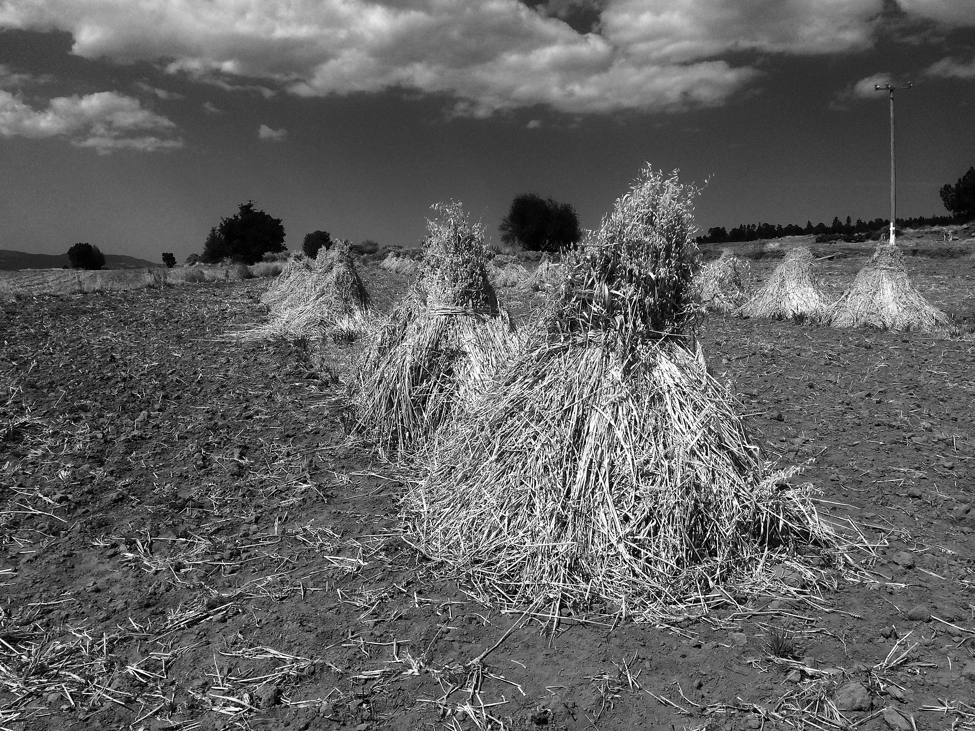
Life in the village revolves around farming. The municipality grows maize, beans, broad beans, wheat and barley, mostly for family use, and the Spanish Wikipedia notes that San José Villarreal stands out for potato growing because of its climate. The photo on the page, with sheaves of oats or barley standing in a freshly harvested field, is a fair portrait: farming is the basic activity of the villages of northern Tlaxcala. Nearby are other municipal traditions, such as the camada carnival and the Danza de los Cuchillos of Toluca de Guadalupe, in the same municipality.
How to get to San José Villarreal
Drive from Huamantla: 35 min, 33 km
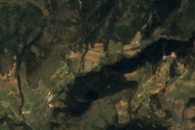
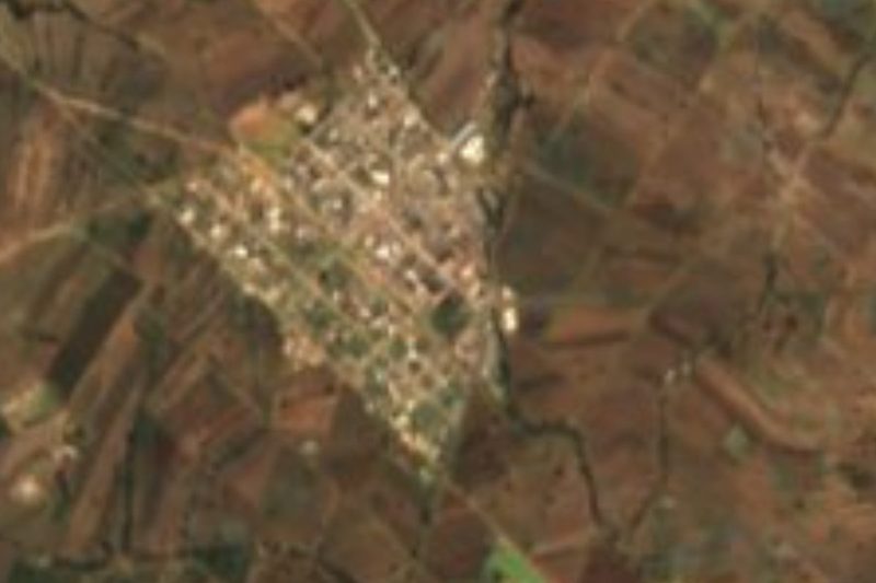
San José Villarreal is in northern Tlaxcala, about 10 km by road from Terrenate (about 12 minutes) and about 33 km from Huamantla, the nearest Pueblo Mágico (about 35 minutes). From Huamantla take federal highway 136 north towards Terrenate; on the final stretch you follow the Libramiento a Villarreal and Avenida 27 de Septiembre into the village. Puebla is about 86 km away (about 1 h 25 min) via the 136 to Zitlaltepec and the Puebla–Xalapa motorway (140D). There are no published bus lines or colectivo timetables for the village, so the practical way in is by car or taxi from Huamantla or Terrenate. Distances and times are computed on the OpenStreetMap road network, without traffic.
Directions to San José Villarreal on Google Maps
Distances are in a straight line; the road is usually longer.
Links open a partner site. We may earn a commission if you book, at no cost to you.
From the nearest cities to San José Villarreal
- Huamantla · 33 km by road, 35 min
- Chiautempan · 52 km by road, 1 h
- San Martín Texmelucan · 79 km by road, 1 h 15 min
Drive times by road from OpenStreetMap, without traffic or stops. Times marked ~ are estimated from the straight-line distance.
Before you go to San José Villarreal: hours, prices and tips
- Best time of day
- March to April, when the municipality holds its camada encounter (17 March, in the seat) and Easter festivities; the highlands are usually dry and cold then. La Jornada de Oriente · checked Oct 2026
Hours and prices change, especially around holidays. Each fact links to where we checked it.
Visiting San José Villarreal: what to see and do
The potato, barley and oat fields around the village, at over 3,000 m
The high plateau of northern Tlaxcala seen from the farm tracks
The municipal seat, Terrenate, about 10 km away, with its 17th-century parish of San Nicolás
The Danza de los Cuchillos and camada carnival of Toluca de Guadalupe, in the same municipality
Huamantla, a Pueblo Mágico about 33 km away on highway 136
Plan your trip
Places to stay in San José Villarreal
Compare hotels, posadas, and rentals in and around San José Villarreal.
Tours & activities
Day trips and guided outings from Tlaxco often include San José Villarreal; with a local guide you can get there without a car.
Rental cars
Pick up a car at PBC (Puebla): about 1 h 6 min by road to Tlaxco, then 25 km more to San José Villarreal, on your own schedule.
Flights
The nearest airport with scheduled flights is Puebla (PBC), about 1 h 6 min by road from Tlaxco, the base for San José Villarreal.
Mobile data
Signal can drop away from Tlaxco: download a map of the way to San José Villarreal before you set out, or carry an eSIM with data.
Links open a partner site. We may earn a commission if you book, at no cost to you.
When to go to San José Villarreal cool
San José Villarreal shares the climate of Tlaxco, 25 km away. The best months to visit are January, February, November, and December.
See the month-by-month climate of Tlaxco
Weather in San José Villarreal now and the next 7 days
Live forecast from Open-Meteo. Chance of rain is the day's highest.
The closest Pueblo Mágico: Tlaxco

Tlaxco is the Pueblo Mágico closest to San José Villarreal, with places to stay, food, and more to see.
Also close to
- Huamantla · Tlaxcala · 25 km away
- Ixtenco · Tlaxcala · 32 km away
- Tetela de Ocampo · Puebla · 33 km away
- Chignahuapan · Puebla · 36 km away
- Zacatlán · Puebla · 45 km away
Closest to San José Villarreal
-
Emiliano Zapata · Town · 4 km away
-
Terrenate · Town · 6 km away
-
Chipilo (Ixtacamaxtitlán) · Village · 7 km away
-
San José de la Laguna · Village · 10 km away
-
Ixtacamaxtitlán · Village · 13 km away
-
Capulac · Village · 15 km away
-
Atltzayanca · Town · 16 km away
-
La Peñuela · Mountain · 16 km away

Near San José Villarreal





Drive times by road from OpenStreetMap, without traffic. Times marked ~ are estimated from the straight-line distance.
Location from OpenStreetMap. Written by Puebloteca.