Village Ixtacamaxtitlán, Puebla
Seat of Puebla's fifth-largest municipality, in the mountains by Tlaxcala; its name recalls Iztacamaxtli, the white Camaxtli.
From Teziutlán: 1 h 5 min by car (77 km by road) How to get there ↓
Near here
See everything nearby ↓



Plan your visit to Ixtacamaxtitlán
Where to stay near Ixtacamaxtitlán
Compare hotels, posadas and guest houses in Ixtacamaxtitlán.
Tours to Ixtacamaxtitlán
Day trips and guided outings from Tetela de Ocampo often include Ixtacamaxtitlán; with a local guide you can get there without a car.
 Tours from Puebla City
Africam Safari Zoo Admission with Transportation
★ 4.8 (87) · From US$35
How to get to Ixtacamaxtitlán
- From Teziutlán: about 1 h 5 min by road (~77 km)
- Nearest airport: Puebla (PBC), 2 h 8 min by car to Tetela de Ocampo
Links open a partner site. We may earn a commission if you book, at no cost to you.
Tours from Puebla City, near Ixtacamaxtitlán


Tours, prices and ratings from Viator, checked weekly. We may earn a commission if you book.
About Ixtacamaxtitlán
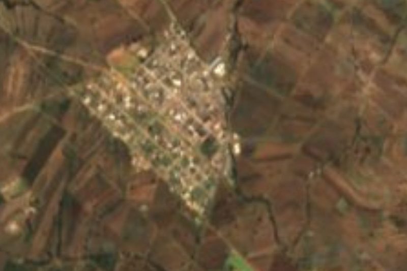
Ixtacamaxtitlán is the seat of the municipality of the same name in northern Puebla, in the mountains of the Sierra Madre Oriental; much of the municipality borders Tlaxcala. The village is small, with 391 people in 2020, at about 2,110 m, but the municipality is huge: 580.88 km², the fifth largest in the state.
The name has several readings. The first derives it from istak, kamaxtli and tlan, after the deity Iztacamaxtli or white Camaxtli, one of the twins of Quetzalcóatl, the one representing Venus as the morning star and also known as Tlahuizcalpantecuhtli, a widely worshipped warrior god; Ixtacamaxtitlán would then mean "facing Iztacamaxtli", after a white crag where the place was founded. A more modern reading gives "near the white sash", and another "flat, fertile land facing the jaws", the jaws being the hills that surround the village.
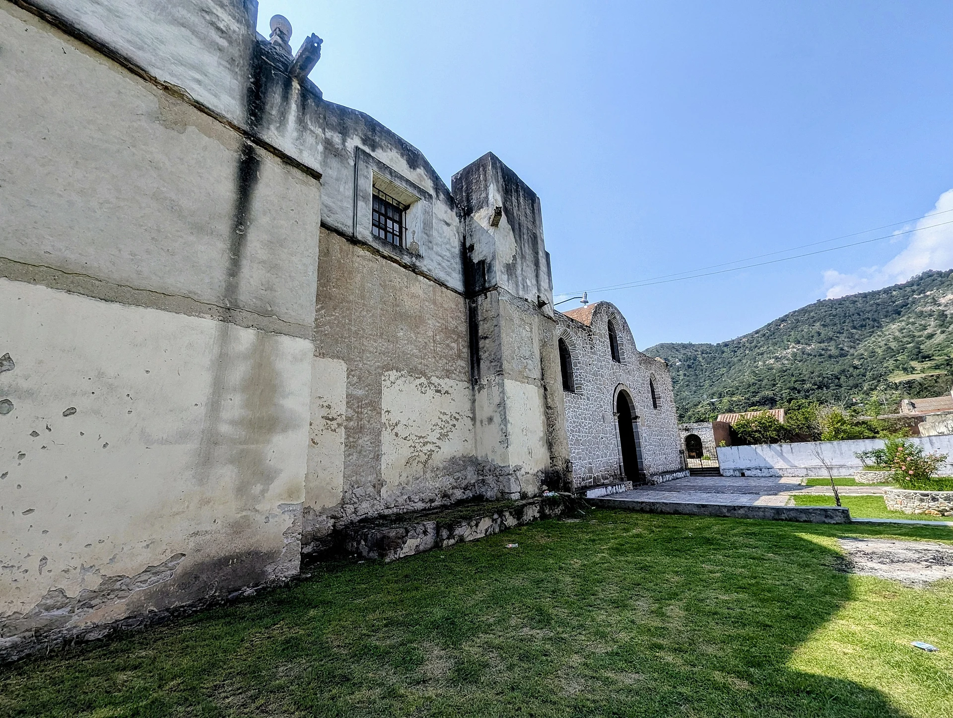
Nearly all the municipality, 92%, is volcanic sierra with steep slopes, plus 7% canyon. Ninety percent of it drains through the Apulco River sub-basin, part of the Tecolutla basin, toward the Gulf, and the rest toward Lake Totolcingo. The climate is mild and sub-humid, with mean temperatures of 16 to 18 °C, lows of 2 to 4 °C and rain from May to September, 500 to 600 mm a year. The church of San Francisco de Asís is the village's main building.
How to get to Ixtacamaxtitlán
Drive from Teziutlán: 1 h 5 min, 77 km
Ixtacamaxtitlán lies in northern Puebla next to the Tlaxcala line. The Pueblo Mágico of Tetela de Ocampo is about 21 km away in a straight line, and Puebla city about 76 km. These are mountain roads; go in your own vehicle and by daylight.
Directions to Ixtacamaxtitlán on Google Maps
Distances are in a straight line; the road is usually longer.
Links open a partner site. We may earn a commission if you book, at no cost to you.
From the nearest cities to Ixtacamaxtitlán
- Teziutlán · 77 km by road, 1 h 5 min
- Huamantla · 69 km by road, 1 h 15 min
- Chiautempan · 76 km by road, 1 h 20 min
Drive times by road from OpenStreetMap, without traffic or stops. Times marked ~ are estimated from the straight-line distance.
Before you go to Ixtacamaxtitlán: hours, prices and tips
- Best season
- The rainy season runs May to September; in winter lows drop to 2–4 °C. Wikipedia · checked Oct 2026
Hours and prices change, especially around holidays. Each fact links to where we checked it.
Visiting Ixtacamaxtitlán: what to see and do
The church of San Francisco de Asís.
The white crag and the hills around the village.
The slopes and canyons of the Apulco River basin.
Plan your trip
Places to stay in Ixtacamaxtitlán
Compare hotels, posadas, and rentals in and around Ixtacamaxtitlán.
Tours & activities
Day trips and guided outings from Tetela de Ocampo often include Ixtacamaxtitlán; with a local guide you can get there without a car.
Rental cars
Pick up a car at PBC (Puebla): about 2 h 8 min by road to Tetela de Ocampo, then 21 km more to Ixtacamaxtitlán, on your own schedule.
Flights
The nearest airport with scheduled flights is Puebla (PBC), about 2 h 8 min by road from Tetela de Ocampo, the base for Ixtacamaxtitlán.
Mobile data
Signal can drop away from Tetela de Ocampo: download a map of the way to Ixtacamaxtitlán before you set out, or carry an eSIM with data.
Links open a partner site. We may earn a commission if you book, at no cost to you.
When to go to Ixtacamaxtitlán cool
Ixtacamaxtitlán shares the climate of Tetela de Ocampo, 21 km away. The best months to visit are January, February, March, and December.
See the month-by-month climate of Tetela de Ocampo
Weather in Ixtacamaxtitlán now and the next 7 days
Live forecast from Open-Meteo. Chance of rain is the day's highest.
The closest Pueblo Mágico: Tetela de Ocampo

Tetela de Ocampo is the Pueblo Mágico closest to Ixtacamaxtitlán, with places to stay, food, and more to see.
Also close to
- Tlaxco · Tlaxcala · 32 km away
- Chignahuapan · Puebla · 33 km away
- Huamantla · Tlaxcala · 36 km away
- Zacatlán · Puebla · 37 km away
- Tlatlauquitepec · Puebla · 42 km away
Closest to Ixtacamaxtitlán
-
Emiliano Zapata · Town · 13 km away
-
San José Villarreal · Village · 13 km away
-
Chipilo (Ixtacamaxtitlán) · Village · 14 km away
-
Tlamanca · Village · 14 km away
-
La Cañada · Town · 19 km away
-
Cuyoaco · Village · 20 km away
-
Terrenate · Town · 20 km away
-
Atltzayanca · Town · 22 km away


Near Ixtacamaxtitlán





Drive times by road from OpenStreetMap, without traffic. Times marked ~ are estimated from the straight-line distance.
Location from OpenStreetMap. Written by Puebloteca.