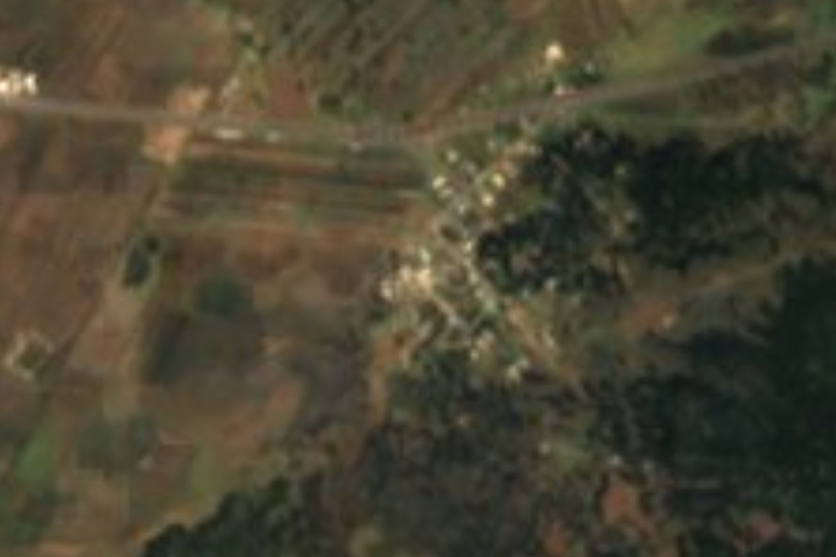
Village Tetla de la Solidaridad, Tlaxcala Municipality of Tetla de la Solidaridad Northern Tlaxcala
Village of 555 people at 2,535 m beside the Apizaco–Tlaxco highway, ringed by hills over 2,600 m and 6 km from Tetla.
From Chiautempan: 25 min by car (28 km by road) How to get there ↓
Near here
See everything nearby ↓


Plan your visit to Plan de Ayala
Where to stay near Plan de Ayala
Compare hotels, posadas and guest houses in Plan de Ayala.
Tours to Plan de Ayala
Day trips and guided outings from Tlaxco often include Plan de Ayala; with a local guide you can get there without a car.
 Tours from Puebla City
Africam Safari Zoo Admission with Transportation
★ 4.8 (87) · From US$35
How to get to Plan de Ayala
- From Chiautempan: about 25 min by road (~28 km)
- Nearest airport: Puebla (PBC), 1 h 6 min by car to Tlaxco
Links open a partner site. We may earn a commission if you book, at no cost to you.
Tours from Puebla City, near Plan de Ayala


Tours, prices and ratings from Viator, checked weekly. We may earn a commission if you book.
About Plan de Ayala
Plan de Ayala is a locality in Tetla de la Solidaridad municipality, at 2,535 metres and about 6 km in a straight line from Tetla, the municipal seat. At the 2020 census it had 555 residents (271 women and 284 men), well up from 337 in 2005 and 460 in 2010: it is the sixth-largest of the municipality's 74 localities. It has 146 homes, nearly all with electricity and piped water, and about 17% of residents were born in another state.
The village lies near the Apizaco–Tlaxco highway, at the level of Mena. A Commons photo taken 1.4 km away shows the sign gantry on that road with distances to Apizaco (10 km) and Tlaxcala (30 km). The surroundings are hills and plots, with peaks such as Tepetomayo (2,756 m), Coaxapo (2,751 m) and El Mirador (2,650 m). The climate is temperate highland, with a 13.5 °C mean, 683 mm of rain, frosts down to -4 °C and rarely snow: the biggest fall since 1970 was 1.2 cm, on 5 March 1987.
Smaller communities lie nearby: Villa de las Flores (413 residents) 1.9 km to the northwest and the colonia Santa Rosa Mena (101) 1.6 km to the north. About 3 km northwest are two lodgings, Cabañas Xacalas Villas and Motel Real de Mena; there is no registered lodging in the village itself. It should not be confused with other places called Plan de Ayala in other states.
How to get to Plan de Ayala
Drive from Chiautempan: 25 min, 28 km
Plan de Ayala lies near the Apizaco–Tlaxco highway at the level of Mena, about 19 km from Tlaxco (around 28 minutes by car) and about 6 km in a straight line from Tetla. A road sign near the village gives Apizaco at 10 km and Tlaxcala at 30 km. From Mexico City there is a direct bus from TAPO to Tlaxco with Autotransportes Tlaxcala, Apizaco, Huamantla (ATAH), about 2 h 30 min according to Rome2rio; from Apizaco, Autobuses Teotihuacan runs to Tlaxco every hour in about 25 minutes. There are no published stops or schedules for the village itself. By car, the natural route is this highway from Apizaco toward Tlaxco.
Directions to Plan de Ayala on Google Maps
Distances are in a straight line; the road is usually longer.
Links open a partner site. We may earn a commission if you book, at no cost to you.
From the nearest cities to Plan de Ayala
- Chiautempan · 28 km by road, 25 min
- Huamantla · 31 km by road, 30 min
- San Martín Texmelucan · 51 km by road, 40 min
Drive times by road from OpenStreetMap, without traffic or stops. Times marked ~ are estimated from the straight-line distance.
Visiting Plan de Ayala: what to see and do
The Apizaco–Tlaxco highway at Mena, with the sierra hills behind.
The hills of Tepetomayo (2,756 m) and Coaxapo (2,751 m), visible from the plots.
Villa de las Flores, 1.9 km northwest, with its chapel and auxiliary town hall.
The cabins and motel at Mena, 3 km away, for those who want to stay in the area.
Plan your trip
Places to stay in Plan de Ayala
Compare hotels, posadas, and rentals in and around Plan de Ayala.
Tours & activities
Day trips and guided outings from Tlaxco often include Plan de Ayala; with a local guide you can get there without a car.
Rental cars
Pick up a car at PBC (Puebla): about 1 h 6 min by road to Tlaxco, then 13 km more to Plan de Ayala, on your own schedule.
Flights
The nearest airport with scheduled flights is Puebla (PBC), about 1 h 6 min by road from Tlaxco, the base for Plan de Ayala.
Mobile data
Signal can drop away from Tlaxco: download a map of the way to Plan de Ayala before you set out, or carry an eSIM with data.
Links open a partner site. We may earn a commission if you book, at no cost to you.
When to go to Plan de Ayala cool
Plan de Ayala shares the climate of Tlaxco, 13 km away. The best months to visit are January, February, November, and December.
See the month-by-month climate of Tlaxco
Weather in Plan de Ayala now and the next 7 days
Live forecast from Open-Meteo. Chance of rain is the day's highest.
The closest Pueblo Mágico: Tlaxco

Tlaxco is the Pueblo Mágico closest to Plan de Ayala, with places to stay, food, and more to see.
Also close to
- Huamantla · Tlaxcala · 28 km away
- Ixtenco · Tlaxcala · 33 km away
- Chignahuapan · Puebla · 38 km away
- Tetela de Ocampo · Puebla · 47 km away
- Huejotzingo · Puebla · 49 km away
Closest to Plan de Ayala
-
Villa de las Flores · Village · 2 km away
-
Santa María Zotoluca · Village · 4 km away
-
San Bartolomé Matlalohcan · Town · 6 km away
-
San Francisco Atexcatzinco · Town · 6 km away
-
Tetla de la Solidaridad · Town · 6 km away
-
Capulac · Village · 8 km away
-
Apizaco · Town · 9 km away
-
San José Tetel · Town · 9 km away


Near Plan de Ayala


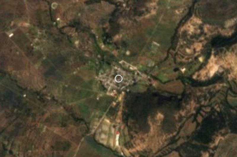




Drive times by road from OpenStreetMap, without traffic. Times marked ~ are estimated from the straight-line distance.
Location from OpenStreetMap. Written by Puebloteca.