

Town Tetla de la Solidaridad, Tlaxcala Municipality of Tetla de la Solidaridad Northern Tlaxcala
North Tlaxcala town at 2,509 m whose Nahuatl name means "in the little mirror of water"; it has its own carnival camada and a 17th-century chapel.
From Chiautempan: 25 min by car (22 km by road) How to get there ↓
Near here
See everything nearby ↓


Plan your visit to San Francisco Atexcatzinco
Where to stay near San Francisco Atexcatzinco
Compare hotels, posadas and guest houses in San Francisco Atexcatzinco.
Tours to San Francisco Atexcatzinco
Day trips around Tlaxco sometimes stop in San Francisco Atexcatzinco; a tour is the easy way to see it without a car.
 Tours from Puebla City
Africam Safari Zoo Admission with Transportation
★ 4.8 (87) · From US$35
How to get to San Francisco Atexcatzinco
- From Chiautempan: about 25 min by road (~22 km)
- Nearest airport: Puebla (PBC), 1 h 6 min by car to Tlaxco
Links open a partner site. We may earn a commission if you book, at no cost to you.
Tours from Puebla City, near San Francisco Atexcatzinco


Tours, prices and ratings from Viator, checked weekly. We may earn a commission if you book.
About San Francisco Atexcatzinco
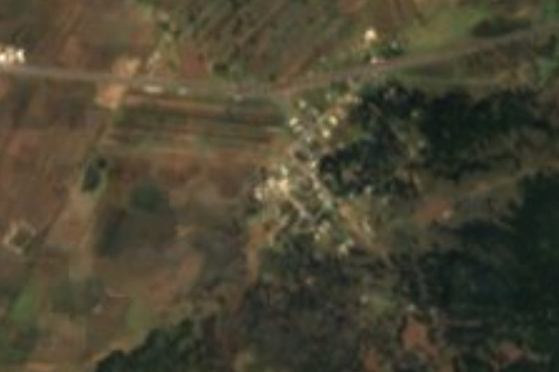
San Francisco Atexcatzinco is a locality in the municipality of Tetla de la Solidaridad, in northern Tlaxcala, at about 2,509 metres above sea level. The name is Nahuatl and means "in the little mirror of water": atl (water), tezcatl (mirror), the diminutive tzin and the locative co. Its patron is St Francis of Assisi. The 2020 census counted 6,860 residents, up from 5,087 in 2010, growth of more than a third in ten years. The state municipal encyclopedia, using data from the late 1990s, already listed it as a place whose main activity was manufacturing, which fits the nearby Ciudad Industrial Xicohténcatl inside the same municipality.
The landscape around it is dry highland: maguey, prickly pear and grass, with hills such as Santa Margarita (2,689 m) and Ahuatepec (2,616 m) in view. The village church is a chapel dedicated to St Francis that a tourism article describes as colonial, from the 17th century, with thick stone walls and a vaulted roof.
At carnival the village dances with the camada In Tlanextli Atexcatzinco ("the splendour of Atexcatzinco"), about 48 pairs strong, which chose to break from the traditional costume with prehispanic-style masks and headdresses of pheasant and rooster feathers, made by the members themselves. It performed at the 2018 Carnaval Tetla gathering. In autumn a flower sanctuary in the village runs walks through marigold and pumpkin fields for Day of the Dead; in 2025 these were on 4 and 5 October. There is no lodging in the village; the nearest motels are about 5 km away.
How to get to San Francisco Atexcatzinco
Drive from Chiautempan: 25 min, 22 km
Atexcatzinco is about 5 km northwest of Tetla, the municipal seat, in a straight line; INAFED puts Tetla 21 km from Tlaxcala city and 22 km from Tlaxco by the federal highway. From Tlaxcala head toward Apizaco and keep north on the Tetla road; the Apizaco–Tlaxco highway passes a few kilometres from the village. By car it is about 20 minutes from Tlaxco (approx. 16 km) and close to an hour from Puebla (approx. 48 km). The practical way is a bus to Apizaco or Tlaxco and then a taxi, or asking for the combi to Tetla.
Directions to San Francisco Atexcatzinco on Google Maps
Distances are in a straight line; the road is usually longer.
Links open a partner site. We may earn a commission if you book, at no cost to you.
From the nearest cities to San Francisco Atexcatzinco
- Chiautempan · 22 km by road, 25 min
- Huamantla · 35 km by road, 30 min
- San Martín Texmelucan · 46 km by road, 40 min
Drive times by road from OpenStreetMap, without traffic or stops. Times marked ~ are estimated from the straight-line distance.
Before you go to San Francisco Atexcatzinco: hours, prices and tips
- Best season
- Carnival: the Sunday to Tuesday before Ash Wednesday (the camada performed at the Carnaval Tetla gathering). Marigold and pumpkin fields in October and November (4 and 5 October in 2025). Directo al Paladar / Wikipedia · checked Oct 2026
Hours and prices change, especially around holidays. Each fact links to where we checked it.
Visiting San Francisco Atexcatzinco: what to see and do
Chapel of San Francisco, colonial per a tourism article (17th century), stone with a vaulted roof.
Camada In Tlanextli Atexcatzinco at carnival, with prehispanic-inspired masks and headdresses.
Marigold and pumpkin fields in the Day of the Dead season, at a flower sanctuary in the village.
Balneario El Mirador in Barrio San Isidro, with panoramic views, slides and a covered pool.
Church of Santiago and the bull-breeding Hacienda Piedras Negras in Tetla, about 5 km away.
Plan your trip
Places to stay in San Francisco Atexcatzinco
Compare hotels, posadas, and rentals in and around San Francisco Atexcatzinco.
Tours & activities
Day trips around Tlaxco sometimes stop in San Francisco Atexcatzinco; a tour is the easy way to see it without a car.
Rental cars
Pick up a car at PBC (Puebla): about 1 h 6 min by road to Tlaxco, then 16 km more to San Francisco Atexcatzinco, on your own schedule.
Flights
The nearest airport with scheduled flights is Puebla (PBC), about 1 h 6 min by road from Tlaxco, the base for San Francisco Atexcatzinco.
Mobile data
Signal can drop away from Tlaxco: download a map of the way to San Francisco Atexcatzinco before you set out, or carry an eSIM with data.
Links open a partner site. We may earn a commission if you book, at no cost to you.
When to go to San Francisco Atexcatzinco cool
San Francisco Atexcatzinco shares the climate of Tlaxco, 16 km away. The best months to visit are January, February, November, and December.
See the month-by-month climate of Tlaxco
Weather in San Francisco Atexcatzinco now and the next 7 days
Live forecast from Open-Meteo. Chance of rain is the day's highest.
The closest Pueblo Mágico: Tlaxco

Tlaxco is the Pueblo Mágico closest to San Francisco Atexcatzinco, with places to stay, food, and more to see.
Also close to
- Huamantla · Tlaxcala · 29 km away
- Ixtenco · Tlaxcala · 33 km away
- Chignahuapan · Puebla · 42 km away
- Huejotzingo · Puebla · 44 km away
- Cholula · Puebla · 49 km away
Closest to San Francisco Atexcatzinco
-
San Bartolomé Matlalohcan · Town · 3 km away
-
San José Tetel · Town · 4 km away
-
Tetla de la Solidaridad · Town · 5 km away
-
Villa de las Flores · Village · 5 km away
-
Apizaco · Town · 6 km away
-
Basílica de Nuestra Señora de la Misericordia (Apizaco) · Landmark · 6 km away
-
Muñoz · Village · 6 km away
-
Plan de Ayala · Village · 6 km away

Near San Francisco Atexcatzinco


Drive times by road from OpenStreetMap, without traffic. Times marked ~ are estimated from the straight-line distance.
Location from OpenStreetMap. Written by Puebloteca.